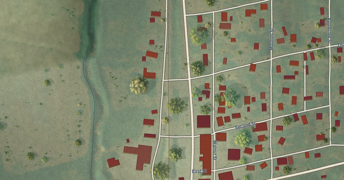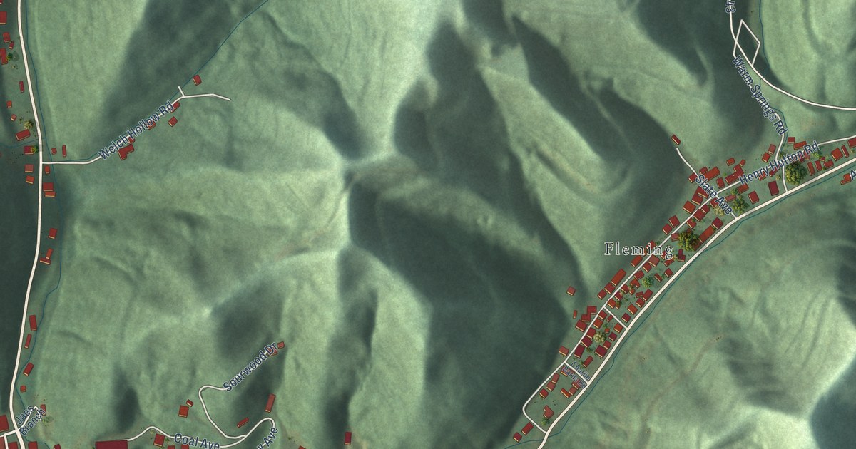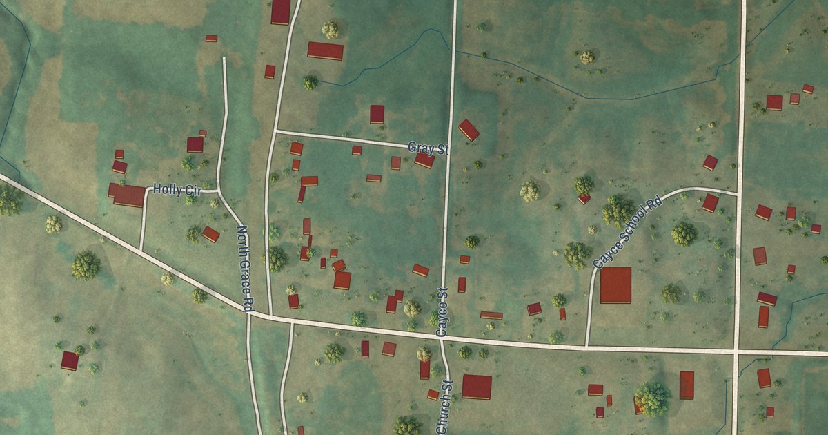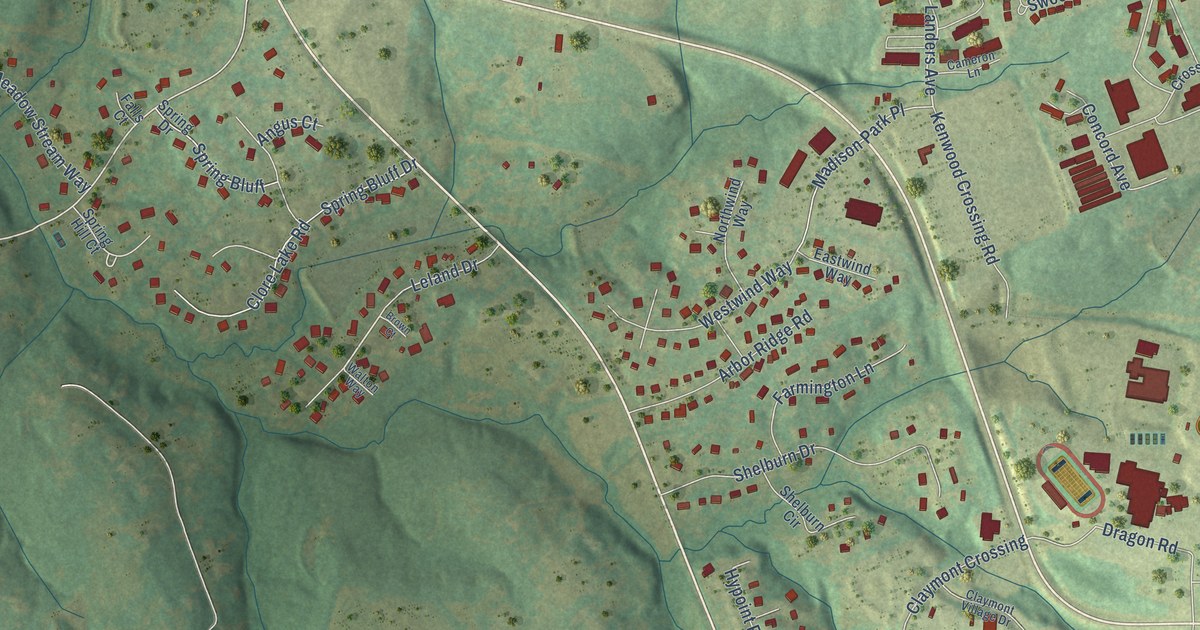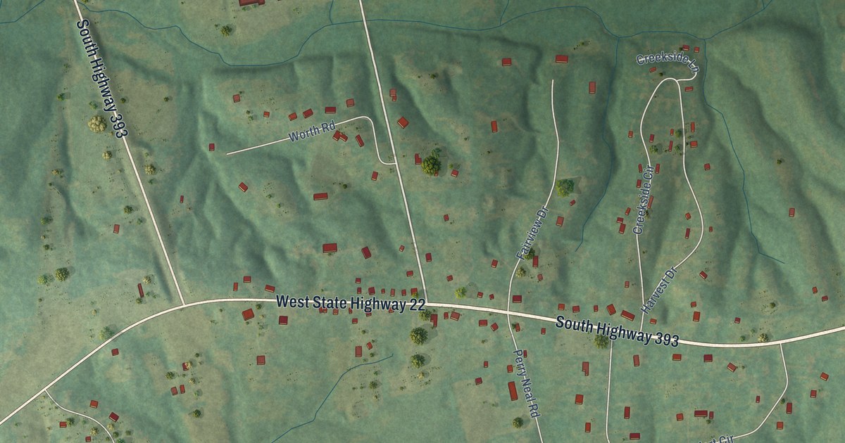
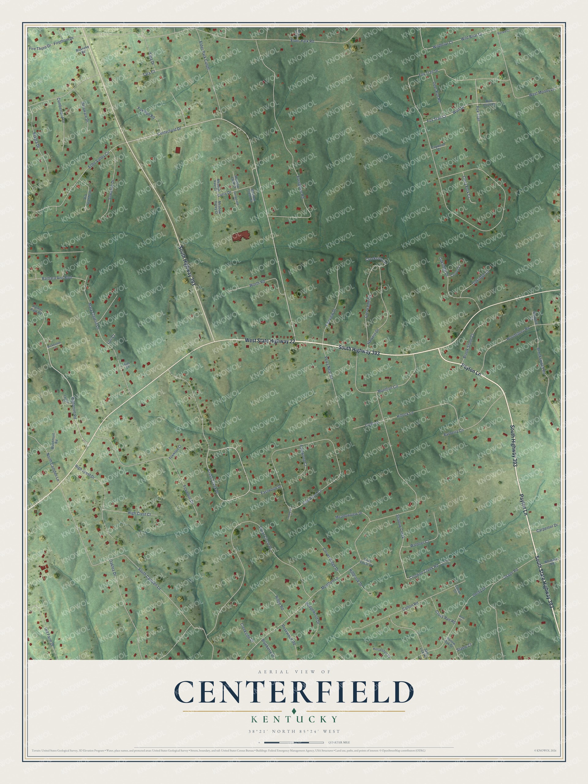
This beautifully detailed map of Centerfield, Kentucky was created in 2026 using aerial imagery combined with modern topographical, census, street and landmark data. It’s a one-of-a-kind view of Centerfield that combines accurate data with a vintage aesthetic. The map shows every building in its true location, many of the roads carry their names, and the shaded topographic relief shows the shape of the land.
Explore an aerial view of Centerfield, Kentucky
On the map you’ll find South Highway 393, West State Highway 22, Payton Lane, South State Highway 393, Centerfield Drive, Highpoint Road, Fox Trail Court, Crooked Creek Road, Cross Creek Drive, Fox Trail Drive, Montfort Lane, Elder Park Road, and more. If you look closely you can even find your house accurately drawn in its correct location. Zoom in on the preview to look for yours.
Did You Know?
From Internet Archive: "Union Ridge was a small church, located not far from the village of Centerfield, in Oldham county."
Centerfield is a community in Oldham County.
Take a closer look at the Centerfield map
Names on this map
These names are printed on this map.
Streets and roads: South Highway 393, West State Highway 22, Payton Lane, South State Highway 393, Centerfield Drive, Highpoint Road, Fox Trail Court, Crooked Creek Road, Cross Creek Drive, Fox Trail Drive, Montfort Lane, Elder Park Road.
More street names, A to Z
Ballard Court, Barbara Ann Boulevard, Barberry Circle, Blueberry Drive, Brook Stone Court, Brookswood Road, Carpenter Drive, Caywood Court, Centerfield Court, Clover Ridge Drive, Colton Court, Colton Road, Cornell Court, Creekside Circle, Creekside Drive, Creekside Lane, Creekwood Court, Croft Circle Drive, Croft Lane, Crooked Creek Court, Cross Run Road, Cumberland Drive, Curry Drive, Curry Fork Court, Deer Run Road, Delaware Drive, Derby Court, Derby Drive, Eastwood Circle, Eastwood Court, Eastwood Drive, Echo Valley Circle, Elder Park Cutoff, Evergreen Road, Fairview Drive, Firethorn Drive, Fire Thorn Drive, Fox Run Road, Fox Trail, Foxwood Court, Foxwood Drive, Harvest Drive, Hedgewood Drive, High Crest Court, High Crest Drive, Hillbrook Drive, Hillock Lane, Hollow Oak Drive, Horseshoe Court, Kim Court, Lori Court, Maple Leaf Drive, Mary Clayton Lane, Meadow Creek Court, Meadow Land Court, Meadow Vale Court, Meadow Valley Court, Meadowview Drive, Mickendee Lane, Montfort Circle, Niagra Drive, North Camden Lane, Oaklea Drive, Oakridge Court, Oakridge Drive, Old Farm Drive, Osage Road, Outer Circle Drive, Palmer Park Road, Perry Neal Road, Ridge Road, Rio Grande Drive, Roanoke Road, Rosewood Road, Salt Lick Road, Shadow Creek, South Camden Lane, Stable Court, Suwanee Drive, Tara Court, Tara Drive, Tarrant Lane, Waldner Court, West Moody Lane, Whittaker Road, Wild Briar Court, Wildbriar Court, Wolf Drive, Wolf Drive Court, Woodhill Court, Woodmont Road, Woodsboro Road, Worth Road.
See it on a wall
The Centerfield map as a framed print. Swipe for more.


This beautifully detailed map of Centerfield makes an attractive addition to your office, library, or den, and it can even be used to teach children the geography and history of the area. It also makes a great gift for anyone who grew up in Centerfield or moved away. When you’re done exploring, click here to get your copy of the Centerfield map.