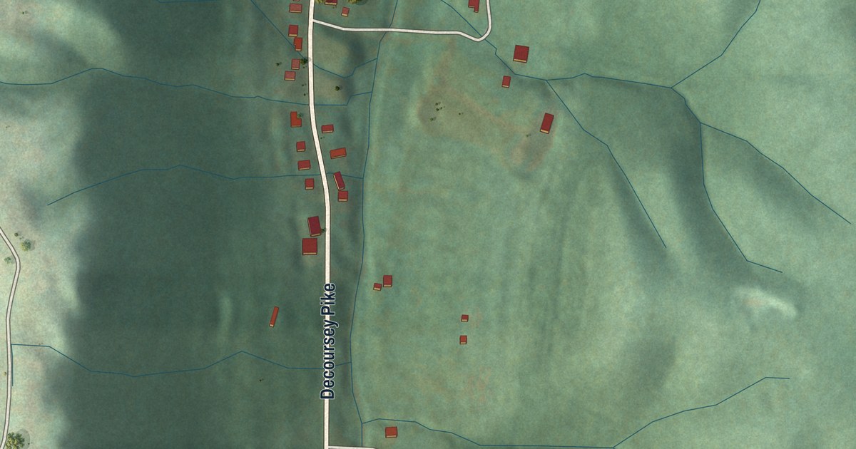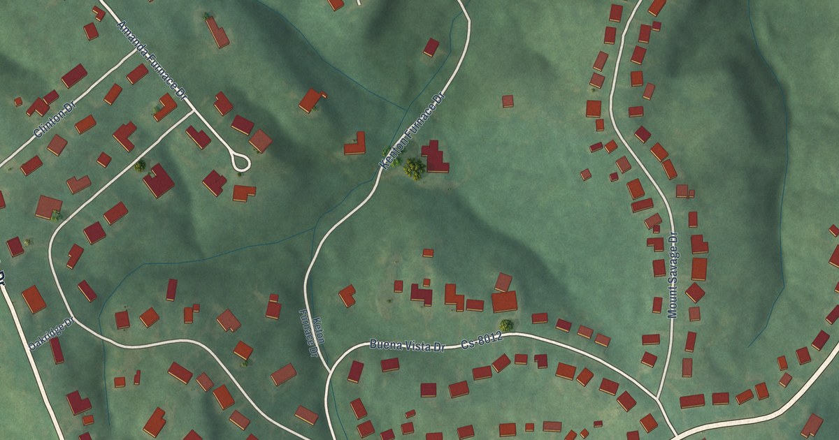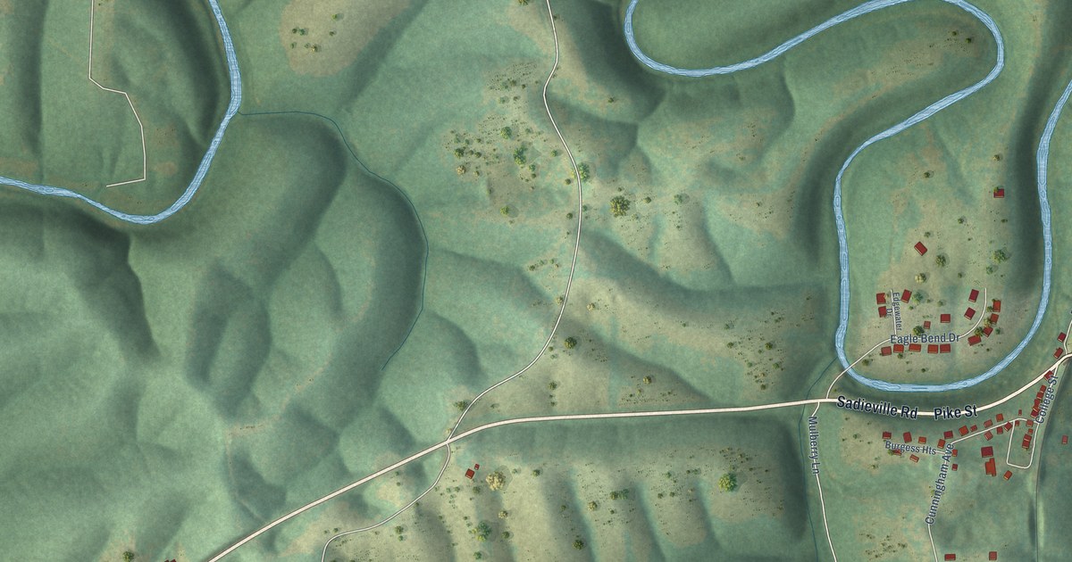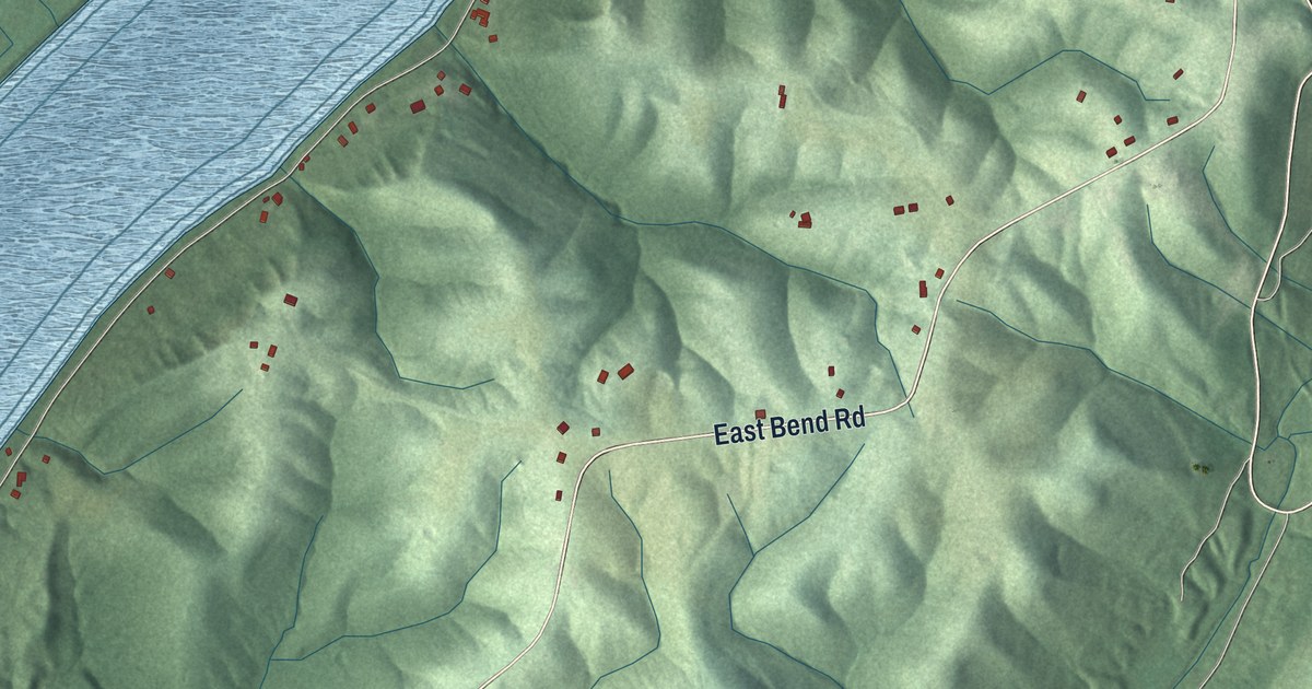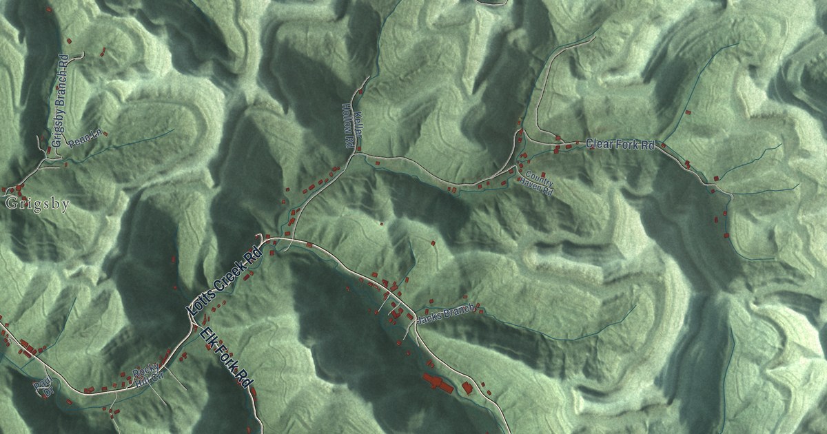
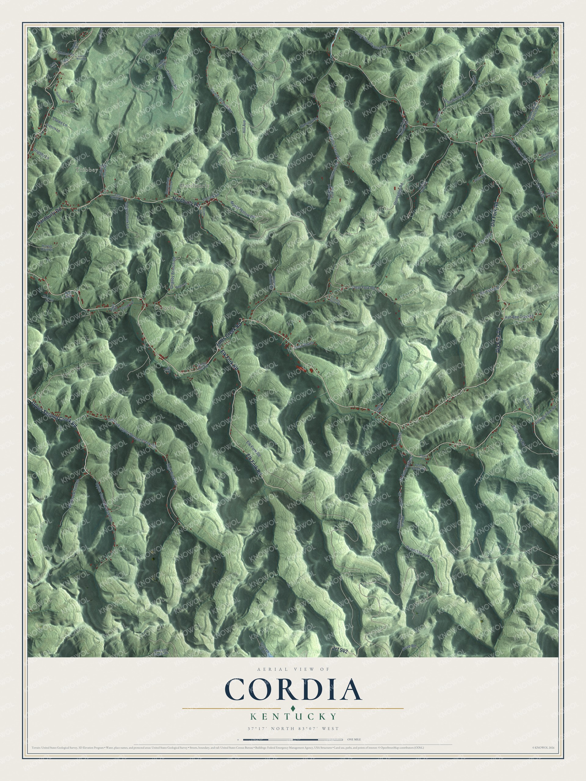
This beautifully detailed map of Cordia, Kentucky was created in 2026 using aerial imagery combined with modern topographical, census, street and landmark data. It’s a one-of-a-kind view of Cordia that combines accurate data with a vintage aesthetic. The map shows every building in its true location, many of the roads carry their names, and the shaded topographic relief shows the shape of the land.
Explore an aerial view of Cordia, Kentucky
On the map you’ll find Tribbey, Hardburly, Grigsby, Jct 942, and Cr-1229, along with Upper Second Creek Road, Dix Fork Road, Lotts Creek Road, Hardburly Road, Elk Fork Road, Dickerson Fork Road, Combs Branch Road, and more. If you look closely you can even find your house accurately drawn in its correct location. Zoom in on the preview to look for yours.
Did You Know?
From Internet Archive: "Mits Dixie May iiai'd, of ititven, Vs., Is visiting relatives at thll place Misses Cordia and Belle Pinion, of Olios, attended church at this plwe Hunlay, Letns hear from Uulnare and Cllno."
Cordia is a community in Knott County.
Take a closer look at the Cordia map
Names on this map
These names are printed on this map.
Places: Tribbey, Hardburly and Grigsby.
Streets and roads: Upper Second Creek Road, Dix Fork Road, Lotts Creek Road, Hardburly Road, Elk Fork Road, Jct 942, Cr-1229, Dickerson Fork Road, Combs Branch Road, Dickson Branch, Honeygap Road, Muddy Hollow Road.
More street names, A to Z
Acup Road, Ash Bee Tree Road, Barnett Drive, Buckeye Ck Road, Chestnut Lane, Chestnut Log Branch, Clear Creek Road, Clear Fork Road, Cockrells Trace Road, Coles Fork, Combs Br Road, Cornett Road, Cornetts Road, Country Haven Road, Cr-1233, Cr-1239, Cr-1243, Cr-1266, Crows Lane, Dickerson Branch, Duane Mountain, Eagle Creek Lane, Eagles Nest Road, Engle Fork Road, Feltner Lane, Fern Creek Road, Francis Lane, Gearhart Road, Gearheart Fork Road, Godsey Hollow Road, Grigsby Branch Road, Grigsby Lane, Groundhog Hollow, Hard Burley Road, Hickory Withe Branch Road, High Rock Road, Hill Avenue, Honeysuckle Lane, Hornet Cove Drive, Jacks Branch, Johnna Haley Drive, John Richie Branch, Keith Lane, Keller Hollow Road, Kelly Fork Road, Knotty Pine Drive, Left Fork-Upper Second Creek Road, Long Horn Branch Road, Lower Field Hollow Road, Lynns Drive, Moose Creek Road, Opec Drive, Patrick Lane, Paul Drive, Penn Lane, Penny Lane, Raccoon Creek Road, Rays Road, Red Bud, Rocky Hill Circle, Salyers Lane, Shacktown Road, Singleton Branch, Stone Drive, Taylor Drive, Tori Lane, Tribbey Camp Road, Tyler Lane, Wildcat Road, Windrock Hollow, Youngs Fork Road.
See it on a wall
The Cordia map as a framed print. Swipe for more.


This beautifully detailed map of Cordia makes an attractive addition to your office, library, or den, and it can even be used to teach children the geography and history of the area. It also makes a great gift for anyone who grew up in Cordia or moved away. When you’re done exploring, click here to get your copy of the Cordia map.