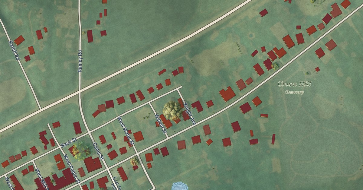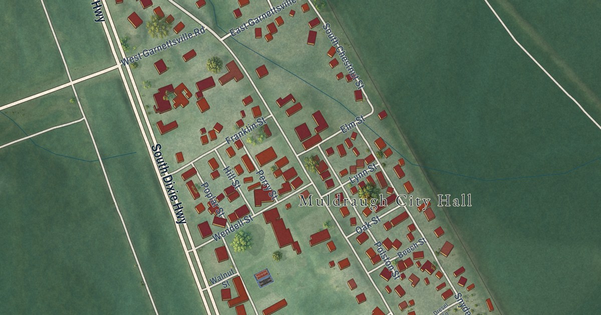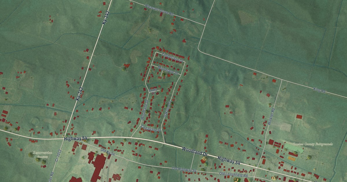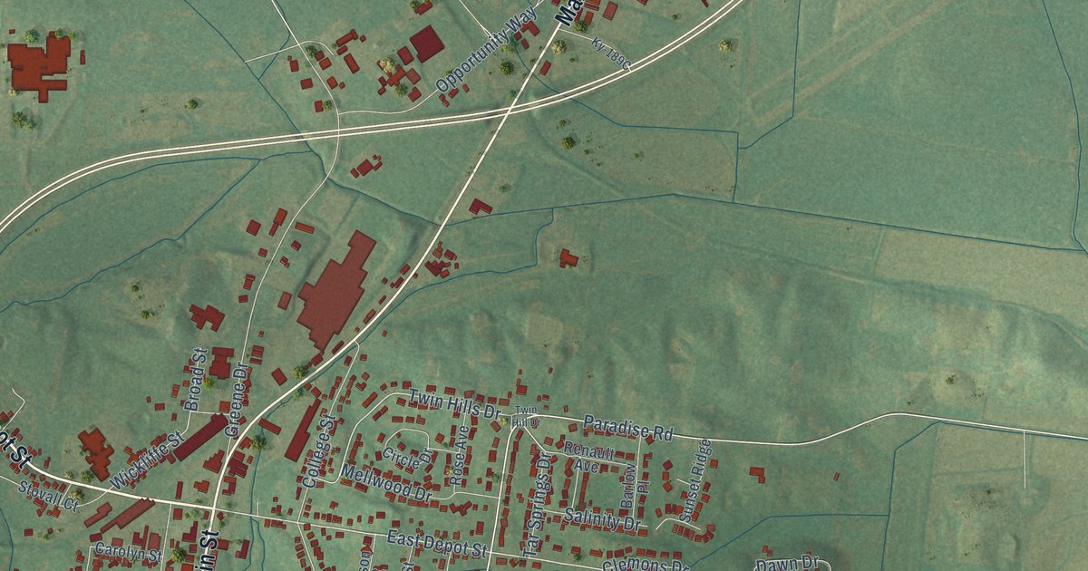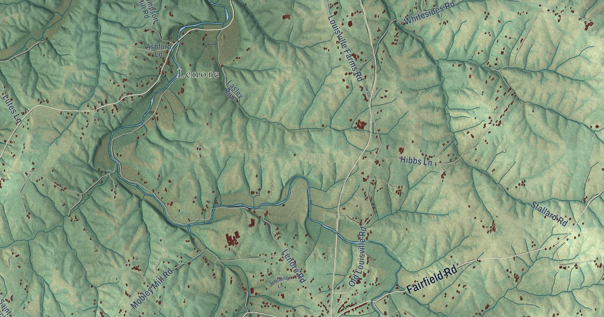
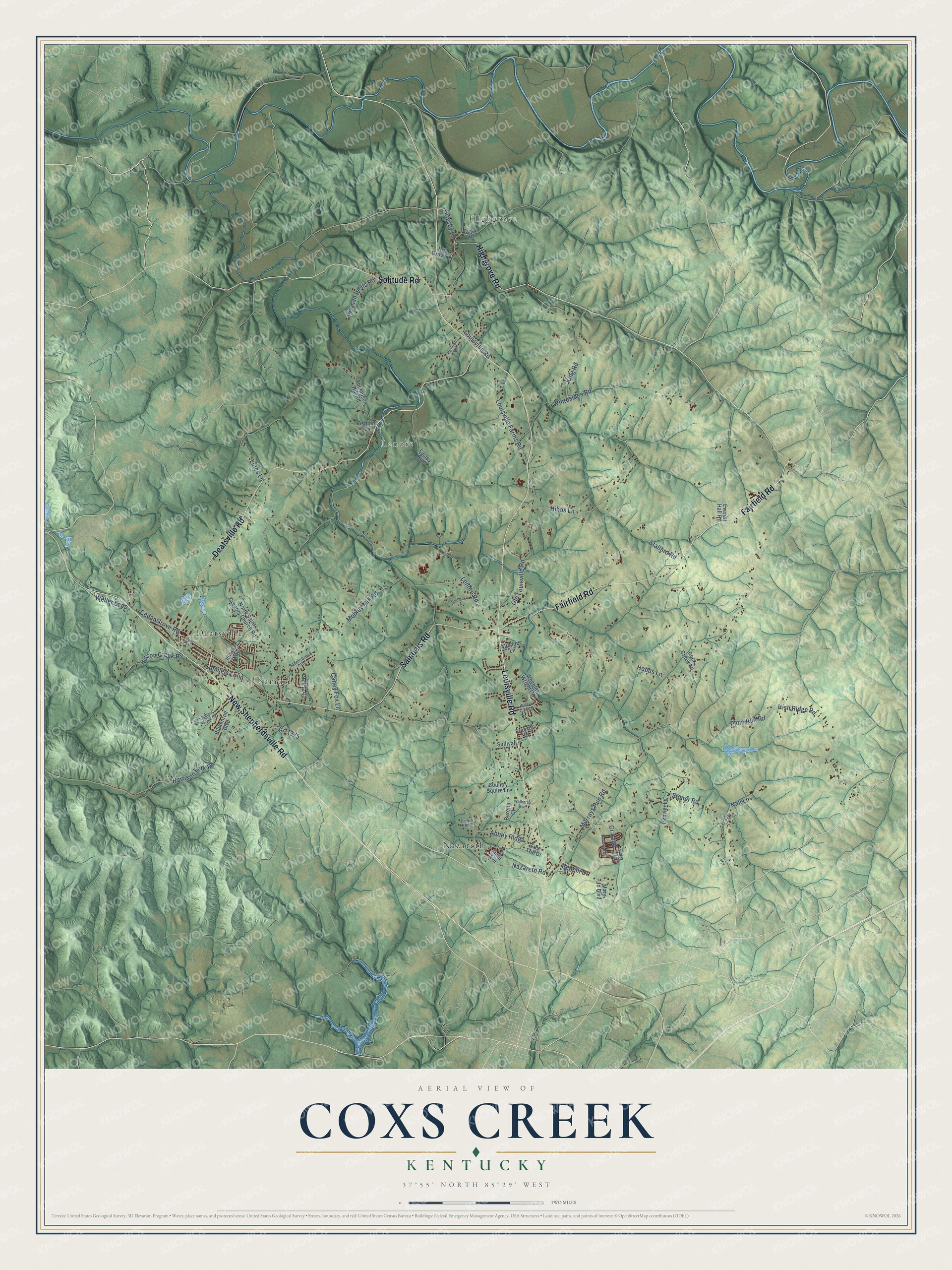
This beautifully detailed map of Coxs Creek, Kentucky was created in 2026 using aerial imagery combined with modern topographical, census, street and landmark data. It’s a one-of-a-kind view of Coxs Creek that combines accurate data with a vintage aesthetic. The map shows every building in its true location, many of the roads carry their names, and the shaded topographic relief shows the shape of the land.
Explore an aerial view of Coxs Creek, Kentucky
On the map you’ll find Highgrove, Nazareth, Lenore, Deatsville, and Samuels, along with New Shepherdsville Road, Deatsville Road, Fairfield Road, Louisville Road, Samuels Road, Highgrove Road, Solitude Road, and more. If you look closely you can even find your house accurately drawn in its correct location. Zoom in on the preview to look for yours.
Take a closer look at the Coxs Creek map
Names on this map
These names are printed on this map.
Places: Highgrove, Nazareth, Lenore, Deatsville and Samuels.
Streets and roads: New Shepherdsville Road, Deatsville Road, Fairfield Road, Louisville Road, Samuels Road, Highgrove Road, Solitude Road, Lenore Road, Plum Run Road, Murrays Run Road, Mobley Mill Road, Whitesides Road.
More street names, A to Z
Abbey Ridge, Allender Lane, Antlers Trace Drive, Ashford Lane, Bare Street, Benelli Drive, Beretta Court, Berman Wells Road, Blakenrod Boulevard, Caney Fox Lane, Cedar Grove Road, Chapel Hill Court, Cook Road, Country Squire Lane, Cr-1077, Cr-1300, Cr-1375, Cr-1476, Everett Hall Road, Frances Drive, Grigsby Lane, Harrison Fork Road, Hialeah Drive, Hibbs Lane, High Grove Lane, Hobbs Lane, Illinois Way, Irish Ridge Road, King Road, Lasley Run, Louisville Farms Road, Lutes Lane, Main Avenue, Mary Jo Boulevard, Nall Lane, Nazareth Road, North Saint Gregory Church Road, Old Louisville Road, Peavler Lane, Redwood Drive, Rock Creek Lane, Saddlebrook Drive, Samuels Loop, Spalding Lane, Stallard Road, Stoner Road, Sullivan Lane, Thompson Hill Road, Tree Top Drive, Tulip Drive, Walnut Creek Drive, Weller Loop, Wetherby Avenue, Wheeler Wright Road, Wilson Creek Road.
See it on a wall
The Coxs Creek map as a framed print. Swipe for more.


This beautifully detailed map of Coxs Creek makes an attractive addition to your office, library, or den, and it can even be used to teach children the geography and history of the area. It also makes a great gift for someone who left Coxs Creek and still calls it home. When you’re done exploring, click here to get your copy of the Coxs Creek map.