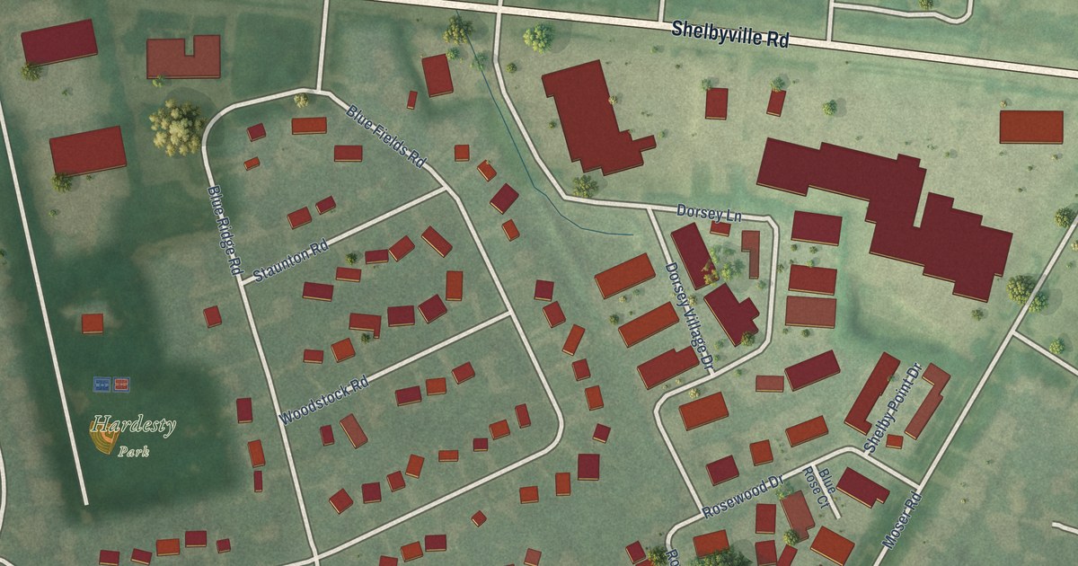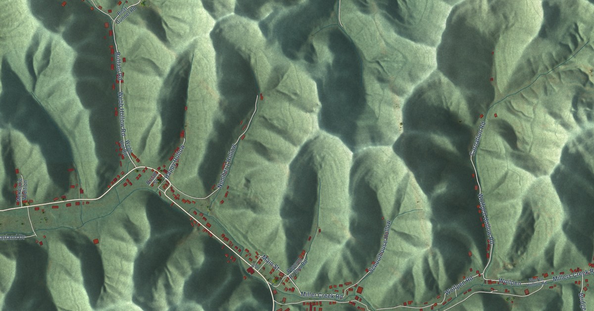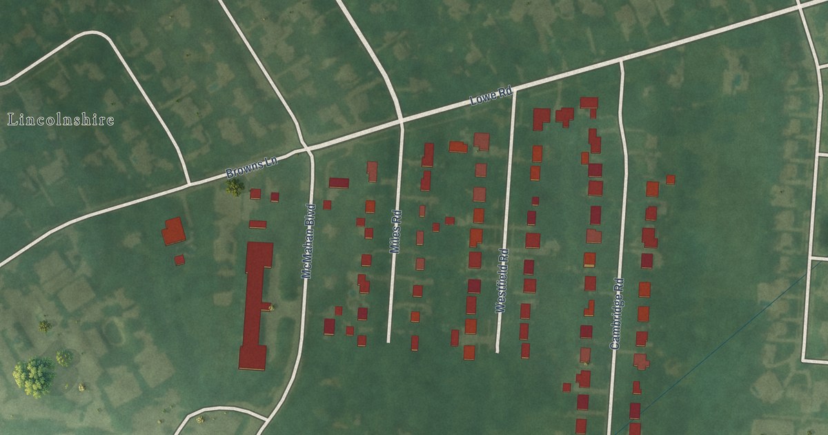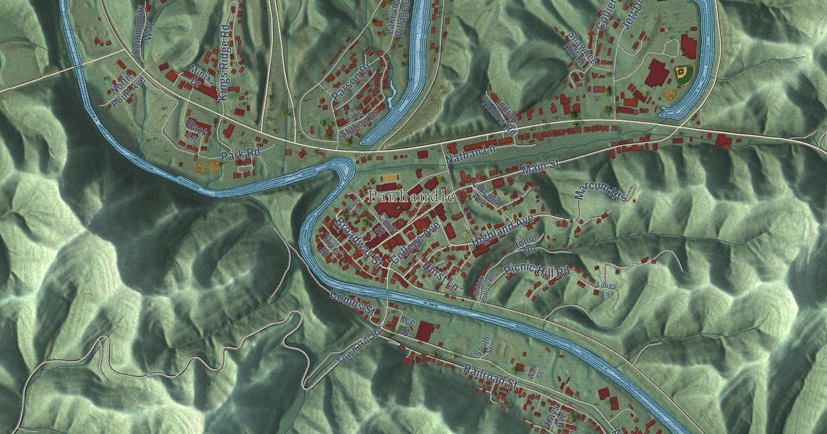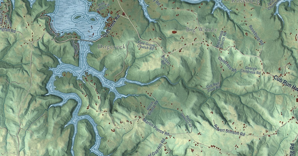
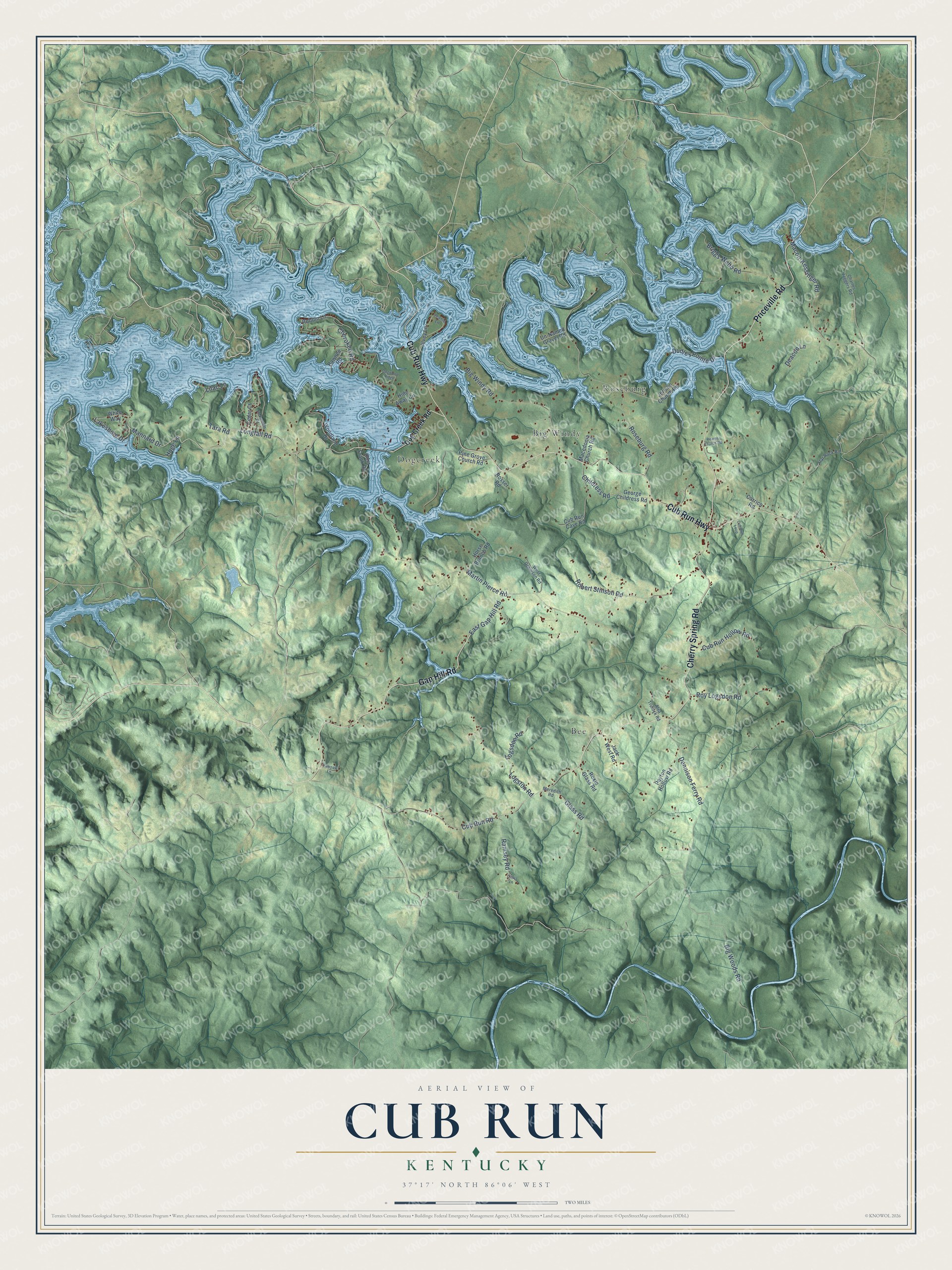
This beautifully detailed map of Cub Run, Kentucky was created in 2026 using aerial imagery combined with modern topographical, census, street and landmark data. It’s a one-of-a-kind view of Cub Run that combines accurate data with a vintage aesthetic. The map shows every building in its true location, many of the roads carry their names, and the shaded topographic relief shows the shape of the land.
Explore an aerial view of Cub Run, Kentucky
On the map you’ll find Bee, Big Windy, Roseburg, and Dogcreek, along with Gap Hill Road, Cub Run Highway, Priceville Road, Cherry Spring Road, Longfall Road, Mannard Drive, Lakeshore Drive, Cherokee Road, and more. If you look closely you can even find your house accurately drawn in its correct location. Zoom in on the preview to look for yours.
Take a closer look at the Cub Run map
Names on this map
These names are printed on this map.
Places: Bee, Big Windy, Roseburg and Dogcreek.
Streets and roads: Gap Hill Road, Cub Run Highway, Priceville Road, Cherry Spring Road, Longfall Road, Mannard Drive, Lakeshore Drive, Cherokee Road, East Gap Hill Road, Martin Pierce Road, Cub Run Road, Logston Road.
More street names, A to Z
Alva Trulock Road, Alvey Lane, Big Windy Road, Big Woods Road, Briggs Webb Road, Carrico Road, Cedar Court, Charles Jaggers Road, Childress Road, Citrus Lane, Cub Run Cave Road, Cub Run Hollow Road, Cub Run Loop, Deacon Lane, Dennison Ferry Road, Dog Creek Road, Dogwood Ridge, Dora Frank Road, Dudley Pointe Drive, Ed Sanders Road, Flat Rock Road, George Childress Road, Glass Road, Hide Away Circle, Hoge Lane, Horse Branch Road, Jack West Road, Jeanie Lane, Jericho Church Road, Lilac Lane, Logsdon Road, Macedonia Church Road, Macon-Kessinger Road, Meredith Road, Pawnee Road, Pawpaw Lane, Payton Hollow Road, Pine Grove Church Road, Ramsey Road, Reams Church Road, Robbin Lane, Robert Stinson Road, Roseburg Road, Rosser Road, Roxie Glass Road, Roy Logsdon Road, Tara Road, Un-Named Gravel Road, West Dennison Road, White Way, Woodland Drive.
See it on a wall
The Cub Run map as a framed print. Swipe for more.


This beautifully detailed map of Cub Run makes an attractive addition to your office, library, or den, and it can even be used to teach children the geography and history of the area. It also makes a great gift for anyone with Cub Run roots. When you’re done exploring, click here to get your copy of the Cub Run map.