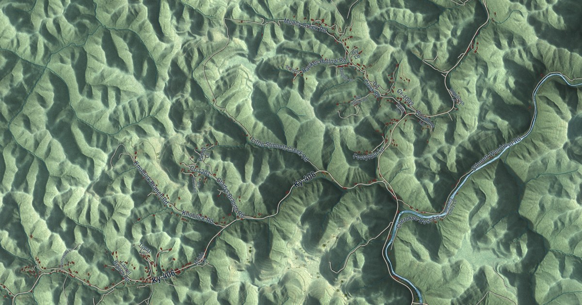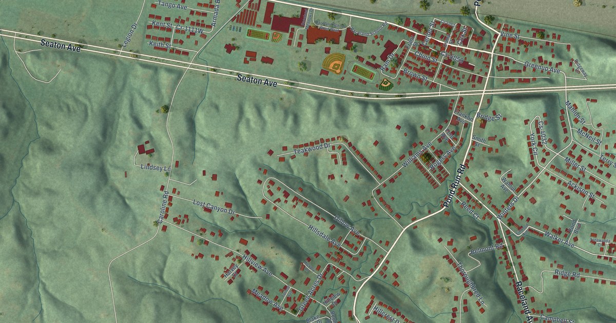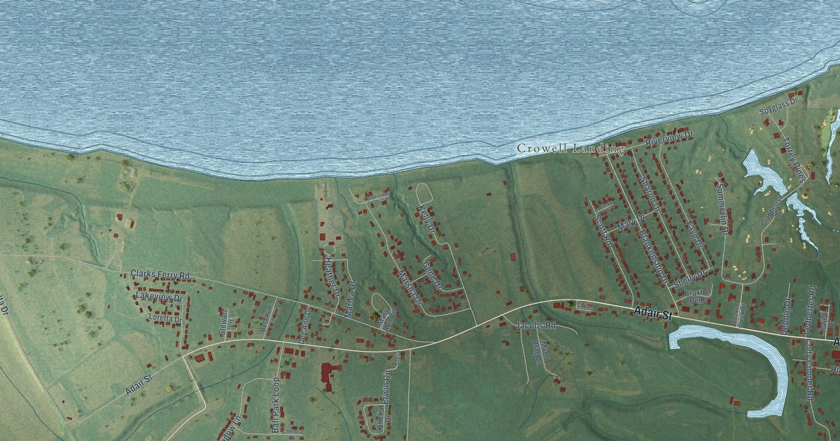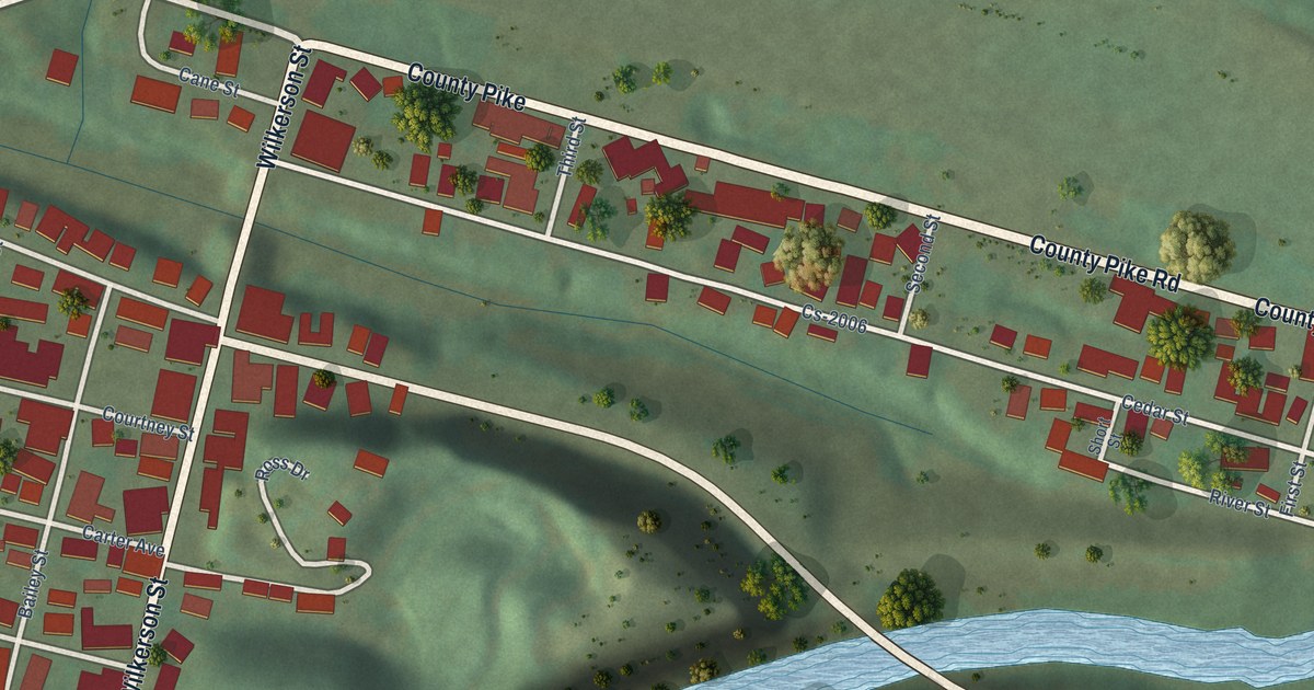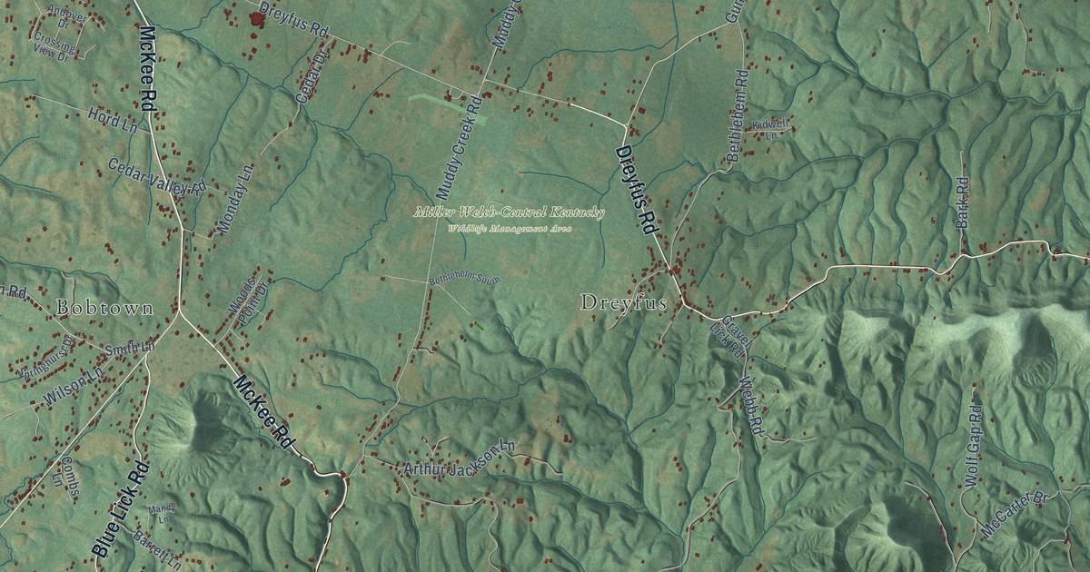
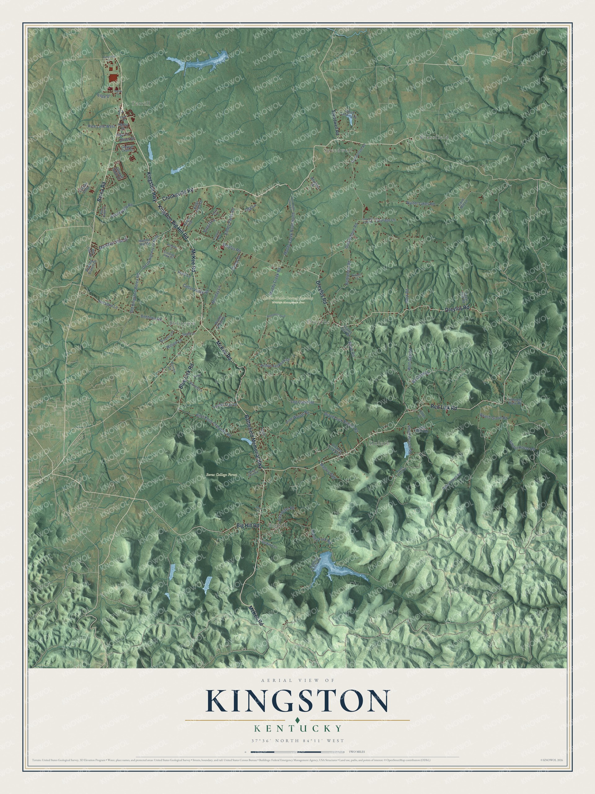
This beautifully detailed map of Kingston, Kentucky was created in 2026 using aerial imagery combined with modern topographical, census, street and landmark data. It’s a one-of-a-kind view of Kingston that combines accurate data with a vintage aesthetic. The map shows every building in its true location, many of the roads carry their names, and the shaded topographic relief shows the shape of the land.
Explore an aerial view of Kingston, Kentucky
On the map you’ll find Berea College Forest, Miller Welch-Central Kentucky Wildlife Management Area, Brassfield, Terrill, Duluth, Bobtown, Speedwell, Bighill, and Dreyfus, along with McKee Road, Berea Road, Kingston Highway, and more. If you look closely you can even find your house accurately drawn in its correct location. Zoom in on the preview to look for yours.
Did You Know?
From Internet Archive: "Ralph and Caleb settled near each other on Kingston Creek in Bourbon County."
Kingston is a community in Madison County.
Take a closer look at the Kingston map
Names on this map
These names are printed on this map.
Places: Berea College Forest, Miller Welch-Central Kentucky Wildlife Management Area, Brassfield, Terrill, Duluth, Bobtown, Speedwell, Bighill and Dreyfus.
Streets and roads: McKee Road, Berea Road, Kingston Highway, Battlefield Memorial Highway, Crooksville Road, Dreyfus Road, Red Lick Road, Big Hill Road, Blue Lick Road, Kingston Big Hill Road, Floyd Branch Road, Old Kingston-Berea Road.
More street names, A to Z
Alexander Road, Andover Drive, Arthur Jackson Lane, Bark Road, Barrett Lane, Beach Grove Road, Bethlehelm South, Bethlehem Road, Blue Ridge Drive, Bobtown Road, Breezy Lane, Carrs Mill Lane, Cedar Cliff Flats Road, Cedar Cliff Road, Cedar Drive, Cedar Valley Road, Clark Drive, Combs Lane, Courage Lane, Crossing View Drive, Duke Powell Road, Duncannon Lane, Embry Parks Road, Ethel Lane, Farm Lane, Floyds Branch Road, Forest Trail Drive, General Cruft Drive, General Smith Drive, Gravel Lick Branch Road, Gravel Lick Road, Gum Bottom Road, Gumbottom Road, Hamton Hall Drive, Herndon Lane, Heron Landing Place, Hord Lane, Horse Cove Road, Hurley Street, Jackson Lane, Kenneth Rose Road, Kenzie Court, Kidwell Lane, Kingston Acres, Kings Trace Drive, Kings Trce, Liza Allen Road, Log Cabin Road, Mallory Spg, Mandy Lane, McCarter Br, Monday Lane, Mountain View Drive, Muddy Creek Road, Muddy Creek Road North, North Muddy Creek Road, Ogg Lane, Old Red Lick No 2, Old US Highway 25 North, Oliver Drive, Owsley Fork Road, Page Drive, Parker Lane, Pilot Knob Cemetary Road, Pine Woods Road, Pin Oak Drive, Radford Hollow Road, Rhodella Drive, Rice Lane West, Rose Lane, School House Road, Skyline Drive, Smith Lane, Speedwell Road, Springhurst Drive, Trillium Loop, Walter Lakes Road, Webb Road, Wilson Lane, Winding Branch Drive, Wolf Gap Road, Woods Point Drive.
See it on a wall
The Kingston map as a framed print. Swipe for more.


This beautifully detailed map of Kingston makes an attractive addition to your office, library, or den, and it can even be used to teach children the geography and history of the area. It also makes a great gift for someone who left Kingston and still calls it home. When you’re done exploring, click here to get your copy of the Kingston map.