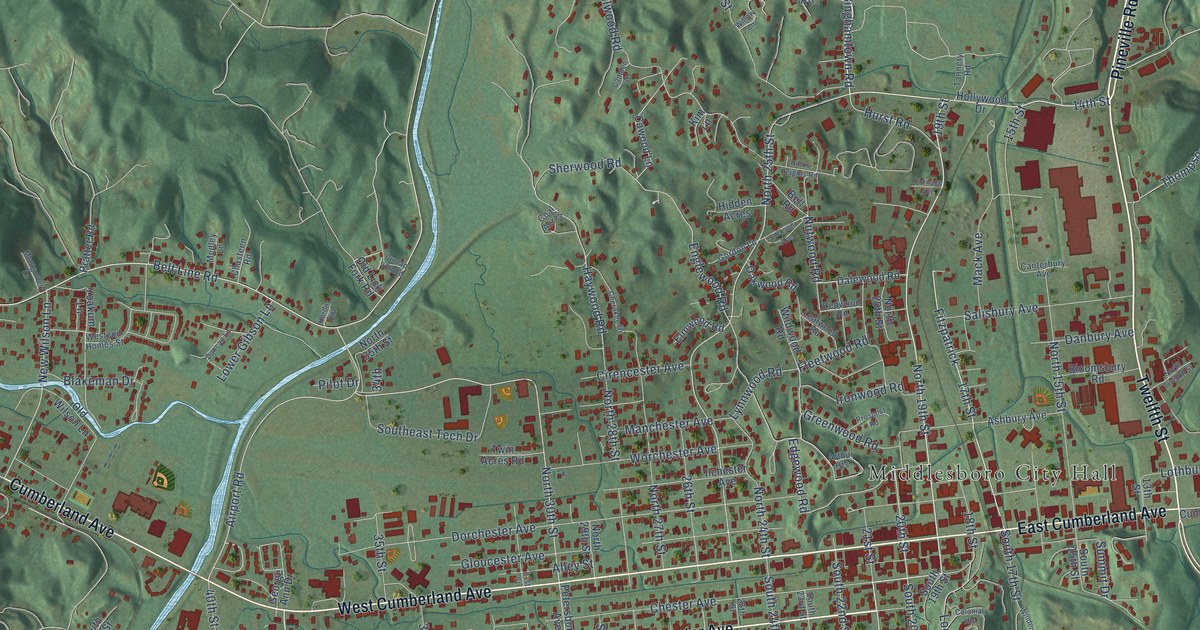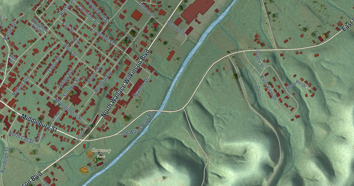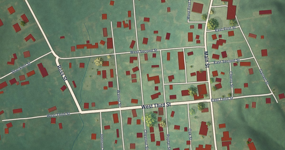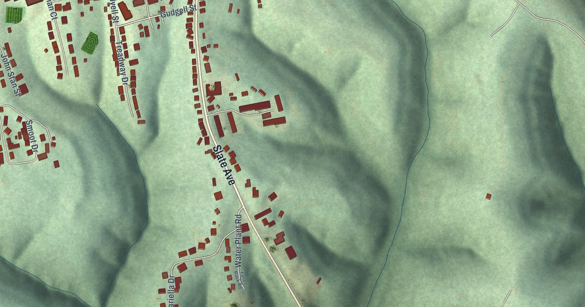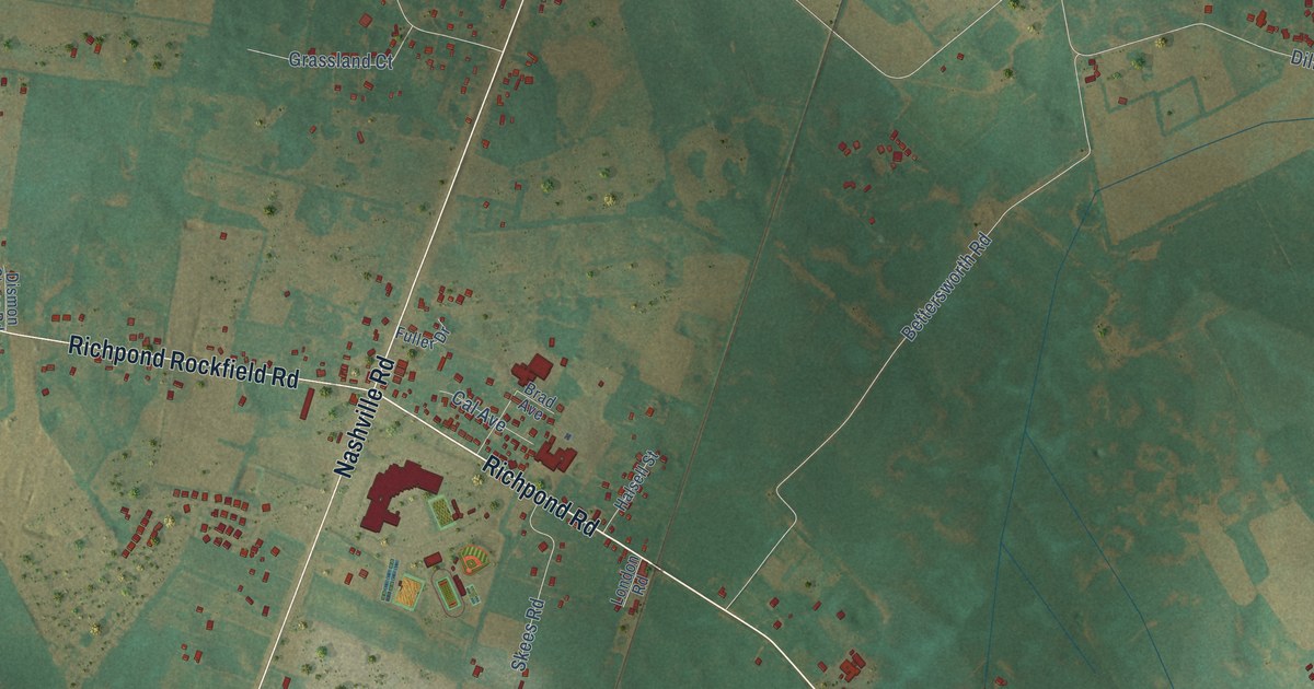
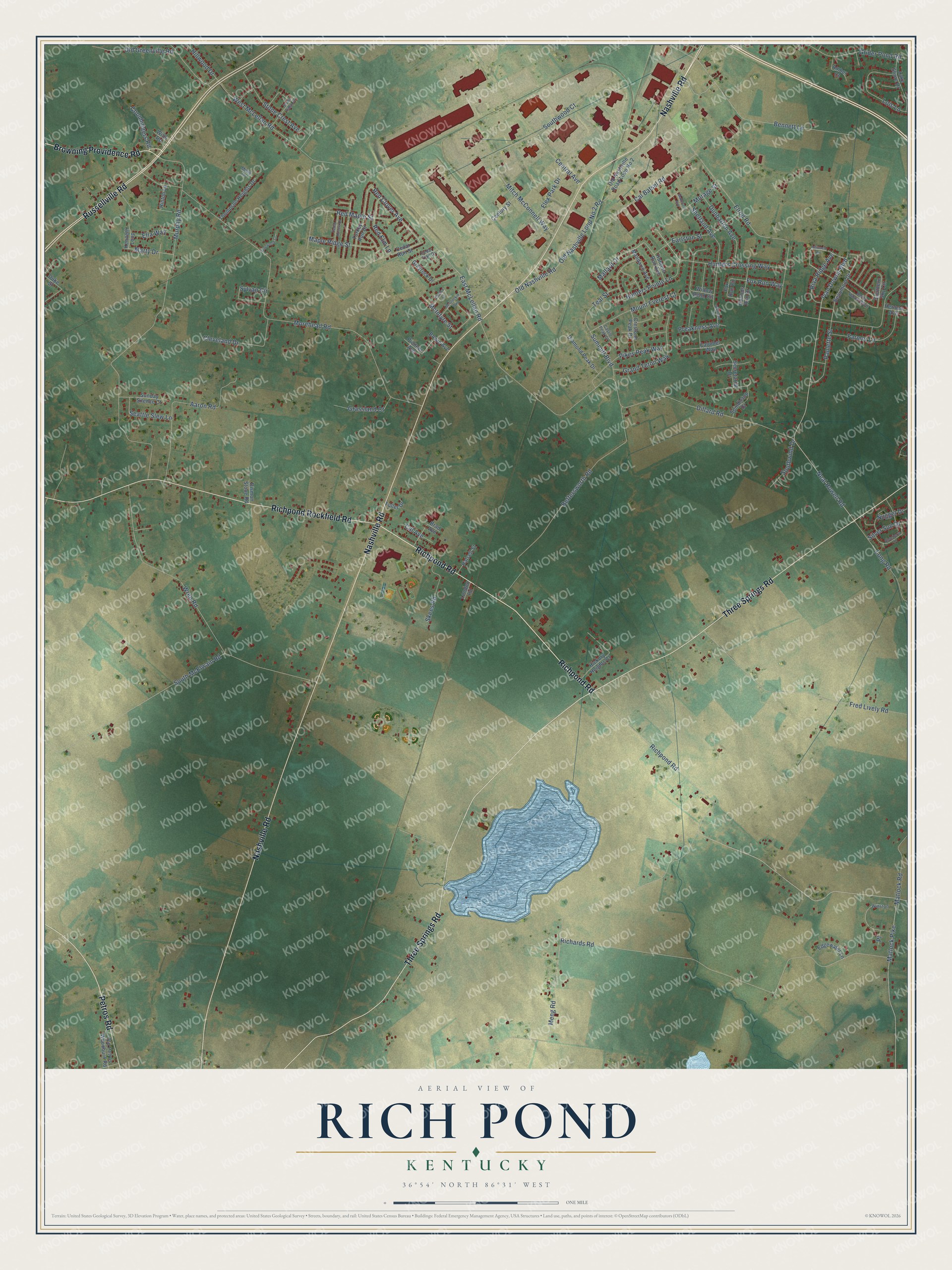
This beautifully detailed map of Rich Pond, Kentucky was created in 2026 using aerial imagery combined with modern topographical, census, street and landmark data. It’s a one-of-a-kind view of Rich Pond that combines accurate data with a vintage aesthetic. The map shows every building in its true location, many of the roads carry their names, and the shaded topographic relief shows the shape of the land.
Explore an aerial view of Rich Pond, Kentucky
On the map you’ll find Richpond Road, Browning Providence Road, Nashville Road, Three Springs Road, Russellville Road, Richpond Rockfield Road, Petros Road, Neal Howell Road, Ivan Downs Boulevard, Mallard Drive, Hunters Pointe Lane, Red Clover Avenue, and more. If you look closely you can even find your house accurately drawn in its correct location. Zoom in on the preview to look for yours.
Did You Know?
From Internet Archive: "The other railroad stations are: Bristow, Smith's Grove, Oakland, Rich Pond, Woodburn, Memphis Junction, and Moclcfield, at several of which are thriving villages."
Rich Pond is a community in Warren County.
Take a closer look at the Rich Pond map
Names on this map
These names are printed on this map.
Streets and roads: Richpond Road, Browning Providence Road, Nashville Road, Three Springs Road, Russellville Road, Richpond Rockfield Road, Petros Road, Neal Howell Road, Ivan Downs Boulevard, Mallard Drive, Hunters Pointe Lane, Red Clover Avenue.
More street names, A to Z
Aaron Road, Affirmed Circle, Amber Court, Beaumont Drive, Belle Haven Boulevard, Bennett Lane, Bettersworth Road, Bowie Avenue, Brad Avenue, Cal Avenue, Cal Batsel Road, Calumet Way, Castle Peak Court, Cedar Hollow Drive, Cedar Run Street, Cedar Trail Drive, Central Avenue, Century Street, Chelsa Court, Cleveland Drive, Coonhunters Road, Crestone Peak Drive, Diamond Peak Drive, Dillard Road, Dismon Stone Road, Duke Street, Dunbarton Avenue, Earlston Street, East McLellan Road, Edgewater Lane, Ella Way, Elrod Road, Farmer Lane, Flex Park Drive, Fox Run Circle, Fox Run Way, Fred Lively Road, Fuller Drive, Grand Teton Way, Grassland Court, Greyrock Drive, Grider Pond Road, Halsell Street, Herman Avenue, Hickory Heights Court, Hillwood Drive, Hinton Lane, Hounds Run Drive, Hunters Crossing Way, Hunters Run Avenue, Kenneth Loop, Lake Shore Drive, Lois Lane, London Road, Long Road, Makenzie Avenue, Mandarin Avenue, Maple Ridge Street, Marty Drive, Matlock Pike, Matlock Road, McGlockin Way, McIntyre Street, Meng Road, Misty Lane, Mitch McConnell Way, Morage Street, Morehead Road, Mount Everest Court, Murphy Road, Nugget Drive, Old Greenville Road, Old Nashville Loop No 2 Road, Old Nashville Road, Old Nashville Road Loop No 2, Old Petros Woodburn Road, Paulette Street, Pikes Peak Way, Pinewood Court, Pioneer Avenue, Place, Preakness Avenue, Red Elm Lane, Red Maple Street, Richards Road, Riva Ridge Avenue, Roseberry Circle, Seattle Slew Lane, Secretariat Drive, Shetland Avenue, Shetland Drive, Silver Sun Drive, Skees Road, Southern Sky Circle, South McElwain Road, Southwind Drive, Southwood Court, Spindletop Drive, Stone Crest Avenue, Stone Ridge Street, Summitt Boulevard, Sunday Silence Court, Sylvan Circle, Teal Street, Thompson Heights Drive, Turkey Run Drive, West McLellan Road, Willow Bend Circle, Wills Road, Winston, Wren Road.
See it on a wall
The Rich Pond map as a framed print. Swipe for more.


This beautifully detailed map of Rich Pond makes an attractive addition to your office, library, or den, and it can even be used to teach children the geography and history of the area. It also makes a great gift for someone who left Rich Pond and still calls it home. When you’re done exploring, click here to get your copy of the Rich Pond map.