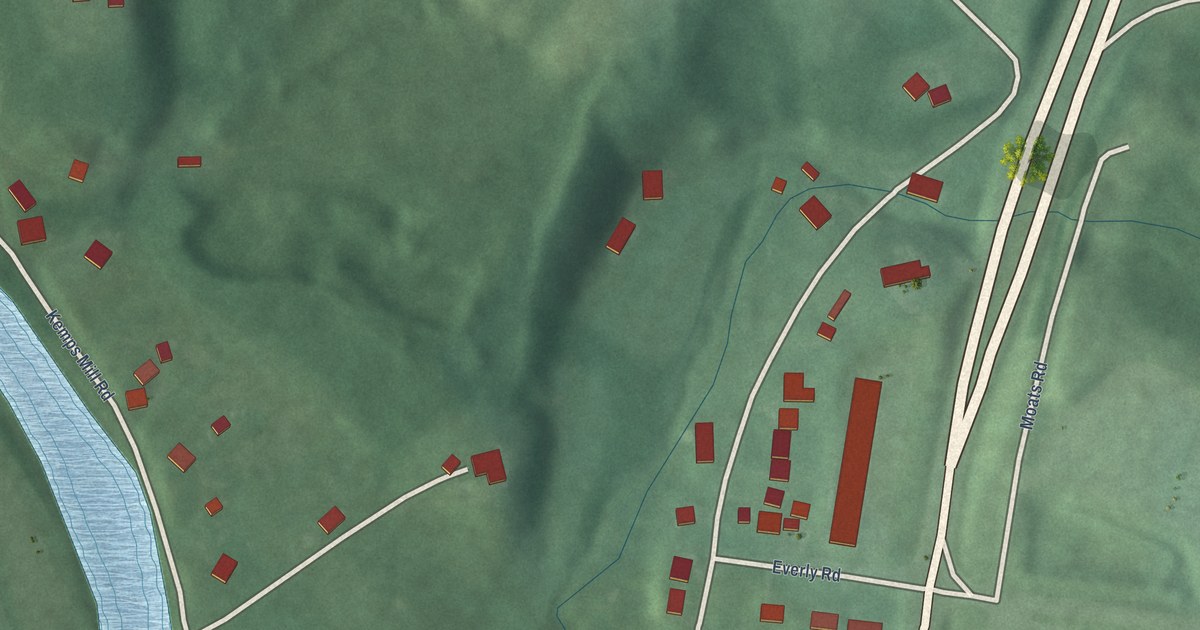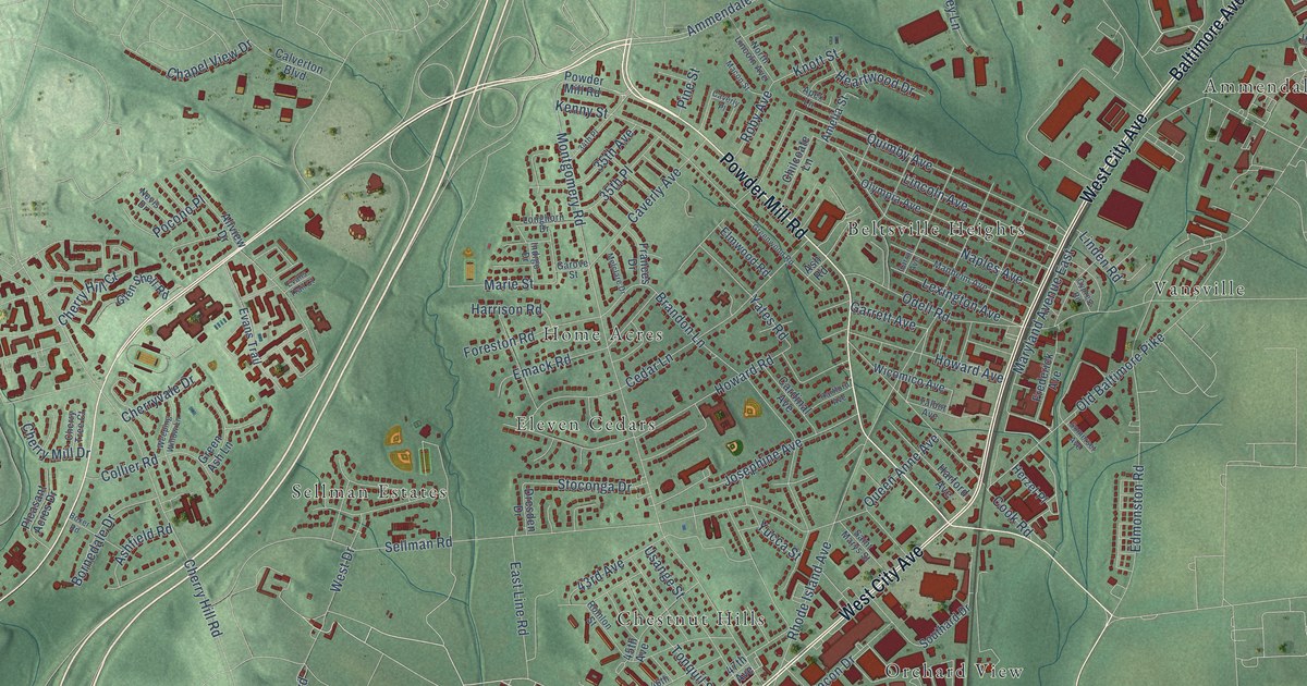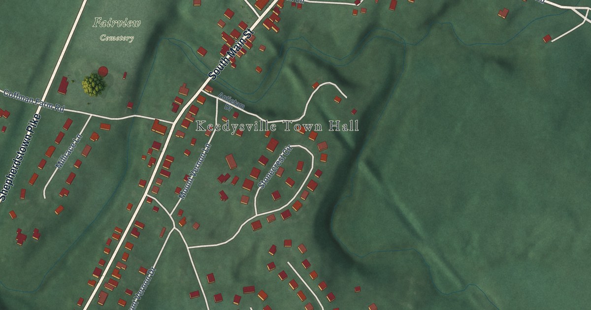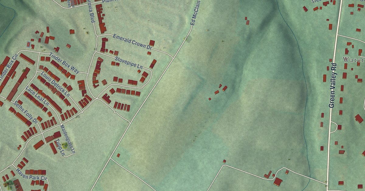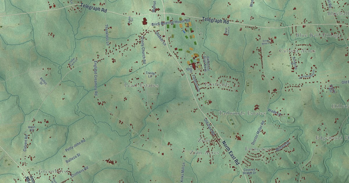
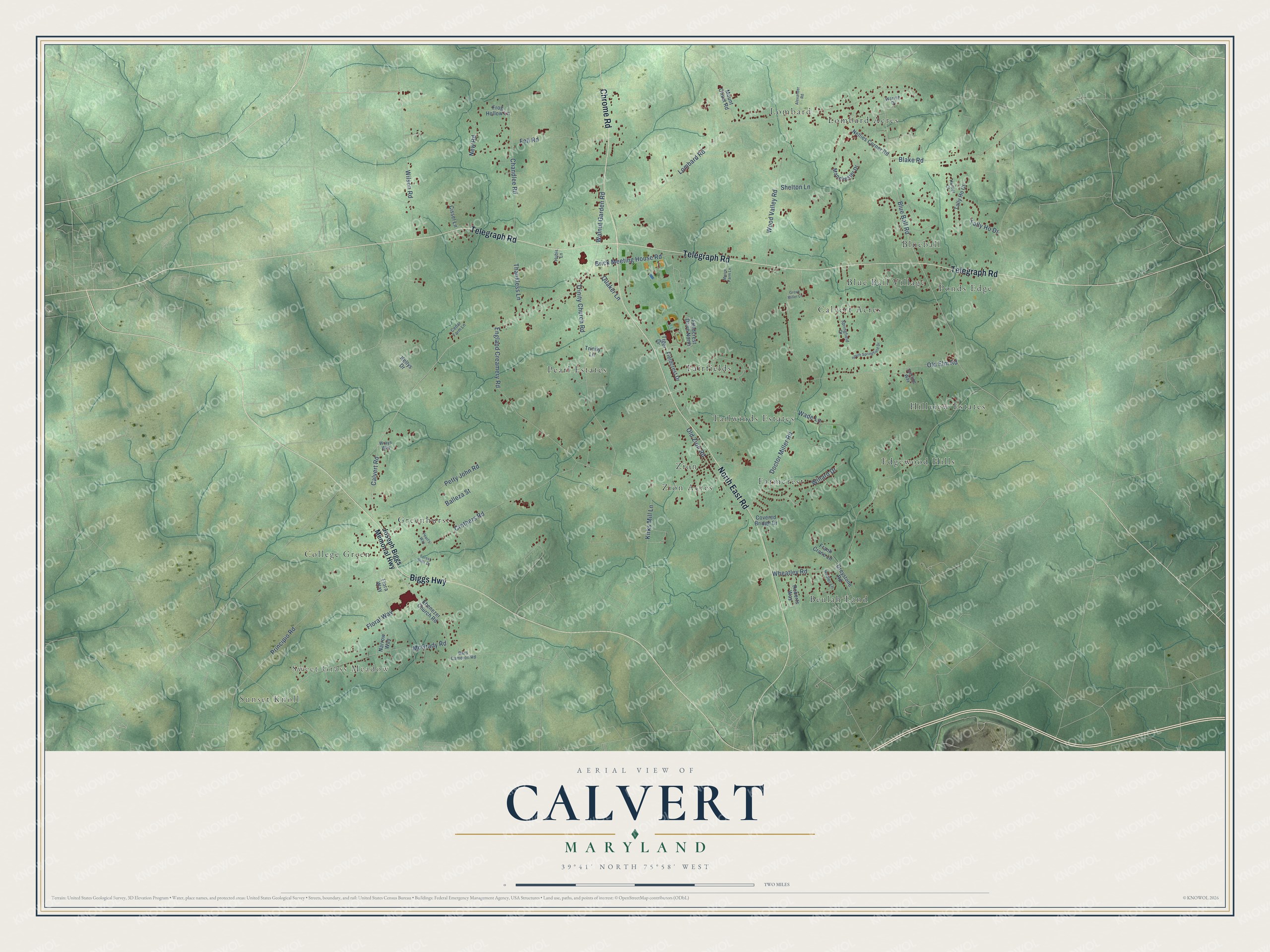
This beautifully detailed map of Calvert, Maryland was created in 2026 using aerial imagery combined with modern topographical, census, street and landmark data. It’s a one-of-a-kind view of Calvert that combines accurate data with a vintage aesthetic. The map shows every building in its true location, many of the roads carry their names, and the shaded topographic relief shows the shape of the land.
Explore an aerial view of Calvert, Maryland
On the map you’ll find Sunset Knoll, Sweet Grass Meadow, Lombard Acres, Zion, Hillview Estates, Greenhurst, Blueball, Beulah Land, Fairfields, Pearl Estates, Calvert Acres, Edgewood Hills, and more. If you look closely you can even find your house accurately drawn in its correct location. Zoom in on the preview to look for yours.
Take a closer look at the Calvert map
Names on this map
These names are printed on this map.
Places: Sunset Knoll, Sweet Grass Meadow, Lombard Acres, Zion, Hillview Estates, Greenhurst, Blueball, Beulah Land, Fairfields, Pearl Estates, Calvert Acres, Edgewood Hills, Farmcrest, Tailwinds Estates, College Green, Ponds Edge, Blue Ball Village, Lombard and Zion Acres.
Streets and roads: Chrome Road, Telegraph Road, North East Road, Biggs Highway, Calvert Road, Blue Ball Road, England Creamery Road, Lombard Road, Wheatley Road, Doctor Miller Road, Trinity Church Road, Crothers Road.
More street names, A to Z
Alexander Road, Balleza Street, Bard Cameron Road, Blake Road, Brick Meeting House Road, Cedar Farm Lane, Chandlee Road, Cissel Lane, Covered Bridge Drive, Ebenezer Church Road, Fell Road, Fieldcrest Drive, Fieldcrest Drive North, Floral Way, Flora Way, Forest Hills Drive, Frank Crane Lane, Frog Hollow Lane, Greystone Road, Grove Miller Lane, Hubis Lane, Hudler Lane, Hunter Court, Joseph Biggs Memorial Highway, Kellys Drive, Kirks Mill Lane, Manchester Drive, McGrady Road, Moore Farm Lane, Mount Olivet Road, Narrow Way, Nellies Corner Road, New Road, Old Elm Road, Old Zion Road, Pearl's Way, Petty John Road, Principio Road, Quaker Lane, Roberts Way, Shelton Lane, South Springfield Drive, Springfield Drive, Sterling Way, Tally Ho Court, Tally Ho Drive, Thankless Lane, Tiger Drive, Trinity Lane, Wade Lane, Walnut Garden Road, Warren Drive, Willard Drive, Wilson Road, Wood Valley Road, Wrays Way.
See it on a wall
The Calvert map as a framed print. Swipe for more.


This beautifully detailed map of Calvert makes an attractive addition to your office, library, or den, and it can even be used to teach children the geography and history of the area. It also makes a great gift for someone who left Calvert and still calls it home. When you’re done exploring, click here to get your copy of the Calvert map.