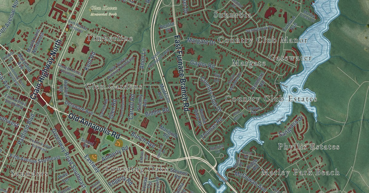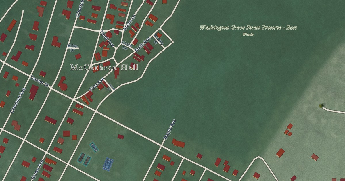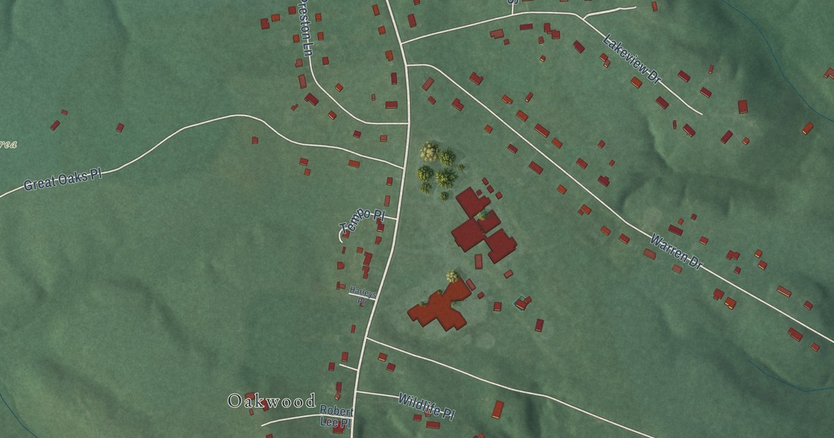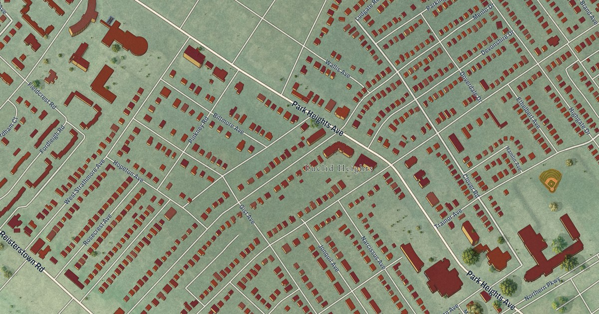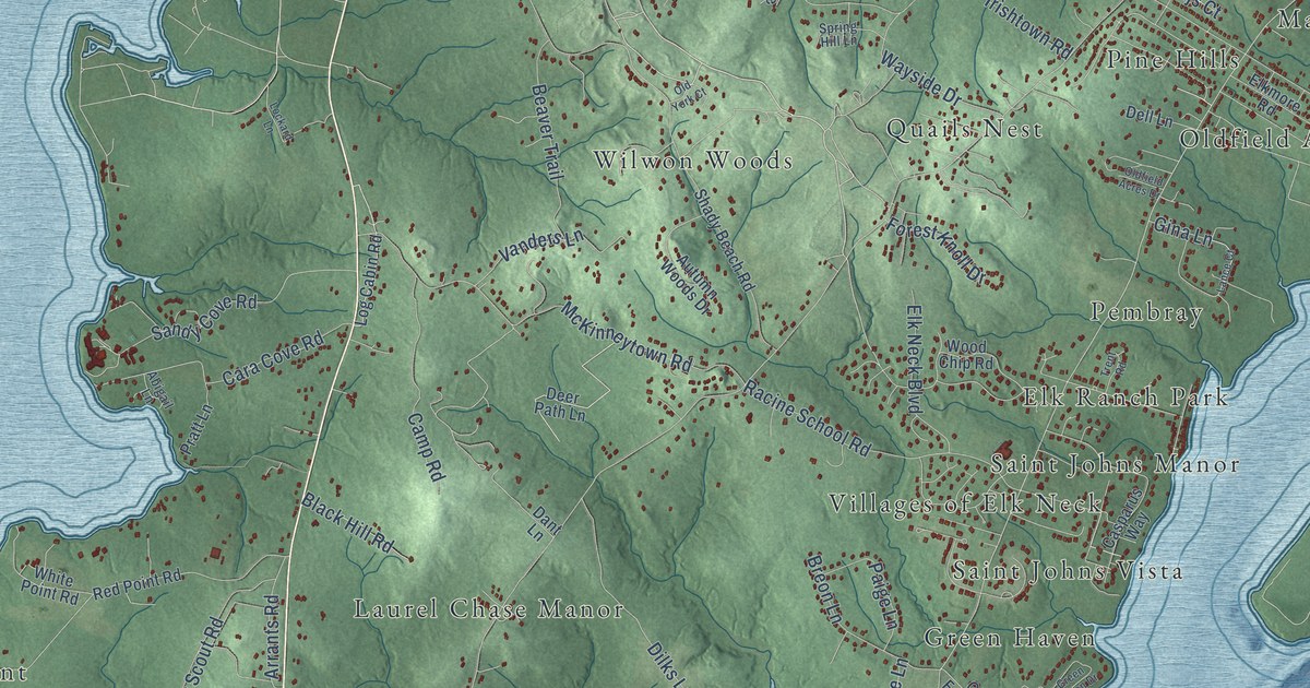
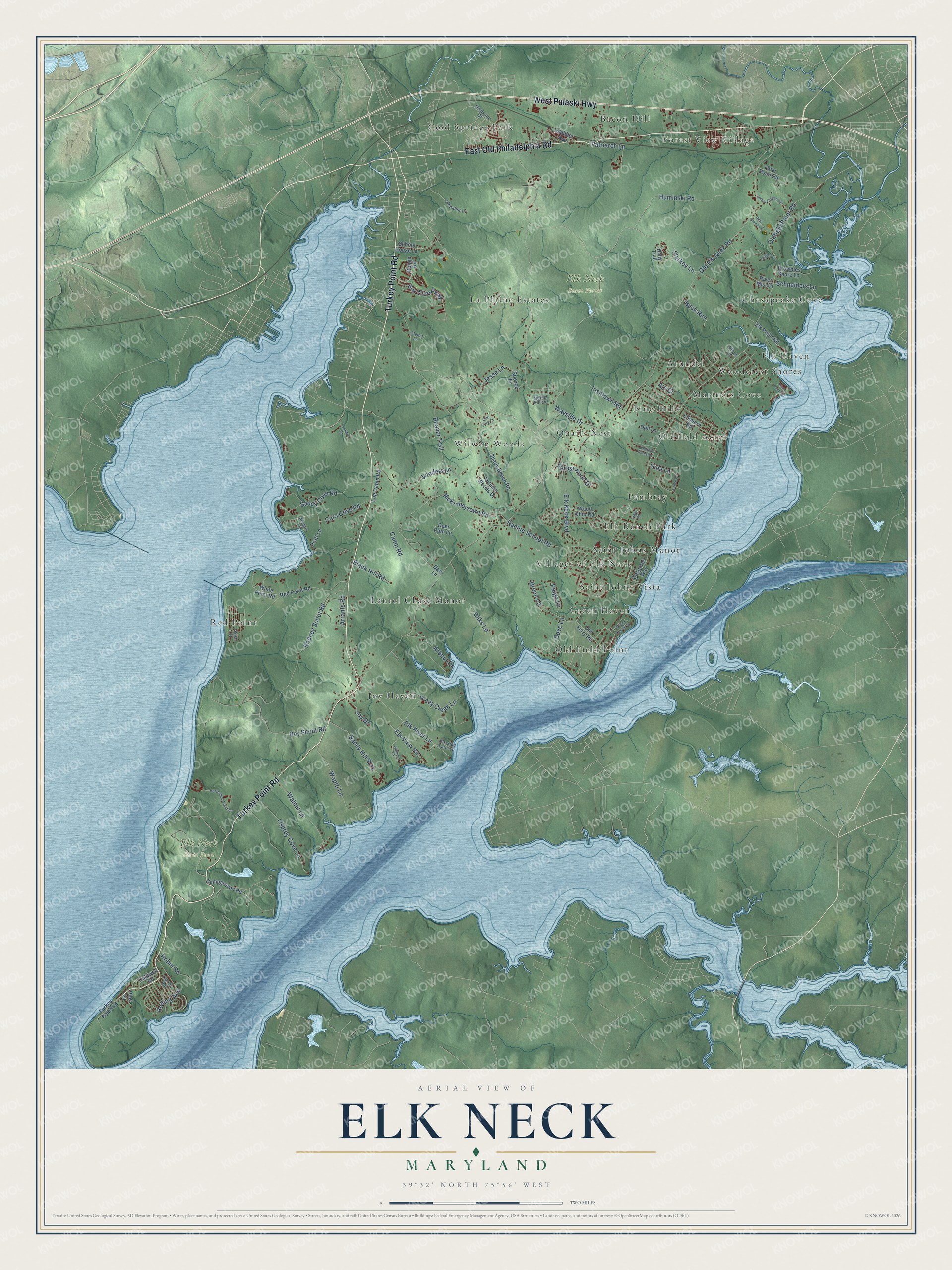
This beautifully detailed map of Elk Neck, Maryland was created in 2026 using aerial imagery combined with modern topographical, census, street and landmark data. It’s a one-of-a-kind view of Elk Neck that combines accurate data with a vintage aesthetic. The map shows every building in its true location, many of the roads carry their names, and the shaded topographic relief shows the shape of the land.
Explore an aerial view of Elk Neck, Maryland
On the map you’ll find Forest View Village, Elk Neck State Forest, Elk Neck State Park, Laurel Chase Manor, Elk Ranch Park, Red Point, Chesapeake Cove, Oldfield Acres, Old Field Point, Cool Springs Park, Wilwon Woods, Woodcrest Shores, and more. If you look closely you can even find your house accurately drawn in its correct location. Zoom in on the preview to look for yours.
Take a closer look at the Elk Neck map
Names on this map
These names are printed on this map.
Places: Forest View Village, Elk Neck State Forest, Elk Neck State Park, Laurel Chase Manor, Elk Ranch Park, Red Point, Chesapeake Cove, Oldfield Acres, Old Field Point, Cool Springs Park, Wilwon Woods, Woodcrest Shores, Quails Nest, Villages of Elk Neck, Joy Haven, La Plaine Estates, Bacon Hill, Mariners Cove, Pembray, Elk Haven, Arundel, Saint Johns Manor, Saint Johns Vista, Pine Hills and Green Haven.
Streets and roads: Turkey Point Road, East Old Philadelphia Road, West Pulaski Highway, Oldfield Point Road, Old Elk Neck Road, Irishtown Road, McKinneytown Road, Boy Scout Road, Huminski Road, Dilks Lane, Black Hill Road, Sandy Cove Road.
More street names, A to Z
Abigail Lane, Ajs Court, Arbour Drive, Arrants Road, Autumn Woods Drive, Bay Club Parkway, Beaver Trail, Breon Lane, Brownies Shore Lane, Buck Run, Caldwell Road, Campground Road, Camp Road, Capitalist Lane, Cara Cove Road, Casparus Way, Dant Lane, Darrel Road, Deer Path Lane, Dell Lane, Dove Lane, Elkmore Road, Elk Neck Boulevard, Elk Point Road, Elk River Lane, Elk Side Farm Lane, Elk View Road, First Street, Forest Knoll Drive, Gina Lane, Goldspire Drive, Grapes Lane, Green Haven Drive, Holly Trail, Horseshoe Point Lane, Jesse Lane, Jones Chapel Road, Joy Drive, Lance Court, Lockard Lane, Log Cabin Road, Old Ferry Road, Oldfield Acres Drive, Old York Court, Osprey Cove Lane, Otter Point Road, Paige Lane, Patriarch Lane, Pine Grove Lane, Pine Lane, Piney Creek Lane, Plum Point Road, Pratt Lane, Racine School Road, Range Road, Red Point Road, River Mist Drive, Robin Road, Rodney Scout Road, Rolling Avenue, Saddler Avenue, Sandy Hill Way, Schneiders Lane, School House Lane, Shady Beach Road, Spence Drive, Spring Hill Lane, Starkey Lane, Stoma Lane, Trent Road, Ulrich Lane, Vanders Lane, Walbeck Lane, Walnut Lane, Wapiti Lane, Wayside Drive, White Point Road, Wood Chip Road.
See it on a wall
The Elk Neck map as a framed print. Swipe for more.


This beautifully detailed map of Elk Neck makes an attractive addition to your office, library, or den, and it can even be used to teach children the geography and history of the area. It also makes a great gift for anyone who grew up in Elk Neck or moved away. When you’re done exploring, click here to get your copy of the Elk Neck map.