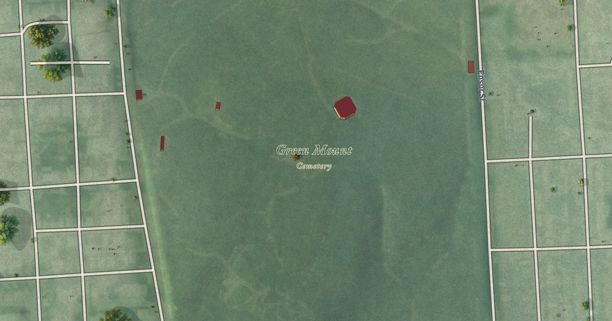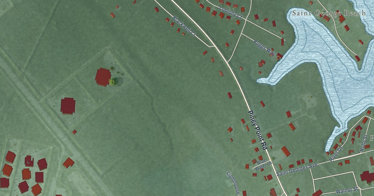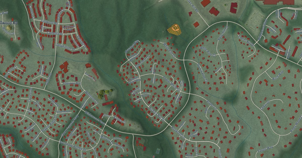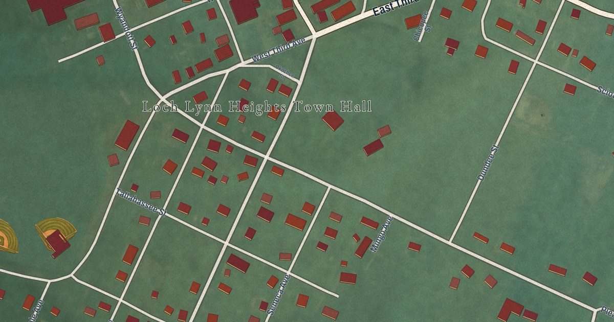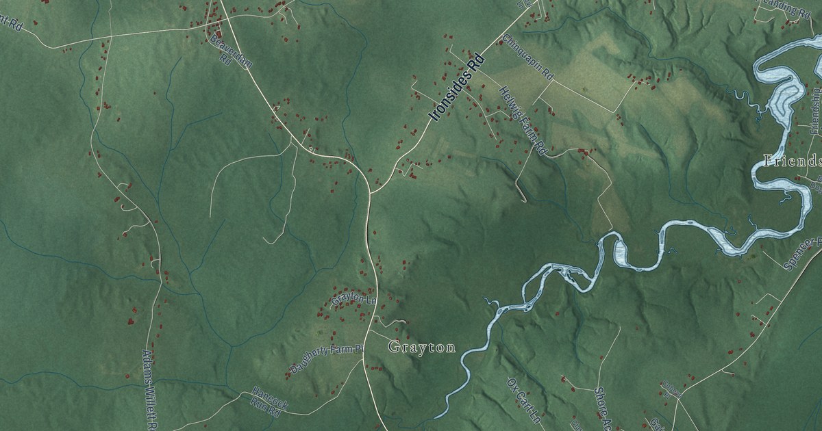
This beautifully detailed map of Nanjemoy, Maryland was created in 2026 using aerial imagery combined with modern topographical, census, street and landmark data. It’s a one-of-a-kind view of Nanjemoy that combines accurate data with a vintage aesthetic. The map shows every building in its true location, many of the roads carry their names, and the shaded topographic relief shows the shape of the land.
Explore an aerial view of Nanjemoy, Maryland
On the map you’ll find Wellington Beach, Glatfelter Easement, Liverpool Wharf, Riverside, Grayton, Maryland Point, Friendship Acres, Doncaster, Ironsides, Marshope, Hickory Hill, Mount Hope, and more. If you look closely you can even find your house accurately drawn in its correct location. Zoom in on the preview to look for yours.
Take a closer look at the Nanjemoy map
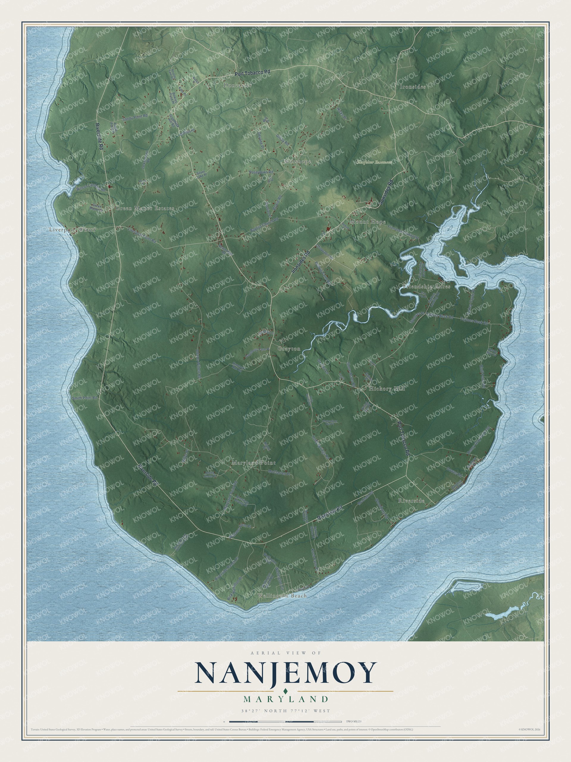
Names on this map
These names are printed on this map.
Places: Wellington Beach, Glatfelter Easement, Liverpool Wharf, Riverside, Grayton, Maryland Point, Friendship Acres, Doncaster, Ironsides, Marshope, Hickory Hill, Mount Hope and Green Manor Estates.
Streets and roads: Riverside Road, Port Tobacco Road, Ironsides Road, Holly Springs Road, Taylors Neck Road, Tayloes Neck Road, Smith Point Road, Liverpool Point Road, Maryland Point Road, Bowie Road, Adams Willett Road, Baptist Church Road.
More street names, A to Z
American Beauty Place, Beaverdam Road, Benny Gray Point Road, Billys Place, Bird Dog Place, Bluff Point Road, Bowies Pond Place, Burgess Farm Road, Chancellors Run Place, Chinquapin Road, Classic Place, Cobeys Place, Daugherty Farm Place, Devane Place, Dowes Road, Eagle Pond Place, Friendship Acres Road, Friendship Landing Road, Gaines Place, Gilroy Road, Grayton Lane, Greenleek Hill Road, Green Manor Drive, Hancock Run Road, Helwig Farm Road, Heron Bay Cv, Hicks Place, Holly Spring Road, Hotrod Place, Jacksontown Road, Jovita Jesse Place, Kate Place, Koch Farm Place, Levi Lane, Maryland Point Observatory Road, McClain Road, McClarren Place, Menagerie Farm Place, Mill Place, Naomi Place, Navajo Place, Oliver Place, Ox Cart Lane, Poseytown Road, Rainbow Place, Reverdy Farm Road, Rick Hamilton Place, Rising Sun Place, Riverside Ranch Place, Rollins Place, Russian Place, Samuel Place, Sandy Point Road, Shore Acres Road, Shore Place, Silver Lake Place, Spencer Place, Turkey Tayac Place, Walnut Grove Place, Walters Landing Road, Wellington Beach Road, Wellington Boulevard, Wellington Circle, Williams Farm Place, Wilson Landing Road, Woodbury Road.
See it on a wall
The Nanjemoy map as a framed print. Swipe for more.


This beautifully detailed map of Nanjemoy makes an attractive addition to your office, library, or den, and it can even be used to teach children the geography and history of the area. It also makes a great gift for anyone with Nanjemoy roots. When you’re done exploring, click here to get your copy of the Nanjemoy map.