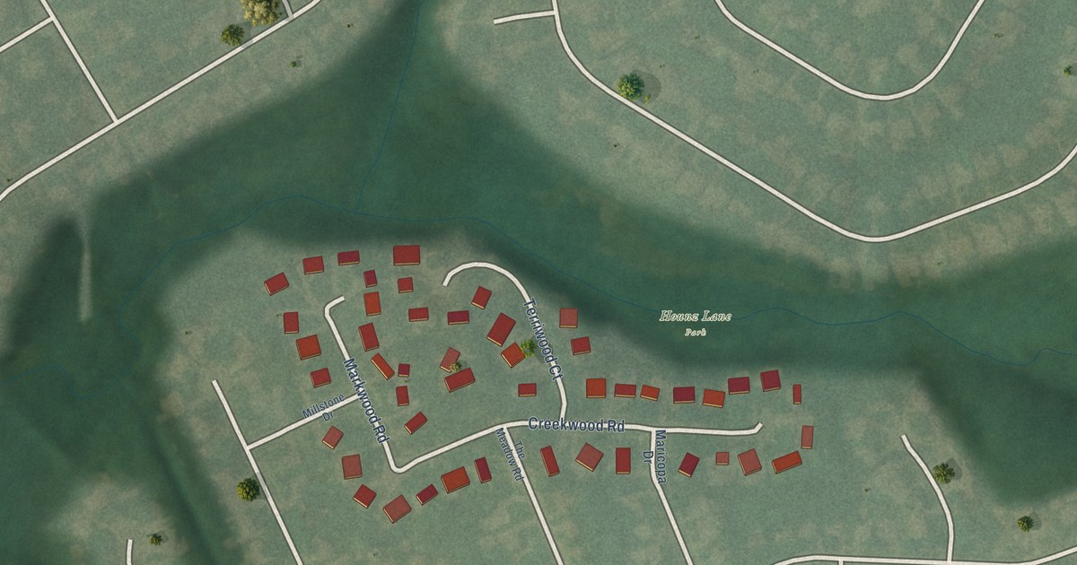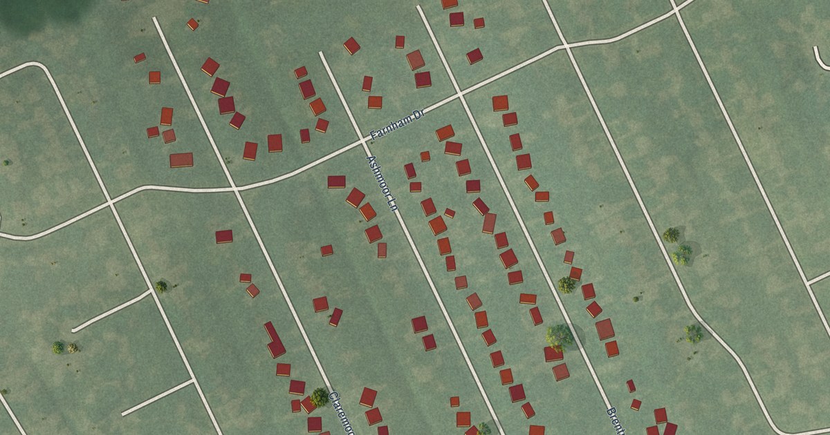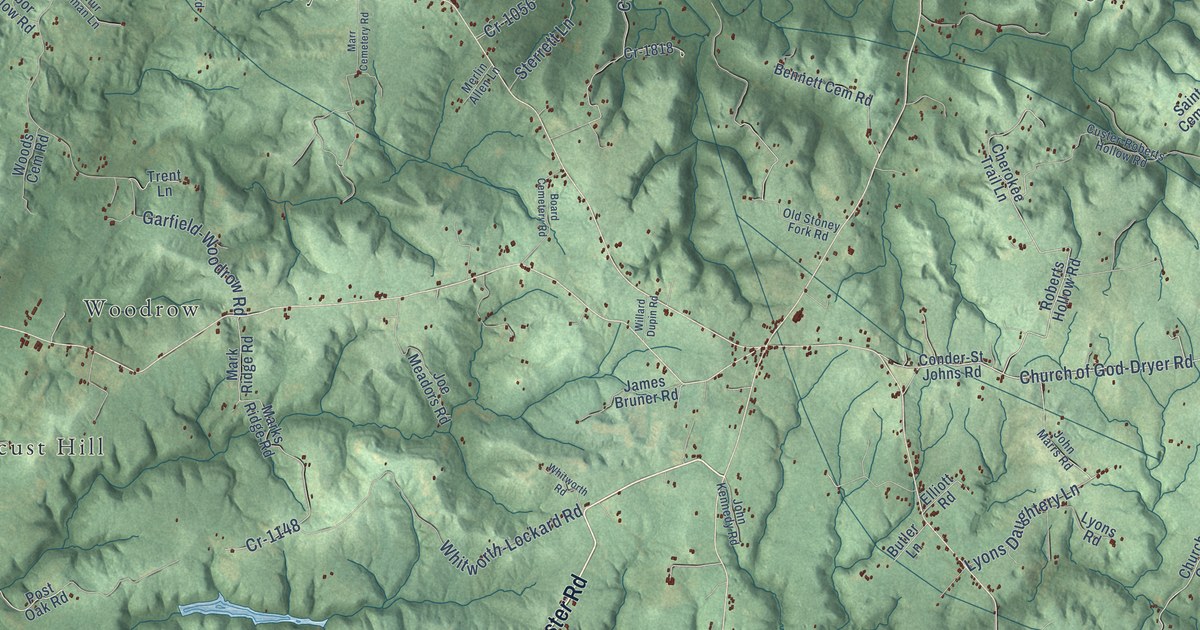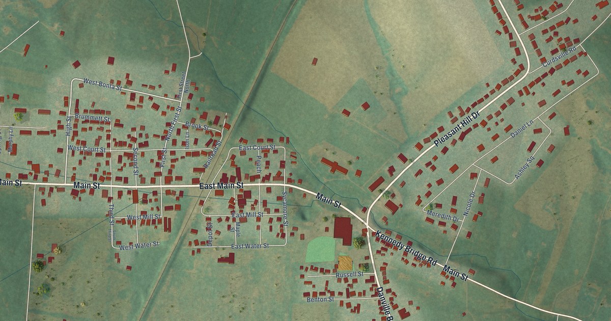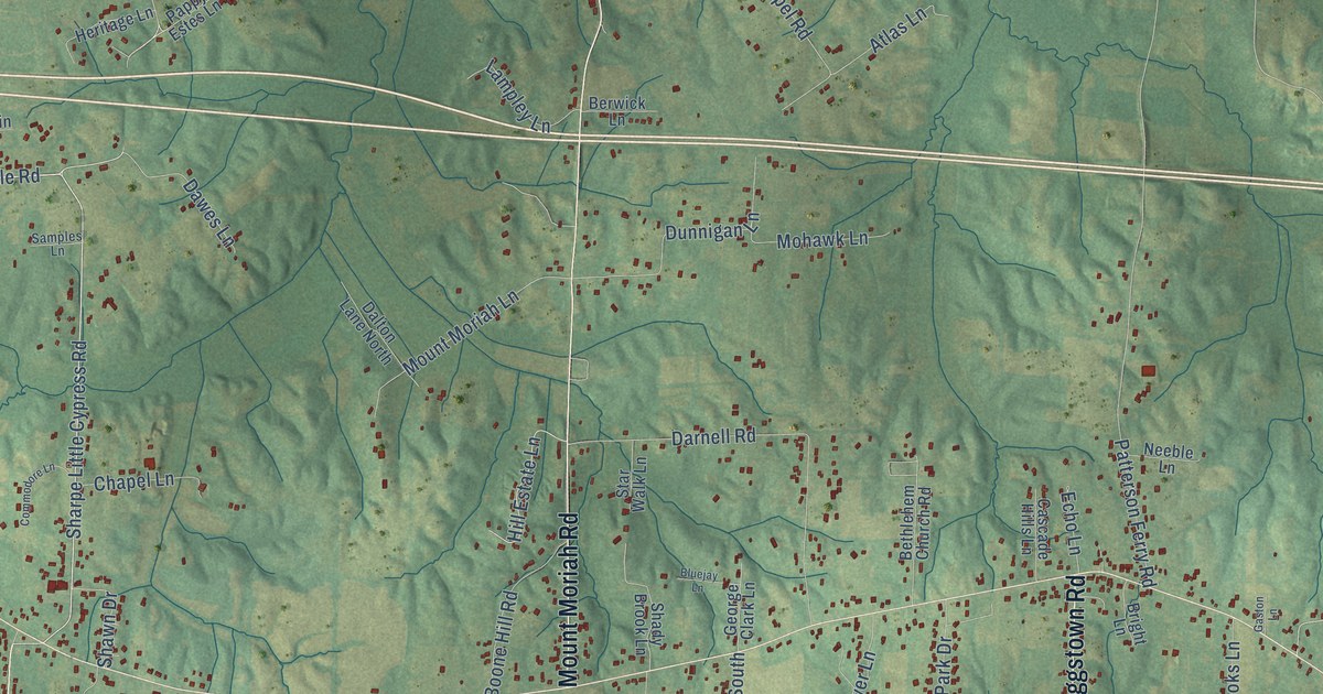
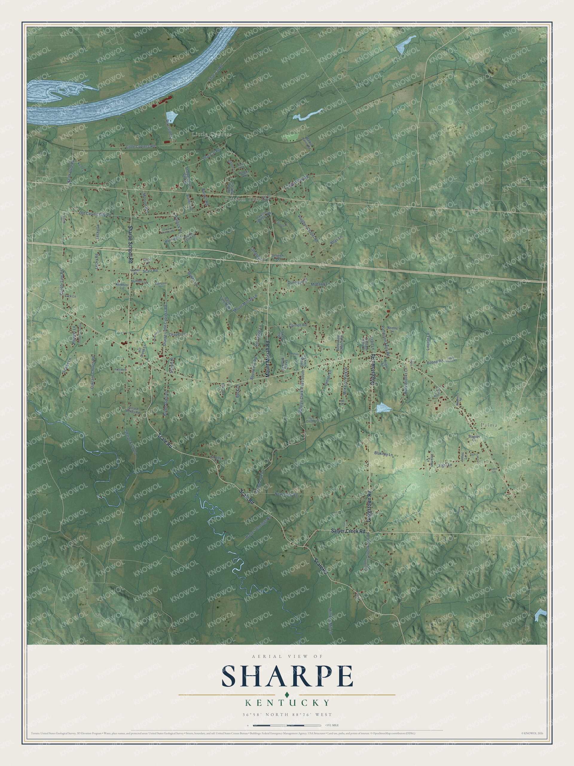
This beautifully detailed map of Sharpe, Kentucky was created in 2026 using aerial imagery combined with modern topographical, census, street and landmark data. It’s a one-of-a-kind view of Sharpe that combines accurate data with a vintage aesthetic. The map shows every building in its true location, many of the roads carry their names, and the shaded topographic relief shows the shape of the land.
Explore an aerial view of Sharpe, Kentucky
On the map you’ll find Little Cypress, Palma, and Possum Trot, along with Scale Road, Griggstown Road, Mount Moriah Road, Sharpe School Road, Salyer Creek Road, Old Calvert City Road, Warnick Road, Dawes Lane, George Clark Road South, and more. If you look closely you can even find your house accurately drawn in its correct location. Zoom in on the preview to look for yours.
Did You Know?
From Internet Archive: "Louis Club Is going to contest Pittsburg's right to Bud Sharpe, the Newark first * acker, who was drafted hy tha Pirates."
Sharpe is a community in Marshall County.
Take a closer look at the Sharpe map
Names on this map
These names are printed on this map.
Places: Little Cypress, Palma and Possum Trot.
Streets and roads: Scale Road, Griggstown Road, Mount Moriah Road, Sharpe School Road, Salyer Creek Road, Old Calvert City Road, Warnick Road, Dawes Lane, George Clark Road South, Shar Cal Road, Little Cypress Road, Sharpe Elva Road.
More street names, A to Z
Adair Lane, Atlas Lane, Bailey Road, Barrett Road, Berwick Lane, Bethlehem Church Road, Blakney Lane, Bluejay Lane, Boone Hill Road, Boone Road, Breeze Lane, Bright Lane, Buck Lane, Calvert City Circle, Calvert City Road, Cascade Hills Lane, Chapel Lane, Commodore Lane, County Line Road, Dalton Lane North, Darnell Road, Dillard Bailey Road, Drury Lane, Dunnigan Lane, Echo Lane, Fern Creek Lane, Frontage Lane, Gale Road, Gaston Lane, Gavin Lane, George Clark Lane, George Clark Road, Gerald Moore Loop, Golden Acres Loop, Green Oaks Lane, Griggs School Road, Grover Lane, Helena Road, Heritage Lane, Hill Creek Lane, Hill Estate Lane, Hunters Lane, James Lane, Jill Drive, Kerth Culp Road, Kerth Lane, Lampley Lane, Langley Lane, Lawson Johnson Road, Lecky Lane, Lecky Road, Lincoln Lane, Little Lane, Luck Lane, McIntosh Lane, McKenzi Park Drive, Milliken Mill Lane, Mitchell Road, Mohawk Lane, Monroe Road, Mount Moriah Lane, Neeble Lane, Needmore Road, New Hope Road, Oakland Church Road, Pappy Estes Lane, Parrott Lane, Patterson Ferry Road, Pioneer Lane, President Lane, Primrose Lane, Rickman Lane, Riverside Lane, Rudy Brooks Lane, Samples Lane, Scales Lane, Shady Brook Lane, Shar-Cal Road, Sharpe-Calvert City Road, Sharpe Little Cypress Road, Shawn Drive, South Brooks Road, Stagner Lane, Star Walk Lane, Tiger Lake Cv, Tiger Lane, Timber Bend Road, Trans Lane, Vaughns Chapel Road, Walker Harris Road, Walter Jennings Road, Webster Lane, Windy Hills Circle.
See it on a wall
The Sharpe map as a framed print. Swipe for more.


This beautifully detailed map of Sharpe makes an attractive addition to your office, library, or den, and it can even be used to teach children the geography and history of the area. It also makes a great gift for anyone with Sharpe roots. When you’re done exploring, click here to get your copy of the Sharpe map.