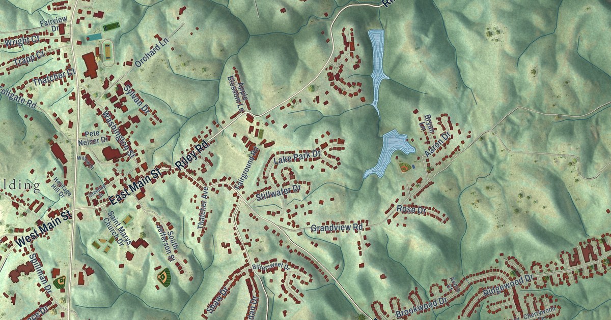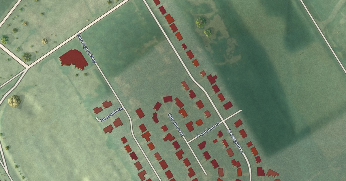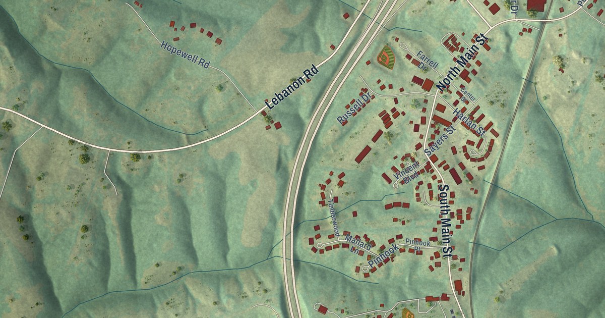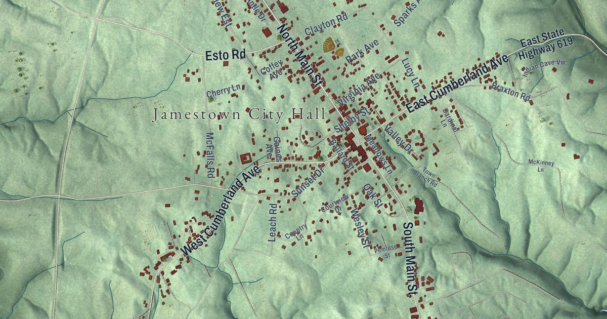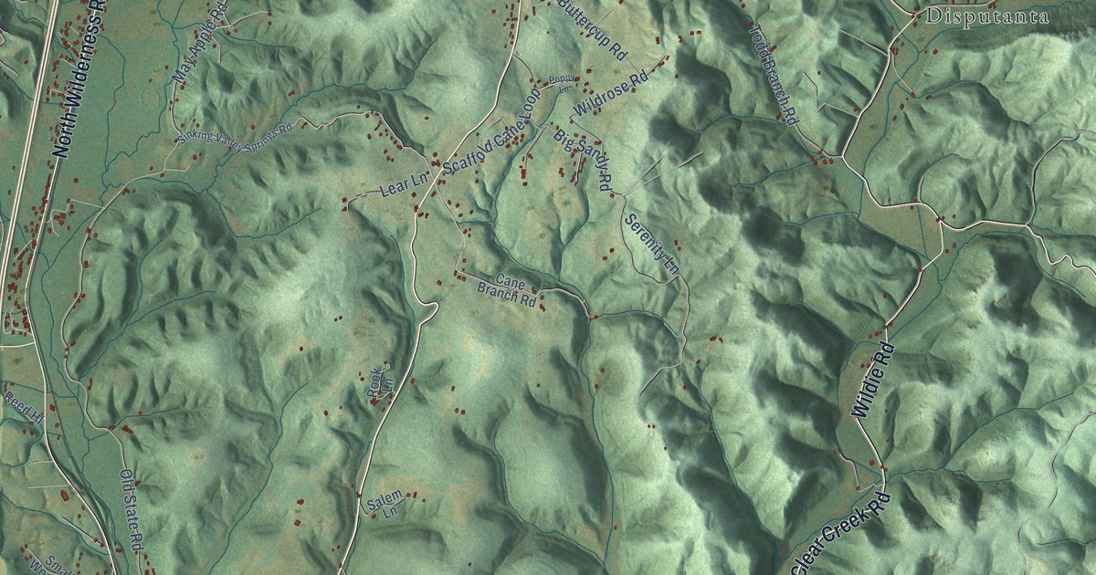
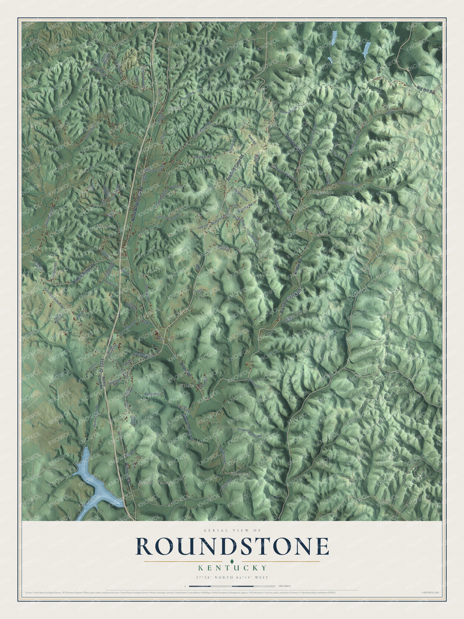
This beautifully detailed map of Roundstone, Kentucky was created in 2026 using aerial imagery combined with modern topographical, census, street and landmark data. It’s a one-of-a-kind view of Roundstone that combines accurate data with a vintage aesthetic. The map shows every building in its true location, many of the roads carry their names, and the shaded topographic relief shows the shape of the land.
Explore an aerial view of Roundstone, Kentucky
On the map you’ll find Hummel, Boone, Conway, Renfro Valley, Disputanta, and Wildie, along with Big Hill Road, Scaffold Cane Road, North Wilderness Road, Wildie Road, Disputanta Road, Brindle Ridge Road, and more. If you look closely you can even find your house accurately drawn in its correct location. Zoom in on the preview to look for yours.
Did You Know?
From Internet Archive: "The Holly silt loam occupies the first or overflow bottoms along the northern part of Roundstone Creek and its branches, and along Dick River and Copper Creek and their tributaries."
Roundstone is a community in Rockcastle County.
Take a closer look at the Roundstone map
Names on this map
These names are printed on this map.
Places: Hummel, Boone, Conway, Renfro Valley, Disputanta and Wildie.
Streets and roads: Big Hill Road, Scaffold Cane Road, North Wilderness Road, Wildie Road, Disputanta Road, Brindle Ridge Road, Big Clear Creek Road, Richmond Street, Cr-1333, Doc Wolfe Road, Renfro Creek Road, May Apple Road.
More street names, A to Z
Acorn Lane, Adams Farm Road, Anglin Falls Road, Azbil Road, Beiting Lane, Big Sandy Road, Bluegate Lane, Boone Gap Road, Buffalo Hollow Road, Burnt Ridge Road, Buttercup Road, Butterfly Lane, Cane Branch Road, Claylick Branch Road, Copper Creek Road, Cs-1044, Eversole Lane, Fairview Loop Road, Flat Gap Road, Grace Loop Road, Green Fish Road, Hammonds Fork Road, Hansel Lane, Hiatt Lane, Hiatt Road, Hummel Road, Hurricane School Road, Jim Dees Road, Jordan Cemetery Road, Judge Thacker Lane, Killdeer Hollow, Ky-3275, Ladyslipper Lane, Lambert Road, Lear Lane, Little Clear Creek, Little Hurricane Branch Road, London Lane, Lookout Road, Lost Branch Road, Madison View Road, Maret Cemetery Road, McCollum Road, Miller Lane, Old Garrard Road, Old Sigmon Loop, Old State Road, Paris Lane, Pleasant View Drive, Poppy Lane, Potter Road, Ramsey Lane, Redskin Road, Reed Hl, Rimmel Cemetery Road, Rogers Road, Rook Lane, Rowland Hollow, Rowland Hollow Road, Roy McColum Road, Salem Lane, Salt Springs Hollow Road, Scaffold Cane Loop, Serenity Lane, Shady Lane, Shearer Hollow Road, Sinking Valley Springs Road, Small Wood Road, Snowflake Lane, Stephens Road, Sunset Ridge, Sweetwater Road, Tiny Lane, Tipple Road, Todd Branch Road, Topaz Lane, Watt Lane, Wildrose Road, Wool Lane, Wynn Lane.
See it on a wall
The Roundstone map as a framed print. Swipe for more.


This beautifully detailed map of Roundstone makes an attractive addition to your office, library, or den, and it can even be used to teach children the geography and history of the area. It also makes a great gift for anyone who grew up in Roundstone or moved away. When you’re done exploring, click here to get your copy of the Roundstone map.