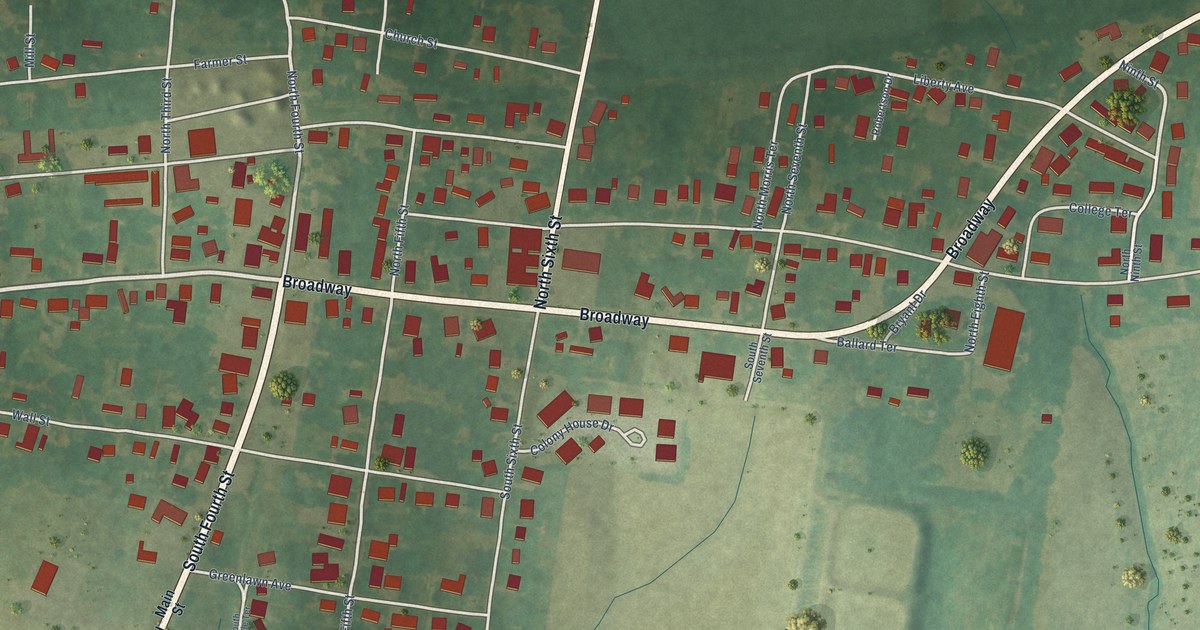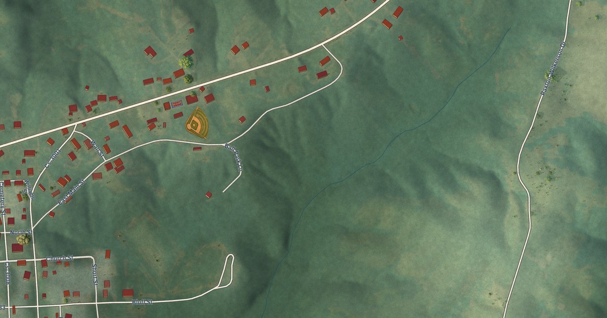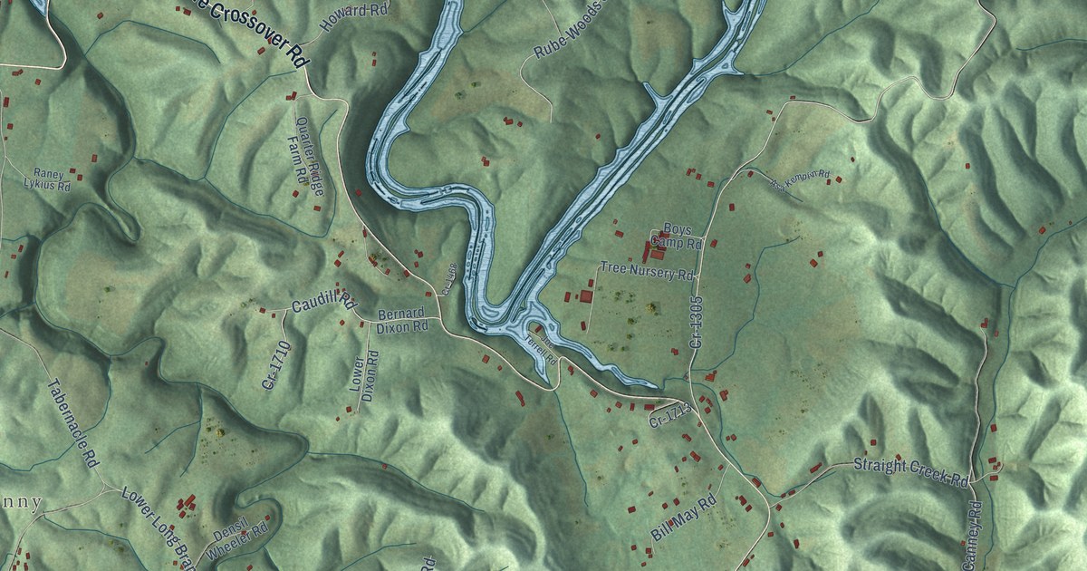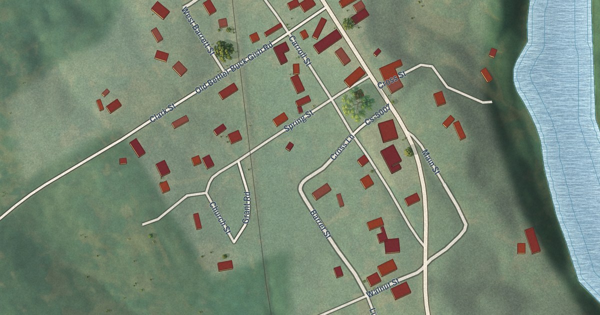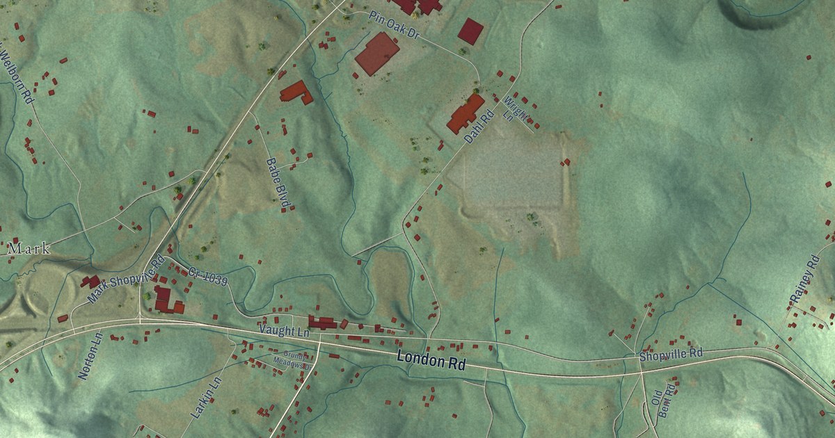
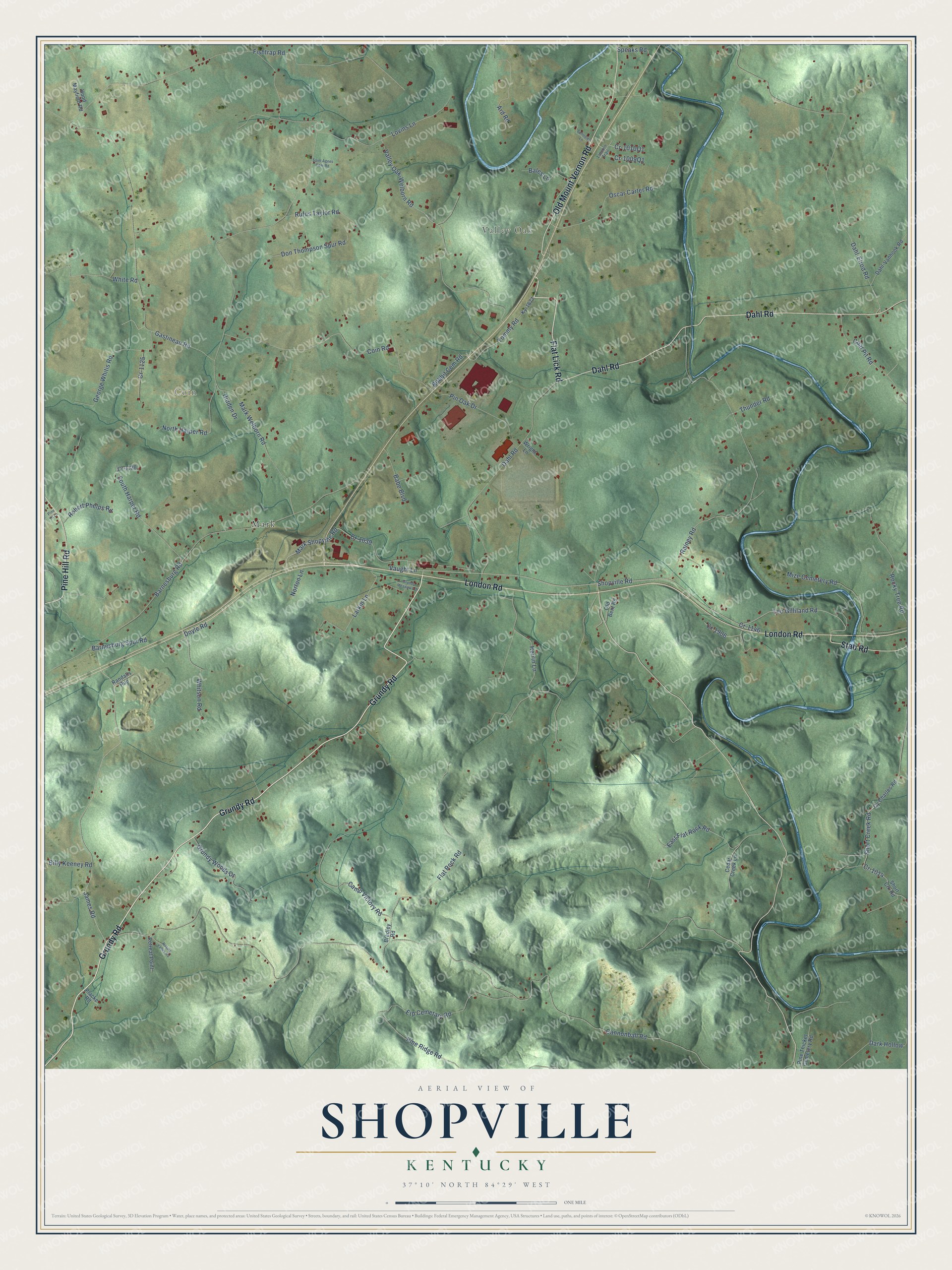
This beautifully detailed map of Shopville, Kentucky was created in 2026 using aerial imagery combined with modern topographical, census, street and landmark data. It’s a one-of-a-kind view of Shopville that combines accurate data with a vintage aesthetic. The map shows every building in its true location, many of the roads carry their names, and the shaded topographic relief shows the shape of the land.
Explore an aerial view of Shopville, Kentucky
On the map you’ll find Valley Oak, Coin, and Mark, along with Grundy Road, Flat Lick Road, London Road, Dahl Road, Old Mount Vernon Road, Pine Hill Road, Stab Road, Shopville Road, Leo Gilliland Road, and more. If you look closely you can even find your house accurately drawn in its correct location. Zoom in on the preview to look for yours.
Take a closer look at the Shopville map
Names on this map
These names are printed on this map.
Places: Valley Oak, Coin and Mark.
Streets and roads: Grundy Road, Flat Lick Road, London Road, Dahl Road, Old Mount Vernon Road, Pine Hill Road, Stab Road, Shopville Road, Leo Gilliland Road, James Road, Mark Shopville Road, Whitson Road.
More street names, A to Z
Ard Road, Babe Boulevard, Bales Lane, Barnesburg Road, Barnesburg Spur Road, Billy Keeney Road, Bobbit Cem Road, Bradley Road, Camp Victory Road, Cannonball Road, Cedar Creek Lane, Coal Pit Road, Coin Road, Cr-1014, Cr-1039, Cr-1125, Cr-1126, Cr-1146, Cr-1906, Cy Charles Road, Dahl-Elrod Road, Dahl-Vanhook Road, Dark Hollow, Don Thompson Spur Road, Doyle Road, East Flat Rock Road, Erp Cemetary Road, Fishtrap Road, Flat Rock Road, Gastineau Road, George Whitis Road, Grundy Meadows Drive, Grundy Woods Drive, Herrin Lane, Hidden Drive, Hood Mayfield Road, Ky-1677, Larkin Lane, Lincoln Trail, Lovins Lane, Mark Welborn Road, Mize Cemetery Road, Nature Valley Road, North Harper Road, Norton Lane, Old Bent Road, Oscar Carter Road, Pine Hl Lane, Pine Ridge Road, Pine Thicket Cemetery Road, Pin Oak Drive, Placke Road, Rainey Road, Randalls Run, Retreat Point, Robert Phelps Road, Rocky Tree Road, Rufus Taylor Road, Saint Agnes Cem Road, Schooley Lane, Short Creek Road, Short Crk Road, South Harper Road, Speaks Road, Thunder Road, Tommy Road, Valley Oak-Welborn Road, Vaught Lane, White Road, Wright Lane.
See it on a wall
The Shopville map as a framed print. Swipe for more.


This beautifully detailed map of Shopville makes an attractive addition to your office, library, or den, and it can even be used to teach children the geography and history of the area. It also makes a great gift for someone who left Shopville and still calls it home. When you’re done exploring, click here to get your copy of the Shopville map.