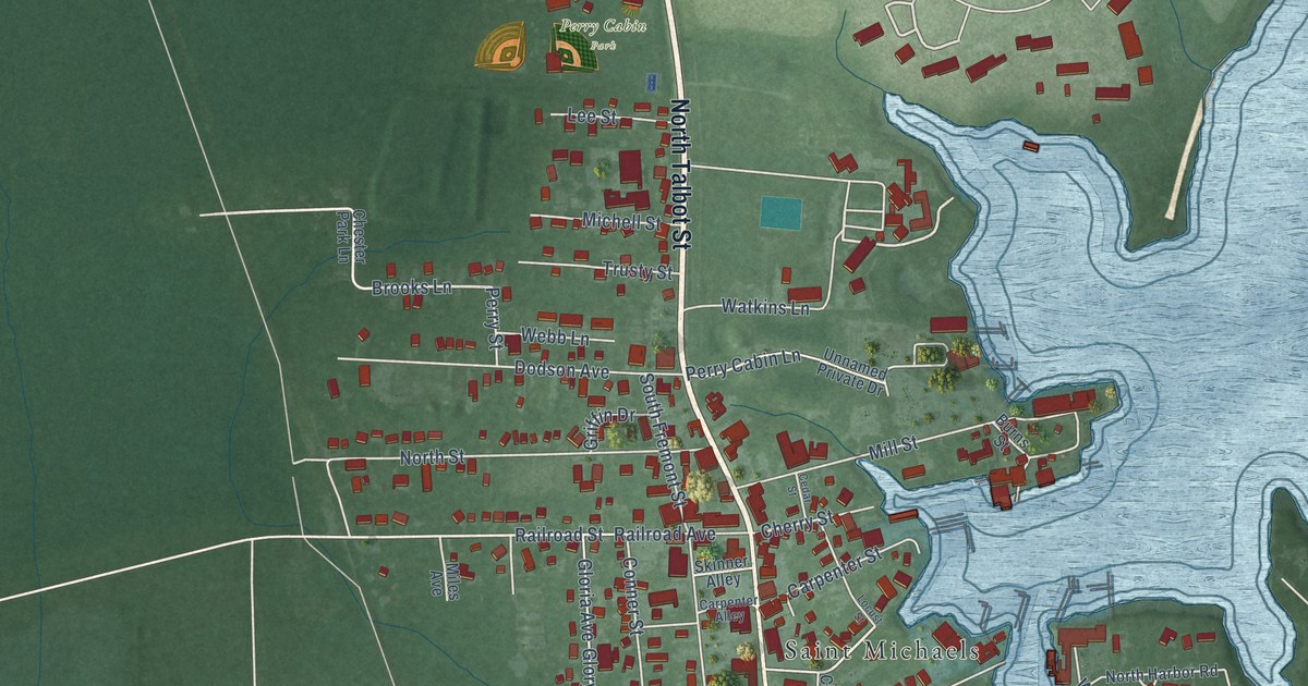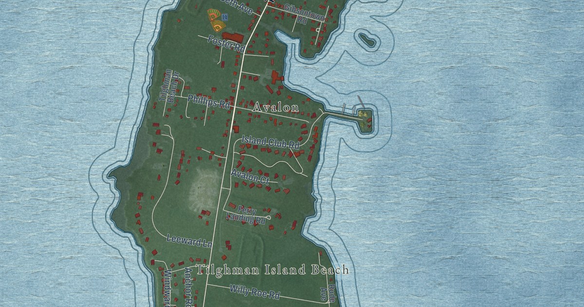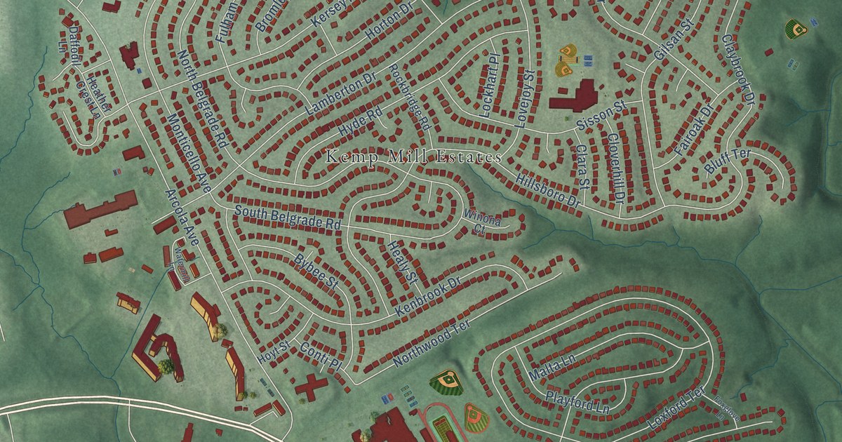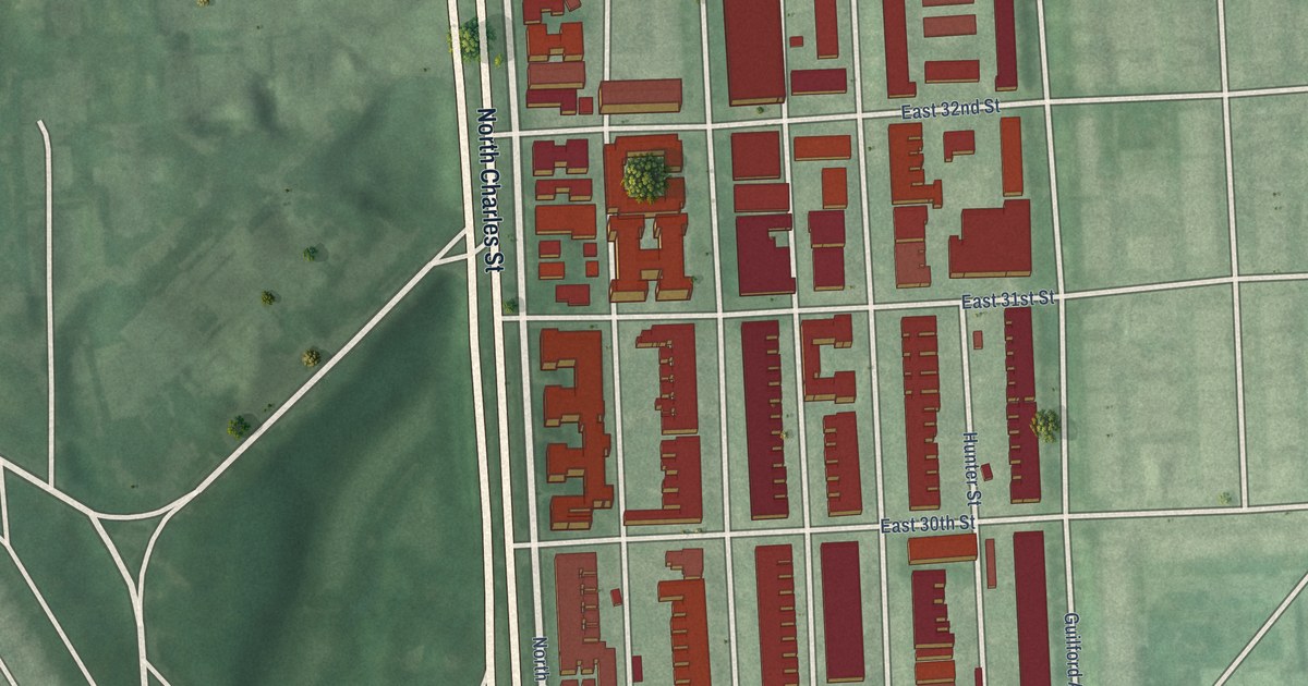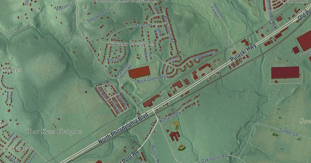
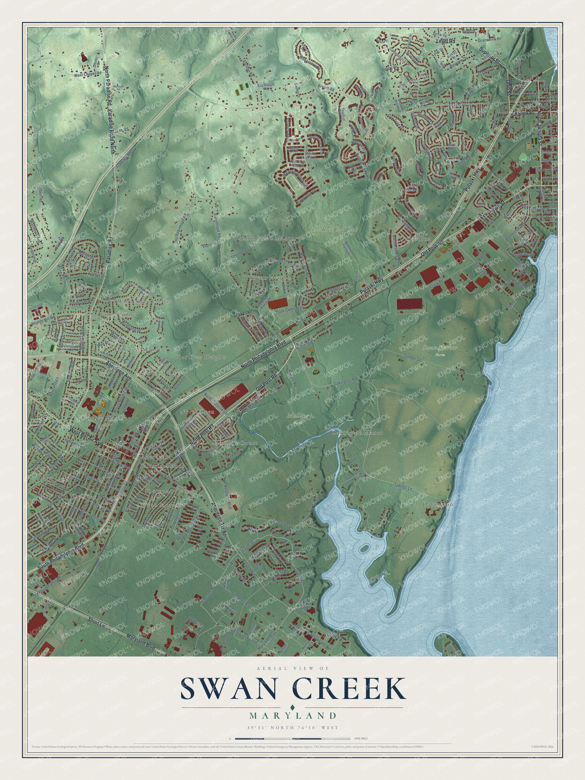
This beautifully detailed map of Swan Creek, Maryland was created in 2026 using aerial imagery combined with modern topographical, census, street and landmark data. It’s a one-of-a-kind view of Swan Creek that combines accurate data with a vintage aesthetic. The map shows every building in its true location, many of the roads carry their names, and the shaded topographic relief shows the shape of the land.
Explore an aerial view of Swan Creek, Maryland
On the map you’ll find Mullins Park, Swan Harbor Farm, Windemere Estates, Robin Hood Manor, Osborne, Hill Land, Oakington, Green Valley, Swan Meadows, Oakington Manor, and Glenn Heights, along with Hamilton Court, and more. If you look closely you can even find your house accurately drawn in its correct location. Zoom in on the preview to look for yours.
Take a closer look at the Swan Creek map
Names on this map
These names are printed on this map.
Places: Mullins Park, Swan Harbor Farm, Windemere Estates, Robin Hood Manor, Osborne, Hill Land, Oakington, Green Valley, Swan Meadows, Hamilton Court, Oakington Manor, Glenn Heights, Burkley Manor, Hillcrest Manor, Dol Ray, Burns Corner, Sherwood Homes, Baldwin Manor, North Deen, Aberdeen, Bar Kess Heights and Bulle Rock Golf Club.
Streets and roads: North Philadelphia Boulevard, South Philadelphia Boulevard, Old Post Road, North Post Road, North Juniata Street, Maryland Boulevard, Superior Street, Aberdeen Trwy, Pulaski Highway, Paradise Road, Aberdeen Avenue, Short Lane.
More street names, A to Z
Aberdeen Boulevard, Affirmed Drive, Agena Drive, Anchor Court, Anderson Avenue, Andrews Road, Angus Drive, Apg Road, Argonne Drive, Augusta Street, Baker Street, Baltimore Street, Barrett Street, Battery Drive, Bay Boulevard, Bay Court, Bayland Drive, Bay Side Drive, Bayview Drive, Beards Hill, Beards Hill Road, Beech Alley, Bel Air Street, Benice Street, Bern Drive, Bernice Terrace, Bevard Court, Blenhiem Farm Lane, Blenhiem Lane, Bloomsbury Avenue, Bob Vaught Way, Bounding Home Court, Bourbon Street, Bouzarth Lane, Brannon Road, Brant Court, Brenda Lane, Brian Garth, Bryant Road, Bufflehead Drive, Bulle Rock Parkway, Burkley Avenue, Cambridge Avenue, Camilla Street, Canal Court, Canvasback Drive, Carol Avenue, Center Deen Avenue, Chapel Heights Drive, Chapel Road, Chapel Terrace, Chesapeake Avenue, Chesapeake Drive, Church Lane, Cigar Loop, Cirelli Court, Clark Road, Colaine Drive, Congress Avenue, Country Club Road, Courtney Drive, Cronin Drive, Crozier Loop, Custis Street, Dark Star Circle, Deaver Street, Decoy Drive, Deer Creek Loop, Delaware Court, Dock Court, Dolphin Court, Doris Circle, Dorsey Street, Drew Drive, Dusk View Drive, Earlton Road, East Bel Air Avenue, Ebaugh Avenue, Edmund Street, Elizabeth Street, Elm Street, Elocutionist Awy, Engle Avenue, Erie Street, Everist Drive, Farm Lane, Farm Road, Ferdinand Drive, Flag Court, Flare Loop, Flying Ebony Place, Ford Street, Fountain Street, Francis Street, Frontage Road, Gadsden Road, Gallant Fox Drive, Garden Drive, Gashey Drive, Gilbert Road, Giles Street, Girard Street, Goforth Drive, Graceford Drive, Grace Manor Drive, Graceview Drive, Grasmere Drive, Grasmere Lane, Grove Street, Gunnison Drive, Hall Court, Halls Road, Harford Boulevard, Harlan Avenue, Hays Road, Heather Court, Heather Way, Hebditch Lane, High Point Road, Hillcrest Drive, Hinton Street, Holloway Lane, Holly Drive, Hoppers Lane, Howard Street, Hunter Court, Hutchins Court, Iroquois Court, James Avenue, James Lane, Jason Lane, Jennifer Lane, Joehill Drive, John Smith Street, Keewee Road, Kendrick Drive, Lafayette Street, Law Street, Lee Road, Legion Drive, Level Road, Lewis Drive, Lewis Lane, Lewis Street, Liberty Street, Linden Lane, Lockhart Court, Locust Road, Locust Street, Lori Lane, Loyalty Court, Lyon Street, Main Plant Drive, Majestic Prince Circle, Mallard Court, Manor Road, Marian Drive, Market Street, Martha Lewis Boulevard, Marylander Drive, Matthews Avenue, Maxa Road, McCloskey Road, Melissa Court, Michael Drive, Middleton Road, Miller Court, Mitchell Avenue, Mohegan Drive, Monarchos Drive, Monroe Street, Mount Royal Avenue, Moyer Drive, Mullins Road, Nautical Court, Newton Road, Norman Avenue, North Adams Street, North Earlton Road, Northgate Road, North Osborne Lane, North Paradise Road, North Parke Street, Nova Drive, Oakington Road, Oak Street, Oak Tree Drive, Ohio Street, Old Bay Lane, Old Landing Road, Old Philadelphia Road, Old Robinhood Road, Oneil Court, Ontario Street, Otsego Street, Oxford Avenue, Ozark Road, Palm Street, Palomino Ranch Road, Paradise Road North, Park Drive, Patriot Way, Paul Drive, Peace Chance Drive, Peace Court, Pearson Lane, Penrith Way, Pine Street, Pintail Drive, Plater Street, Pledge Court, Poplar Alley, Post Road, Powder Loop, Pride Court, Pusey Street, Quarry Road, Railbird Alley, Randolph Drive, Rand Street, Raritan Avenue, Ray Avenue, Red Robin Alley, Research Boulevard, Revolution Street, Richard Lane, Riddle Drive, Rigdon Road, Risen Star Court, Roberts Way, Robinhood Road, Robinson Avenue, Rock Glenn Boulevard, Rock Glenn Road, Rock Island Road, Rock Road, Rodman Road, Rowe Drive, Ruby Drive, Ruddy Court, Saturn Drive, Scenic Drive, Seagull Drive, Seattle Slew Place, Secretariat Drive, Seneca Avenue, Shandy Hall Road, Shawnee Brooke Drive, Sherwood Lane, Shinnicock Road, Shirley Drive, Snow Chief Drive, South Adams Street, South Court, South Drive, Southgate Road, South Juniata Street, South Parke Street, South Post Road, South Rogers Street, Spectacular Bid Drive, Spesutie Island Road, Spinnaker Way, Summer Squall Court, Swan Street, Taft Street, Target Loop, Teal Court, Tel Star Lane, Tern Court, Third Street, Tidewater Drive, Timber Lane, Tim Tam Court, Titan Terrace, Touch of Gold Drive, Tydings Lane, Tydings Road, Union Street, Valley Road, Van Street, Veteran Court, Victory Street, Vista Bay Court, Walker Street, Walnut Road, Walnut Street, Warren Street, Washington Street, Watervliet Street, Webb Lane, Webb Street, Weber Street, Wesleyan Road, West Bel Air Avenue, West Chapel Road, West Court, West Inca Street, Whirlaway Lane, Whitney Court, Williams Drive, Willow Way, Wilson Street, Wilson Street Extended, Windemere Drive, Windsong Drive, Wye Drive, Wyn Mar Avenue.
See it on a wall
The Swan Creek map as a framed print. Swipe for more.


This beautifully detailed map of Swan Creek makes an attractive addition to your office, library, or den, and it can even be used to teach children the geography and history of the area. It also makes a great gift for anyone with Swan Creek roots. When you’re done exploring, click here to get your copy of the Swan Creek map.