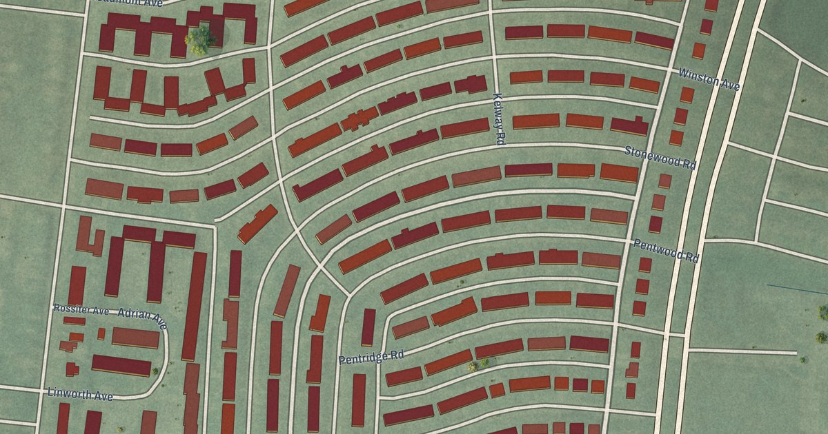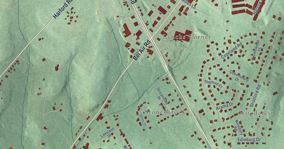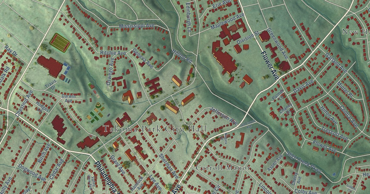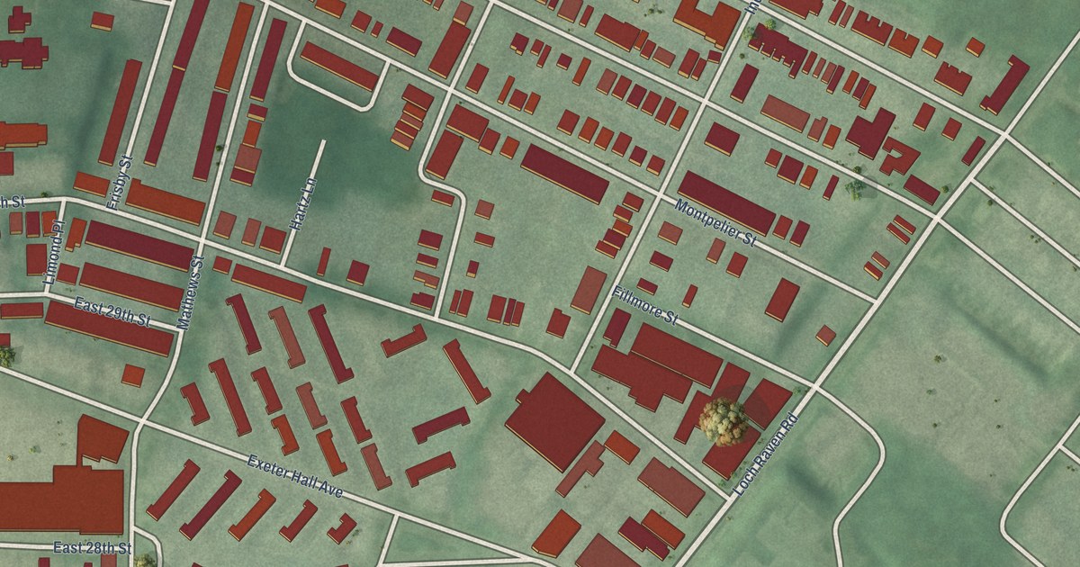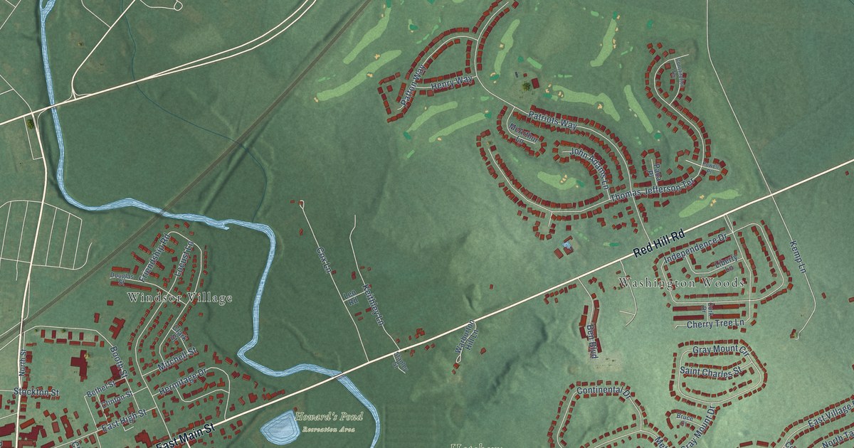
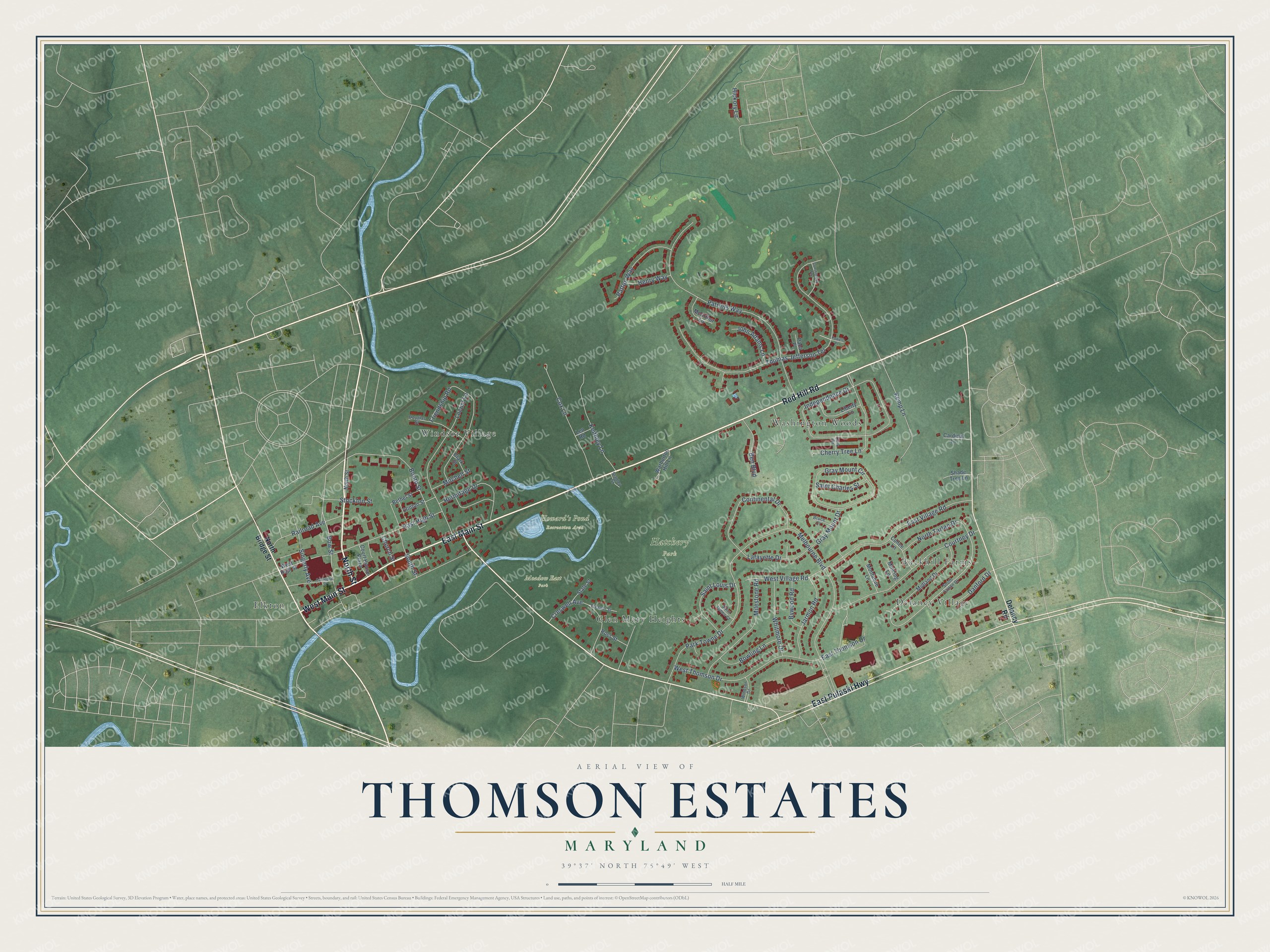
This beautifully detailed map of Thomson Estates, Maryland was created in 2026 using aerial imagery combined with modern topographical, census, street and landmark data. It’s a one-of-a-kind view of Thomson Estates that combines accurate data with a vintage aesthetic. The map shows every building in its true location, many of the roads carry their names, and the shaded topographic relief shows the shape of the land.
Explore an aerial view of Thomson Estates, Maryland
On the map you’ll find Hatchery Park, Howard’s Pond Recreation Area, Meadow East Park, Washington Woods, Elkton, Delancy Village, Windsor Village, Buckhill Farms, and Glen Mary Heights, along with Red Hill Road, East Main Street, North Street, and more. If you look closely you can even find your house accurately drawn in its correct location. Zoom in on the preview to look for yours.
Take a closer look at the Thomson Estates map
Names on this map
These names are printed on this map.
Places: Hatchery Park, Howard's Pond Recreation Area, Meadow East Park, Washington Woods, Elkton, Delancy Village, Windsor Village, Buckhill Farms and Glen Mary Heights.
Streets and roads: Red Hill Road, East Main Street, North Street, West Main Street, East Pulaski Highway, Bow Street, Melbourne Boulevard, Thomas Jefferson Terrace, Patriots Way, Independence Drive, Friendship Road, Park Towne Drive.
More street names, A to Z
Ben Boulevard, Bethel Street, Booth Street, Bowling Lane, Bruce Court, Bywood Road, Cardinal Lane, Cathedral Street, Cherry Tree Lane, Church Street, Clark Street, Clinton Street, Cohee Lane, Constitution Terrace, Continental Drive, Cork Drive, Court House Plaza, Courtney Drive, Cox Lane, Creswell Avenue, Danford Drive, Delancy Road, Douglas Street, East High Street, East Thomson Drive, East Village Road, Eleanor Street, Gray Mount Circle, Gray Mount Drive, Henry Way, Hermitage Drive, Hickory Lane, Jarmon Road, John Adams Lane, Keithley Lane, Kemp Lane, Lafayette Drive, Leo Road, Liberty Lane, Locust Lane, McArthur Lane, Midland Drive, Milestone Road, Mincing Lane, Mitchell Street, Montaque Lane, North Bridge Street, North Tartan Drive, Paca Place, Patton Way, Powell Place, Railroad Avenue, Ross Street, Saint Charles Street, Saint James Court, Saint Louis Drive, Shade Tree Lane, Singerly Avenue, South Street, South Tartan Drive, Stanley Street, State Street, Stockton Street, Warburton Hill Lane, West High Street, West Thomson Drive, West Village Road, Whitmore Drive, Windsor Drive.
See it on a wall
The Thomson Estates map as a framed print. Swipe for more.


This beautifully detailed map of Thomson Estates makes an attractive addition to your office, library, or den, and it can even be used to teach children the geography and history of the area. It also makes a great gift for anyone who grew up in Thomson Estates or moved away. When you’re done exploring, click here to get your copy of the Thomson Estates map.