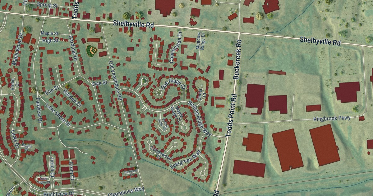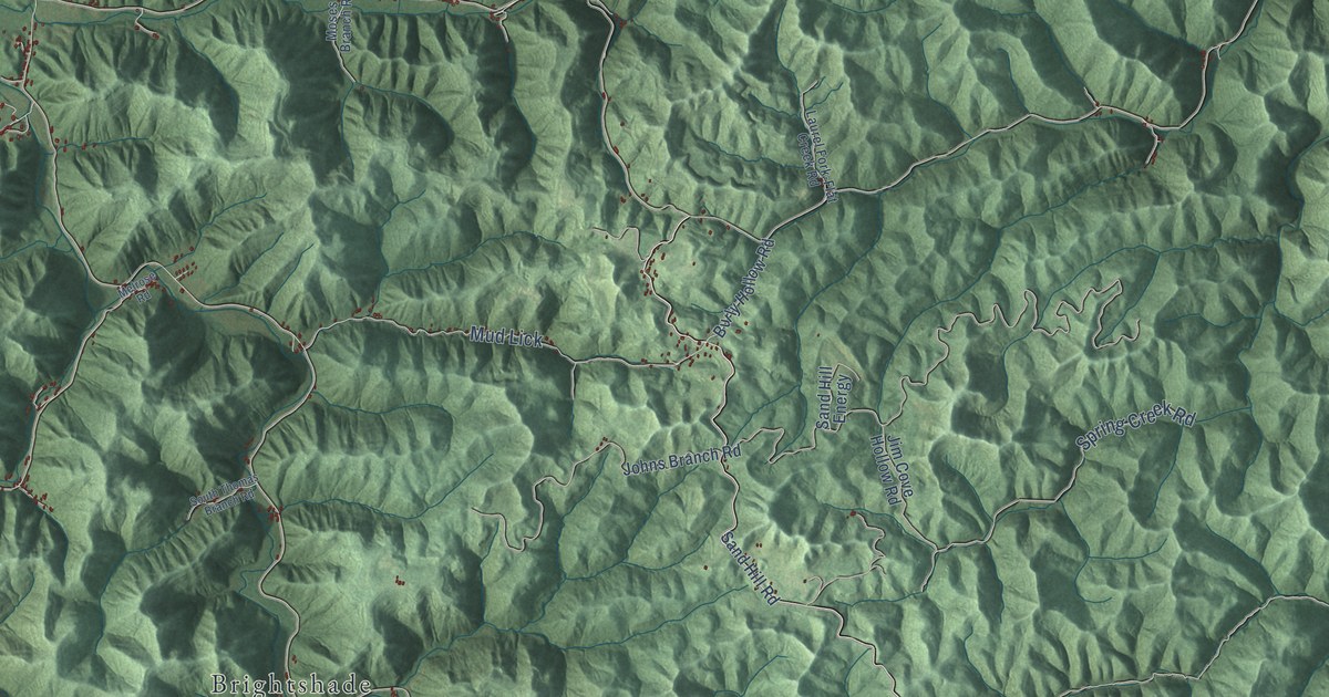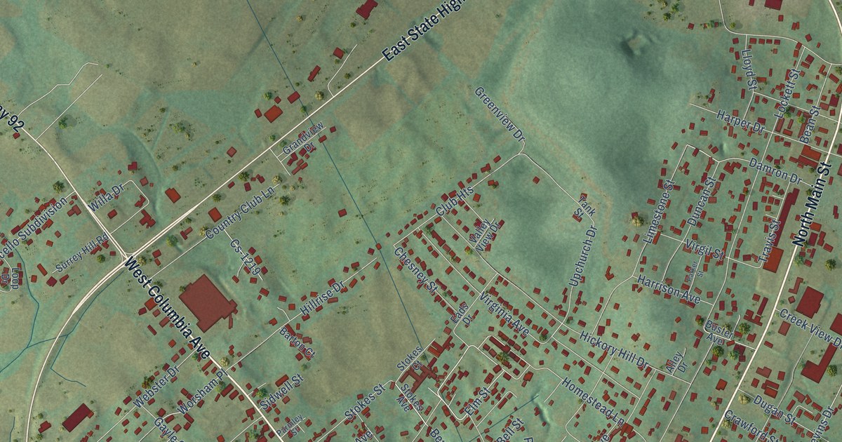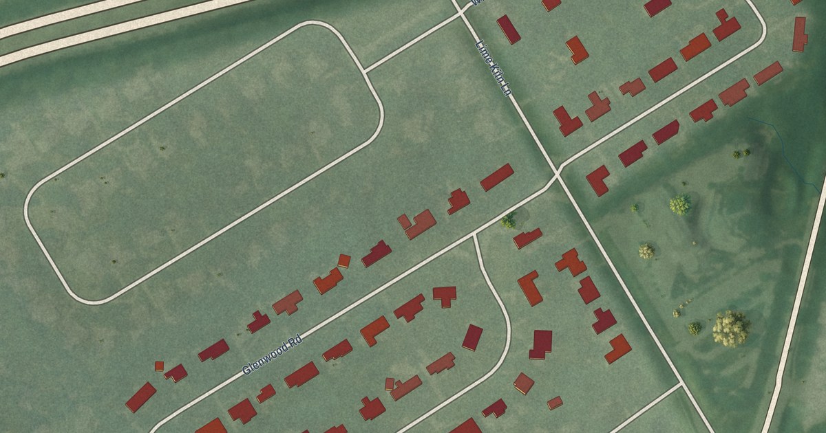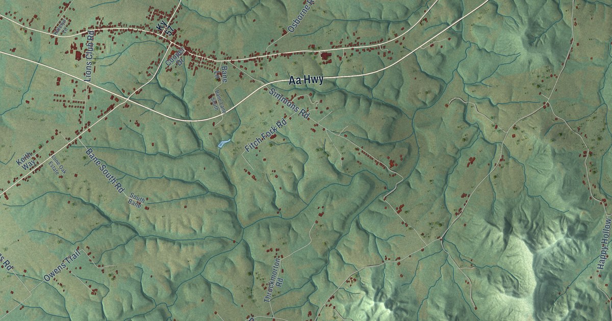
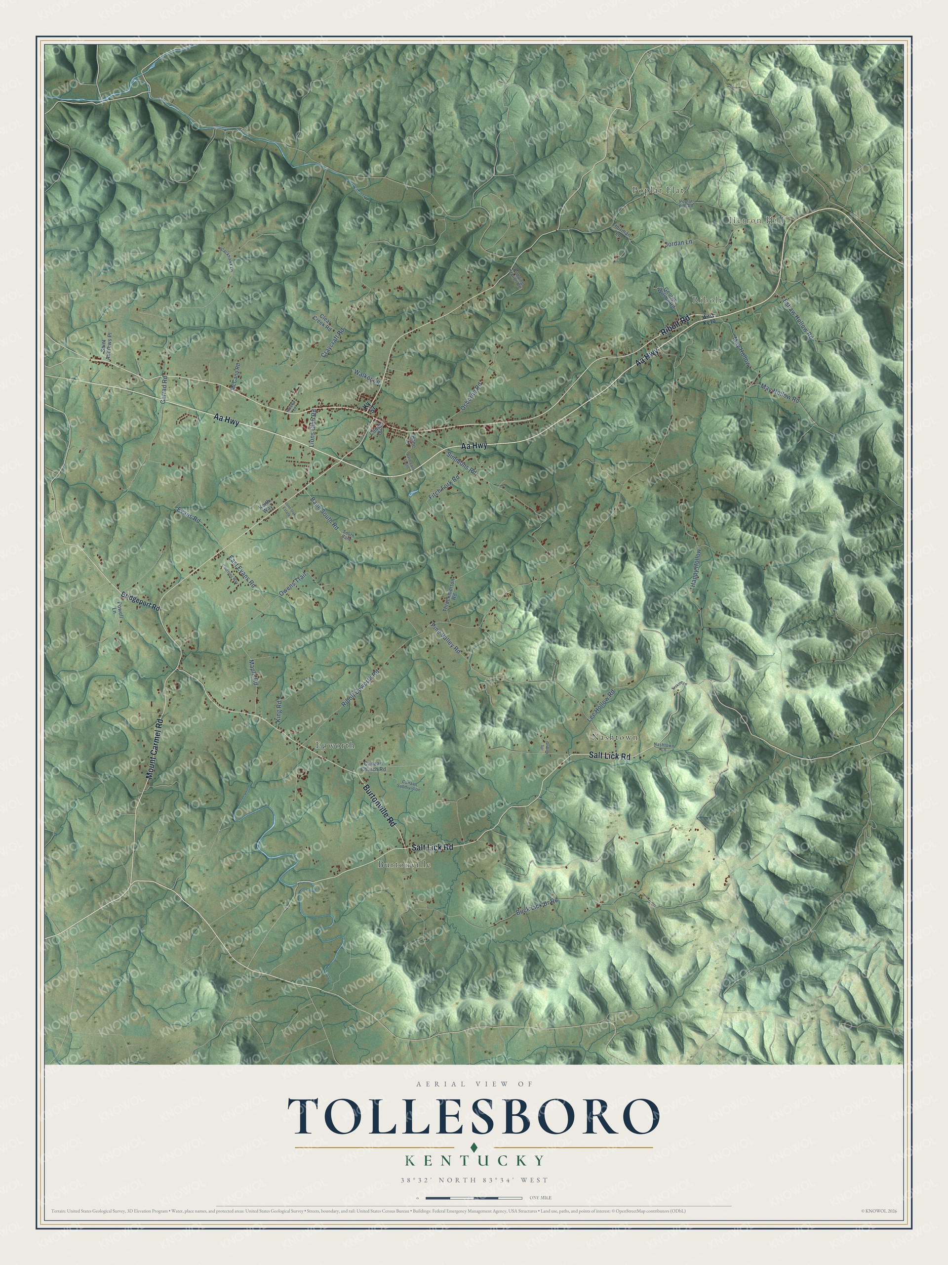
This beautifully detailed map of Tollesboro, Kentucky was created in 2026 using aerial imagery combined with modern topographical, census, street and landmark data. It’s a one-of-a-kind view of Tollesboro that combines accurate data with a vintage aesthetic. The map shows every building in its true location, many of the roads carry their names, and the shaded topographic relief shows the shape of the land.
Explore an aerial view of Tollesboro, Kentucky
On the map you’ll find Herron Hill, Ribolt, Burtonville, Nashtown, Poplar Flat, and Epworth, along with Aa Highway, Ribolt Road, Mount Carmel Road, Salt Lick Road, Burtonville Road, East Evans Road, and more. If you look closely you can even find your house accurately drawn in its correct location. Zoom in on the preview to look for yours.
Did You Know?
From Internet Archive: "Rev Thoraaj Bagley. who preached several timis recently in this city, and Who has been Pastor of the Tollesboro Christian Church, left Monday for bis borne in Sydney."
Tollesboro is a community in Lewis County.
Take a closer look at the Tollesboro map
Names on this map
These names are printed on this map.
Places: Herron Hill, Ribolt, Burtonville, Nashtown, Poplar Flat and Epworth.
Streets and roads: Aa Highway, Ribolt Road, Mount Carmel Road, Salt Lick Road, Burtonville Road, East Evans Road, Ribolt Epworth Road, Buck Lick Br Road, Pine Valley Road, Simmons Road, Garrad Road, Evans Road.
More street names, A to Z
Bane Lane, Bane Lane South, Bane South Road, Blackhawk Lane, Bridgeport Road, Canaan Church Road, Canaan Subdivision, Clear Creek Road, Cooper Drive, Courtney Way, Craycraft Road, Erskine Lane, Eshaw Hollow Road, Fitch Fork Road, George Wilson Road, Griffith Spr, Happy Hollow, Jordan Lane, Katelyn Lane, Keith Way, King Road, Ky 57, Lee Hollow Road, Lions Club Road, Lone Oak Estate, Maple Road, May Hollow, May Hollow Road, McCann Road, Nashtown Lane, Osborne Road, Owens Trail, Poplar Flat Road, Powell Lane, Pumping Station Road, Saint Andrews Place, South Bane, Throckmorton Road, Thurman Lane, Walker Lane, West Ky 10.
See it on a wall
The Tollesboro map as a framed print. Swipe for more.


This beautifully detailed map of Tollesboro makes an attractive addition to your office, library, or den, and it can even be used to teach children the geography and history of the area. It also makes a great gift for someone who left Tollesboro and still calls it home. When you’re done exploring, click here to get your copy of the Tollesboro map.