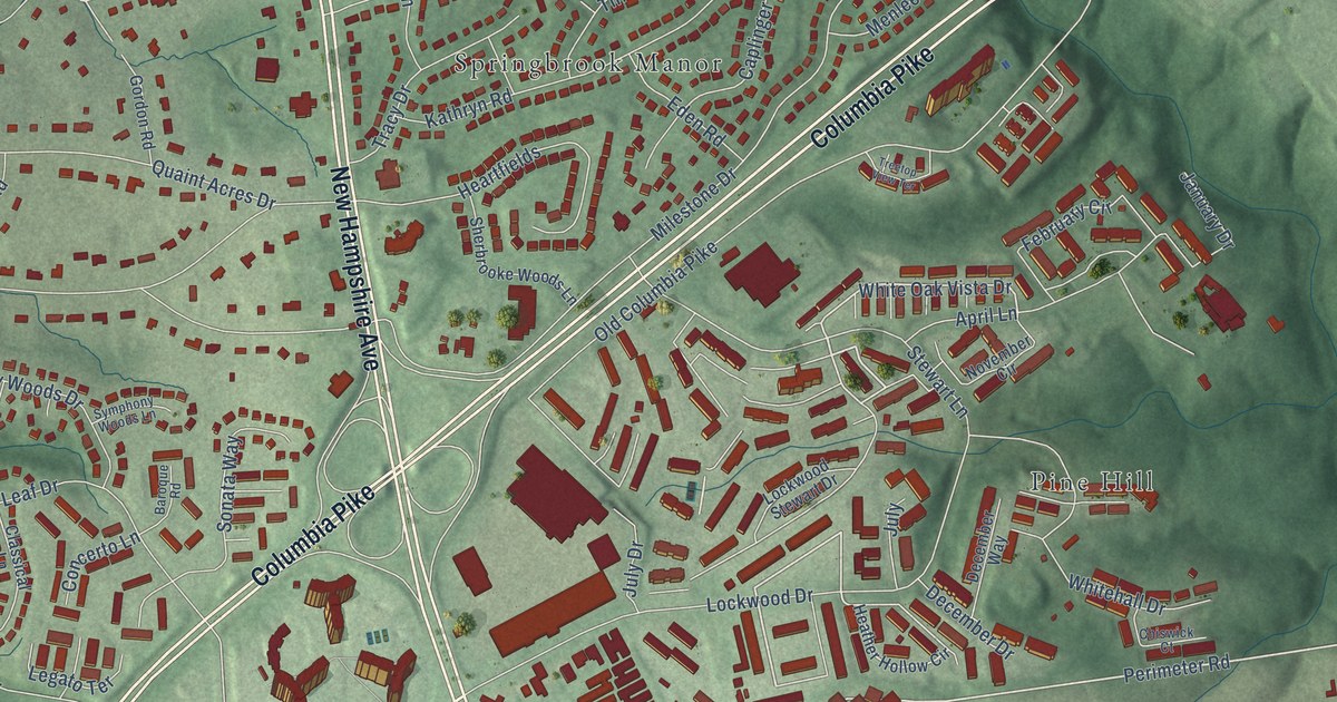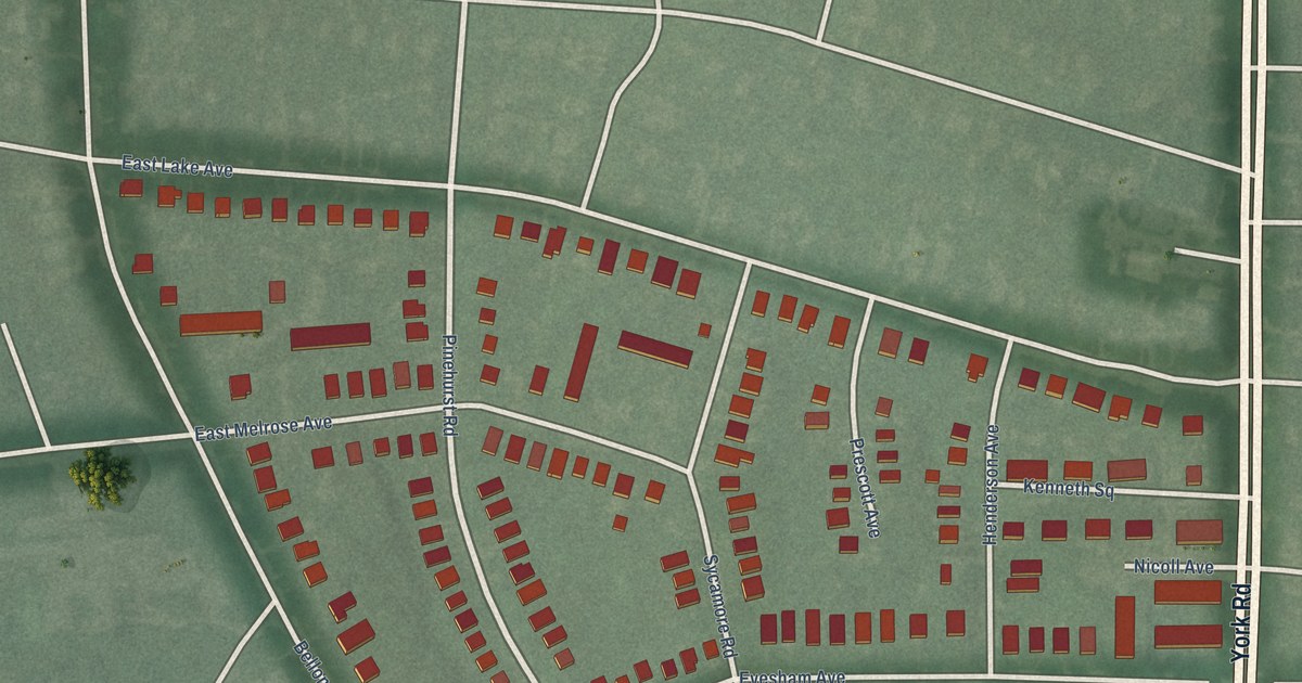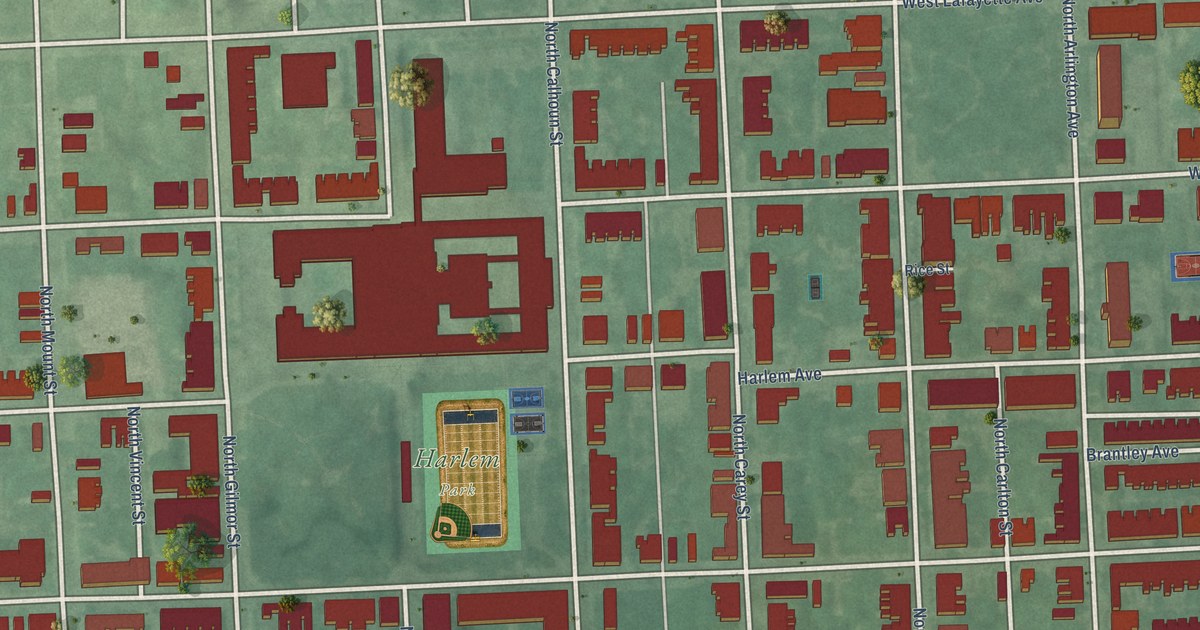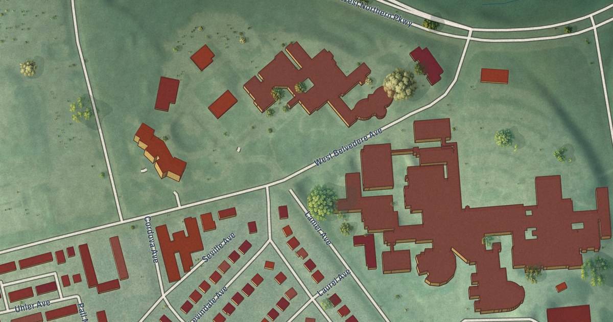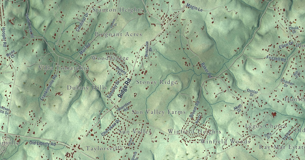
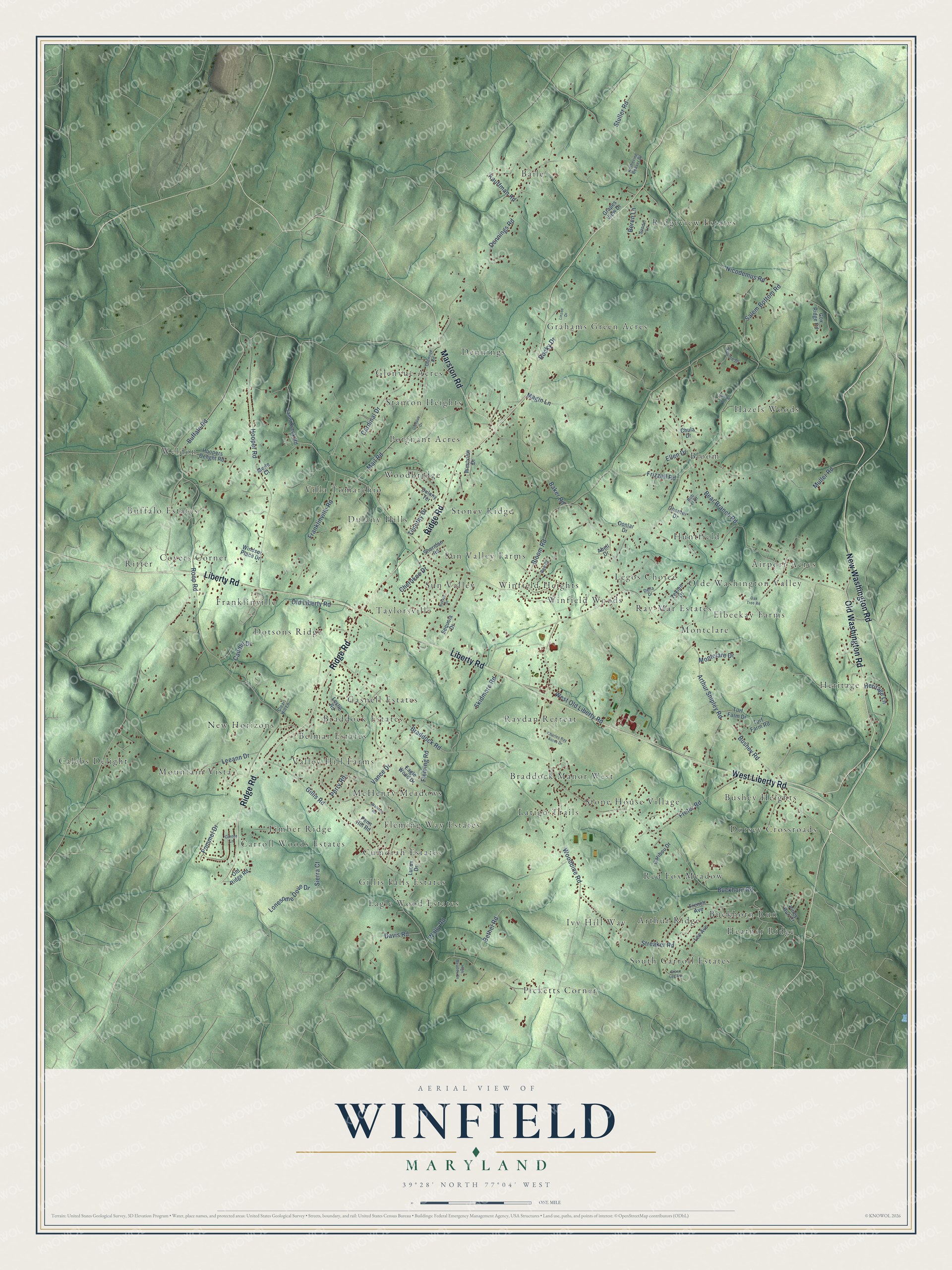
This beautifully detailed map of Winfield, Maryland was created in 2026 using aerial imagery combined with modern topographical, census, street and landmark data. It’s a one-of-a-kind view of Winfield that combines accurate data with a vintage aesthetic. The map shows every building in its true location, many of the roads carry their names, and the shaded topographic relief shows the shape of the land.
Explore an aerial view of Winfield, Maryland
On the map you’ll find Ridgeview Estates, Calebs Delight, Picketts Corner, Buffalo Estates, Glenvue Acres, Olde Washington Valley, Heather Ridge, New Horizons, Villa Tomarchio, Hazels Woods, Dorsey Crossroads, Legos Choice, and more. If you look closely you can even find your house accurately drawn in its correct location. Zoom in on the preview to look for yours.
Take a closer look at the Winfield map
Names on this map
These names are printed on this map.
Places: Ridgeview Estates, Calebs Delight, Picketts Corner, Buffalo Estates, Glenvue Acres, Olde Washington Valley, Heather Ridge, New Horizons, Villa Tomarchio, Hazels Woods, Dorsey Crossroads, Legos Choice, Latigo Trails, Taylorsville, Grahams Green Acres, Timber Ridge, Cumorah Estates, Ivy Hill Way, Woodbridge, Winfield Heights, Heritage, Gasnell Estates, Raydan Retreat, Huntfield, Weldon, Sun Valley, Stone House Village, Baile, McHenry Meadows, Bloom, Covers Corner, Mountain Vista, Franklinville, South Carroll Estates, Red Fox Meadow, Dennings, Eagle Wood Estates, Dulany Hills, Elbeekay Farms, Braddock Manor West, Montclare, Valley Hill Farms, Bushey Heights, Buckhorn Run, Carroll Woods Estates, Braddock Estates, Arthur Ridge, Poignant Acres, Winfield Woods, Belmar Estates, Ray-Mar Estates, Dotsons Ridge, Fleming Way Estates, Stoney Ridge, Airport Acres, Gillis Falls Estates, Ritter, Sun Valley Farms and Stanton Heights.
Streets and roads: Ridge Road, Old Washington Road, Liberty Road, West Liberty Road, New Washington Road, Marston Road, West Old Liberty Road, Old Liberty Road, Salem Bottom Road, Gillis Road, Roop Road, Bloom Road.
More street names, A to Z
Abell Drive, Arthur Shipley Road, Baker Road, Bear Branch Road, Bee Court, Beren Lane, Bethel Road, Bob el Drive, Braddock Road, Buckhorn Road, Buffalo Road, Bushey Road, Cantee Lane, Cardinal Drive, Caribou Drive, Caudle Drive, Chanter Drive, Charles Ray Acres Drive, Cherokee Drive, Chula Drive, Clear Hill Lane, Cox Ridge Road, Davis Road, Della Drive, Dennings Road, Donlar Drive, Dulany Terrace, Eagle Wood Drive, Ellen Drive, Equine Drive, Fleming Road, Franklinville Road, French Avenue, Freter Road, Frizzell Road, Glenvue Drive, Glenvue Road, Grace Lee Avenue, Grapes View Drive, Heritage Lane, High Meadow Drive, Hooper Road, Hoopers Delight Road, Katherine Beaver Drive, Kauffman Road, Leeann Drive, Lee Avenue, Leslie Road, Linzee Drive, Lonesome Dove Drive, Lucus Drive, Magin Lane, Mail Road, Merle Court, Montclare Drive, Muller Road, Navajo Drive, Nicodemus Road, Oak Tree Road, Old Ridge Road, Penn Hill Road, Perry Road, Piney Run Court, Pommel Drive, Rocky Drive, Sams Creek Road, Sandel Lane, Sandie Drive, Sequoia Drive, Sharidan Road, Sierra Court, Skidmore Road, Streaker Road, Stuller Road, Teklen Drive, Timothy Drive, Turf Farm Drive, Turf Farm Road, Vance Drive, Wally Road, Walston Road, Westview Drive, Windsor Place Drive, Woodbine Road.
See it on a wall
The Winfield map as a framed print. Swipe for more.


This beautifully detailed map of Winfield makes an attractive addition to your office, library, or den, and it can even be used to teach children the geography and history of the area. It also makes a great gift for someone who left Winfield and still calls it home. When you’re done exploring, click here to get your copy of the Winfield map.