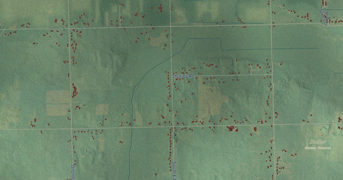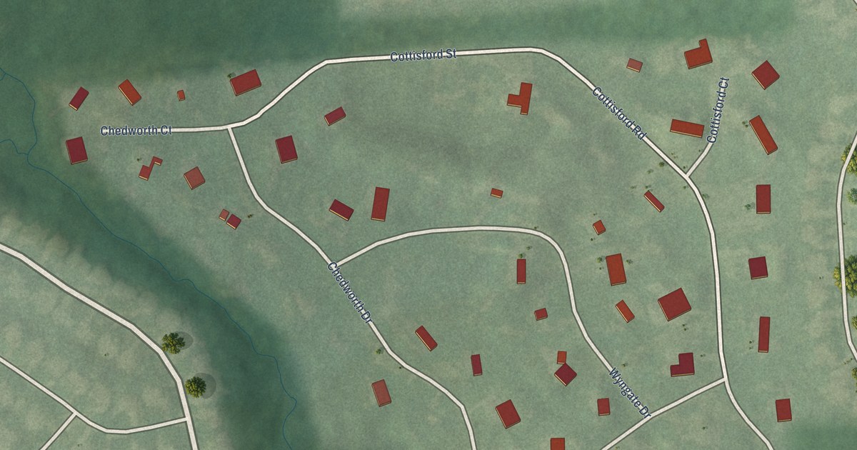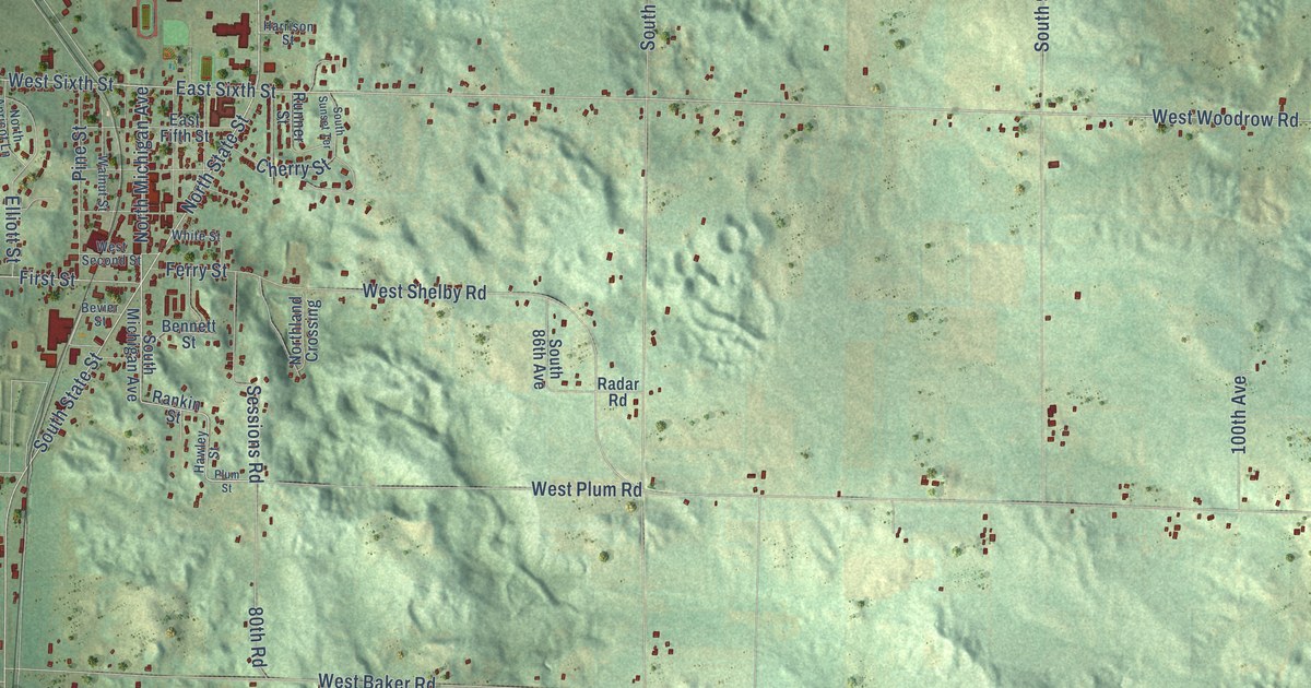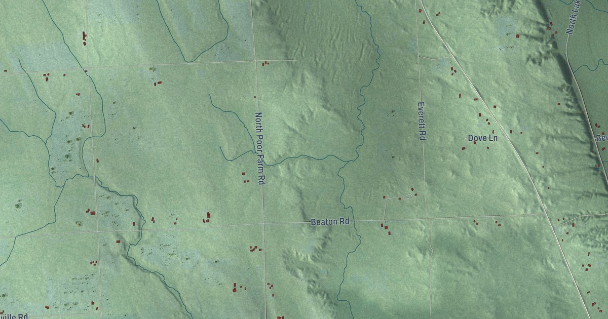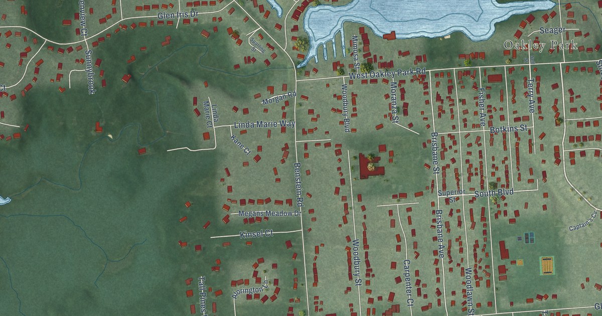
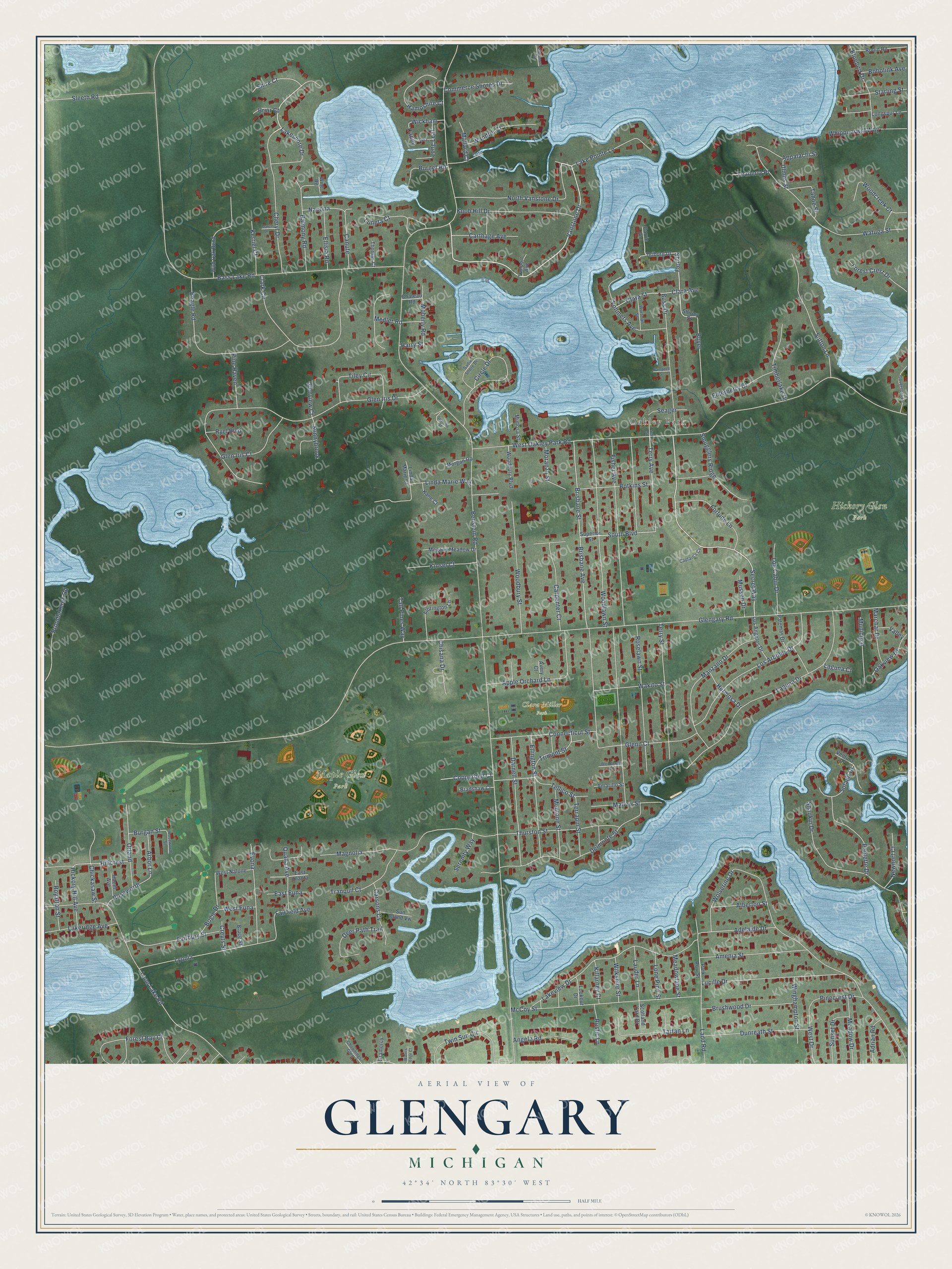
This beautifully detailed map of Glengary, Michigan was created in 2026 using aerial imagery combined with modern topographical, census, street and landmark data. It’s a one-of-a-kind view of Glengary that combines accurate data with a vintage aesthetic. The map shows every building in its true location, many of the roads carry their names, and the shaded topographic relief shows the shape of the land.
Explore an aerial view of Glengary, Michigan
On the map you’ll find Oakley Park, Clara Miller Park, Hickory Glen Park, Maple Glen Park, and Shirley, along with Benstein Road, Vanstone Drive, Lakeshore Drive, Buss Drive, Secret Way, Terry Avenue, Forest Bay Court, and more. If you look closely you can even find your house accurately drawn in its correct location. Zoom in on the preview to look for yours.
Take a closer look at the Glengary map
Names on this map
These names are printed on this map.
Places: Oakley Park, Clara Miller Park, Hickory Glen Park and Maple Glen Park.
Streets and roads: Benstein Road, Vanstone Drive, Lakeshore Drive, Buss Drive, Secret Way, Shirley, Terry Avenue, Forest Bay Court, Glengary Road, West Oakley Park Road, Bass Lake Road, Woodlawn Street.
More street names, A to Z
Adelaide Drive, Adrian Road, Alberton Street, Alorington Lane, Amarillo Street, Amenia Street, Angela Road, Appalachi Street, Apple Orchard Lane, Arbor Lane, Avery Court, Balmony Road, Beagle Road, Bluebird Drive, Bobolink Avenue, Bogie Drive, Botkins Street, Boyer, Bradshaw Court, Briar Court, Brisbane Avenue, Brisbane Street, Bruce Street, Brushwood Drive, Burgan Street, Burnet Road, Campbell Street, Caney, Canute, Captain's Cv, Carpenter Court, Carrie Lane, Carsons Cv, Carthage Avenue, Chateau Road, Cheryl Drive, Chickasaw Street, Chisana Drive, Chownings Glen, Circle Drive, Clara Avenue, Clara Street, Clark Circle, Commerce Shores Drive, Connecticut Street, Copperbell Court, Creyts Street, Curtin Drive, Darnell Street, Deer Path Trail, Delmonte Street, Driburg Drive, Dunreath Street, East Euna, East Olanta, Elderberry Court, Ellington Street, Ellisia Road, Evona, Fairbury Street, Fairfield Avenue, Fisher Avenue, Forest Crest Drive, Fortune Lane, Glen Iris Court, Glen Iris Drive, Glenn Court, Glenview Court, Governors Lane, Gramercy, Hampshire Court, Harry Street, Hazel Avenue, Hermosa Drive, Hickory Hill Avenue, Hillcrest, Kane Court, Kerriel Court, Killarney Court, Kinsel Court, Knob Hill Drive, Ladd Road, Laguna Court, Laguna Drive, Lake Pointe Lane, Lakeridge Avenue, Lakeview Drive, Lauder Lane, Linda Marie Court, Linda Marie Way, Log Cabin Drive, Lone Pine Street, Long Leaf, Longspur Lane, Lookout Drive, Loon Lake Road, Los Angeles Drive, Los Arboles Drive, Lucille Drive, Luneta Court, Lyka, Lyonia, Magnolia, Mallard Court, Mallow Street, Manzano Drive, Marc Drive, Marchar Drive, McCoy Street, Meadow Drive, Meadowlane Street, Medler Road, Megans Meadow Drive, Mentone Street, Mimosa Street, Moberly Road, Moranza Street, Morgan Road, Municipal, Mussen Drive, Nacona, Newport Court, North Vanstone Drive, Oakview Drive, Orland, Palomas Drive, Park Row Street, Paulette Drive, Pinecrest Drive, Pine Haven, Proudlakerec Road, Qualla Avenue, Ridgemont Street, Robin Road, Roselawn Street, Roseworth, Roseworth Street, Royalton Street, Rustic Lane, Ryel Boulevard, Sadie Shore Drive, Scotland Yard Drive, Seager, Sell Street, Serenity Way, Shankin Drive, Shire Court, Shirley Street, Sleeth Road, Smugglers Ridge, Solano Drive, South Boulevard, Sparling Street, Starling Street, Sun Island Vw, Sunnybrook, Sunset Drive, Superior Street, Sutton Lane, Tahoe Street, Tall Pines Way, Tartan Lane, Teaberry Place, Tellico Street, Terrapin Street, Terry Street, Thomas Court, Thurston Street, Tiley Circle, Timberlake Drive, Tranquil Court, Trimont Street, Twin Sun Circle, Ulmus Street, Valley, Vanport Avenue, Ventura Drive, Vollmers Avenue, Wakito Street, Wandrei Court, Waters Edge Court, Watuga Street, West Drive, West Euna, West Nalone, Whippoorwill Way, Wickham, Wild Oak Bend, Wilkshire Street, Winghampton Street, Wint Road, Wolverine Drive, Woodbury Boulevard, Woodbury Street, Woodcreek Court, Woodlawn Court, Wortman Street.
See it on a wall
The Glengary map as a framed print. Swipe for more.


This beautifully detailed map of Glengary makes an attractive addition to your office, library, or den, and it can even be used to teach children the geography and history of the area. It also makes a great gift for someone who left Glengary and still calls it home. When you’re done exploring, click here to get your copy of the Glengary map.