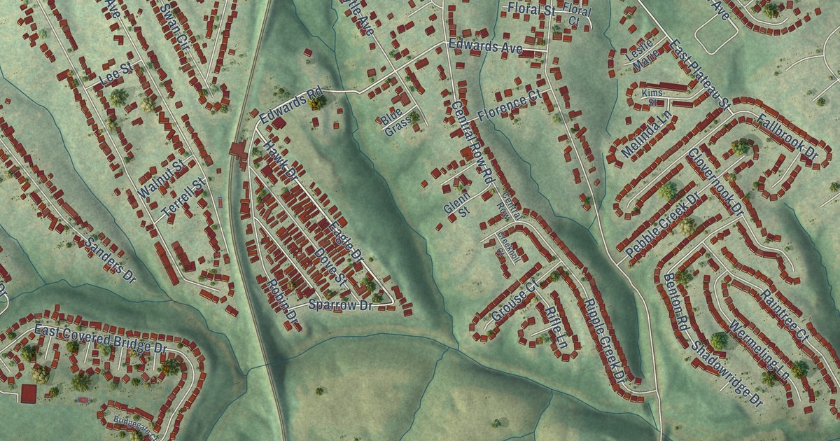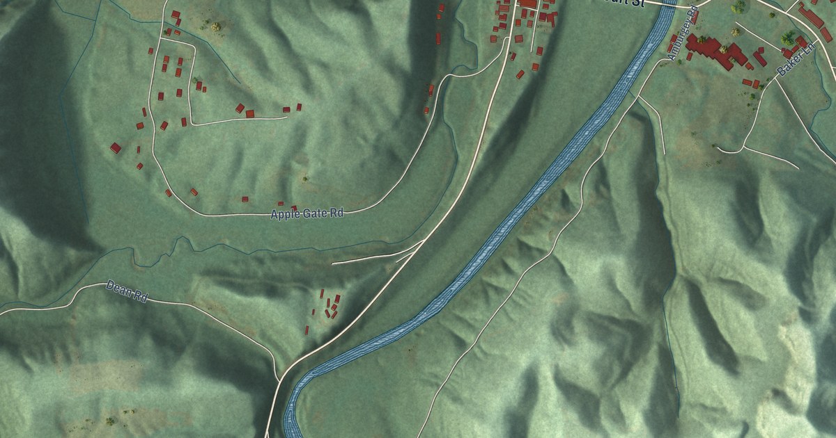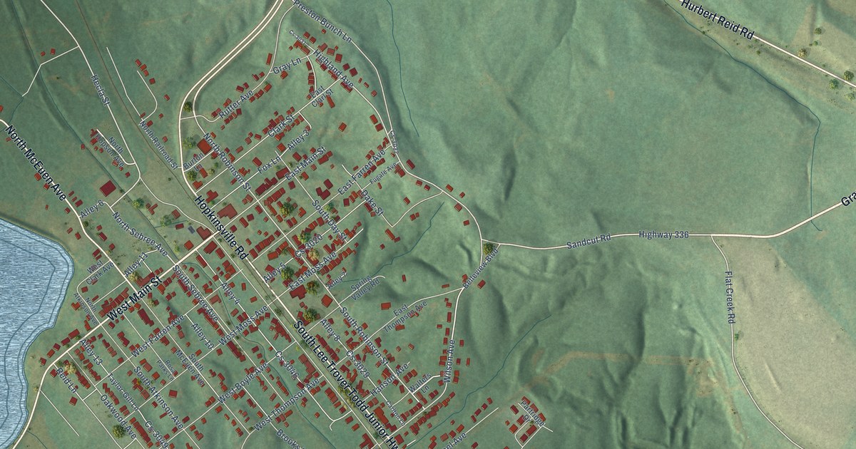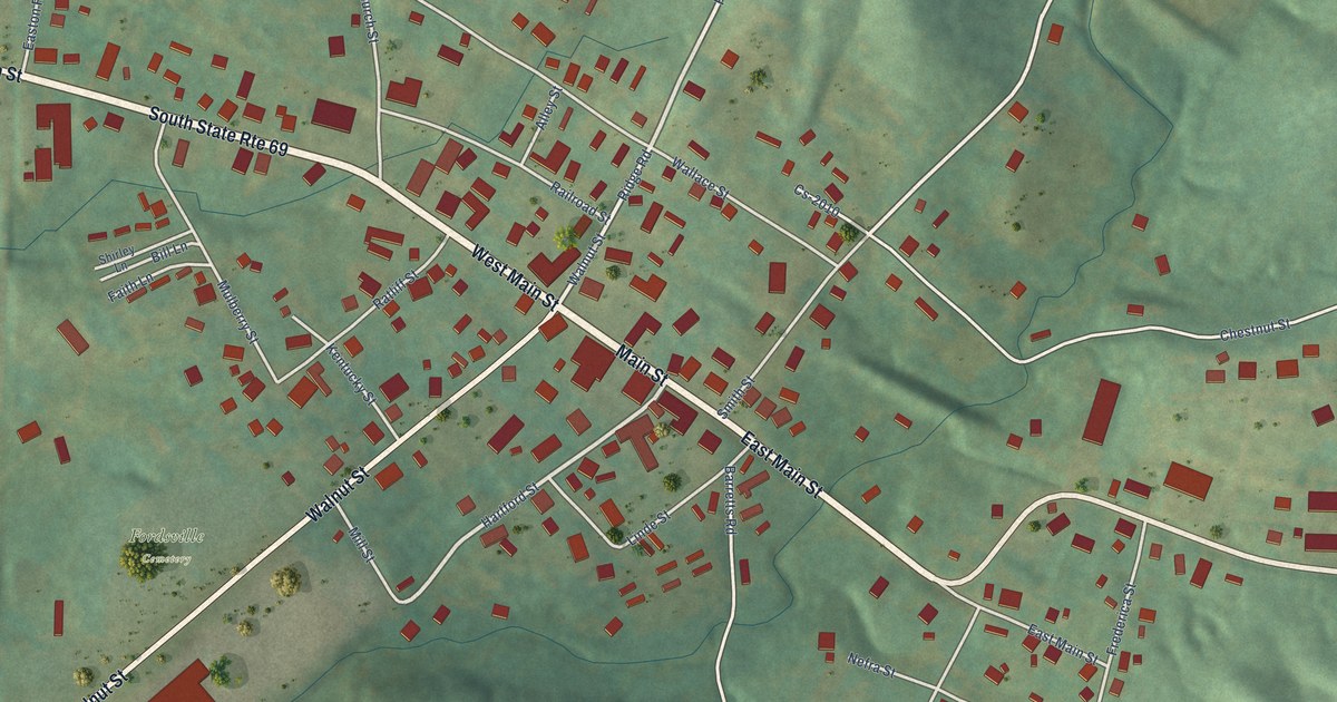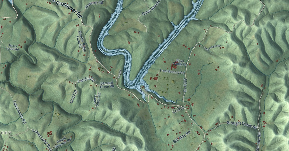
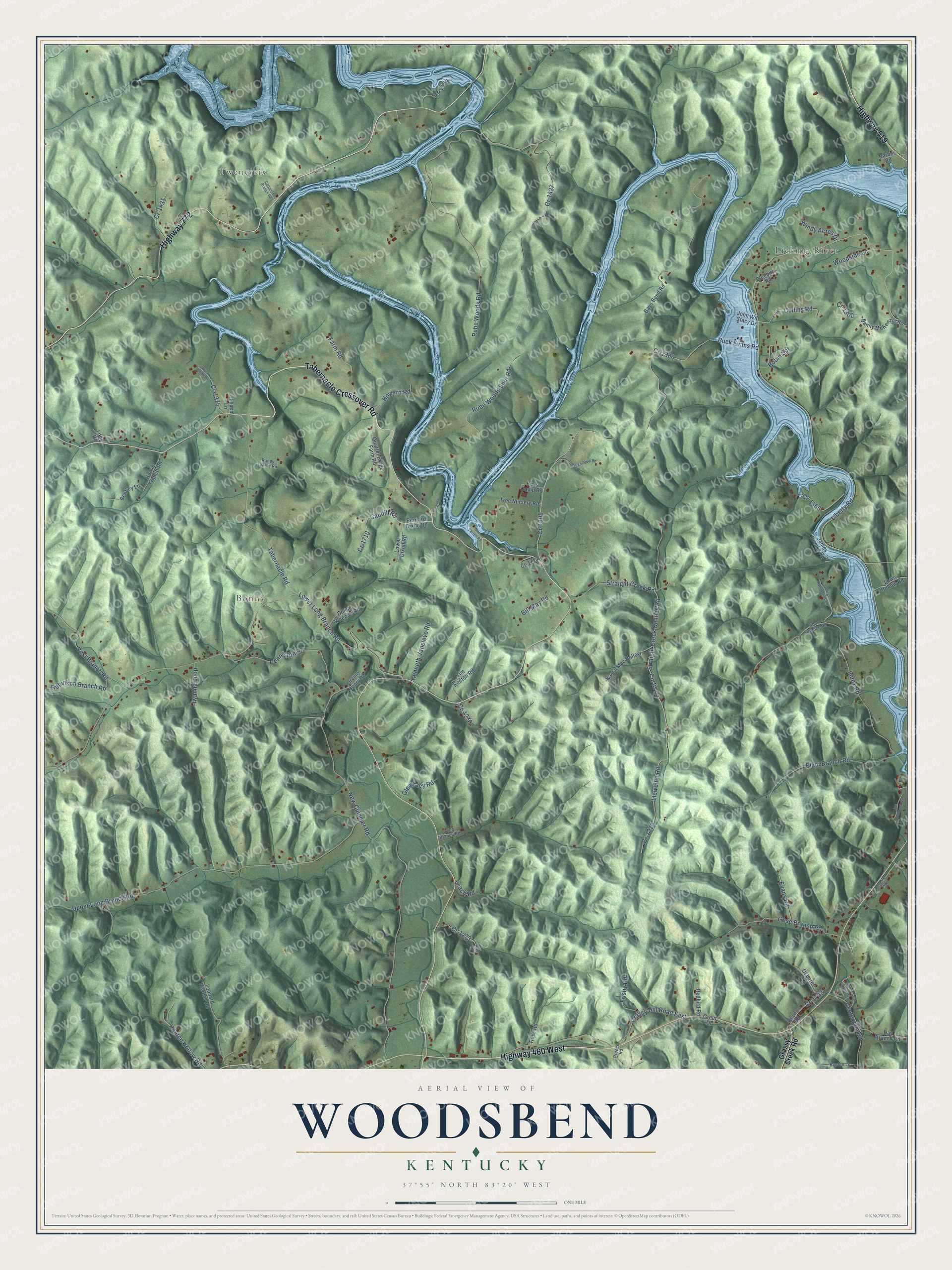
This beautifully detailed map of Woodsbend, Kentucky was created in 2026 using aerial imagery combined with modern topographical, census, street and landmark data. It’s a one-of-a-kind view of Woodsbend that combines accurate data with a vintage aesthetic. The map shows every building in its true location, many of the roads carry their names, and the shaded topographic relief shows the shape of the land.
Explore an aerial view of Woodsbend, Kentucky
On the map you’ll find Licking River, Twentysix, Bonny, and Cr-1305, along with Tabernacle Crossover Road, Highway 772, Highway 460 West, Highway 519, Index Road, Straight Creek Canney Road, Caudill Road, Lower Long Branch Road, and more. If you look closely you can even find your house accurately drawn in its correct location. Zoom in on the preview to look for yours.
Take a closer look at the Woodsbend map
Names on this map
These names are printed on this map.
Places: Licking River, Twentysix and Bonny.
Streets and roads: Tabernacle Crossover Road, Highway 772, Highway 460 West, Highway 519, Index Road, Straight Creek Canney Road, Caudill Road, Cr-1305, Lower Long Branch Road, Liberty Road, Rube Woods Spur Road, New Cummer Road.
More street names, A to Z
Asa Kemplin Road, Barber Road, Bays Bend Road, Bentley Lane, Benton Lane, Bernard Dixon Road, Bill Fannin Road, Bill May Road, Bluebird Road, Boys Camp Road, Buck Evans Road, Carpenter Branch Road, Cecil Branch Road, Centerville Road, Collins Road, Cr-1270, Cr-1273, Cr-1279, Cr-1300, Cr-1301, Cr-1304, Cr-1375, Cr-1431, Cr-1437, Cr-1466, Cr-1468, Cr-1474, Cr-1710, Cr-1713, Cr-1732, Cruey Road, Curtis Lane, Danny McKenzie Road, Day Branch Road, Denniston Road, Densil Wheeler Road, Elam Branch Road, Elam Lane, Evans Road, Farm Road, Frisby Road, George Hammonds Road, Glen Lacy Road, Gose Branch Road, Grassy Creek Road, Grassy Hill Road East, Greer Drive, Hooten Hollow Road, Hoover Triplett Road, Howard Road, Iwanna Loop, James Brooks Road, Joe Holbrook Road, Joe Terrell Road, John Will Stacy Drive, Karen Mae Hollow, Kenneth Vancleve Road, Leach Lane, Leach Road, Leonard Havens Road, Llewellin Road, Long Road, Lowe Hollow Road, Lower Dixon Road, Orville Henry Road, Osborne Lane, Preece Road, Quarter Ridge Farm Road, Raney Lykius Road, Redbird Road, Revis Road, Robinson Branch Road, Robin Spr, Ross Road, Rube Woods Road, Short Branch Road, Straight Creek Road, Tabernacle Road, Tim Keeton Road, Tree Nursery Road, Upper Long Branch Road, Vest Branch Road, Windy Acres Drive, Woodside Lane, Wyck Smith Road.
See it on a wall
The Woodsbend map as a framed print. Swipe for more.


This beautifully detailed map of Woodsbend makes an attractive addition to your office, library, or den, and it can even be used to teach children the geography and history of the area. It also makes a great gift for someone who left Woodsbend and still calls it home. When you’re done exploring, click here to get your copy of the Woodsbend map.