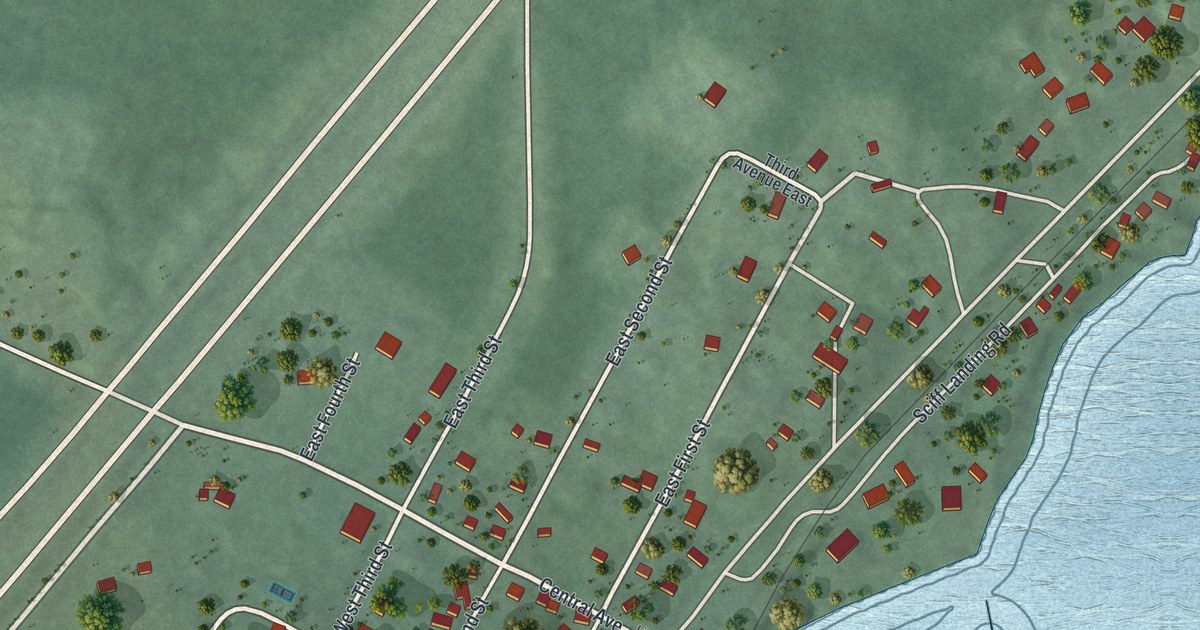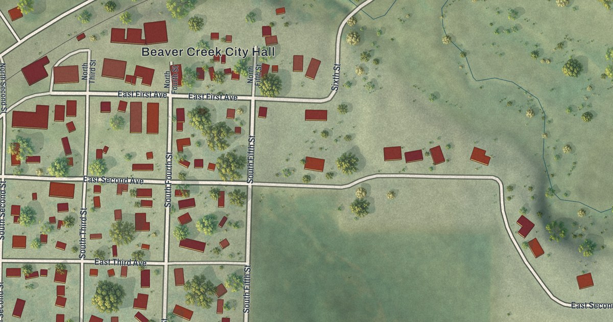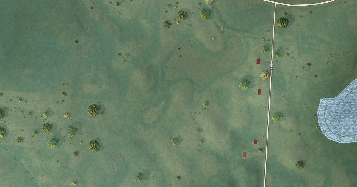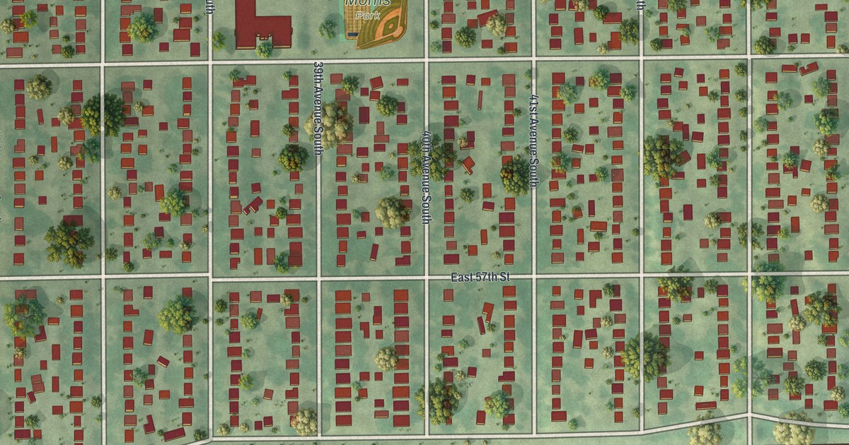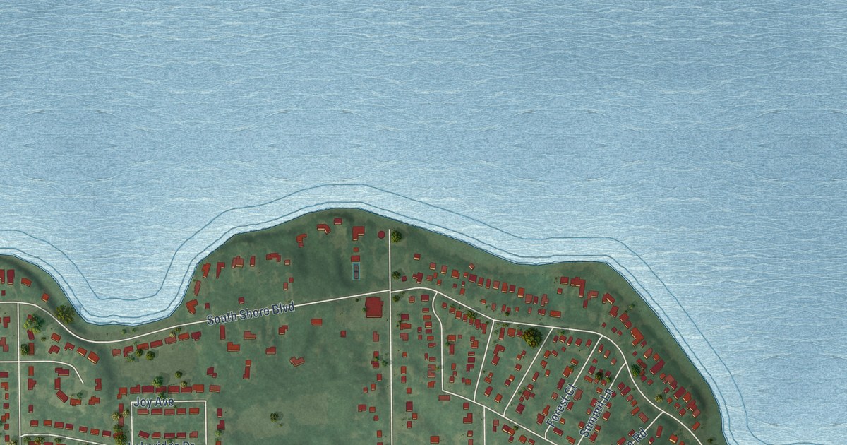
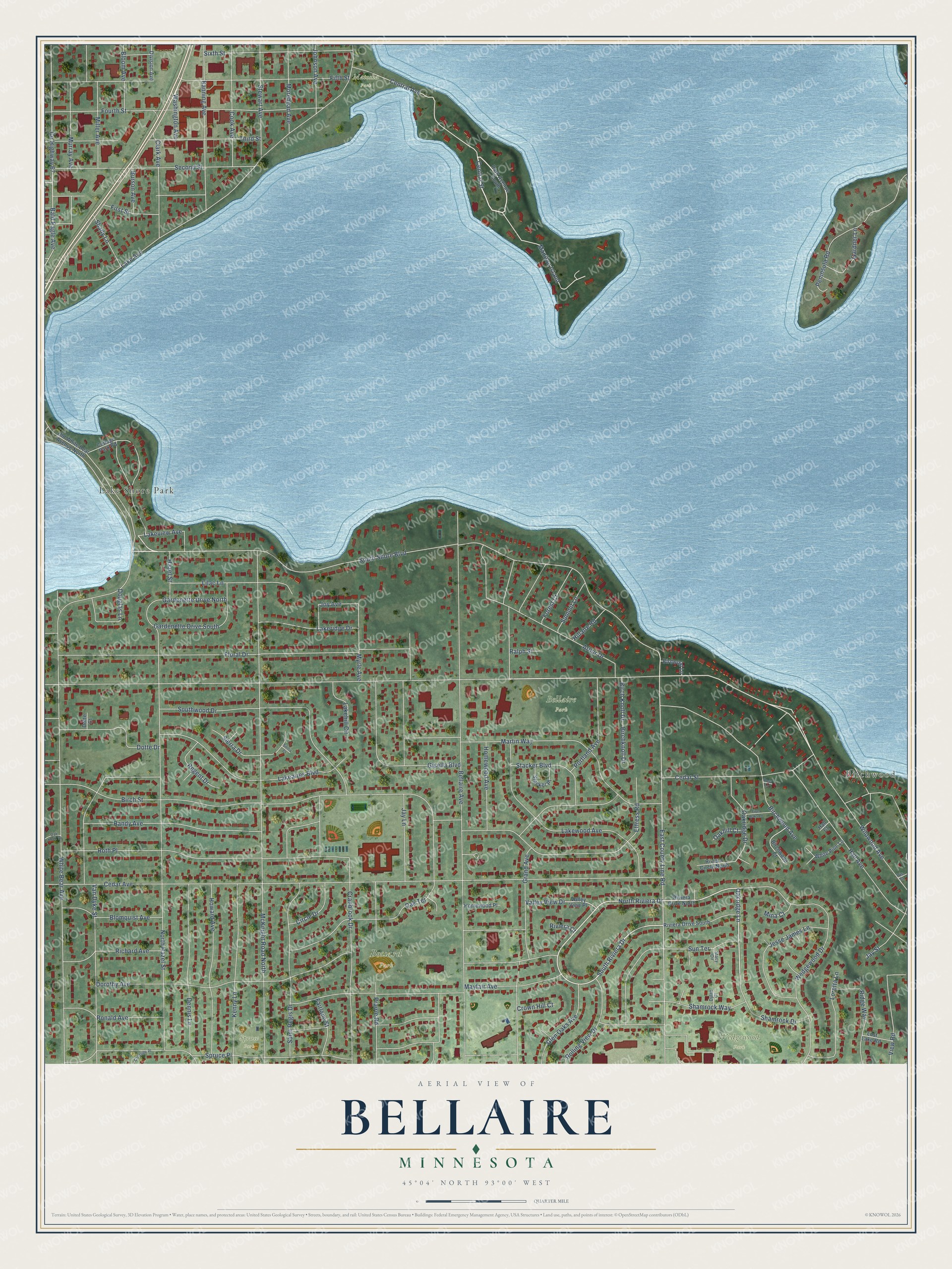
This beautifully detailed map of Bellaire, Minnesota was created in 2026 using aerial imagery combined with modern topographical, census, street and landmark data. It’s a one-of-a-kind view of Bellaire that combines accurate data with a vintage aesthetic. The map shows every building in its true location, many of the roads carry their names, and the shaded topographic relief shows the shape of the land.
Explore an aerial view of Bellaire, Minnesota
On the map you’ll find Birchwood, Bossard Park, Wedgewood Park, Bellaire Park, Matoska Park, Spruce Park, Lake Shore Park, and Manitou Island, along with South Shore Boulevard, North Riviera Drive, Oakridge Lane, South Riviera Drive, and more. If you look closely you can even find your house accurately drawn in its correct location. Zoom in on the preview to look for yours.
Take a closer look at the Bellaire map
Names on this map
These names are printed on this map.
Places: Birchwood, Bossard Park, Wedgewood Park, Bellaire Park, Matoska Park, Spruce Park and Lake Shore Park.
Streets and roads: South Shore Boulevard, North Riviera Drive, Oakridge Lane, South Riviera Drive, Manitou Island, Central Street, Wildwood Avenue, White Bear Avenue, Cedar Avenue, Bellaire Avenue, McKnight Road North, Lake Avenue.
More street names, A to Z
Arbor Drive, Bald Eagle Avenue, Banning Avenue, Birch Knoll Drive, Birchknoll Drive, Birch Street, Birchwood Avenue, Birchwood Court, Birdwood Lane, Blomquist Avenue, Bloom Avenue, Burson Avenue, Cedar Street, Central Avenue, Christine Place, Circle Drive, Clark Avenue, Cook Avenue, Cottage Park Road, County Highway 67, Cranbrook Drive, Crown Hill Court, Dennis Lane, Division Avenue, Dorothy Avenue, Dotte Court, Dotte Drive, Douglas Lane, Dylan Court, East County Line Road, Effress Road, Fairlane Street, Fifth Street, First Street, Five Oaks Lane, Floral Drive, Forest Court, Fourth Street, Gardenette Drive North, Gardenette Drive South, Gardner Lane, Gisella Boulevard, Glen Oaks Avenue, Grand Avenue, Hall Avenue, Hall Court, Hazel Street, Hillaire Road, Homewood Avenue, Homewood Place, Howard Avenue, Iris Street, Jay Lane, Jay Street, Jesse James Lane, Johnson Avenue, Joy Avenue, Kenny Lane, Lakeaires Boulevard, Lakehill Circle, Lakeridge Drive, Lakeview Avenue, Lakewood Avenue, Lilac Lane, Loretta Lane, Lost Lake Road, Martin Way, Mayfair Avenue, Miller Avenue, Mina Court, Morehead Avenue, Murray Avenue, Myrle Avenue, North Hazel Street, Oakhill Court, Oak Knoll Drive, Oakridge Drive, Oak Terrace, Old White Bear Avenue North, Park Avenue South, Peninsula Road, Portland Avenue, Prairie Road, Ralph Street, Randy Avenue, Regent Drive, Richard Avenue, Ridge Way, Riviera Circle North, Riviera Court, Riviera Drive North, Riviera Drive South, Rolling View Drive, Ronald Avenue, Rosa Lane, Roth Place, Saint Regis Drive, Second Street, Shady Lane, Shamrock Drive, Shamrock Way, Sierra Court, Sierra Drive, Sixth Street, Southwood Drive, Spruce Place, Stacker Boulevard, Stacker Place, Stacy Circle, Stewart Avenue, Summit Lane, Sun Terrace, Third Street, Valley View Drive, Valley View Place, Van Dyke Street, View Road, Washington Avenue, Wedgewood Drive, White Pine Lane.
See it on a wall
The Bellaire map as a framed print. Swipe for more.


This beautifully detailed map of Bellaire makes an attractive addition to your office, library, or den, and it can even be used to teach children the geography and history of the area. It also makes a great gift for anyone with Bellaire roots. When you’re done exploring, click here to get your copy of the Bellaire map.