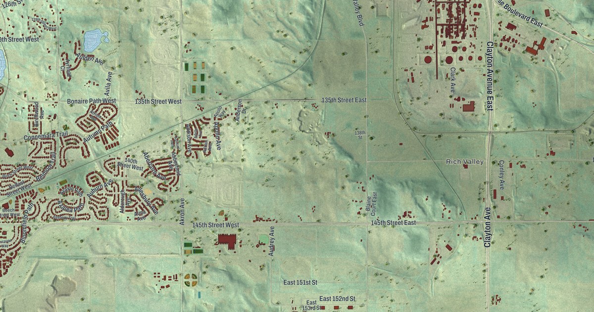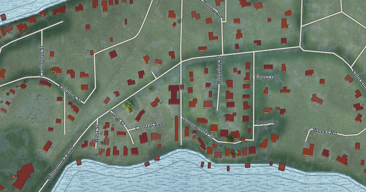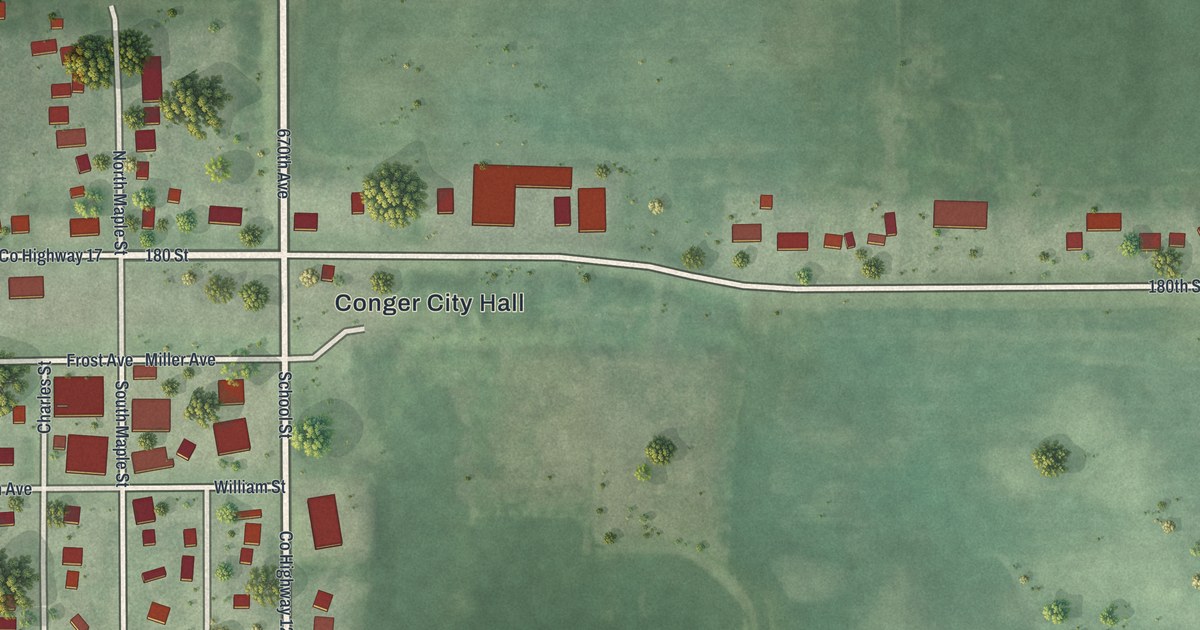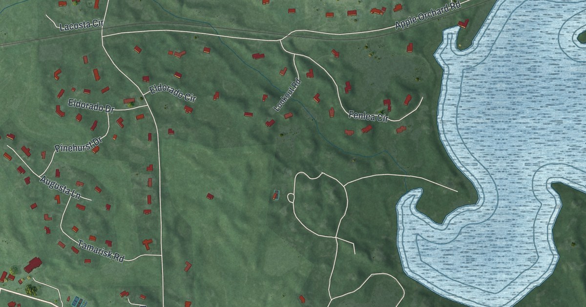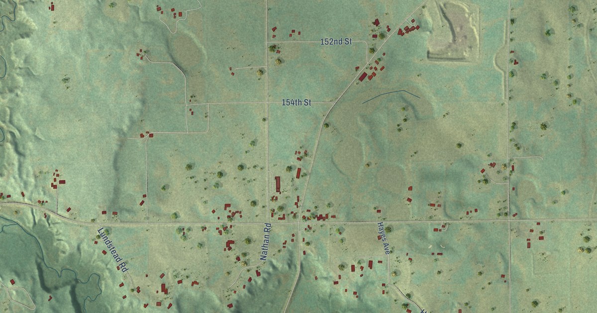
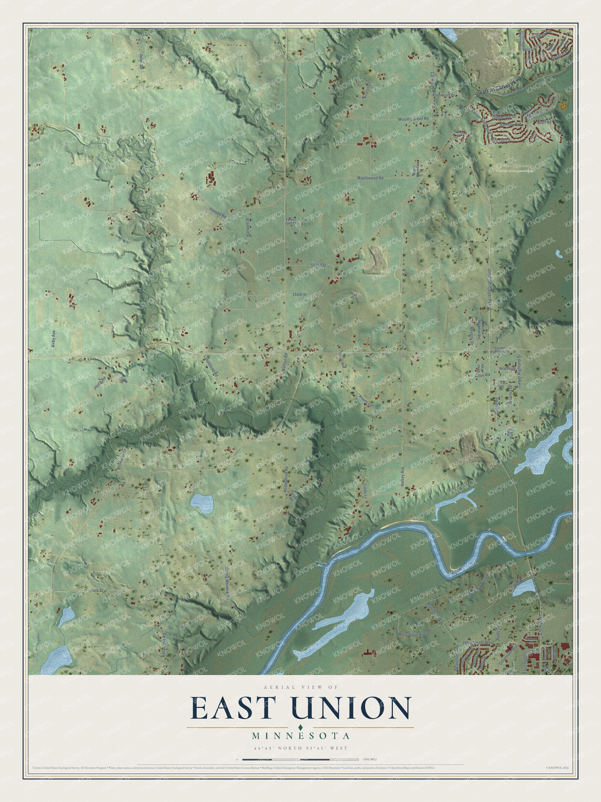
This beautifully detailed map of East Union, Minnesota was created in 2026 using aerial imagery combined with modern topographical, census, street and landmark data. It’s a one-of-a-kind view of East Union that combines accurate data with a vintage aesthetic. The map shows every building in its true location, many of the roads carry their names, and the shaded topographic relief shows the shape of the land.
Explore an aerial view of East Union, Minnesota
On the map you’ll find Carver Highlands Wildlife Management Area, along with Jonathan Carver Parkway, Gilfillan Avenue, 174th Street, Dutoit Road, Bluff Road, Beaumont Way, Maplewood Road, Halsey Avenue, Inwood Road, Homestead Road, Carver Bluffs Parkway, and more. If you look closely you can even find your house accurately drawn in its correct location. Zoom in on the preview to look for yours.
Did You Know?
Swedish immigrants settled here in 1854 after poling flatboats up the Minnesota River. They called their colony King Oscar’s Settlement. It later split into two parishes, East Union and West Union. In 1862, Gustavus Adolphus College opened in East Union. The school later moved to St. Peter.
East Union is a community in Carver County.
Take a closer look at the East Union map
Names on this map
These names are printed on this map.
Places: Carver Highlands Wildlife Management Area.
Streets and roads: Jonathan Carver Parkway, Gilfillan Avenue, 174th Street, Dutoit Road, Bluff Road, Beaumont Way, Maplewood Road, Halsey Avenue, Inwood Road, Homestead Road, Carver Bluffs Parkway, East Sioux Vista Drive.
More street names, A to Z
152nd Street, 154th Street, 159th Street, 180th Street West, 185th Street West, Adam Circle, Afton Road, Apple Circle, Beaumont Avenue, Beverly Drive, Bradbury Circle, Butternut Circle, Carmel Lane, Carver Creek Circle, Carver Creek Place, Carver Highland Drive, Carver Highlands Drive, Corporate Drive, Co Saint Aid Highway II, County Highway 9, Cove Road, Crosby Lane, Dakota Point, Delarma Drive, Ellen Way, Enterprise Drive, Ervin Industrial Boulevard, Forest Glen Drive, Foster Avenue, Fullerton Avenue, Green Meadow Circle, Hartwell Street, Hayes Avenue, Hayes Lane, Heather Drive, Heritage Trail, High Bluff Circle, Jennifer Lane, Joyce Road, Juliet Road, Kelly Lake Road, Kirby Avenue, Kristin Lane, Lochaven Road, Lodge Drive, Lundstead Road, Main Street West, Maple Wood Road, Mount Carmel Road, Nathan Road, Ninth Street, Overlook Drive, Pine Cone Lane, Pinewood Drive, Quaker Avenue, Ramsey Avenue, Ramsey Bay, Ramsey Circle, Rebecca Drive, Ridgecrest Drive, Riesgraf Road, Spring Meadow Lane, West Fourth Street, West Sioux Vista Drive, Woodsview Lane.
See it on a wall
The East Union map as a framed print. Swipe for more.


This beautifully detailed map of East Union makes an attractive addition to your office, library, or den, and it can even be used to teach children the geography and history of the area. It also makes a great gift for someone who left East Union and still calls it home. When you’re done exploring, click here to get your copy of the East Union map.