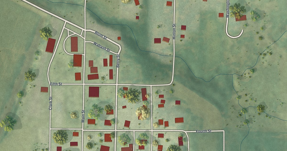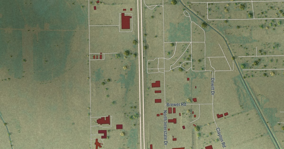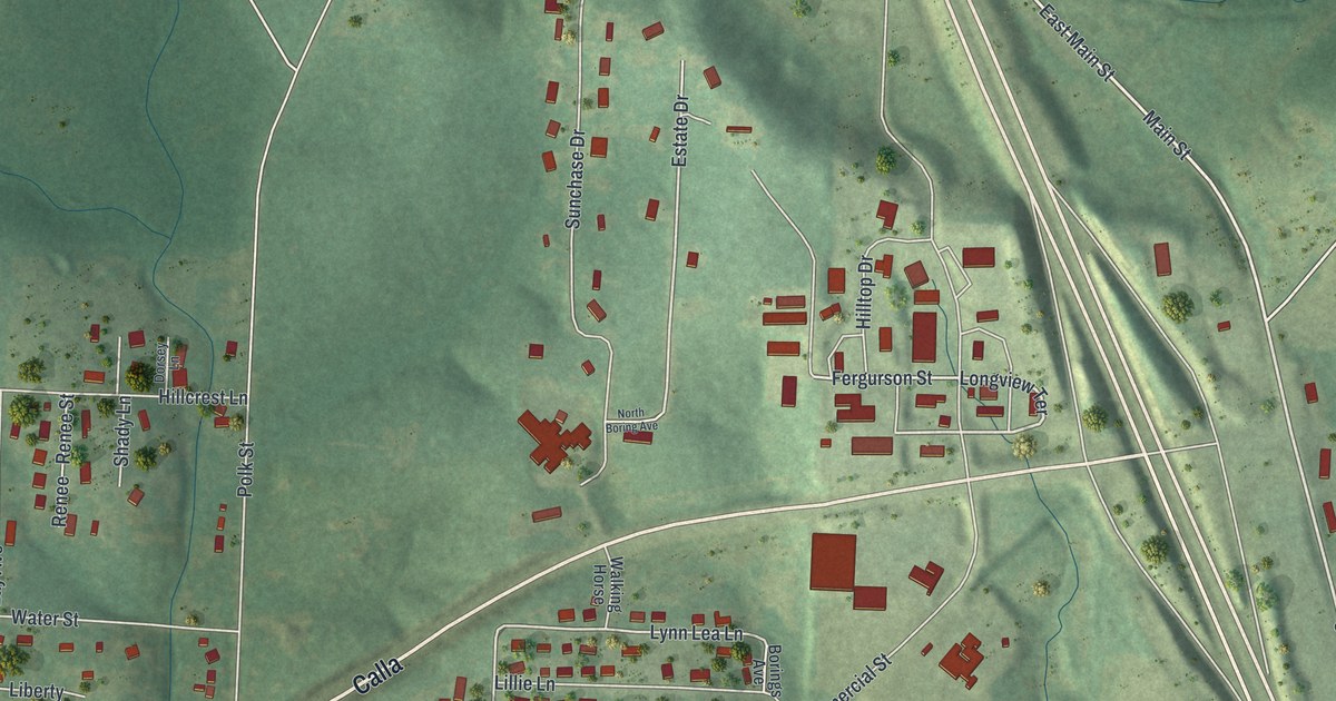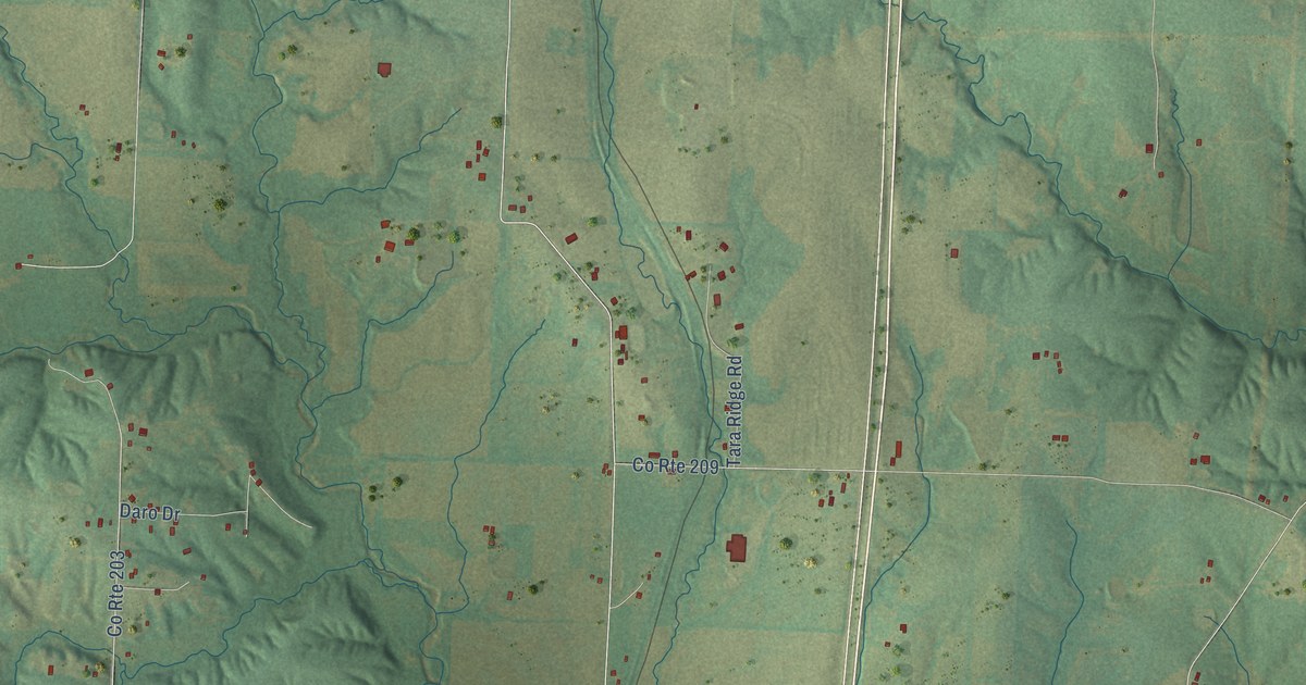
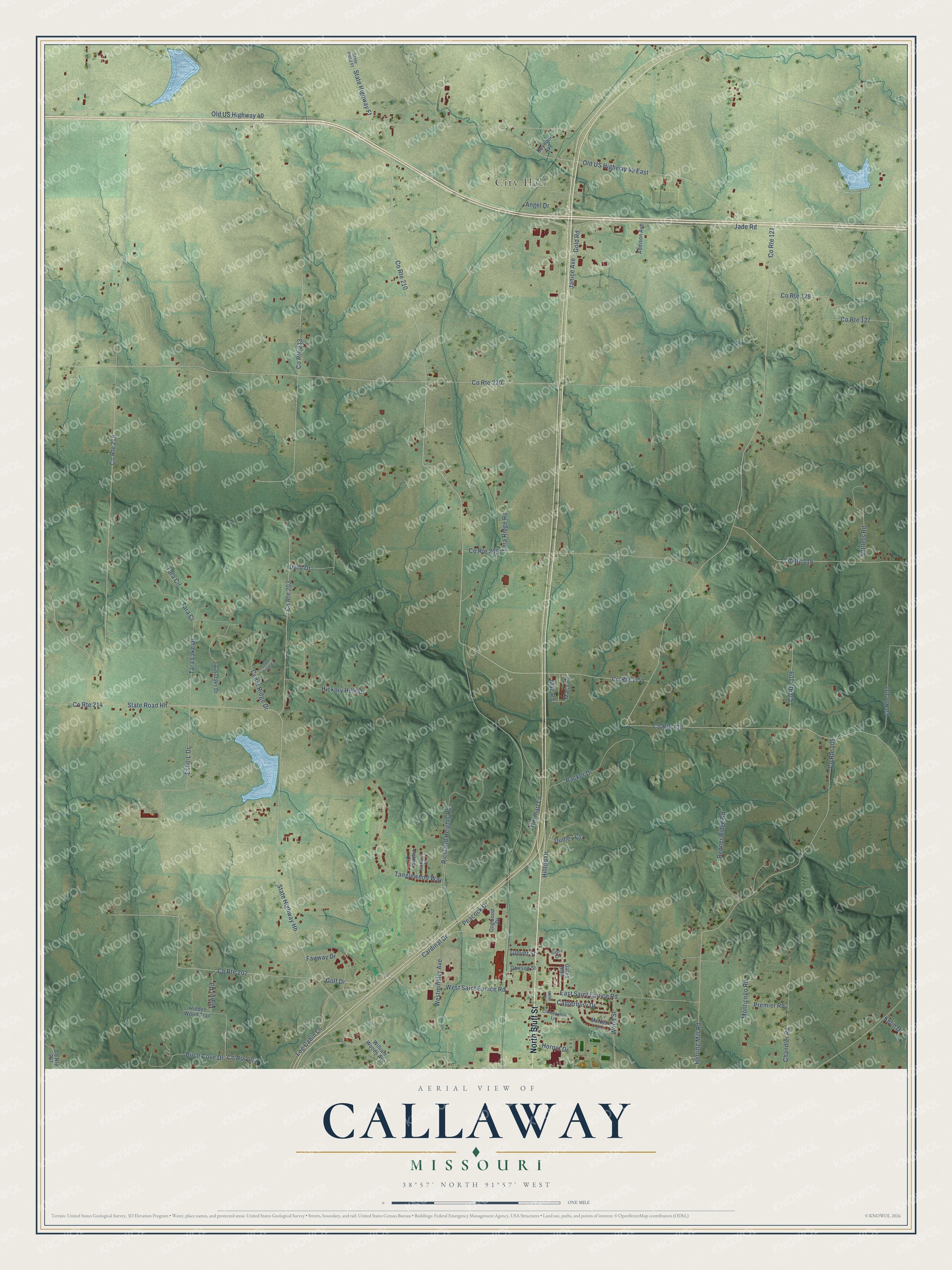
This beautifully detailed map of Callaway, Missouri was created in 2026 using aerial imagery combined with modern topographical, census, street and landmark data. It’s a one-of-a-kind view of Callaway that combines accurate data with a vintage aesthetic. The map shows every building in its true location, many of the roads carry their names, and the shaded topographic relief shows the shape of the land.
Explore an aerial view of Callaway, Missouri
On the map you’ll find City Hall, Macs Place, and Old US Highway 40 East, along with North Bluff Street, Jade Road, Birch Cove Drive, Old US Highway 40, State Highway Hh, State Road Hh, Richland Heights Road, Cardinal Drive, East Saint Eunice Road, and more. If you look closely you can even find your house accurately drawn in its correct location. Zoom in on the preview to look for yours.
Did You Know?
From Internet Archive: "Thomas Miller, who came to Callaway county from Kentucky in 1826, laid off the town of Millersburg, and named it for Millersburg, Kentucky."
Callaway is a community in Callaway County.
Take a closer look at the Callaway map
Names on this map
These names are printed on this map.
Places: City Hall.
Streets and roads: North Bluff Street, County Route 210, Jade Road, Birch Cove Drive, Macs Place, Old US Highway 40, State Highway Hh, State Road Hh, County Route 121, County Route 215, County Route 220, Richland Heights Road.
More street names, A to Z
Addison Avenue, Angel Drive, Backer Drive, Baynum Avenue, Canterbury Drive, Cardinal Drive, Cedar Ridge Court, Cedar Ridge Drive, Chandler Road, Christopher Lane, County Route 105, County Route 107, County Route 109, County Route 114, County Route 116, County Route 118, County Route 127, County Route 128, County Route 202, County Route 203, County Route 204, County Route 207, County Route 209, County Route 213, County Route 214, Daro Drive, Dawson Street, Dogwood Drive, Dudley Court, East Saint Eunice Road, Echo-L Drive, Fairway Drive, Gates Boulevard, Glover Street, Gold Road, Golf Drive, Haymart Lane, Herring Mill Road, Hickory Hills Drive, Hidden Wood Trail, Hilltop Drive, Hornet Drive, Janice Avenue, Kelin Drive, Log Cabin Lane, Mac Road, McNeal Lane, Miller Drive, Monticello Road, Nicklaus Court, Old US Highway 40 East, Palmer Court, Peacock Drive, Premier Road, Renner Ridge Road, Sabre Circle, Settlers Road, State Highway Ff, State Road Ff, Tanglewood Way, Tara Circle, Tara Court, Tara Lake Drive, Tara Ridge Road, Tower Road, Twin Oaks Drive, Westminster Avenue, West Saint Eunice Road, William Woods Avenue, Wood Street.
See it on a wall
The Callaway map as a framed print. Swipe for more.


This beautifully detailed map of Callaway makes an attractive addition to your office, library, or den, and it can even be used to teach children the geography and history of the area. It also makes a great gift for anyone with Callaway roots. When you’re done exploring, click here to get your copy of the Callaway map.