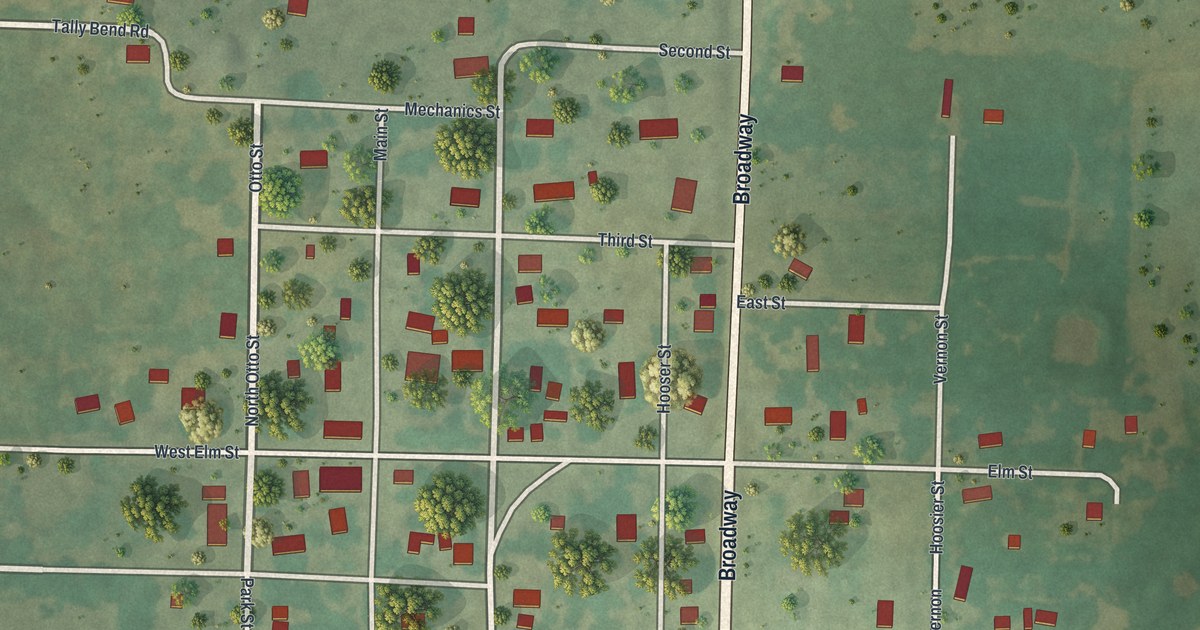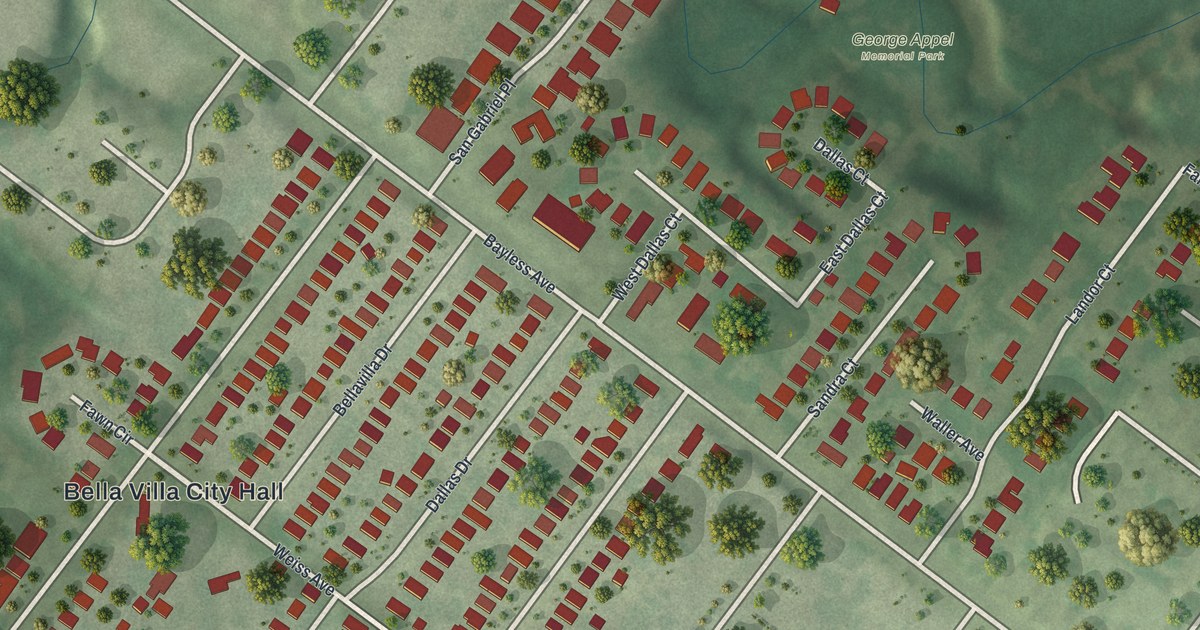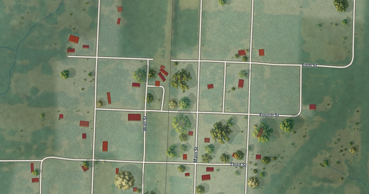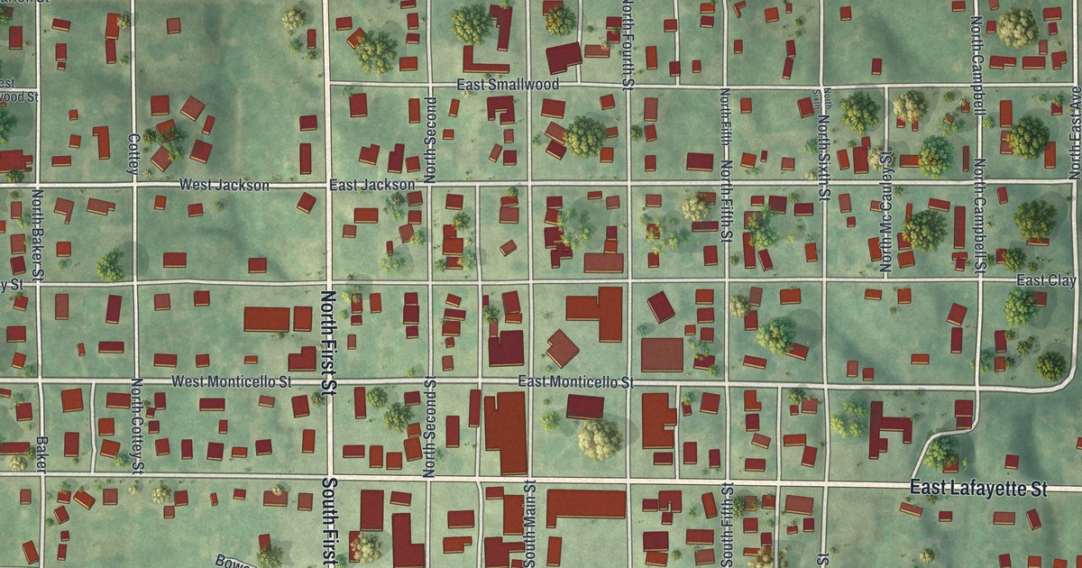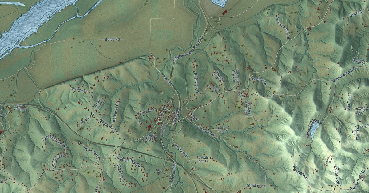
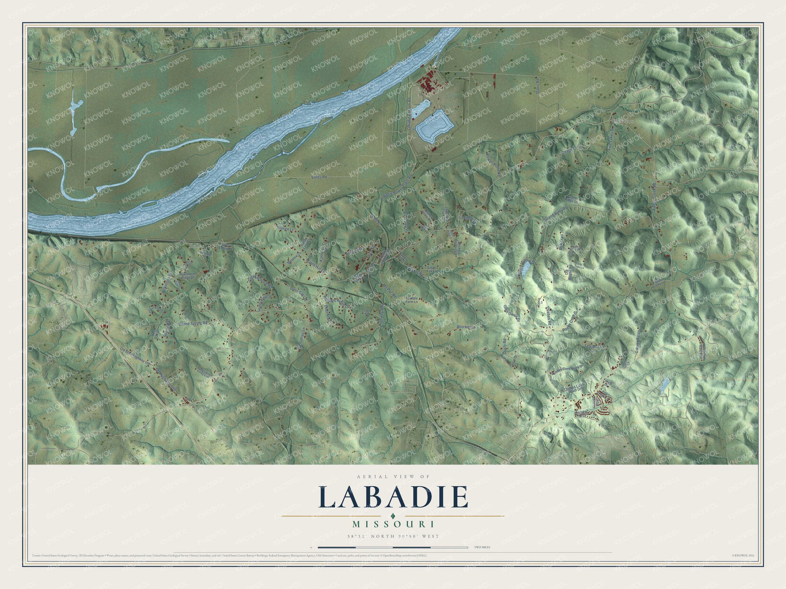
This beautifully detailed map of Labadie, Missouri was created in 2026 using aerial imagery combined with modern topographical, census, street and landmark data. It’s a one-of-a-kind view of Labadie that combines accurate data with a vintage aesthetic. The map shows every building in its true location, many of the roads carry their names, and the shaded topographic relief shows the shape of the land.
Explore an aerial view of Labadie, Missouri
On the map you’ll find Boles and Oetters, along with Fiddle Creek Road, Labadie Bottom Road, Front Street, Boles Road, Grand Army Road, Thiebes Road, Decker Road, Old Highway 100, Highway Mm, Labadie Power Plant Road, and more. If you look closely you can even find your house accurately drawn in its correct location. Zoom in on the preview to look for yours.
Did You Know?
From Internet Archive: "Mr. than by the courrier du bois, who traveled from one Labadie was the owner of a grist-mill, to which was | fort to the other, or perhaps was sent to the settlement attached the first saw-mill ever established west of the thousands of miles away with dispatches."
Labadie is a community in Franklin County.
Take a closer look at the Labadie map
Names on this map
These names are printed on this map.
Places: Boles and Oetters.
Streets and roads: Fiddle Creek Road, Labadie Bottom Road, Front Street, Boles Road, Grand Army Road, Thiebes Road, Decker Road, Old Highway 100, Highway Mm, Labadie Power Plant Road, Dunne Spring Road, Rocky Cove Drive.
More street names, A to Z
Beckers Crossing Lane, Boles Valley Lane, Broken Arrow Road, Candi Lynn Court, Cedar Knoll Court, Cherokee Valley Ests, Creek Bottom Road, Daisy Lane, Davis Road, Deer Trail, Dusty Road, Fiddle Creek Lane, Five Lakes Drive, Fleming Lane, Forest Drive, Fox Creek Lane, Foxdale Farm Lane, Glenn Oaks Drive, Glen Owen Drive, Grand Ridge Drive, Great Oaks Drive, Hawthorne Ridge Drive, Hermit Hollow Drive, Honey Locust Lane, Hoot Drive, Horseshoe Valley Drive, Hunters Ridge Drive, Katheryn Court, Labadie Bottoms Road, Labbie Ridge Drive, Lake Labadie Drive, Lake Road, Laretto Ridge Drive, Lewis and Clark Drive, Log Cabin Lane, Maple Hill Lane, Meadow Lane, Mo Pac Road, Northwood Drive, Oak Trail, Oakview Estate, Old State Highway 100, Old Wagon Road, Osage Lane, Powell Avenue, Powell Point Road, Red Oak Drive, Riverside Drive, Riverview Drive, Sassafras Lane, Sherry Road, Silver Fox Lane, Silver Oak Trail, Skyview Lane, State Highway Mm, Stricker Lane, Sweet Gum Court, Ten-Mar Lane, Terrace Hill Court, Thiebes Cove North Drive, Thiebes Cove South Drive, Third Street, West Bend Lane, Whisper Court, Wilkinson Place, Willow Road.
See it on a wall
The Labadie map as a framed print. Swipe for more.


This beautifully detailed map of Labadie makes an attractive addition to your office, library, or den, and it can even be used to teach children the geography and history of the area. It also makes a great gift for someone who left Labadie and still calls it home. When you’re done exploring, click here to get your copy of the Labadie map.