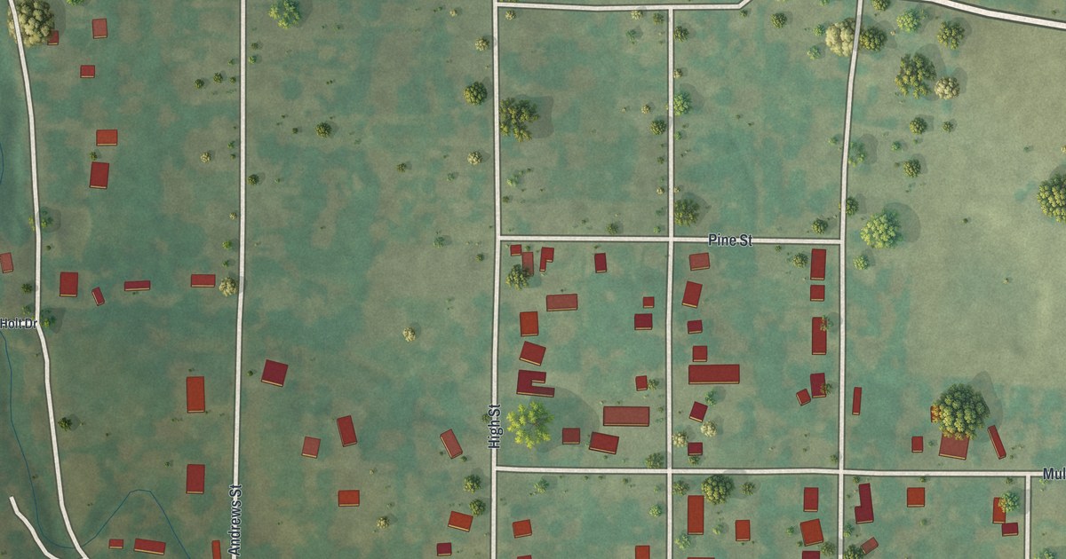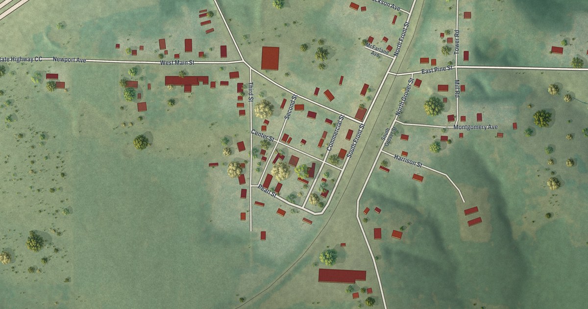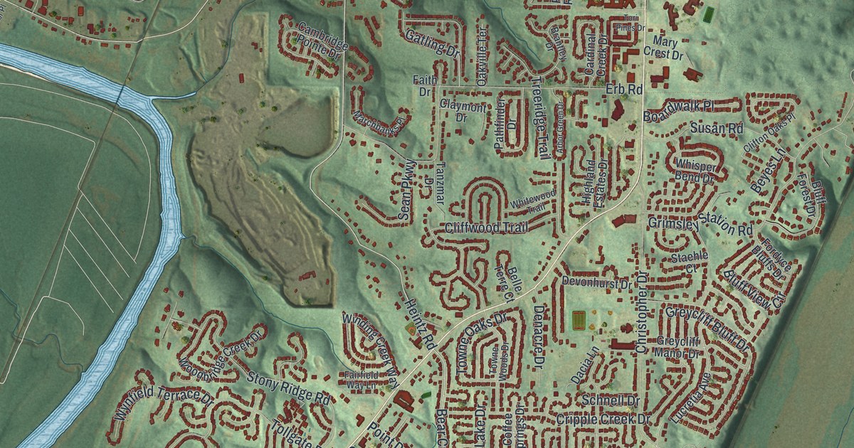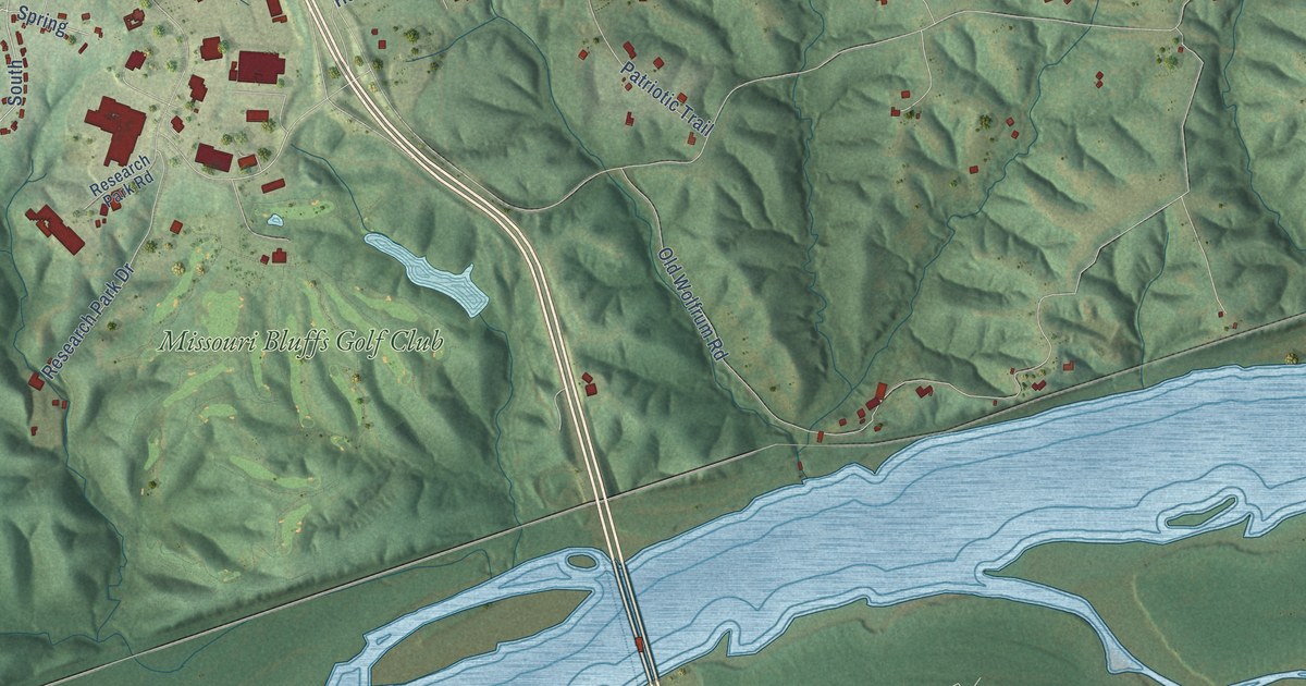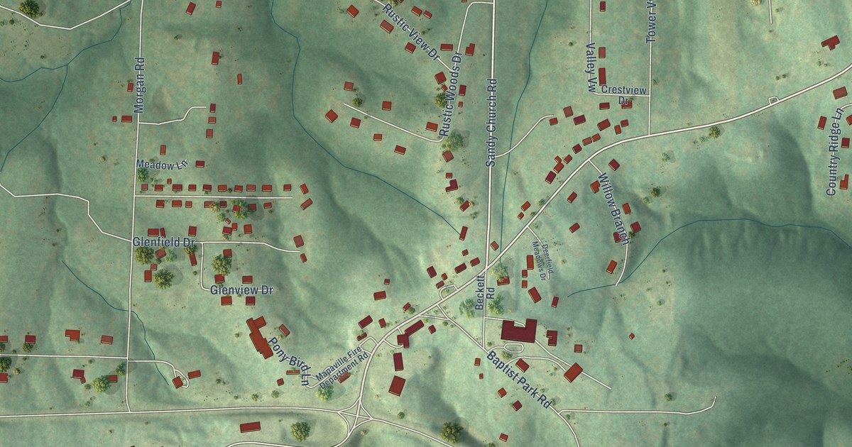
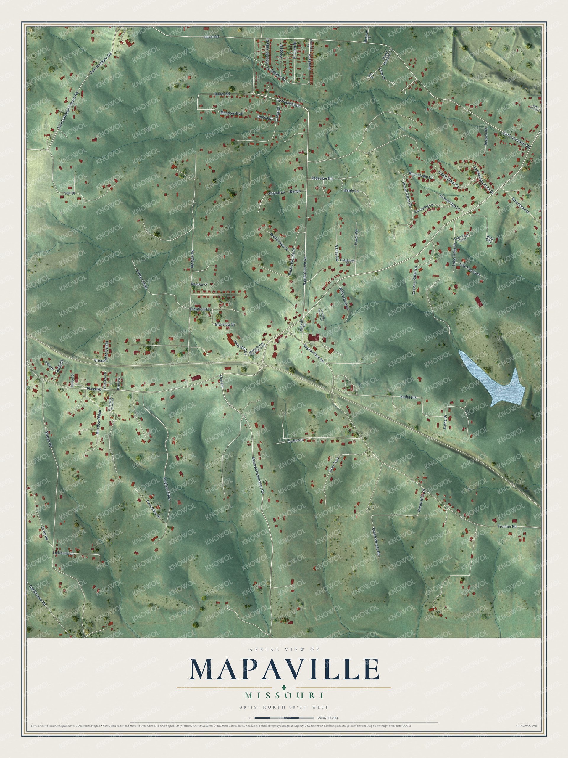
This beautifully detailed map of Mapaville, Missouri was created in 2026 using aerial imagery combined with modern topographical, census, street and landmark data. It’s a one-of-a-kind view of Mapaville that combines accurate data with a vintage aesthetic. The map shows every building in its true location, many of the roads carry their names, and the shaded topographic relief shows the shape of the land.
Explore an aerial view of Mapaville, Missouri
On the map you’ll find Burgio, along with Jarvis Road, Huber Road, Morgan Road, County Highway UU, Mapaville Hematite Road, Zion Road, Bonita Drive, Kelly Court, Round Table Court, Jarvis Goldman Road, Sandy Church Road, and more. If you look closely you can even find your house accurately drawn in its correct location. Zoom in on the preview to look for yours.
Take a closer look at the Mapaville map
Names on this map
These names are printed on this map.
Streets and roads: Jarvis Road, Huber Road, Morgan Road, County Highway Uu, Mapaville Hematite Road, Zion Road, Burgio, Bonita Drive, Kelly Court, Round Table Court, Jarvis Goldman Road, Sandy Church Road.
More street names, A to Z
Baptist Park Road, Beckett Road, Briarwood, Brookstone Drive, Brookstone Estate, Cedar Creek, Cedar Glade Court, Cedarosa, Christopher Woods Drive, Country Ridge Lane, Craig Road, Crestview Drive, Deerfield Meadows Drive, Deer Trail, Donna Drive, Drawbridge Lane, El Vado Drive, Frontier Road, Glenfield Drive, Glenview Drive, Green Hills Lane, Hunt Ests, Joy Drive, Kelly Drive, Ketha Drive, Ketha Heights, La Donna Lane, Lake Trail North, Lake Trails Drive, Lake Trail South, Lancelot Lane, Lanell Woods Road, La Somera Drive, Love Drive, Madison Oaks, Mapaville Fire Department Road, Meadow Drive, Meadow Lane, Meadow Ridge, Meadow Trail, Old Stroupe Road, Osage Drive, Pancho Villa Drive, Parc Greenwood, Peace Meadows Drive, Pecos Drive, Persimmon Point Drive, Plass Road, Pony Bird Lane, Reaves Road, Redecker Road, Roundtable Court, Rustic View Drive, Rustic Woods Drive, School Drive, Shady Lane, Sharon Lane, Stroup Road, Tower Vw, Twin Oaks Drive, Vail Drive, Valley Vw, Water District Road, Willow Branch, Woodland Road, Zion-Hogback Road, Zion Lutheran Church Road.
See it on a wall
The Mapaville map as a framed print. Swipe for more.


This beautifully detailed map of Mapaville makes an attractive addition to your office, library, or den, and it can even be used to teach children the geography and history of the area. It also makes a great gift for someone who left Mapaville and still calls it home. When you’re done exploring, click here to get your copy of the Mapaville map.