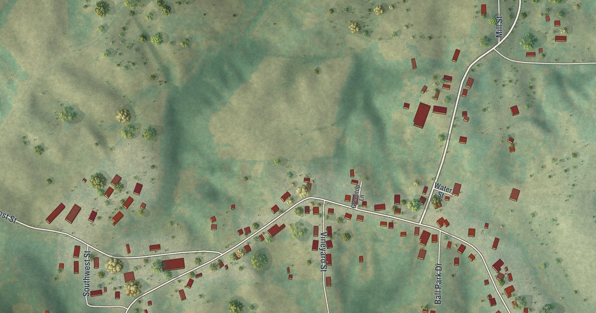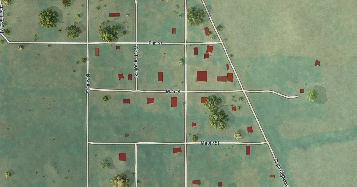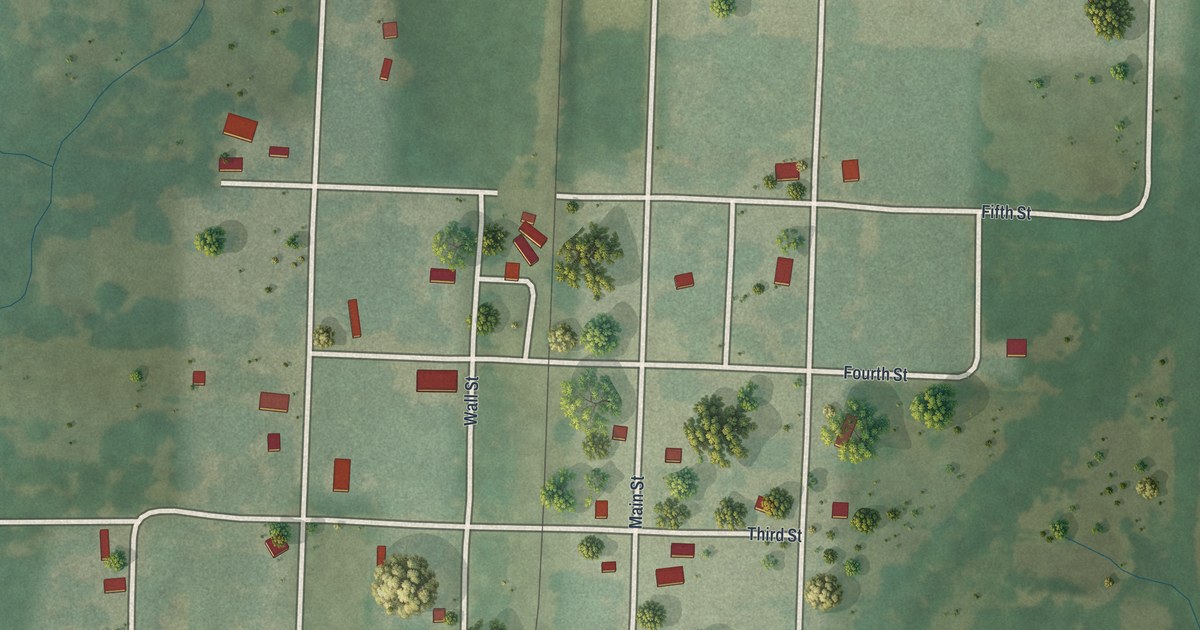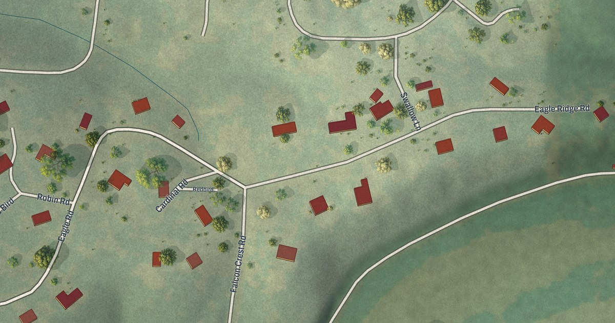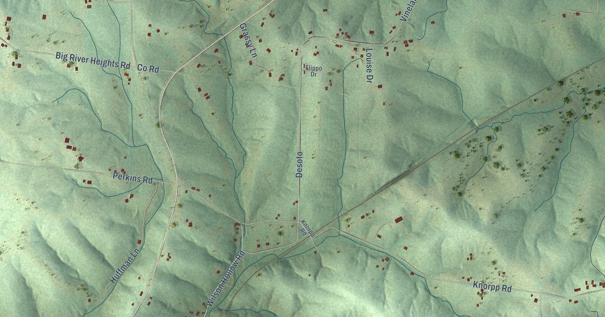
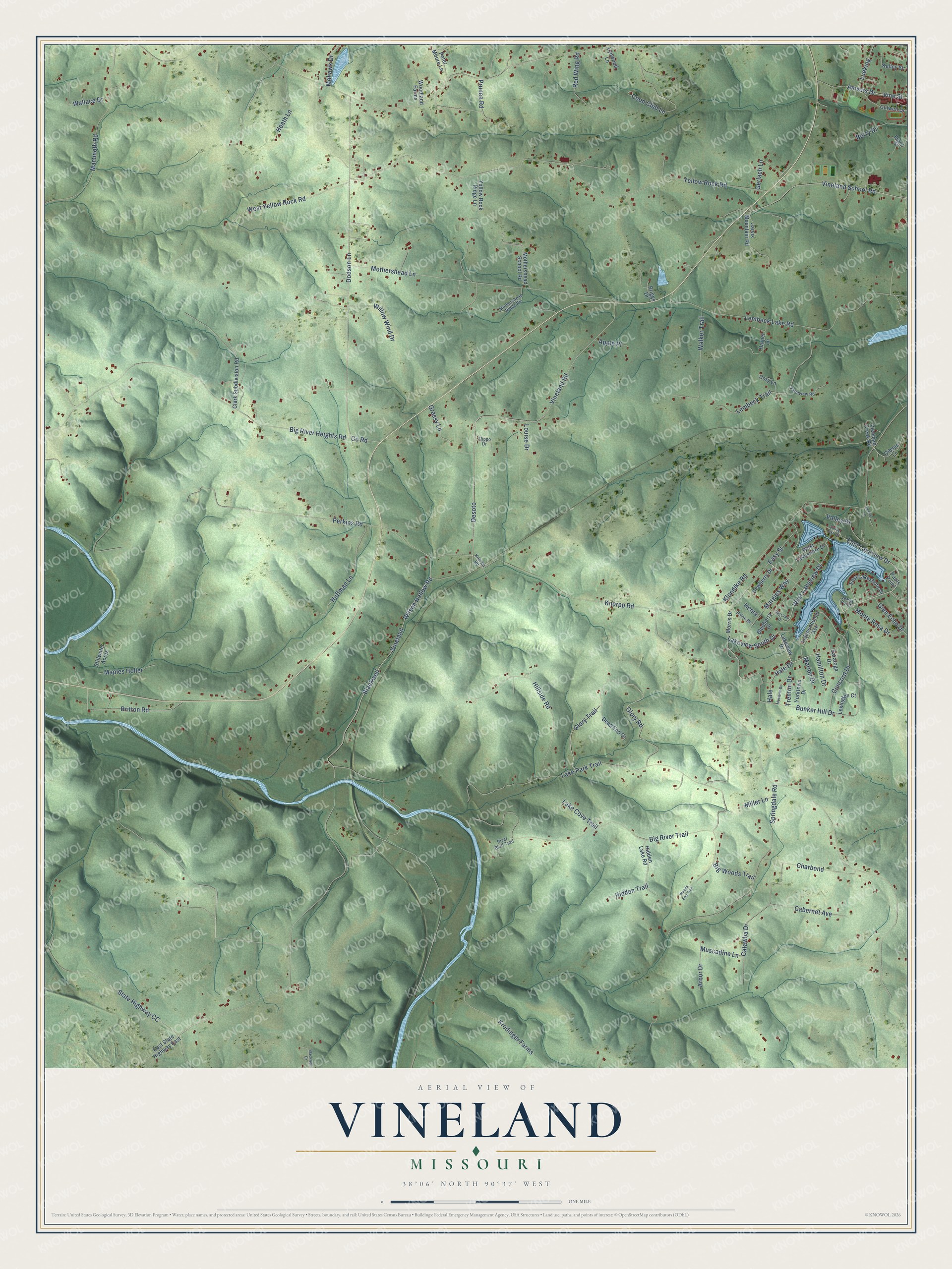
This beautifully detailed map of Vineland, Missouri was created in 2026 using aerial imagery combined with modern topographical, census, street and landmark data. It’s a one-of-a-kind view of Vineland that combines accurate data with a vintage aesthetic. The map shows every building in its true location, many of the roads carry their names, and the shaded topographic relief shows the shape of the land.
Explore an aerial view of Vineland, Missouri
On the map you’ll find Desoto, Hale, and Blackwell, along with East Lakeview Drive, Lakeview South Drive, West Lakeview Drive, Hale Drive, Vineland Road, Vine Street, Klondike Road, Yellow Rock Road, Big River Heights Road, and more. If you look closely you can even find your house accurately drawn in its correct location. Zoom in on the preview to look for yours.
Did You Know?
From Internet Archive: "On trial in the circuit court the evidence showed that the railroad, and its parallel switch, run north and south, at Vineland station."
Vineland is a community in Jefferson County.
Take a closer look at the Vineland map
Names on this map
These names are printed on this map.
Streets and roads: East Lakeview Drive, Lakeview South Drive, West Lakeview Drive, Hale Drive, Desoto, Hale, Vineland Road, Blackwell, Vine Street, Klondike Road, Yellow Rock Road, Big River Heights Road.
More street names, A to Z
Amvets Drive, Apple Place, Arbor Drive, Berry Drive, Big River Trail, Big Woods Trail, Blackwell Drive, Blueberry Drive, Boyne Street, Briggs Drive, Britton Road, Bunker Hill Drive, Cabernet Avenue, Catawba Drive, Charbond, Clark Subdivision Road, Concord Drive, Coon Club Lane, Cory Lane, County Road, Culwell Drive, Dead End Drive, Dewberry Drive, Dodson Lane, East Lakeshore Drive, East State Highway East, Easy Street, Farmview Road, Flippo Drive, Gerlach Lane, Gibson Lane, Glen Echo Drive, Glory Road, Glory Trail, Grassy Lane, Hamilton Drive, Harper Lane, Heath Lane, Henry, Hidden Lake Road, Hidden Trail, Hillside Road, Huffman Lane, Independence Avenue, Jarvis Mountain Road, Jerrys Point, Kelley Street, Knorpo Road, Knorpp Road, Krodinger Farms, Lake Cove Trail, Lake Park Trail, Lakeview Drive, Lembeck Lake Road, Lembeck Trail, Lexington Court, Louise Drive, Lueking, Lynwood Lane, Mammoth Road, Maples Holler, Margies Way, Marion Drive, McClain Drive, Miller Lane, Mohawk Drive, Monte Rosa Drive, Morris Drive, Mothershead Lane, Mothershead Ridge Road, Mothershead School Road, Moultrie Drive, Muscadine Lane, Paine Drive, Pauls Point, Penny Lane, Perkins Road, Peter Moore Lane, Prunea Road, Red Wing Road, River Bluff Trail, Saratoga Drive, Springdale Road, Spring Lake Drive, State Highway CC, Stillwater Acres, Trenton Drive, Valley Drive, Viehman Creek Road, Vineland, Vineland School Road, Walker Trail, Wallace Drive, West Lakeshore Drive, West Yellow Rock Road, Willow Wind Drive, Wilson Hollow Road, Woodland Farms, Woods End Trail, Yellow Rock Ridge Lane, Yorktown Drive.
See it on a wall
The Vineland map as a framed print. Swipe for more.


This beautifully detailed map of Vineland makes an attractive addition to your office, library, or den, and it can even be used to teach children the geography and history of the area. It also makes a great gift for anyone who grew up in Vineland or moved away. When you’re done exploring, click here to get your copy of the Vineland map.