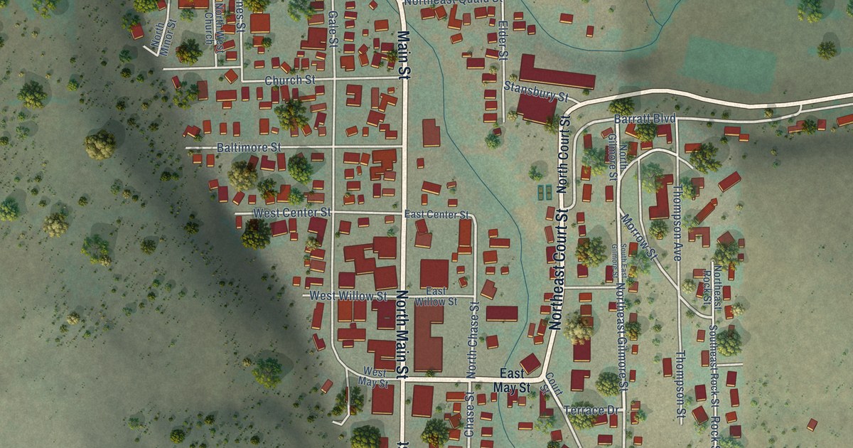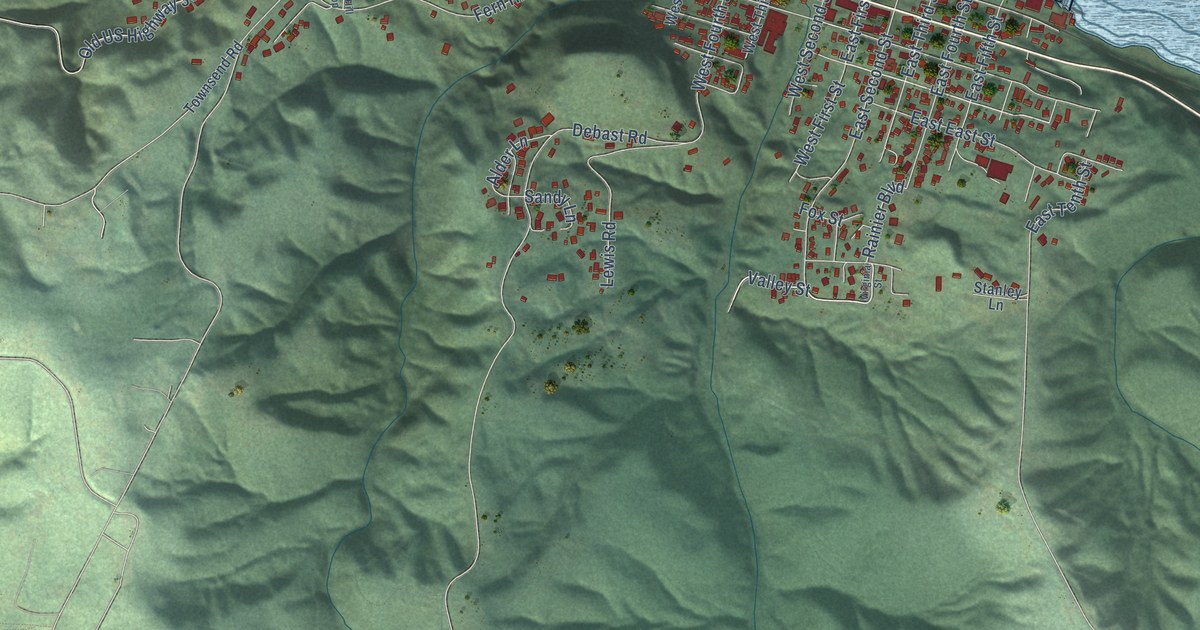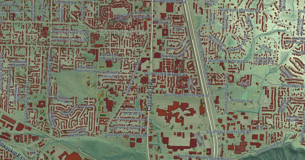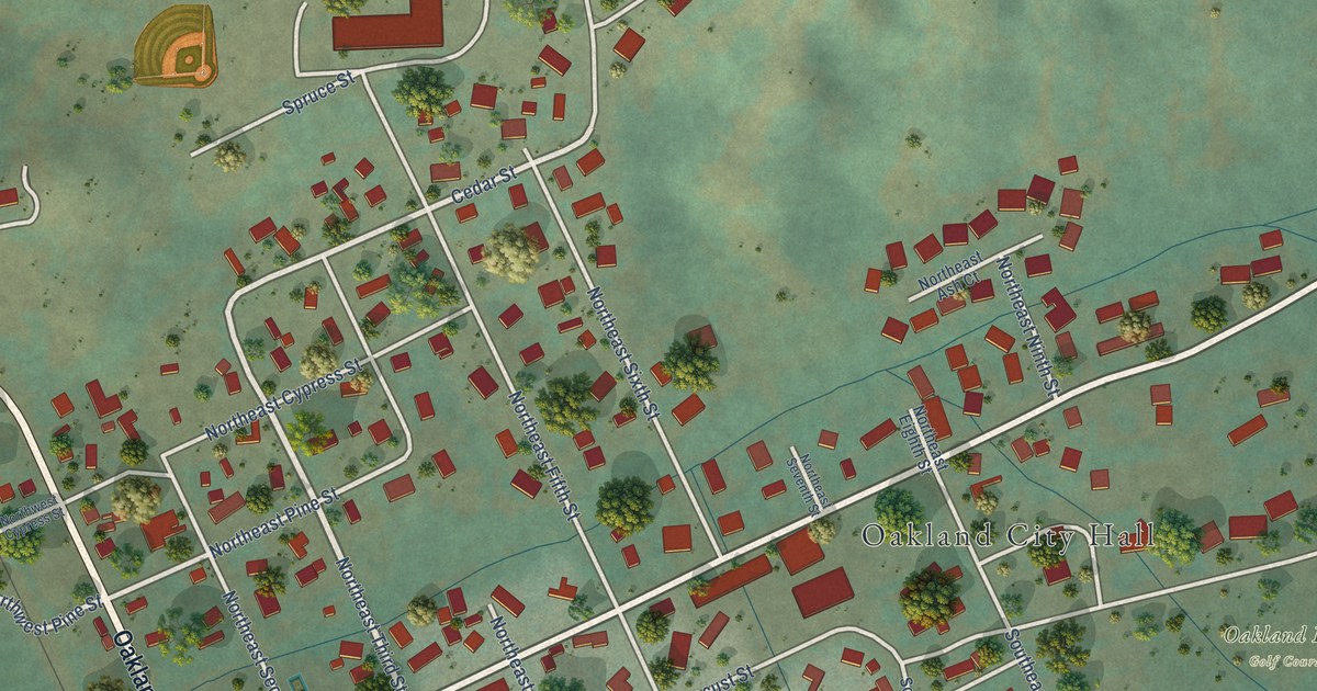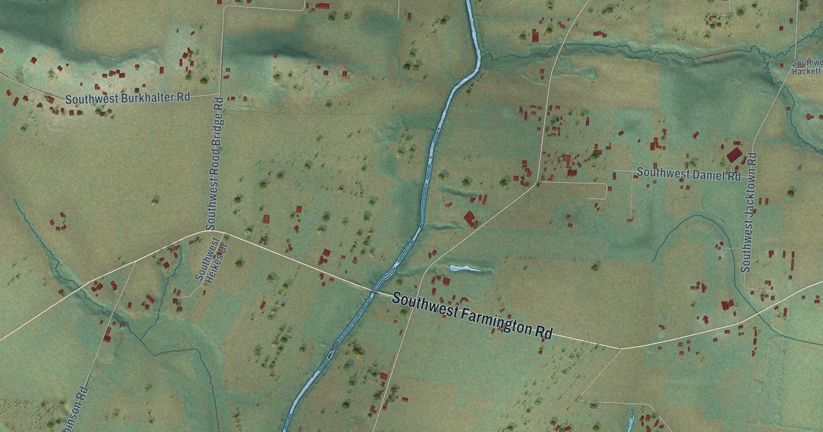
This beautifully detailed map of Farmington, Oregon was created in 2026 using aerial imagery combined with modern topographical, census, street and landmark data. It’s a one-of-a-kind view of Farmington that combines accurate data with a vintage aesthetic. The map shows every building in its true location, many of the roads carry their names, and the shaded topographic relief shows the shape of the land.
Explore an aerial view of Farmington, Oregon
On the map you’ll find Quamash Prairie and The Reserve, along with Southwest Hillsboro Highway, Southwest Farmington Road, Southwest Scholls Ferry Road, Southwest Tualatin Valley Highway, Southeast Lone Oak Street, Southwest 247th Avenue, Southwest River Road, Southwest Rood Bridge Road, Southwest Tile Flat Road, Southwest Minter Bridge Road, and more. If you look closely you can even find your house accurately drawn in its correct location. Zoom in on the preview to look for yours.
Did You Know?
From Internet Archive: "John Bronson and his brother Richard first lived at Hartford, but a few years later they were found among the original settlers of Farmington."
Farmington is a community in Washington County.
Take a closer look at the Farmington map
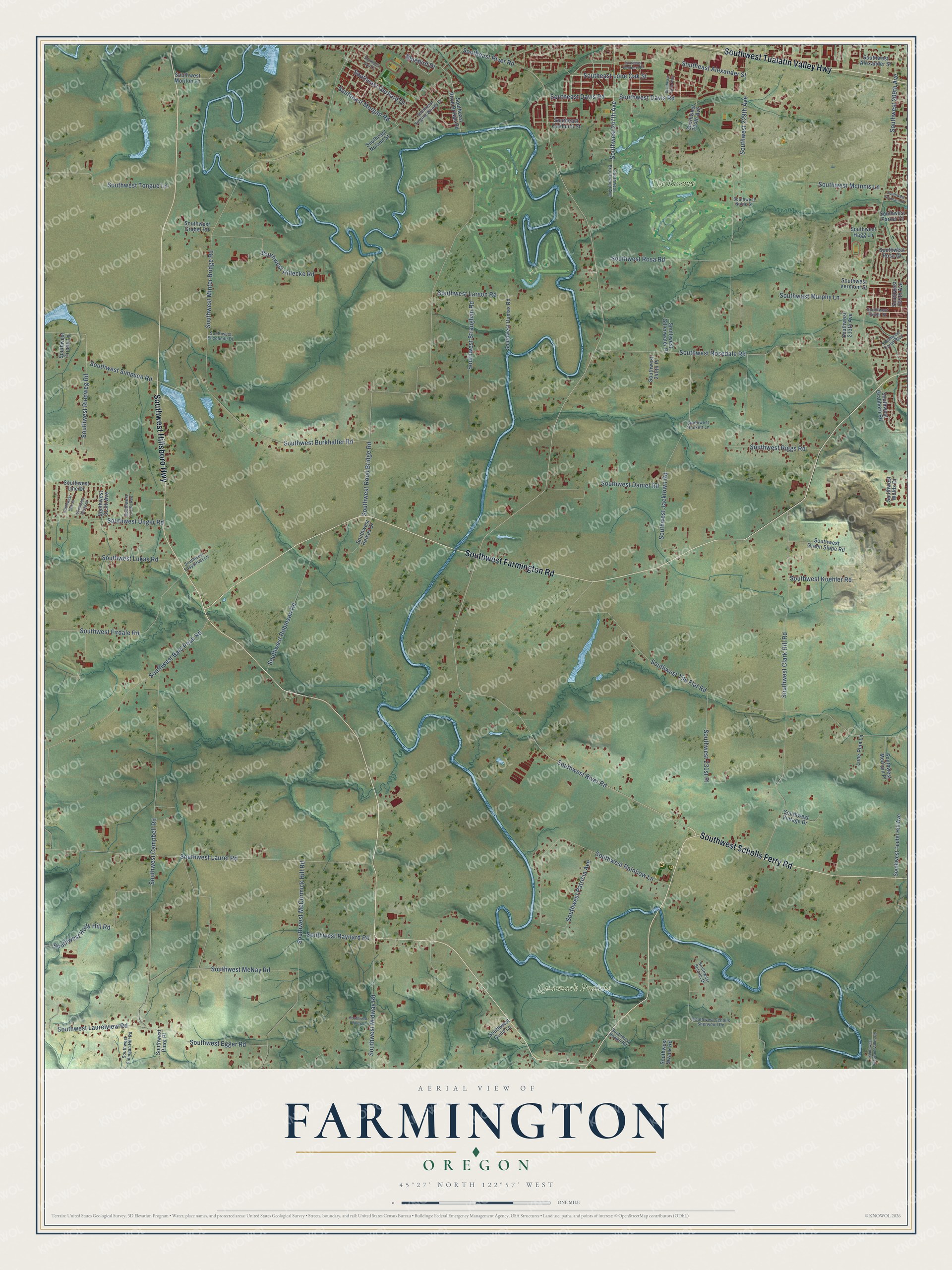
Names on this map
These names are printed on this map.
Places: Quamash Prairie and The Reserve.
Streets and roads: Southwest Hillsboro Highway, Southwest Farmington Road, Southwest Scholls Ferry Road, Southwest Tualatin Valley Highway, Southeast Lone Oak Street, Southwest 247th Avenue, Southwest River Road, Southwest Rood Bridge Road, Southwest Tile Flat Road, Southwest Minter Bridge Road, Southwest Campbell Road, Southwest Clark Hill Road.
More street names, A to Z
Bluebird Drive, Lone Pine Lane, Southeast Aerie Way, Southeast Alexander Street, Southeast Davis Road, Southeast Gail Court, Southeast Gerhard Drive, Southeast Morgan Road, Southeast Noland Street, Southeast Oakhurst Street, Southeast Redberry Place, Southeast River Road, Southeast Rood Bridge Road, Southeast Singing Woods Drive, Southwest 205th Avenue, Southwest 209th Avenue, Southwest 213th Avenue, Southwest 229th Avenue, Southwest 231st Place, Southwest 234th Avenue, Southwest 240th Place, Southwest 310th Avenue, Southwest 313th Avenue, Southwest Alexander Street, Southwest Bald Peak Road, Southwest Birdie Drive, Southwest Brookwood Avenue, Southwest Burkhalter Road, Southwest Carlin Boulevard, Southwest Daniel Road, Southwest Davis Road, Southwest Dumas Road, Southwest Easystreet Lane, Southwest Egger Road, Southwest Enschede Drive, Southwest Finnigan Hill Road, Southwest Firdale Road, Southwest Gillenwater Place, Southwest Grabel Road, Southwest Grabhorn Road, Southwest Green Slope Road, Southwest Guild Lane, Southwest Hackett Lane, Southwest Hagg Lane, Southwest Heikes Drive, Southwest Hillecke Road, Southwest Holly Hill Road, Southwest Jacktown Road, Southwest Koehler Road, Southwest Larson Road, Southwest Laurel Road, Southwest Laurelview Road, Southwest Lepley Lane, Southwest Line Drive, Southwest Link Street, Southwest Lukas Road, Southwest McAlpin Place, Southwest McCormick Hill Road, Southwest McInnis Lane, Southwest McNay Road, Southwest Midway Road, Southwest Morilon Lane, Southwest Murphy Lane, Southwest Noble Street, Southwest Parker Court, Southwest Patricia Avenue, Southwest Pinot Place, Southwest Pleasant Valley Road, Southwest Rainbow Lane, Southwest Raynard Road, Southwest Riedweg Road, Southwest Riggs Road, Southwest Robinson Road, Southwest Rosa Drive, Southwest Rosa Road, Southwest Rosedale Road, Southwest Rowell Road, Southwest Scholls Drive, Southwest Scholls Sherwood Road, Southwest Simpson Road, Southwest Skiver Street, Southwest Stoddard Drive, Southwest Straughan Road, Southwest Swank Road, Southwest Teufel Hill Avenue, Southwest Tongue Lane, Southwest Trinity Lane, Southwest Unger Road, Southwest Vermont Street, Southwest Vintage Drive, Southwest Wolds Drive.
See it on a wall
The Farmington map as a framed print. Swipe for more.


This beautifully detailed map of Farmington makes an attractive addition to your office, library, or den, and it can even be used to teach children the geography and history of the area. It also makes a great gift for anyone with Farmington roots. When you’re done exploring, click here to get your copy of the Farmington map.