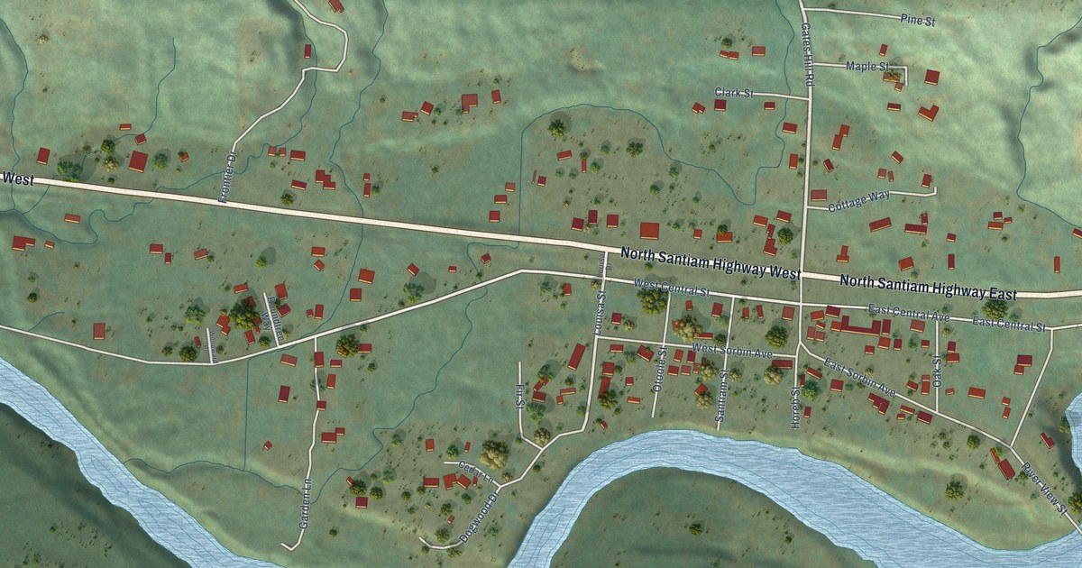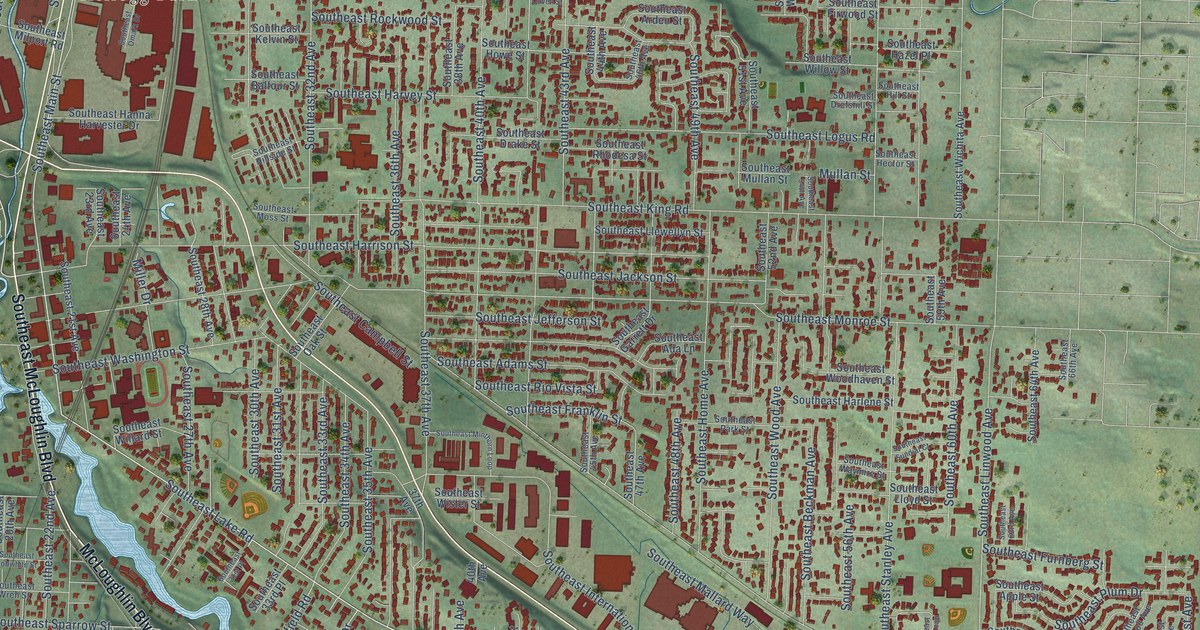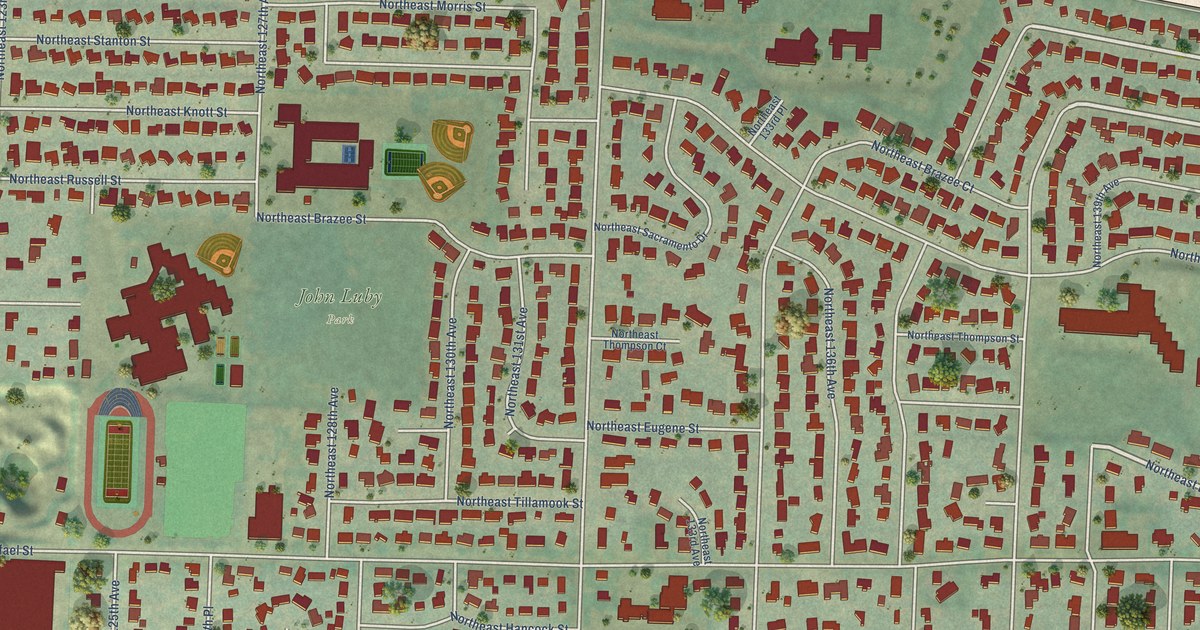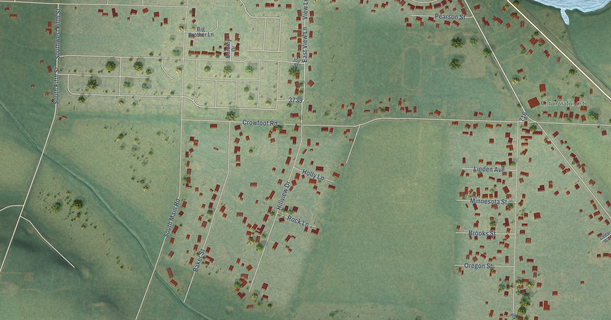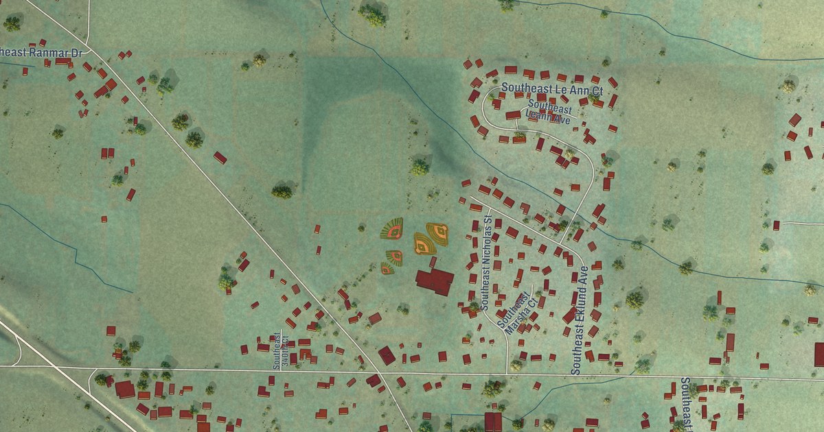
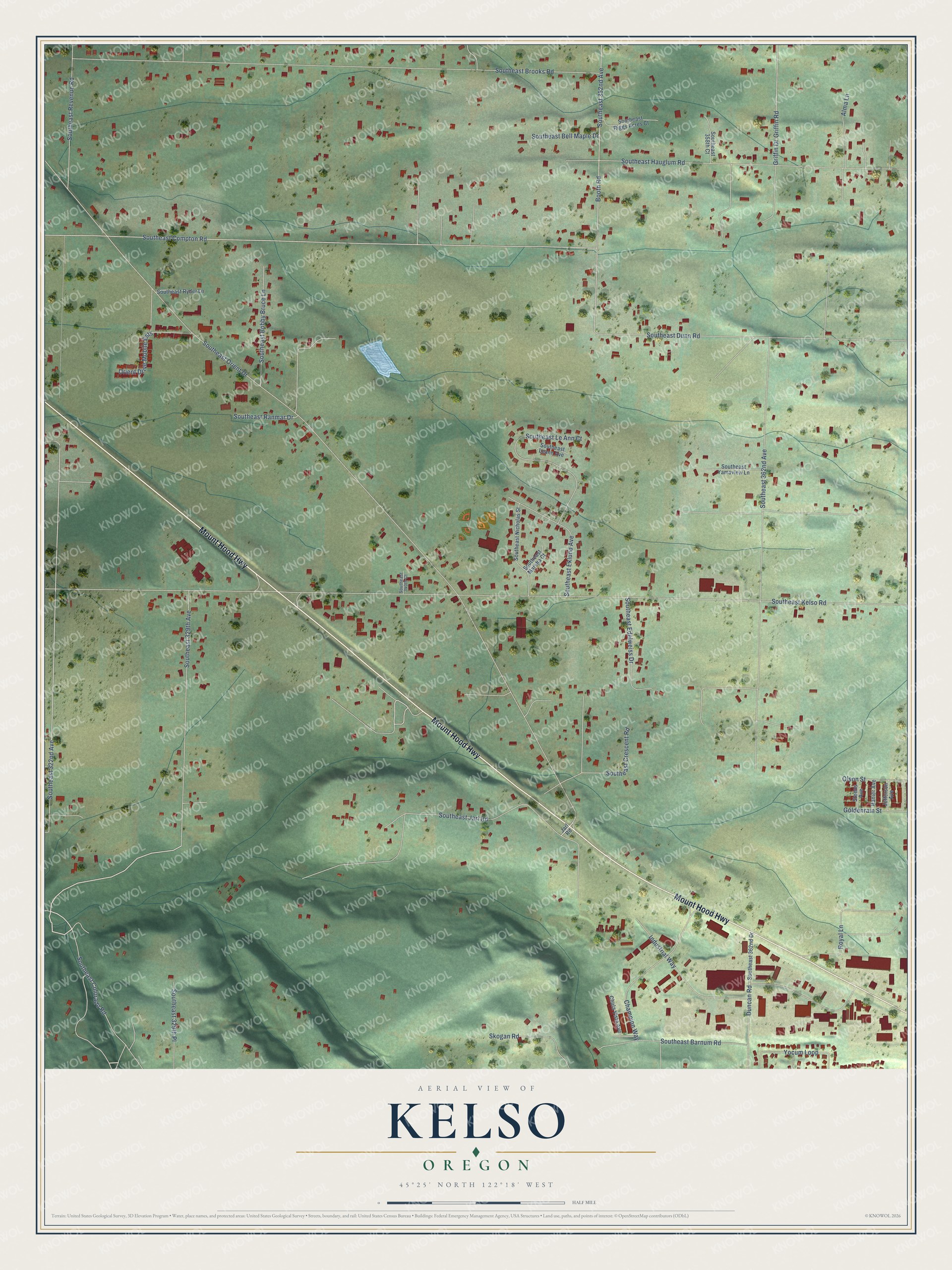
This beautifully detailed map of Kelso, Oregon was created in 2026 using aerial imagery combined with modern topographical, census, street and landmark data. It’s a one-of-a-kind view of Kelso that combines accurate data with a vintage aesthetic. The map shows every building in its true location, many of the roads carry their names, and the shaded topographic relief shows the shape of the land.
Explore an aerial view of Kelso, Oregon
On the map you’ll find Mount Hood Highway, Southeast Colorado Road, Southeast Orient Drive, Southeast 322nd Avenue, Southeast Kelso Road, Southeast Compton Road, Southeast 362nd Avenue, Southeast Brooks Road, Southeast Hauglum Road, Southeast Dunn Road, Booth Road, Southeast 352nd Avenue, and more. If you look closely you can even find your house accurately drawn in its correct location. Zoom in on the preview to look for yours.
Did You Know?
From Internet Archive: "Mr, Kelso has invested his money in city property, and has built a fine residence, where he and his family reside."
Kelso is a community in Clackamas County.
Take a closer look at the Kelso map
Names on this map
These names are printed on this map.
Streets and roads: Mount Hood Highway, Southeast Colorado Road, Southeast Orient Drive, Southeast 322nd Avenue, Southeast Kelso Road, Southeast Compton Road, Southeast 362nd Avenue, Southeast Brooks Road, Southeast Hauglum Road, Southeast Dunn Road, Booth Road, Southeast 352nd Avenue.
More street names, A to Z
Alma Lane, Champion Way, Chula Vista Avenue, Duncan Road, Goldenrain Street, Griffin Drive, Griffin Road, Industrial Way, Jarl Road, Jefferson Avenue, Olson Street, Orient Drive Mobile Ests, Ranier Avenue, Royal Lane, Skogan Road, Southeast 329th Avenue, Southeast 329th Place, Southeast 340th Court, Southeast 358th Court, Southeast 362nd Drive, Southeast Barnum Road, Southeast Bell Maple Drive, Southeast Bobby Bruce Lane, Southeast Crescent Road, Southeast Edelweiss Drive, Southeast Eklund Avenue, Southeast Jarl Road, Southeast Leann Avenue, Southeast Le Ann Court, Southeast Marsha Court, Southeast Nicholas Street, Southeast Ranmar Drive, Southeast Revenue Road, Southeast Riggs Acres Court, Southeast Ryder Lane, Southeast Yamaview Lane, Steens Avenue, Yocum Loop.
See it on a wall
The Kelso map as a framed print. Swipe for more.


This beautifully detailed map of Kelso makes an attractive addition to your office, library, or den, and it can even be used to teach children the geography and history of the area. It also makes a great gift for anyone who grew up in Kelso or moved away. When you’re done exploring, click here to get your copy of the Kelso map.