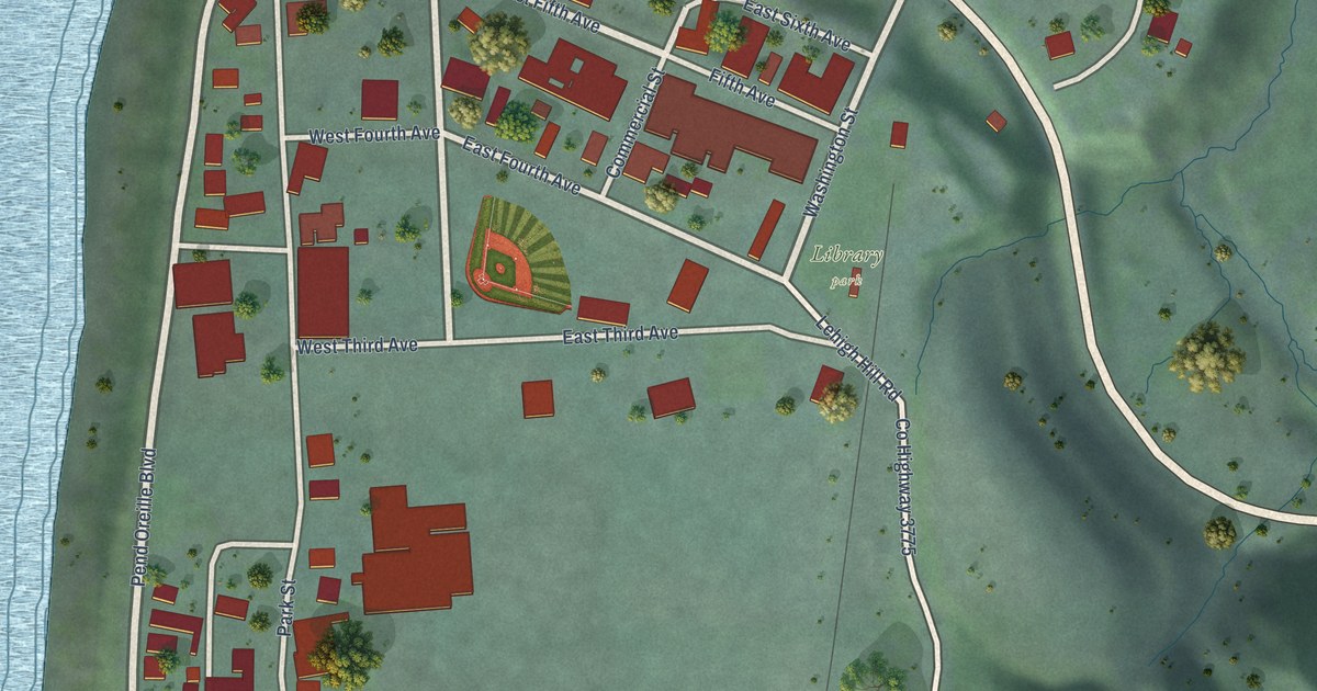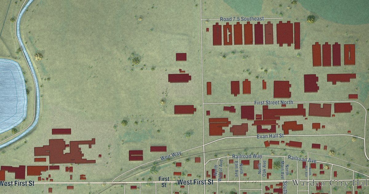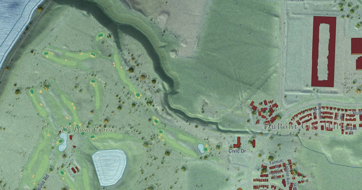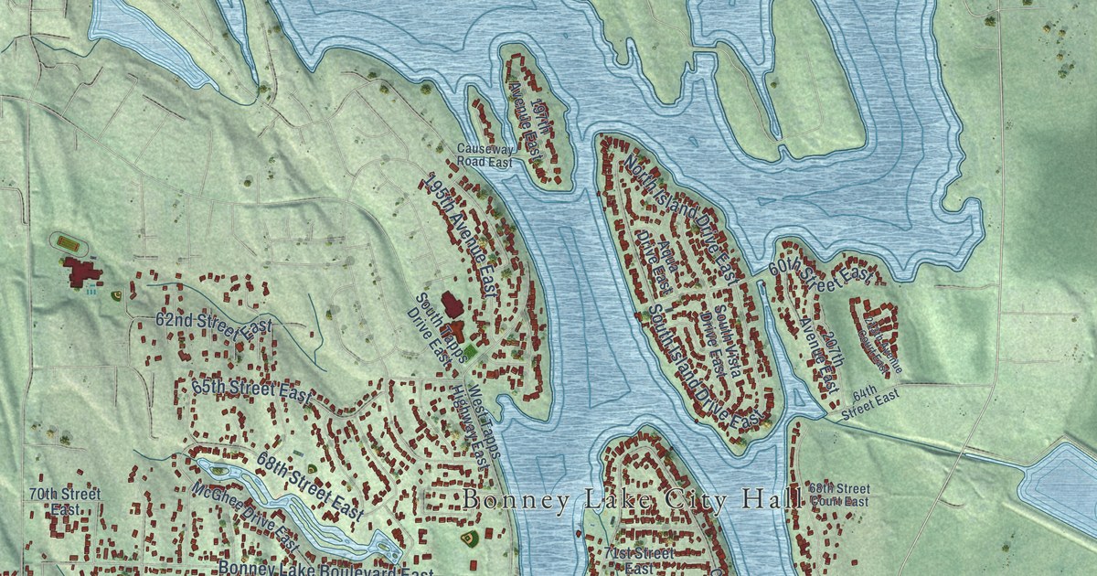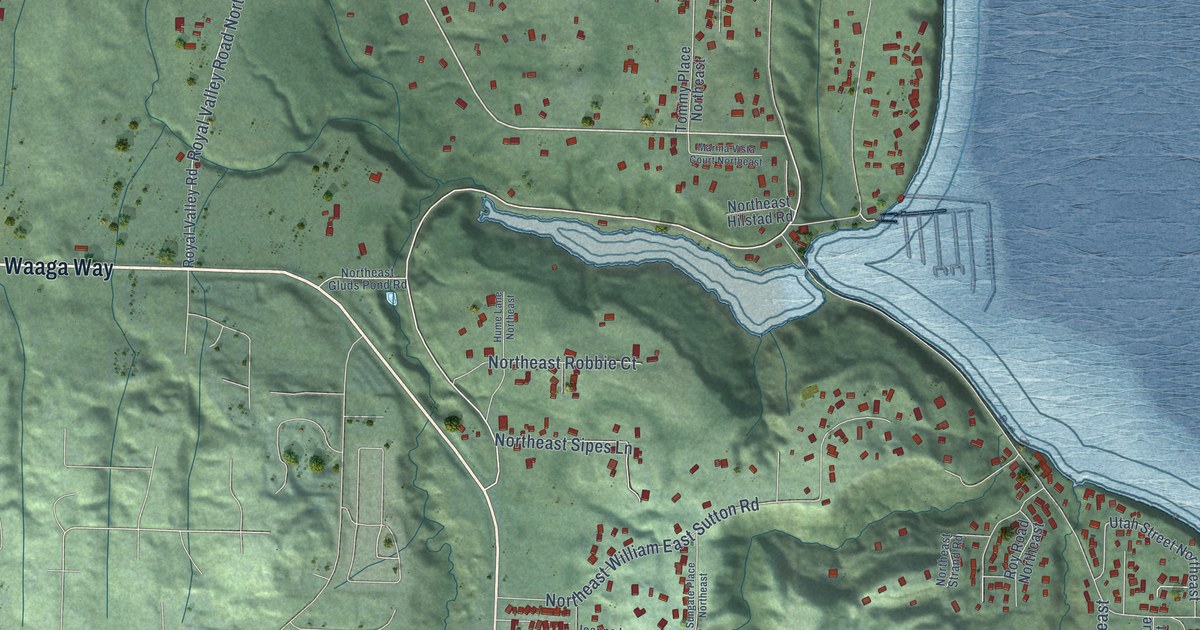
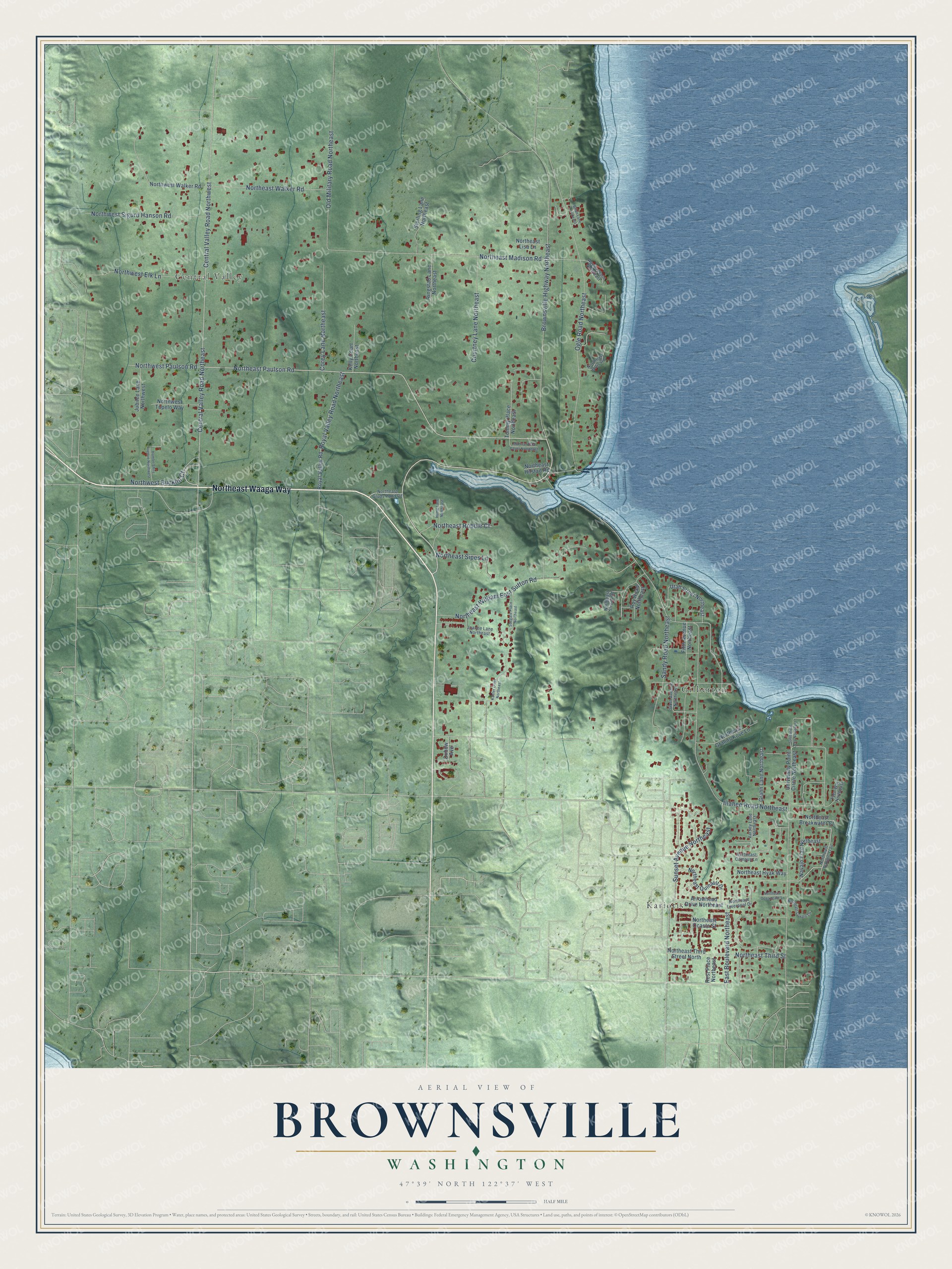
This beautifully detailed map of Brownsville, Washington was created in 2026 using aerial imagery combined with modern topographical, census, street and landmark data. It’s a one-of-a-kind view of Brownsville that combines accurate data with a vintage aesthetic. The map shows every building in its true location, many of the roads carry their names, and the shaded topographic relief shows the shape of the land.
Explore an aerial view of Brownsville, Washington
On the map you’ll find Gilberton, Kariotis, and Central Valley, along with Northeast Waaga Way, Northeast Paulson Road, East Boulevard Northeast, Illahee Road Northeast, Brownsville Highway Northeast, Central Valley Road Northeast, Central Valley Road Northwest, Ogle Road Northeast, Northeast Madison Road, and more. If you look closely you can even find your house accurately drawn in its correct location. Zoom in on the preview to look for yours.
Did You Know?
From Internet Archive: "John Cock and Leonard Lenhart established a boatyard in West Brownsville in 1848, which they operated successfully for twelve years."
Brownsville is a community in Kitsap County.
Take a closer look at the Brownsville map
Names on this map
These names are printed on this map.
Places: Gilberton, Kariotis and Central Valley.
Streets and roads: Northeast Waaga Way, Northeast Paulson Road, East Boulevard Northeast, Illahee Road Northeast, Brownsville Highway Northeast, Central Valley Road Northeast, Central Valley Road Northwest, Ogle Road Northeast, Northeast Madison Road, Northeast William East Sutton Road, Sunset Avenue Northeast, Sandy Road Northeast.
More street names, A to Z
Aquila Place Northeast, Arrowhead Drive Northeast, Brian Lane Northeast, Corey Lane Northeast, Courtney Lane Northeast, Fifth Avenue Northeast, Grahn Lane Northeast, Hamlet Shire Avenue Northwest, Hume Lane Northeast, Joanne Lane Northeast, Jubilee Lane Northwest, Kaster Drive Northeast, Kelly Court Northeast, Marina Vista Court Northeast, Navajo Trail Northeast, Northeast Breakwater Court, Northeast Campus Lane, Northeast Gluds Pond Road, Northeast Grahns Kove Lane, Northeast Hilstad Road, Northeast Hyak Way, Northeast Lisa Lane, Northeast Liverpool Drive, Northeast Luxury Lane, Northeast Navajo Trail, Northeast Ocasta Street, Northeast Oceangate Lane, Northeast Ortis Road, Northeast Quinault Drive, Northeast Robbie Court, Northeast Sipes Lane, Northeast Strand Road, Northeast Third Street, Northeast Third Street North, Northeast Walker Road, Northwest Bucklin Court, Northwest Elk Lane, Northwest Paulson Road, Northwest Sigurd Hanson Road, Northwest Tupelo Way, Northwest Walker Road, Old Military Road Northeast, Oxbow Avenue, Rest Place Northeast, Ringstad Lane Northeast, Royal Valley Road, Royal Valley Road Northeast, Roy Road Northeast, Sabbatical Loop Northeast, Sixth Avenue Northeast, Sterling Lane Northeast, Sungate Place Northeast, Tommy Place Northeast, Tyee Way Northeast, University Point Circle Northeast, Utah Street Northeast, Varsity Lane Northeast.
See it on a wall
The Brownsville map as a framed print. Swipe for more.


This beautifully detailed map of Brownsville makes an attractive addition to your office, library, or den, and it can even be used to teach children the geography and history of the area. It also makes a great gift for anyone who grew up in Brownsville or moved away. When you’re done exploring, click here to get your copy of the Brownsville map.