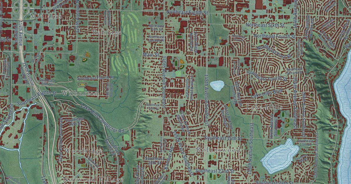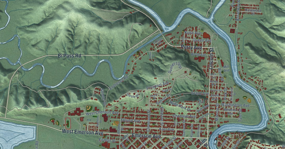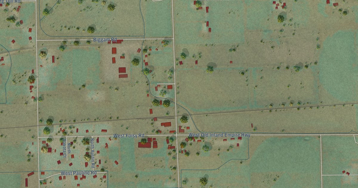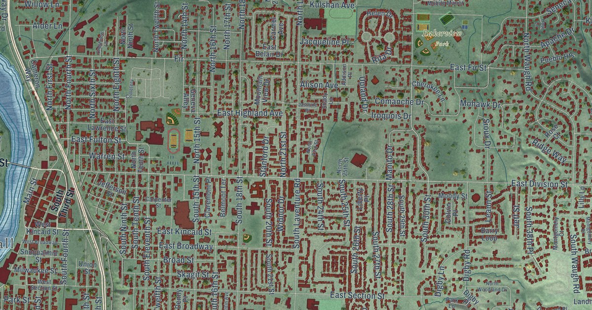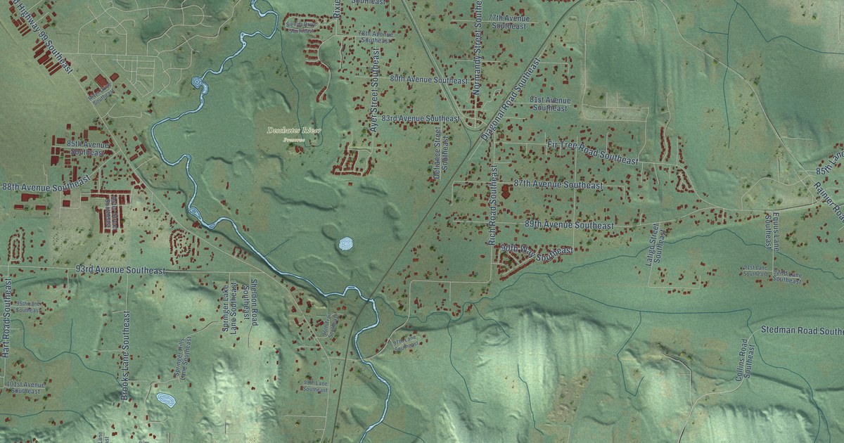
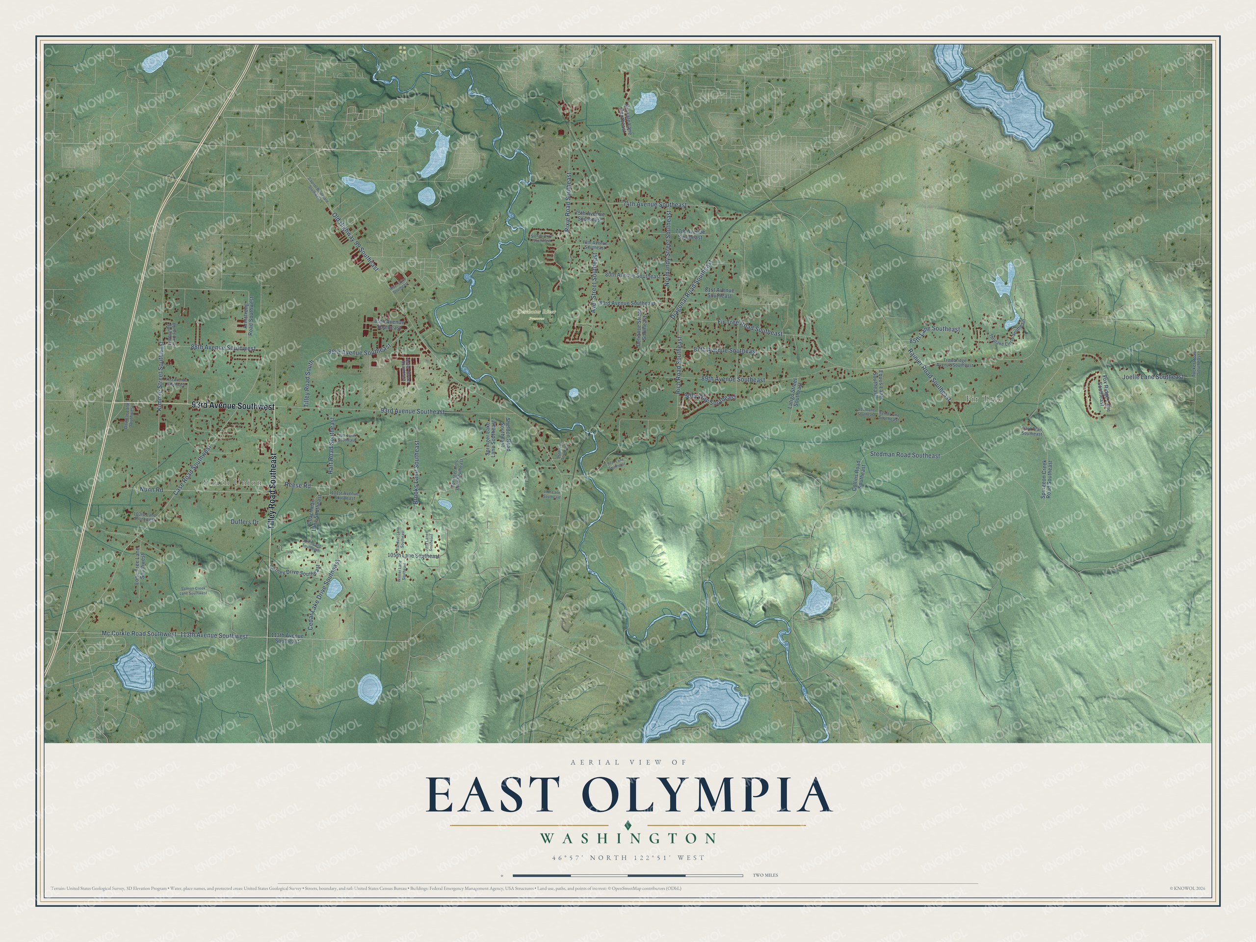
This beautifully detailed map of East Olympia, Washington was created in 2026 using aerial imagery combined with modern topographical, census, street and landmark data. It’s a one-of-a-kind view of East Olympia that combines accurate data with a vintage aesthetic. The map shows every building in its true location, many of the roads carry their names, and the shaded topographic relief shows the shape of the land.
Explore an aerial view of East Olympia, Washington
On the map you’ll find Fir Tree, South Union, Deschutes River Preserve, and Old Highway 99 Southeast, along with Tilley Road Southeast, 93rd Avenue Southwest, 113th Avenue Southwest, Case Road Southwest, Rich Road Southeast, Rainier Road Southeast, 93rd Avenue Southeast, Fir Tree Road Southeast, and more. If you look closely you can even find your house accurately drawn in its correct location. Zoom in on the preview to look for yours.
Did You Know?
From Internet Archive: "In 1887 he built his present cottage residence on land he had purchased in 1885, it being located on East Side street in East Olympia, and here he and his family have since resided."
East Olympia is a community in Thurston County.
Take a closer look at the East Olympia map
Names on this map
These names are printed on this map.
Places: Fir Tree, South Union and Deschutes River Preserve.
Streets and roads: Tilley Road Southeast, 93rd Avenue Southwest, Old Highway 99 Southeast, 113th Avenue Southwest, Case Road Southwest, Rich Road Southeast, Rainier Road Southeast, 93rd Avenue Southeast, Fir Tree Road Southeast, 89th Avenue Southeast, Kimmie Street Southwest, 74th Avenue Southeast.
More street names, A to Z
75th Avenue Southeast, 77th Avenue Southeast, 78th Avenue Southeast, 80th Avenue Southeast, 81st Avenue Southeast, 83rd Avenue Southeast, 85th Avenue Southeast, 85th Lane Southeast, 87th Avenue Southeast, 88th Avenue Southeast, 88th Avenue Southwest, 90th Way Southeast, 91st Avenue Southwest, 91st Lane Southeast, 92nd Lane Southeast, 93rd Trail Southeast, 95th Lane Southeast, 96th Trail Southeast, 97th Lane Southeast, 99th Lane Southeast, 101st Avenue Southeast, 103rd Lane Southwest, 104th Lane Southeast, 105th Lane Southeast, 113th Avenue Southeast, Armstrong Road Southwest, Aster Street Southeast, Ayer Street Southeast, Brooks Lane Southeast, Burns Drive Southwest, Capitol Boulevard Southwest, Carney Drive Southeast, Cedar Lake Drive Southeast, Coachman Lane Southeast, Collins Road Southeast, Defiance Street Southeast, Diagonal Road Southeast, Dowcor Lane Southwest, Duffers Drive, Equus Lane Southeast, Fox Ridge Lane Southeast, Hart Road Southeast, Jana Lane Southeast, Joelle Lane Southeast, Kinsale Lane Southeast, Latigo Street Southeast, Lone Tree Lane Southwest, Mc Corkle Road Southwest, Normandy Street Southeast, Nunn Road, Reese Road, River Drive Southeast, Rixie Road Southeast, Salmon Creek Lane Southwest, Sheldon Road Southeast, Sienna Drive Southeast, Springer Hills Lane Southeast, Springer Lake Lane Southeast, Spurgeon Creek Road Southeast, Stardust Lane Southeast, Stedman Road Southeast, Thrulake Circle Southeast, Tilley Road South, Trowbridge Avenue Southeast, Tucker Road Southeast, Wilmer Lane Southeast.
See it on a wall
The East Olympia map as a framed print. Swipe for more.


This beautifully detailed map of East Olympia makes an attractive addition to your office, library, or den, and it can even be used to teach children the geography and history of the area. It also makes a great gift for someone who left East Olympia and still calls it home. When you’re done exploring, click here to get your copy of the East Olympia map.