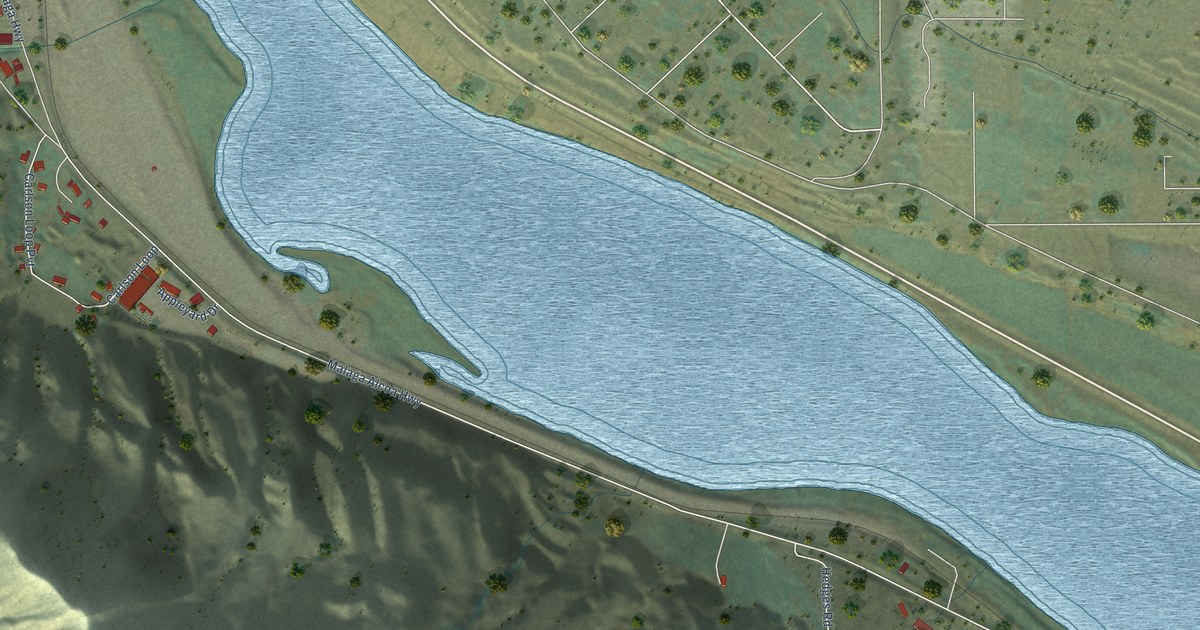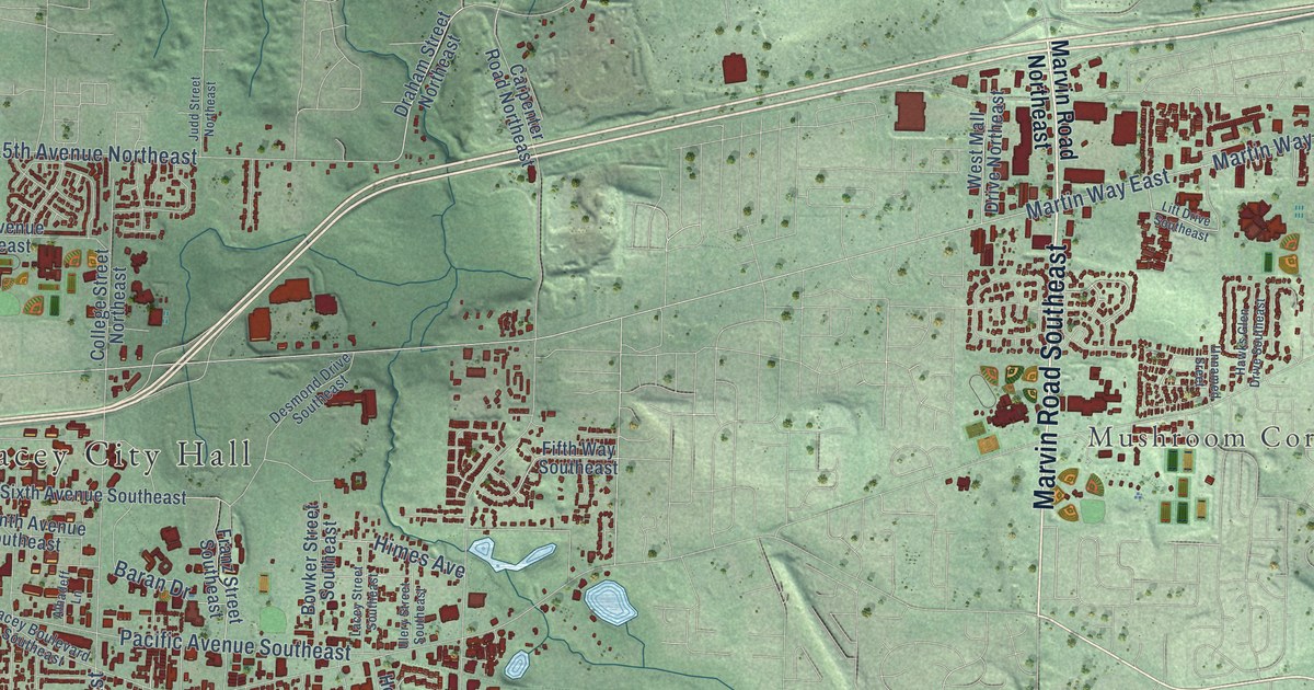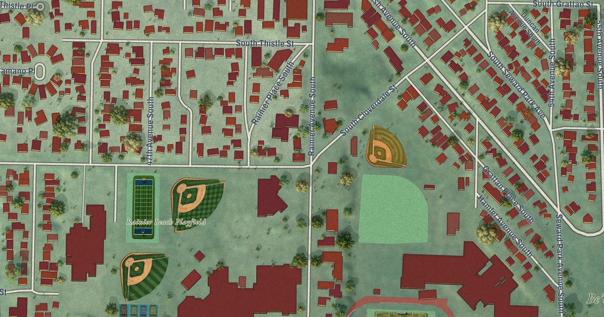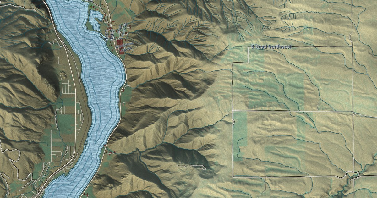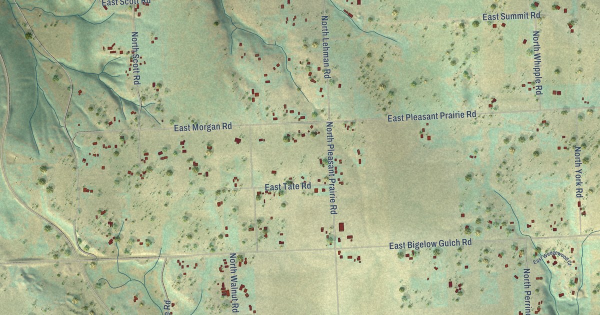
This beautifully detailed map of Pasadena Park, Washington was created in 2026 using aerial imagery combined with modern topographical, census, street and landmark data. It’s a one-of-a-kind view of Pasadena Park that combines accurate data with a vintage aesthetic. The map shows every building in its true location, many of the roads carry their names, and the shaded topographic relief shows the shape of the land.
Explore an aerial view of Pasadena Park, Washington
On the map you’ll find Hutton Settlement, along with East Upriver Drive, North Fruit Hill Road, East Fruit Hill Road, North Jensen Road, North Pleasant Prairie Road, North Vista Park Drive, North Lehman Road, East Bigelow Gulch Road, North Argonne Road, East Pleasant Prairie Road, East Columbia Drive, and more. If you look closely you can even find your house accurately drawn in its correct location. Zoom in on the preview to look for yours.
Take a closer look at the Pasadena Park map
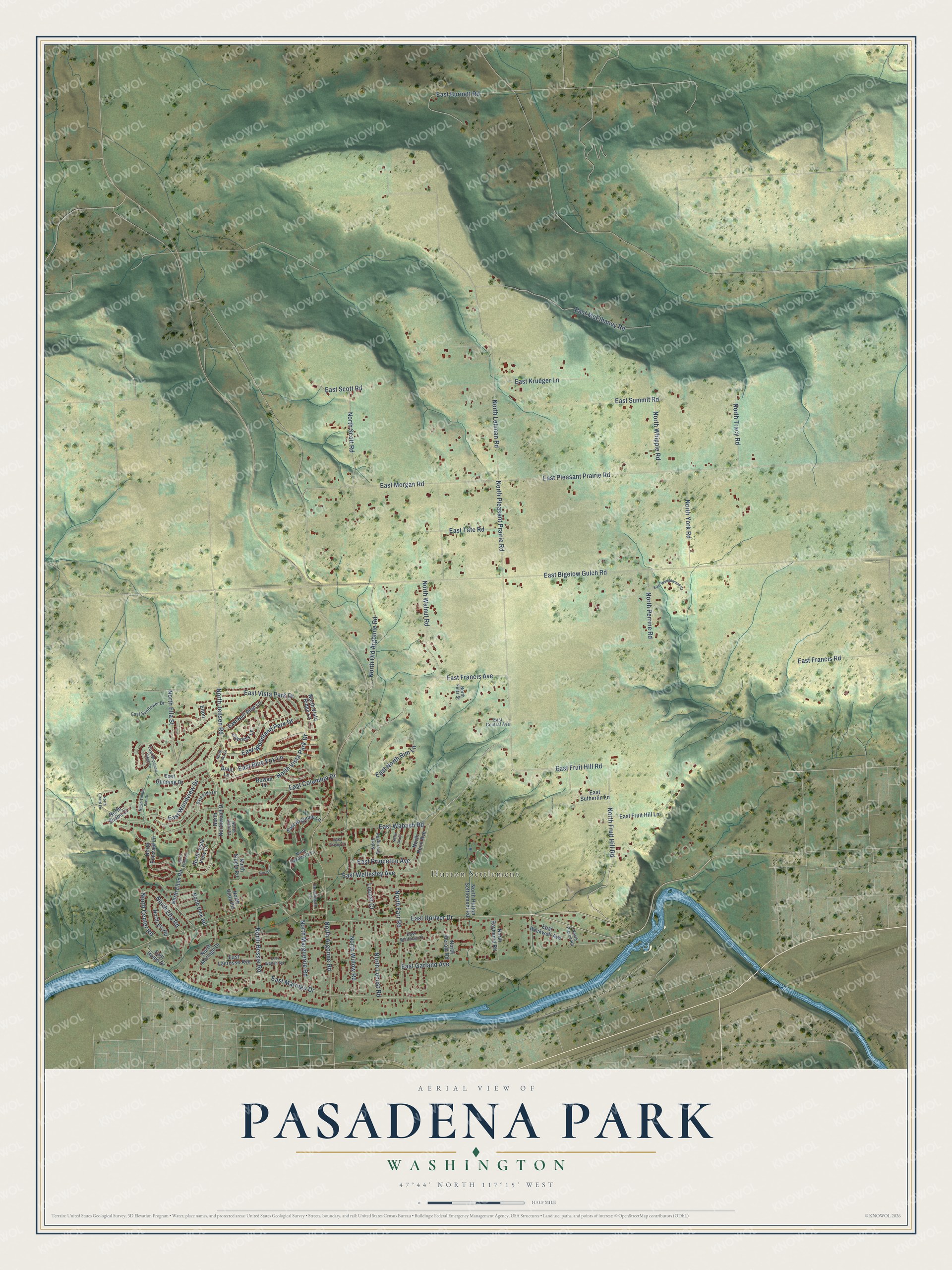
Names on this map
These names are printed on this map.
Places: Hutton Settlement.
Streets and roads: East Upriver Drive, North Fruit Hill Road, East Fruit Hill Road, North Jensen Road, North Pleasant Prairie Road, North Vista Park Drive, North Lehman Road, East Bigelow Gulch Road, North Argonne Road, East Pleasant Prairie Road, East Columbia Drive, East Maringo Drive.
More street names, A to Z
Brant Lane, Broad Lane, Cypress Lane, East Argonne Lane, East Blue Fox Lane, East Bull Pine Lane, East Burnett Road, East Central Avenue, East Elde Drive, East Francis Avenue, East Francis Road, East Fraser Court, East Fruit Hill Lane, East Garland Avenue, East Gunning Drive, East Hodin Drive, East Krueger Lane, East Lacrosse Avenue, East McElhaney Road, East Morgan Road, East North Rim Lane, East Princeton Avenue, East Rockwell Avenue, East Scott Road, East Summit Road, East Sunflower Drive, East Sutherlin Lane, East Tate Road, East Vista Park Drive, East Wabash Road, East Walton Avenue, East Wedgewood Court, East Wellesley Avenue, East Whitman Court, East Woodland Park Drive, East Woodland Ridge Lane, East Woodview Drive, Elton, Hutchinson Lane, Locust Court, North Bessie Road, North Boeing Road, North Center Road, North Dick Road, North Ella Road, North Ella Street, North Elton Lane, North Elton Road, North Ely Road, North Emerald Lane, North Farr Road, North Felts Street, North Girard Lane, North Herald Road, North Hutton Settlement Road, North Ivy Court, North Locust Road, North Marguerite Road, North Maringo Drive, North Northwood Drive, North Old Argonne Road, North Pasadena Lane, North Penn Avenue, North Perrine Road, North Pierce Road, North Raymond Road, North Scott Road, North Shane Court, North Sipple Road, North Timber Rim Drive, North Tracy Road, North Vista Court, North Vista Lane, North Vista Ridge Lane, North Vista Road, North Vista View Circle, North Walnut Road, North Whipple Road, North Willow Road, North York Road, Rowan Lane.
See it on a wall
The Pasadena Park map as a framed print. Swipe for more.


This beautifully detailed map of Pasadena Park makes an attractive addition to your office, library, or den, and it can even be used to teach children the geography and history of the area. It also makes a great gift for anyone with Pasadena Park roots. When you’re done exploring, click here to get your copy of the Pasadena Park map.