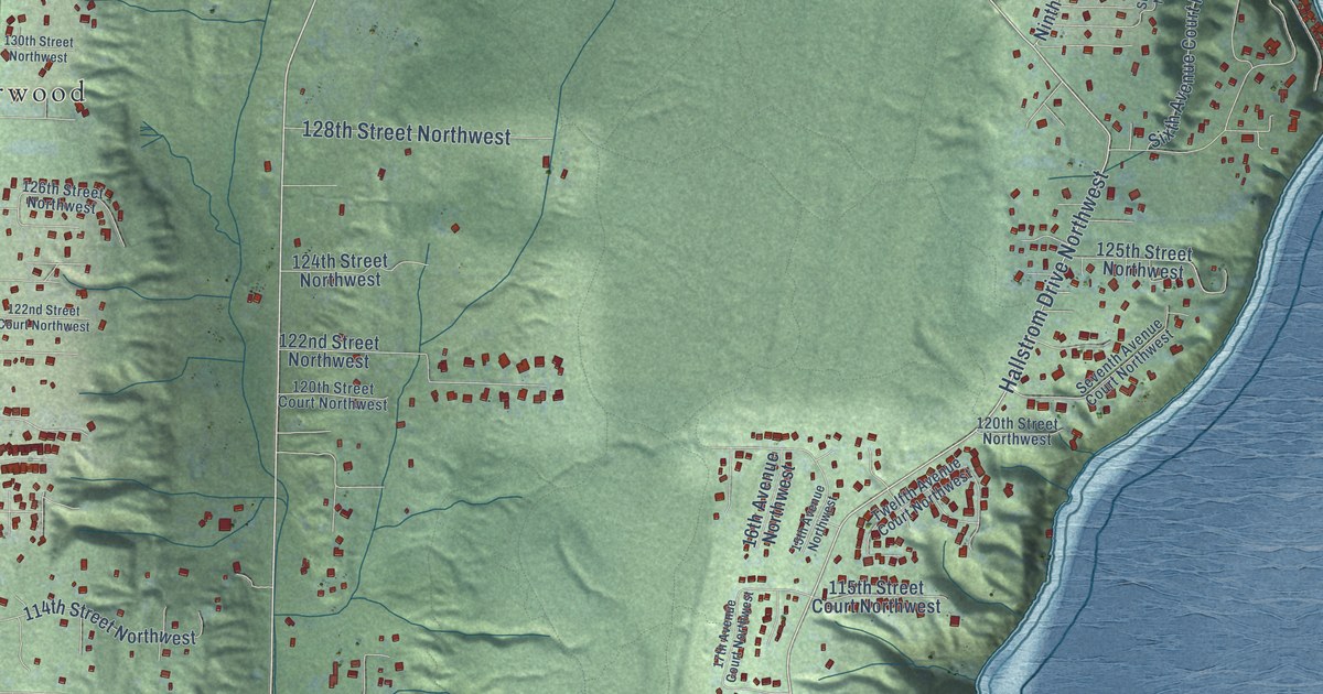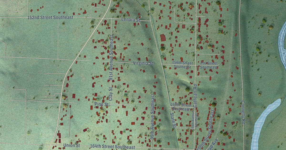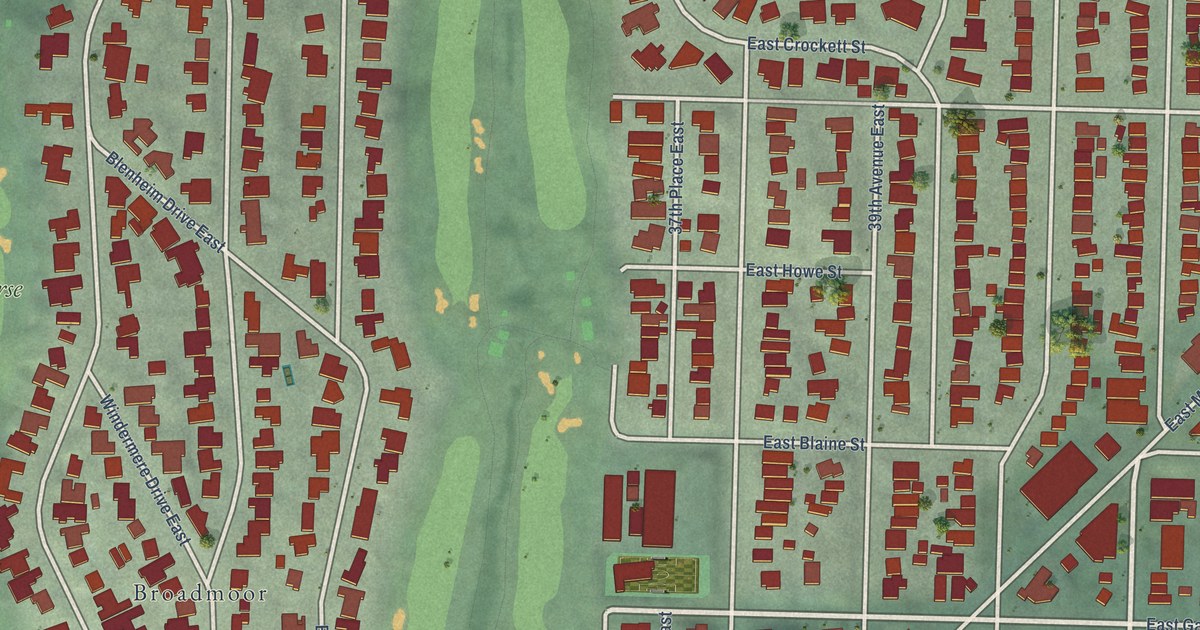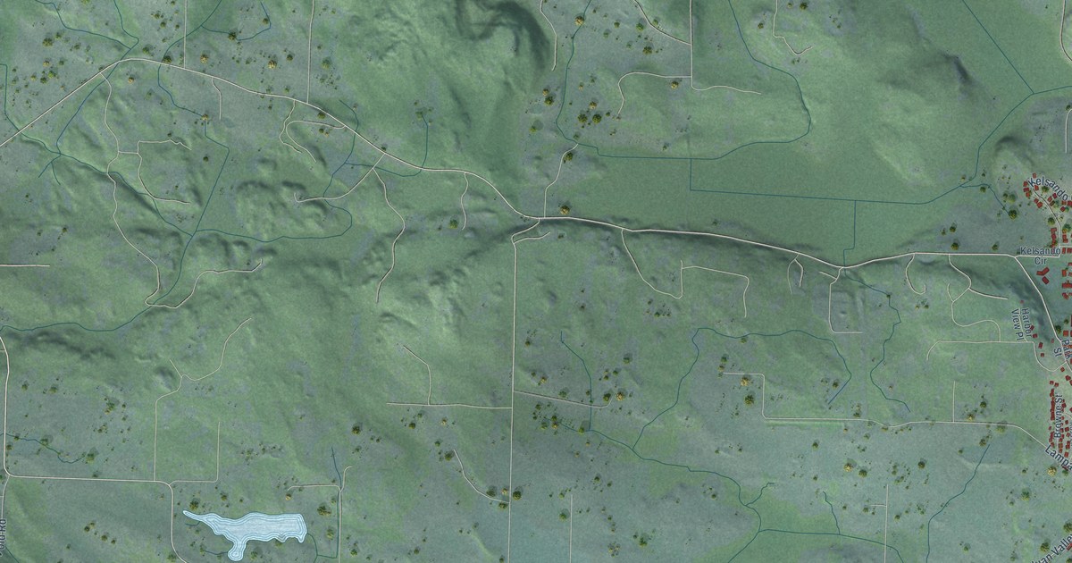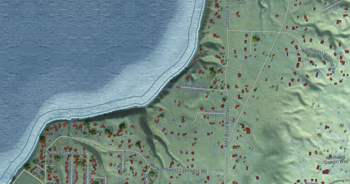
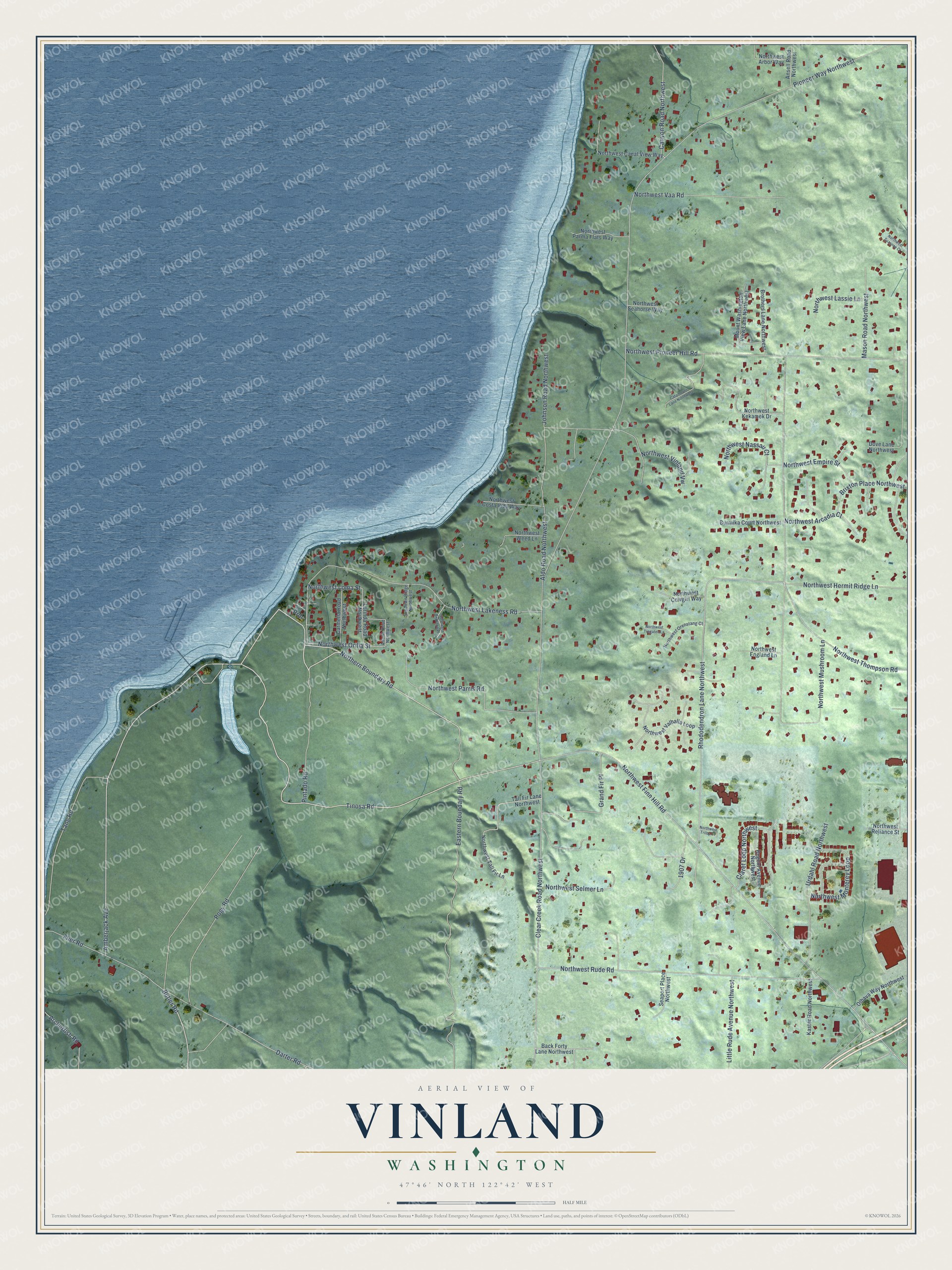
This beautifully detailed map of Vinland, Washington was created in 2026 using aerial imagery combined with modern topographical, census, street and landmark data. It’s a one-of-a-kind view of Vinland that combines accurate data with a vintage aesthetic. The map shows every building in its true location, many of the roads carry their names, and the shaded topographic relief shows the shape of the land.
Explore an aerial view of Vinland, Washington
On the map you’ll find Northern Boundary Road, Tinosa Road, Amberjack Avenue, Butler Road, Northwest Orilla Street, Clear Creek Road Northwest, Rhododendron Lane Northwest, Northwest Finn Hill Road, Pioneer Way Northwest, Eastern Boundary Road, Northwest Lakeness Road, Northwest Rude Road, and more. If you look closely you can even find your house accurately drawn in its correct location. Zoom in on the preview to look for yours.
Did You Know?
From Internet Archive: "In the year 1000 Leif Ericsson sailed southwesterly from Greenland and landed in a pleasant and well-wooded country, which he called Vinland because of its abundance of grapes."
Vinland is a community in Kitsap County.
Take a closer look at the Vinland map
Names on this map
These names are printed on this map.
Streets and roads: Northern Boundary Road, Tinosa Road, Amberjack Avenue, Butler Road, Northwest Orilla Street, Clear Creek Road Northwest, Rhododendron Lane Northwest, Northwest Finn Hill Road, Pioneer Way Northwest, Eastern Boundary Road, Northwest Lakeness Road, Northwest Rude Road.
More street names, A to Z
1907 Drive, Adams Road Northwest, Aldo Road Northwest, Ansell Road Northwest, Archerfish Road, Back Forty Lane Northwest, Brixton Place Northwest, Brothers Lane Northwest, Burmika Court Northwest, Canyon Road Northwest, Carmella Road Northwest, Catamount Lane Northwest, Claret Loop Northwest, Darter Road, Dove Lane Northwest, Flier Road, Grand Fir Place, Johnson Road Northwest, Kaster Road Northwest, Little Rude Avenue Northwest, Lorinda Road Northwest, Mason Road Northwest, Mount Washington View Lane Northwest, Northwest Arbor Way, Northwest Arcadia Court, Northwest Brandon Place, Northwest Canal View Way, Northwest Costa Vida Way, Northwest Cowgirl Way, Northwest Empire Street, Northwest England Lane, Northwest Hermit Ridge Lane, Northwest Kekamek Drive, Northwest Lassie Lane, Northwest Loma Street, Northwest Monterey Loop, Northwest Mushroom Lane, Northwest Nassau Court, Northwest Orenstang Court, Northwest Parma Flats Way, Northwest Parris Road, Northwest Pioneer Hill Road, Northwest Reliance Street, Northwest Seahorse Way, Northwest Selmer Lane, Northwest Suzanne Court, Northwest Tall Fir Lane, Northwest Thompson Road, Northwest Tregaten Lane, Northwest Trilby Court, Northwest Vaa Road, Northwest Valhalla Loop, Northwest Vinland Vw, Northwest Weed Lane, Olhava Way Northwest, Pintado Road, Pogy Road, Prdr, Regent Avenue Northwest, Seaport Place Northwest, Sundown Ridge Northwest, Tall Fir Lane Northwest, Tang Road, Urdahl Road Northwest.
See it on a wall
The Vinland map as a framed print. Swipe for more.


This beautifully detailed map of Vinland makes an attractive addition to your office, library, or den, and it can even be used to teach children the geography and history of the area. It also makes a great gift for anyone who grew up in Vinland or moved away. When you’re done exploring, click here to get your copy of the Vinland map.