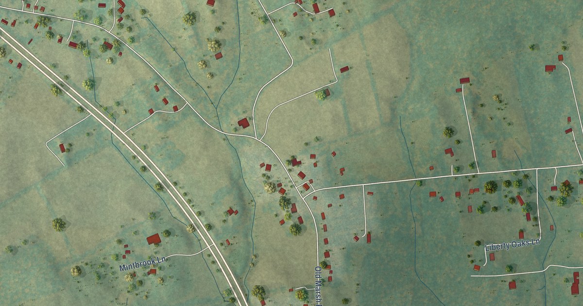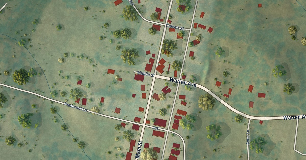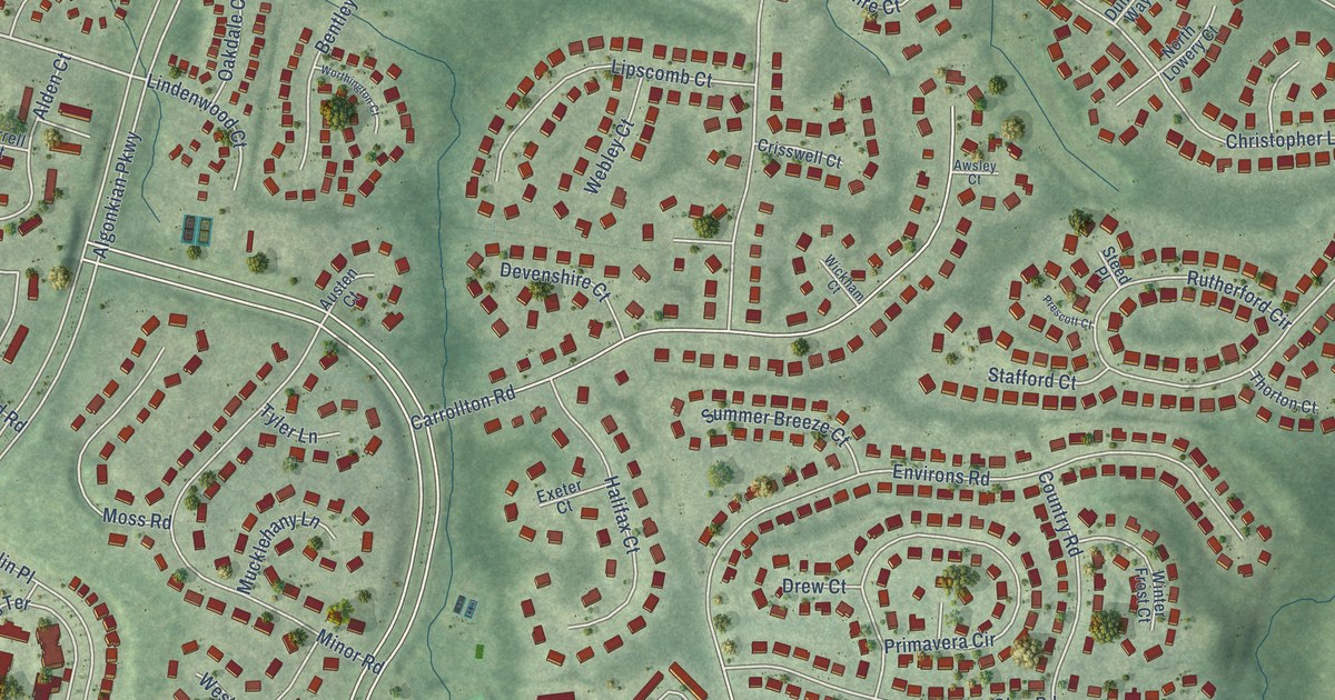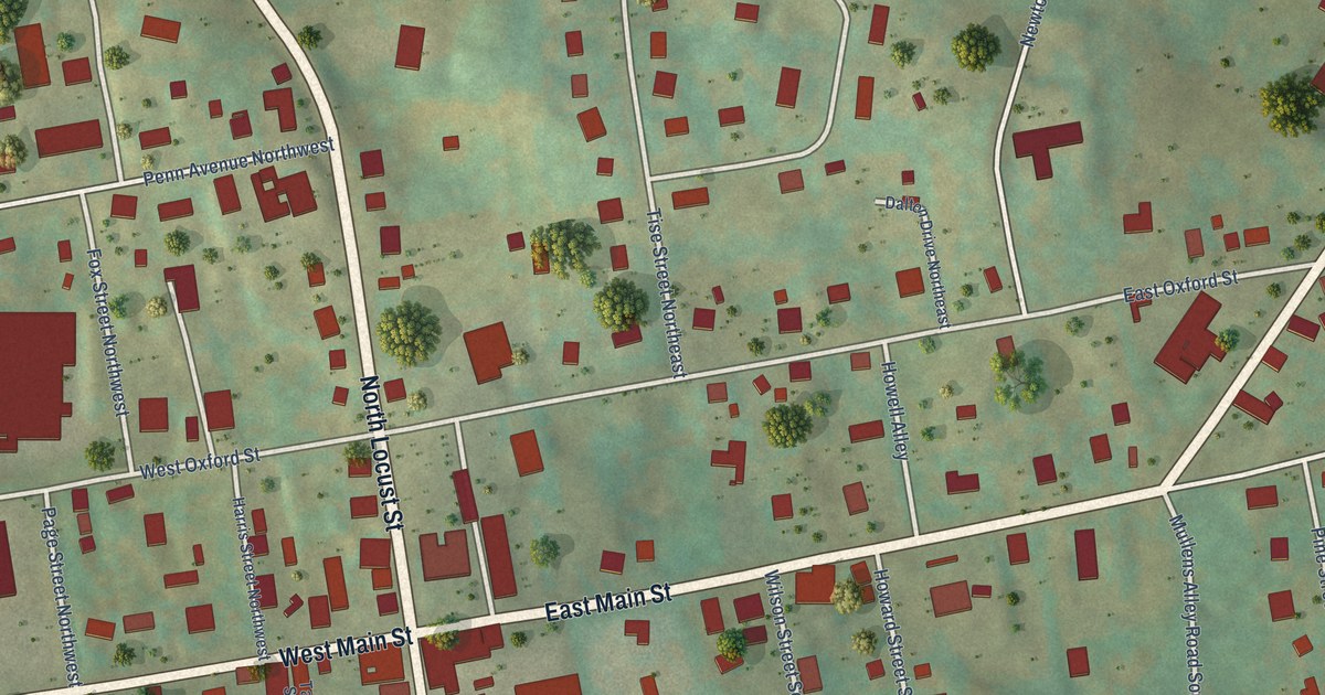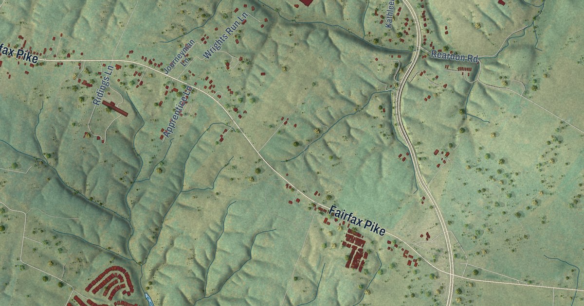
This beautifully detailed map of Armel, Virginia was created in 2026 using aerial imagery combined with modern topographical, census, street and landmark data. It’s a one-of-a-kind view of Armel that combines accurate data with a vintage aesthetic. The map shows every building in its true location, many of the roads carry their names, and the shaded topographic relief shows the shape of the land.
Explore an aerial view of Armel, Virginia
On the map you’ll find Parkins Mills, Lake Frederick, and Sherando Park, along with Front Royal Pike, Winchester Road, Fairfax Pike, Warrior Drive, Rachel Carson Drive, Chancellorsville Drive, Talamore Drive, Ridings Lane, Laurel Hill Drive, and more. If you look closely you can even find your house accurately drawn in its correct location. Zoom in on the preview to look for yours.
Take a closer look at the Armel map
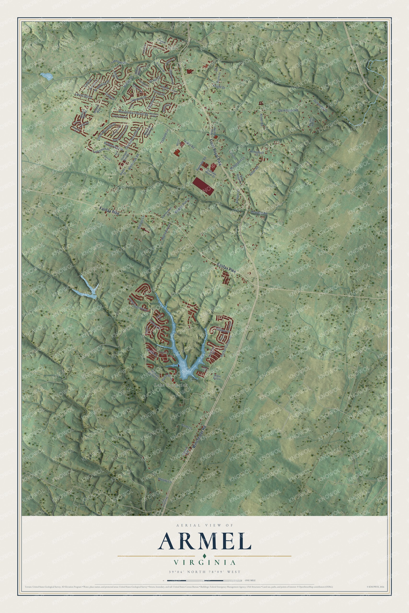
Names on this map
These names are printed on this map.
Places: Parkins Mills, Lake Frederick and Sherando Park.
Streets and roads: Front Royal Pike, Winchester Road, Fairfax Pike, Warrior Drive, Rachel Carson Drive, Chancellorsville Drive, Talamore Drive, Ridings Lane, Laurel Hill Drive, Tasker Road, White Oak Road, Armel Road.
More street names, A to Z
Apprentice Lane, Auburn Hills Court, Bald Eagle Drive, Blackburns Ford Drive, Blue Ridge Lane, Bluets Drive, Boydton Plank Drive, Brabant Drive, Brandylion Drive, Brenton Court, Bridgeport Lane, Bridgewater Drive, Caspian Drive, Cedar Mountain Drive, Clydesdale Drive, Collington Court, Corral Drive, Craig Drive, Dartmoor Drive, Dundridge Drive, Emperor Drive, Farm Lane, Fredericksburg Drive, Fries Loop Road, Gadwell Lane, Grebe Drive, Hackney Court, Harvester Drive, Heron Court, Homeplace Court, Ironweed Drive, Ivy Hill Court, Journeyman Lane, Jutland Court, Kathleen Court, Kintyre Lane, Knight Drive, Ladysmith Drive, Lakeside Drive, Lane Street, Laredo Court, Larue Lane, Lipizzaner Court, Lucy Long Court, Lynn Drive, Macedonia Ch Road, Macedonia Church Road, Marcel Drive, Marnato Manor Drive, Melody Lane, Old Kitchen Road, Owens Lane, Page Court, Paris Court, Queens Way, Rachael Carson Drive, Rainville Road, Reardon Road, Ritter Road, Sarvis Court, Shumard Court, Silent Hill Lane, Skipper Drive, Song Sparrow Drive, Spanish Oak Road, Squire Lane, Summit Avenue, Tadpole Lane, Towhee Drive, Trout Lily Drive, Trumpet Vine Drive, Turnstone Lane, Upperville Drive, Vincent Drive, Wakeland Drive, Wrights Run Drive, Wrights Run Lane, Zion Church Road.
See it on a wall
The Armel map as a framed print. Swipe for more.


This beautifully detailed map of Armel makes an attractive addition to your office, library, or den, and it can even be used to teach children the geography and history of the area. It also makes a great gift for someone who left Armel and still calls it home. When you’re done exploring, click here to get your copy of the Armel map.