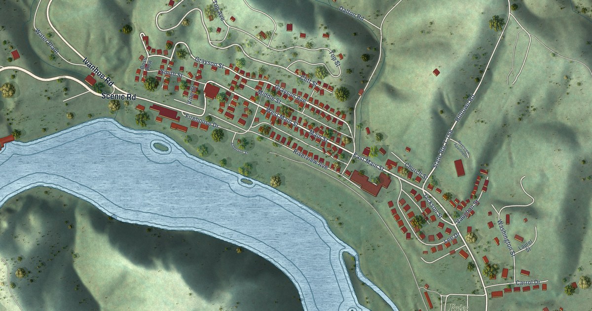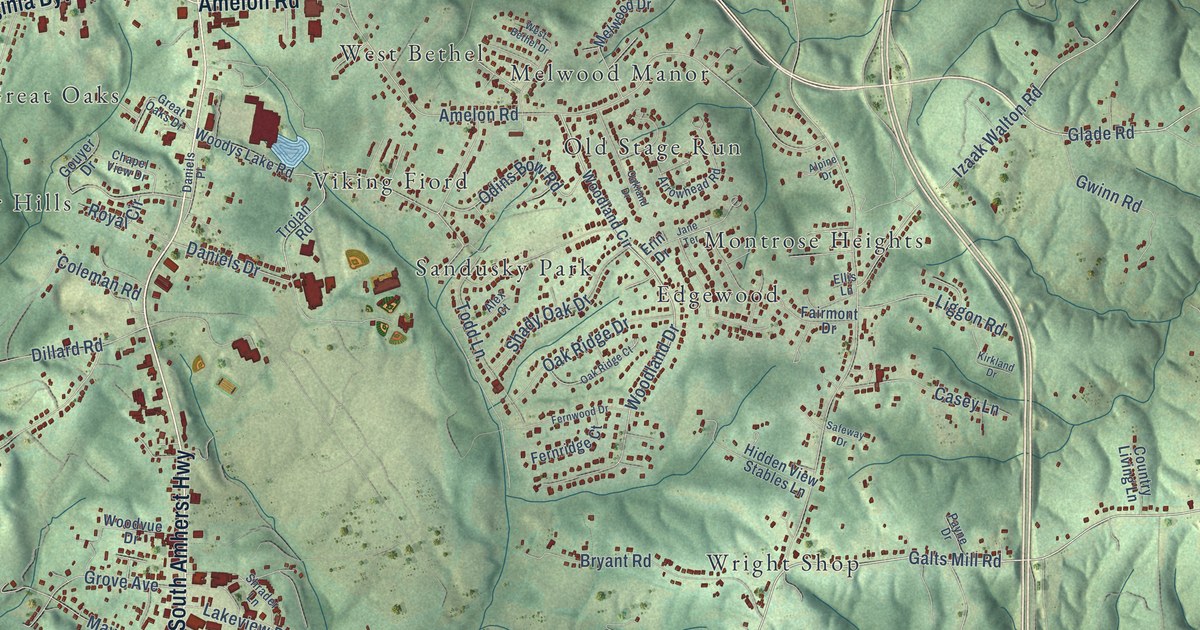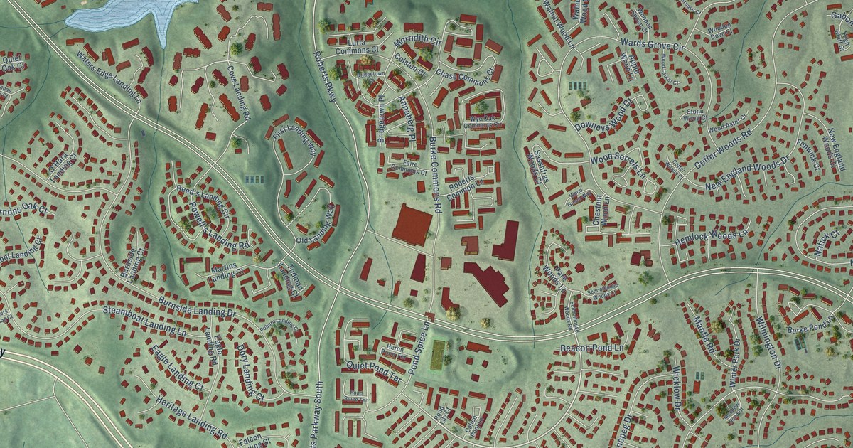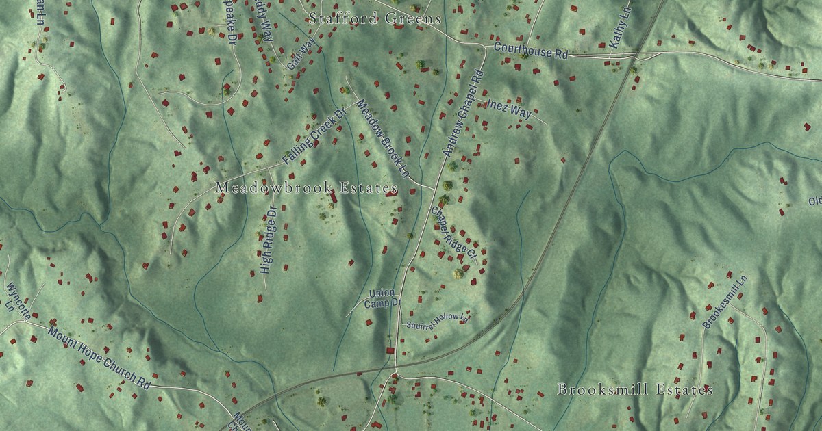
This beautifully detailed map of Brooke, Virginia was created in 2026 using aerial imagery combined with modern topographical, census, street and landmark data. It’s a one-of-a-kind view of Brooke that combines accurate data with a vintage aesthetic. The map shows every building in its true location, many of the roads carry their names, and the shaded topographic relief shows the shape of the land.
Explore an aerial view of Brooke, Virginia
On the map you’ll find Stafford Civil War Park, Summerwind, Crows Nest Harbor, Dittmeier, Brooksmill Estates, Estates of Brooke, Groves Estates, Meadowbrook Estates, Bexley Manor, Fritters Corner, Stafford Greens, Windermere, and more. If you look closely you can even find your house accurately drawn in its correct location. Zoom in on the preview to look for yours.
Take a closer look at the Brooke map
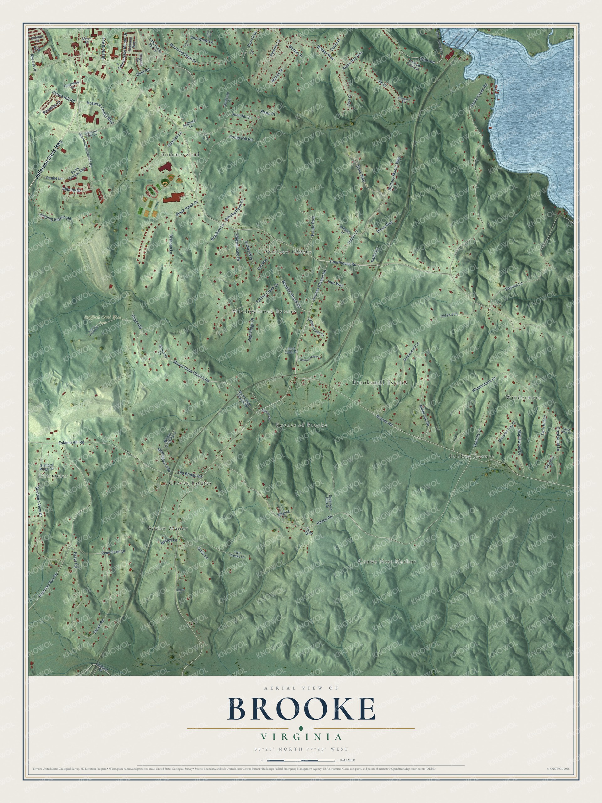
Names on this map
These names are printed on this map.
Places: Stafford Civil War Park, Summerwind, Crows Nest Harbor, Dittmeier, Brooksmill Estates, Estates of Brooke, Groves Estates, Meadowbrook Estates, Bexley Manor, Fritters Corner, Stafford Greens and Windermere.
Streets and roads: Jefferson Davis Highway, Hospital Center Boulevard, Mount Hope Church Road, Meadow Brook Lane, Courthouse Road, Brooke Road, Raven Road, Aquia Creek Road, Potomac Run Road, Eskimo Hill Road, Revell Road, Paynes Lane.
More street names, A to Z
Abberly Drive, Andrew Chapel Road, Aquia Bay Avenue, Arthurs Lane, Battery Heights Road, Bayview Overlook, Bexley Lane, Black Hawk Drive, Blossom Tree Court, Bluebird Lane, Bob White Lane, Brandons Blf, Brittany Manor Way, Brooke Point Court, Brookesmill Lane, Carolyn Court, Carroll Drive, Chapel Ridge Court, Chesapeake Drive, Clarke Hill Road, Courthouse Manor Drive, Cove Court, Crestwood Lane, Denise Street, Dent Road, Dilger Road, Dinas Way, Dishpan Lane, Doke Lane, Dons Way, Doyle Place, Estate Row, Falcon Court, Falling Creek Drive, Galt Way, Geddy Way, Grays Road, Greenhow Lane, Hamn Lane, Heirloom Way, High Ridge Drive, Holmes Street, Hope Road, Hope Springs Lane, Inez Way, Jennifer Lane, Jib Drive, Johnsons Pride Lane, Jumping Branch Road, Kathy Lane, Leeland Road, Little Rocky Run Lane, Loblolly Lane, Maplewood Drive, Millbrook Road, Millers Crossing Lane, Montague Loop, Mourning Dove Drive, Natures Lane, Old Bridge Road, Old Fort Lane, Old Potomac Church Road, Paradise Court, Peake Lane, Perkins Lane, Poplar View Drive, Porter Hill Road, Quail Run Drive, Red Oak Drive, Regents Lane, Retreat Lane, River Farm Drive, Sharp Court, Silverleaf Court, Sons Court, South Campus Boulevard, Southern View Drive, Spartan Lane, Squirrel Hollow Lane, Stafford Avenue, Stafford Ridge Road, Stallings Lane, Sycamore Hills Drive, Taft Drive, Tump Road, Twin Creeks Lane, Twin Hill Lane, Union Camp Drive, Upton Lane, Walker Way, Wendy Street, Whaling Lane, Windermere Drive, Windrush Court, Wyncotte Lane.
See it on a wall
The Brooke map as a framed print. Swipe for more.


This beautifully detailed map of Brooke makes an attractive addition to your office, library, or den, and it can even be used to teach children the geography and history of the area. It also makes a great gift for someone who left Brooke and still calls it home. When you’re done exploring, click here to get your copy of the Brooke map.