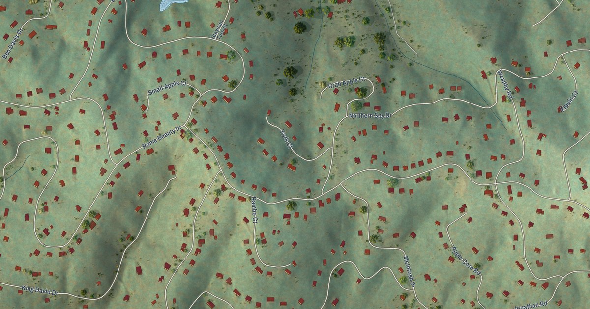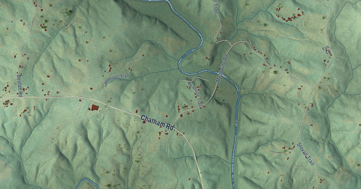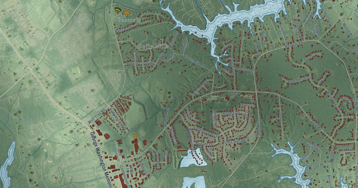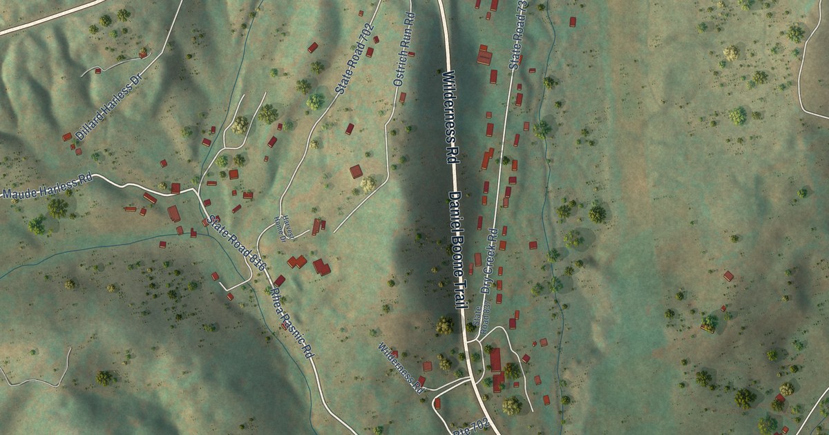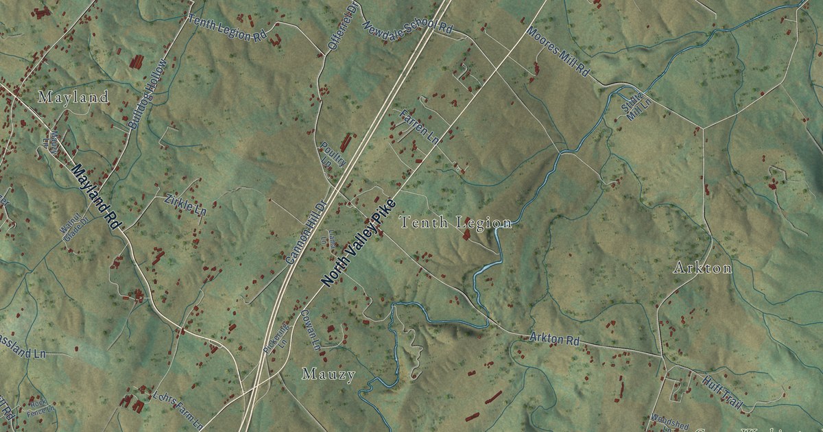
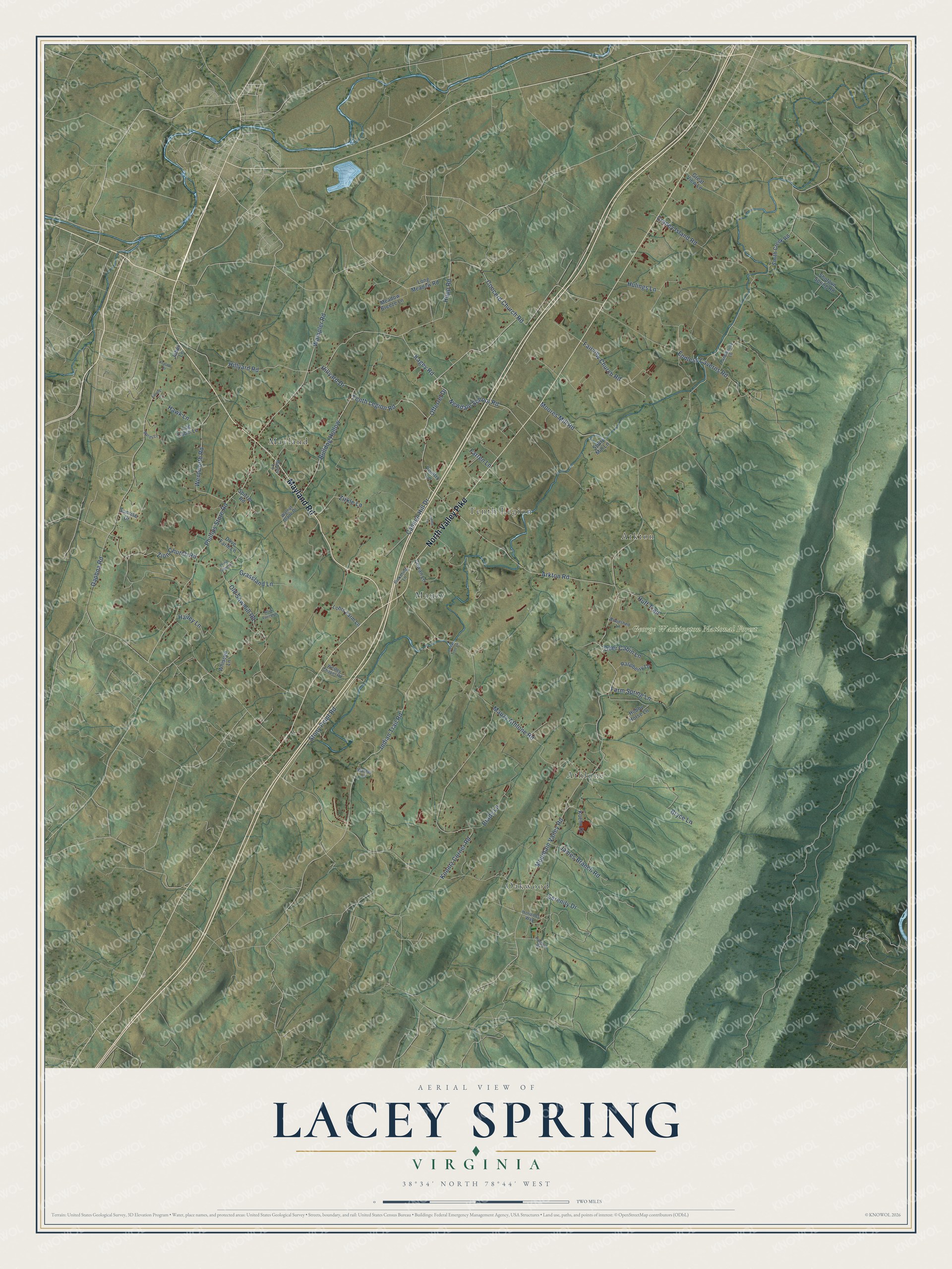
This beautifully detailed map of Lacey Spring, Virginia was created in 2026 using aerial imagery combined with modern topographical, census, street and landmark data. It’s a one-of-a-kind view of Lacey Spring that combines accurate data with a vintage aesthetic. The map shows every building in its true location, many of the roads carry their names, and the shaded topographic relief shows the shape of the land.
Explore an aerial view of Lacey Spring, Virginia
On the map you’ll find George Washington National Forest, Oakwood, Mayland, Athlone, Mauzy, Tenth Legion, Arkton, and Bulldog Hollow, along with Mayland Road, North Valley Pike, Tenth Legion Road, Hillyard Drive, and more. If you look closely you can even find your house accurately drawn in its correct location. Zoom in on the preview to look for yours.
Did You Know?
From Internet Archive: "At Lacey Spring, ten miles above New Market, one may look down from the Pike almost into the great spring that leaps out of the bluff in volume strong enough to run a flour mill."
Lacey Spring is a community in Rockingham County.
Take a closer look at the Lacey Spring map
Names on this map
These names are printed on this map.
Places: George Washington National Forest, Oakwood, Mayland, Athlone, Mauzy, Tenth Legion and Arkton.
Streets and roads: Mayland Road, North Valley Pike, Tenth Legion Road, Bulldog Hollow, Hillyard Drive, Newdale School Road, Phillips Store Road, Serenity Drive, Mountain Valley Road, Mauzy Athlone Road, Daphna Road, Koontz Corner Road.
More street names, A to Z
Arkton Road, Brady Lane, Bryce Lane, Cannon Hill Drive, Cedar Tree Lane, Concord Church Road, Cowan Lane, Craney Island Road, Deer Cabin Lane, Dove Farm Lane, Endless Caverns Road, Fairview Church Road, Fansler Lane, Farmhouse Lane, Farm Spring Lane, Farren Lane, Grassland Lane, Great View Lane, Hailey Lane, Hawk Lane, Hillyard Road, Hobby Horse Lane, Horizons Way, Huff Trail, Hulings Lane, Hupp Road, Indian Trail Road, James Branch Road, Jobel Lane, Kagey Road, Koehn Drive, Krystal Drive, Llama Lane, Log Cabin Lane, Lohrs Farm Lane, Long Meadow Road, Mauzy Lane, Meadow Breeze Lane, Moores Mill Road, Offerrel Drive, Old Sawmill Road, Pickering Lane, Poultry Lane, Ragtown Road, Raspberry Lane, Rock Fence Lane, Shotgun Spring Road, Smith Creek Road, Spitzer Road, Stony Point Road, Stultz Mill Lane, Sunrise Drive, Walnut Glade Drive, Wampler Road, Wards Lane, Warner Lane, Wentworth Road, Wesley Chapel Road, Whissen Lane, Wind Song Lane, Woodshed Lane, Zion Church Road, Zirkle Lane.
See it on a wall
The Lacey Spring map as a framed print. Swipe for more.


This beautifully detailed map of Lacey Spring makes an attractive addition to your office, library, or den, and it can even be used to teach children the geography and history of the area. It also makes a great gift for anyone with Lacey Spring roots. When you’re done exploring, click here to get your copy of the Lacey Spring map.