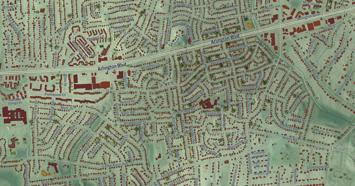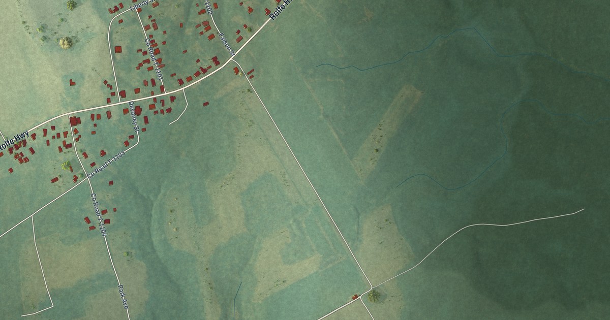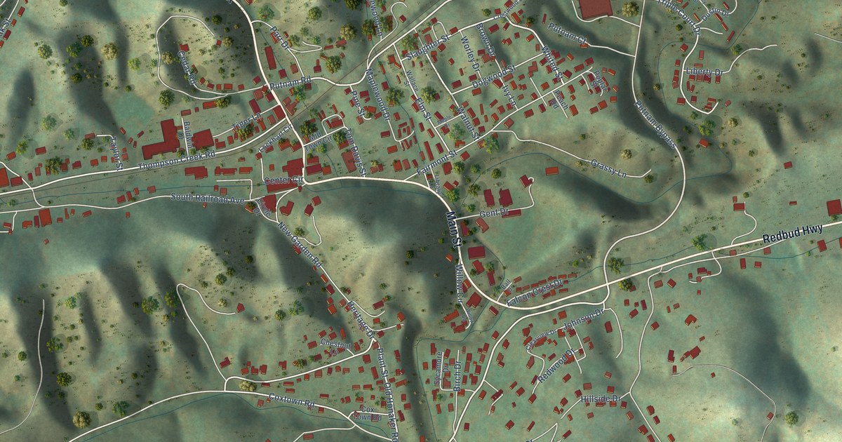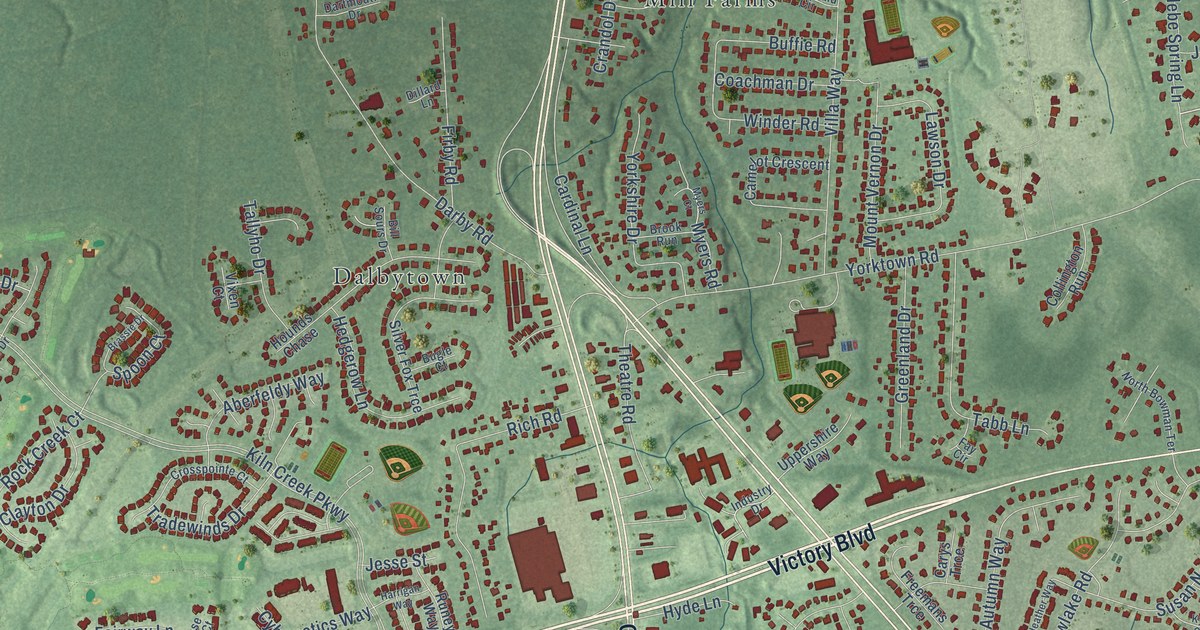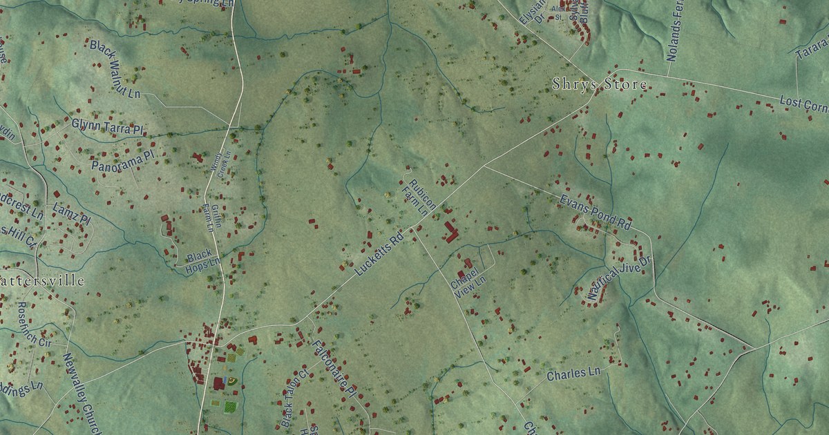
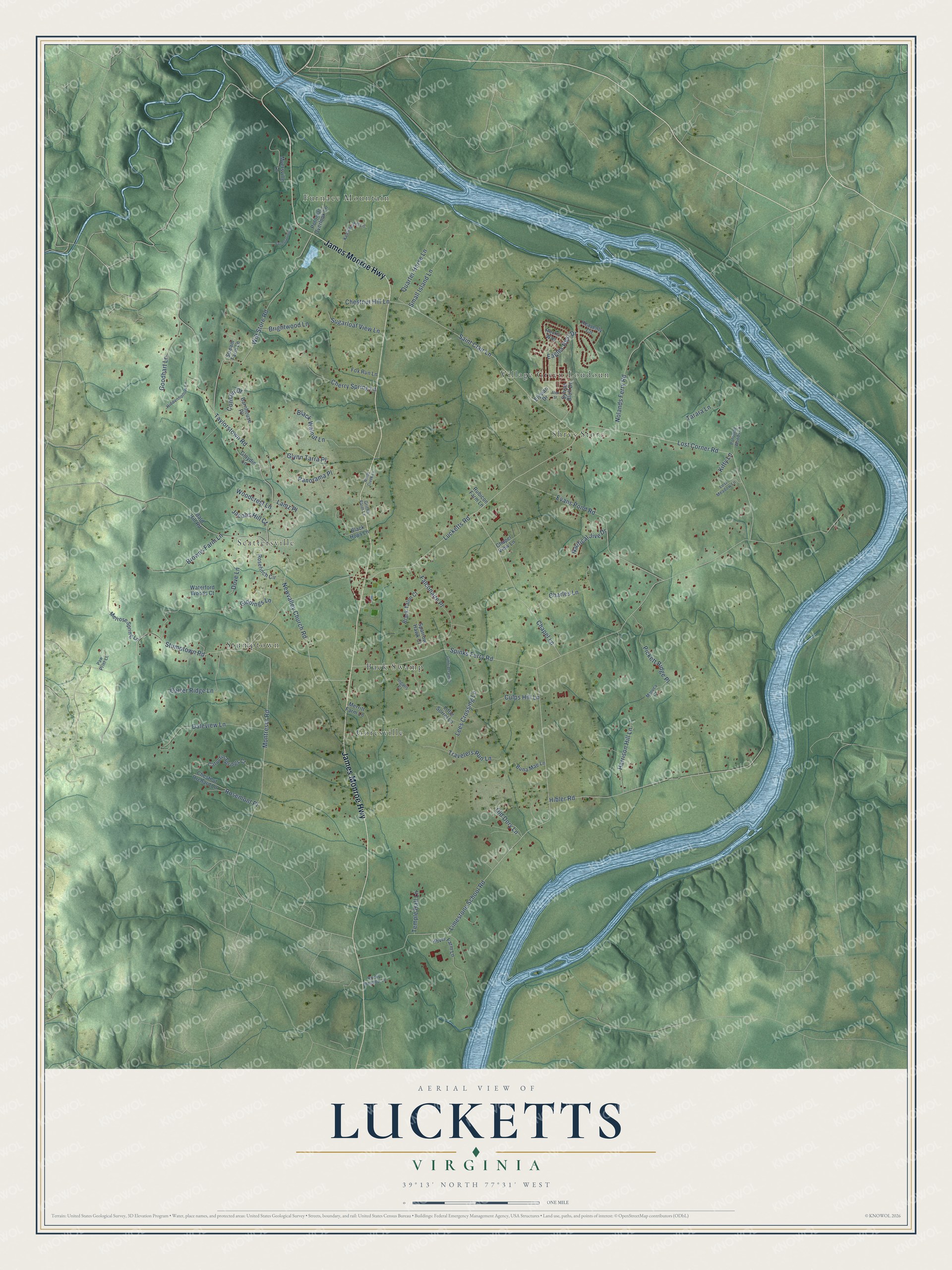
This beautifully detailed map of Lucketts, Virginia was created in 2026 using aerial imagery combined with modern topographical, census, street and landmark data. It’s a one-of-a-kind view of Lucketts that combines accurate data with a vintage aesthetic. The map shows every building in its true location, many of the roads carry their names, and the shaded topographic relief shows the shape of the land.
Explore an aerial view of Lucketts, Virginia
On the map you’ll find Scattersville, Furnace Mountain, Shrys Store, Goresville, Back Swamp, Stumptown, and Village Green Loudoun, along with James Monroe Highway, Lucketts Road, Taylorstown Road, Eagles Rest Drive, Saint Clair Lane, and more. If you look closely you can even find your house accurately drawn in its correct location. Zoom in on the preview to look for yours.
Take a closer look at the Lucketts map
Names on this map
These names are printed on this map.
Places: Scattersville, Furnace Mountain, Shrys Store, Goresville, Back Swamp, Stumptown and Village Green Loudoun.
Streets and roads: James Monroe Highway, Lucketts Road, Taylorstown Road, Eagles Rest Drive, Saint Clair Lane, Spinks Ferry Road, Limestone School Road, Stumptown Road, Hibler Road, Lost Corner Road, Montresor Road, Wilt Store Road.
More street names, A to Z
Alex Street, Bald Hill Road, Barnhouse Place, Black Hops Lane, Black Talon Court, Black Walnut Lane, Brightwood Lane, Browns Farm Lane, Buna Mae Lane, Carter Ridge Lane, Catoctin Springs Court, Chapel Lane, Chapel View Lane, Charles Lane, Cherry Spring Lane, Chestnut Hill Lane, Chestnut Orchard Lane, Confederate Court, Conklin Drive, Culps Hill Lane, Daleview Lane, Dove Lane, Elysian Drive, Evans Pond Road, Falconaire Place, Fox Run Lane, Giddings Lane, Glaydin Lane, Glynn Tarra Place, Goodhart Lane, Griffin Farm Lane, Harrison Hill Lane, Heavenly Circle, Hiddenhollow Lane, Ingalls Court, Jacobs Hill Court, Kenslee Hill Lane, Kitty Lane, Lamz Place, Lees Crossing Lane, Little Sorrel Lane, Lost Meadow Lane, Maruca Court, Melrose Spring Lane, Merritt Farm Lane, Myersville Lane, Nautical Jive Drive, Newvalley Church Road, Nolands Ferry Road, Old Dory Lane, Panorama Place, Paw Print Lane, Pickett Ridge Place, Potomac Overlook Lane, Potomac Woods Lane, Quarter Horse Lane, River Farm Lane, Rocks Way, Rocky Meadow Lane, Rosefinch Circle, Rosemont Place, Rubicon Farm Lane, Small Island Lane, Sparrow Hawk Court, Stream Farm Lane, Sugarloaf View Lane, Sweetspring Lane, Sylvan Bluff Drive, Tarara Lane, Temple Hall Lane, Travelers Run Lane, Waterford Woods Court, Windy Creek Lane, Woodcrest Lane.
See it on a wall
The Lucketts map as a framed print. Swipe for more.


This beautifully detailed map of Lucketts makes an attractive addition to your office, library, or den, and it can even be used to teach children the geography and history of the area. It also makes a great gift for anyone who grew up in Lucketts or moved away. When you’re done exploring, click here to get your copy of the Lucketts map.