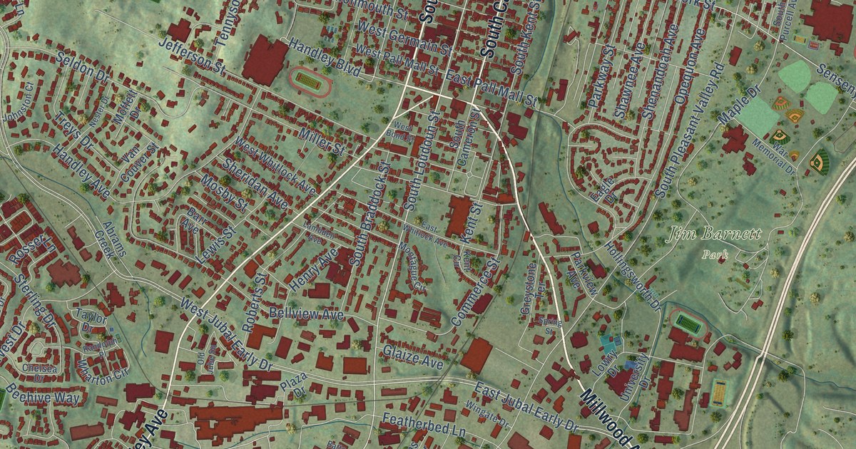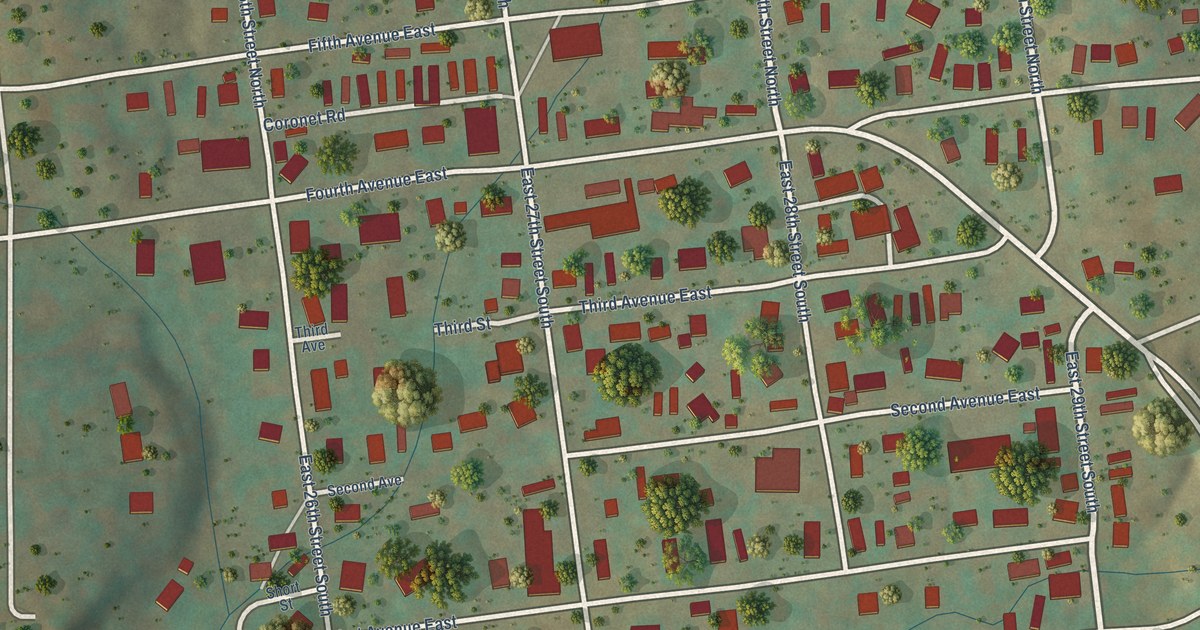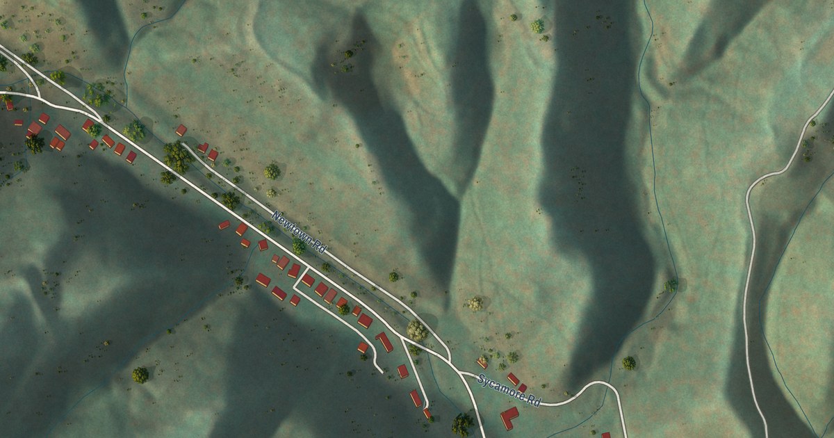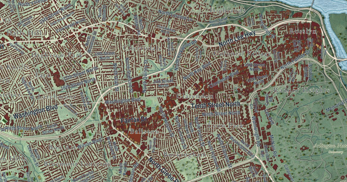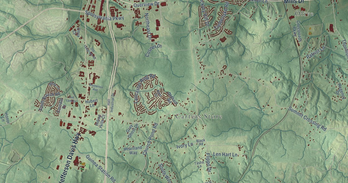
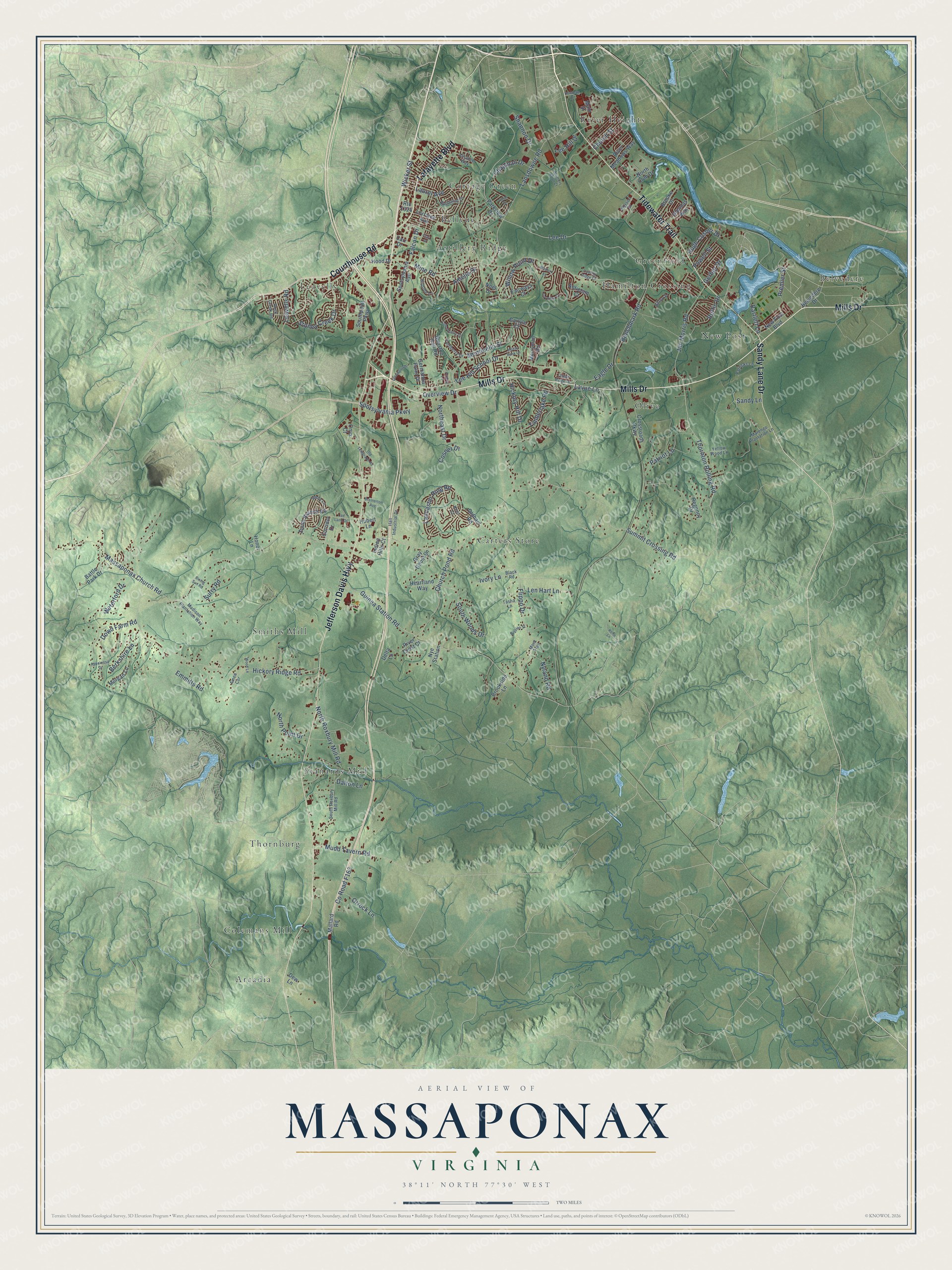
This beautifully detailed map of Massaponax, Virginia was created in 2026 using aerial imagery combined with modern topographical, census, street and landmark data. It’s a one-of-a-kind view of Massaponax that combines accurate data with a vintage aesthetic. The map shows every building in its true location, many of the roads carry their names, and the shaded topographic relief shows the shape of the land.
Explore an aerial view of Massaponax, Virginia
On the map you’ll find Carters Store, Arcadia, Belvedere, Bellvue, Stanards Mill, Leavells, Olive, Hamilton Crossing, Smiths Mill, Thornburg, New Post, Colemans Mill, and more. If you look closely you can even find your house accurately drawn in its correct location. Zoom in on the preview to look for yours.
Did You Know?
From Internet Archive: "Jackson's corps on its arrival at the end of November was posted a few miles south of the Massaponax, in the neighborhood of Guinea Station on the Richmond and Fredericksburg Railroad."
Massaponax is a community in Spotsylvania County.
Take a closer look at the Massaponax map
Names on this map
These names are printed on this map.
Places: Carters Store, Arcadia, Belvedere, Bellvue, Stanards Mill, Leavells, Olive, Hamilton Crossing, Smiths Mill, Thornburg, New Post, Colemans Mill, Greenfield, Artillery Ridge, Cottage Green and River Heights.
Streets and roads: Mills Drive, Jefferson Davis Highway, Tidewater Trail, Courthouse Road, Lafayette Boulevard, Sandy Lane Drive, Lee Drive, Overview Drive, Thornton Rolling Road, Massaponax Church Road, Mine Road, Guinea Station Road.
More street names, A to Z
Airdrie Lane, Alliance Way, Amelia Drive, Amen Cor, Antietam Court, Appaloosa Drive, Bartlett Lane, Battle Park Drive, Belvedere Drive, Benchmark Road, Berkshire Lane, Betsy Street, Black Road, Bowman Drive, Braxton Street, Bremerton Avenue, Brooke Drive, Brookside Lane, Butternut Drive, Carlyle Court, Carolina Court, Carr Drive, Cavalry Ridge Court, Chapman Drive, Church Pond Road, Church Street, Clay Street, Colechester Street, Corridor Drive, Cosner Drive, Crossroads Parkway, Dalton Lane, Delta Lane, Dew Lane, Dowd Farm Road, Eagle Drive, Emmitts Road, Fairways Court, Falcon Drive, Flippo Drive, Gerber Drive, Germanna Point Drive, Glendas Way, Glenwood Drive, Gray Ghost Lane, Gunston Hall Road, Hall Industrial Drive, Heartland Way, Hickory Hill Drive, Hickory Ridge Road, Hillside Lane, Honor Lane, Hood Drive, Hubert Lane, Hugh Cosner Drive, Indian Hills Court, Ivory Lane, Jenny Lane, Jim Morris Road, Kehn Lane, Kent Court, Lad Land Drive, Lancaster Ring Road, Lansdowne Road, Latimers Knoll Court, Laurel Avenue, Lavue Lane, Leavells Road, Lee Hill Drive, Lee Hill School Drive, Len Hart Lane, Lorraine Avenue, Madison Plantation Way, Main Street, Mallard Road, Marengo Plantation Lane, Merryman Road, Monticello Street, Mont Trail, Morgan Lane, Mossy Bank Lane, Mudd Tavern Road, New Post Boulevard, Noel Drive, North Club Drive, Northeast Drive, North Point Drive, North Roxbury Mill Road, Nye Station, Nyland Road, Oldham Road, Old Telegraph Road, Onyx Court, Orrock Lane, Parkview Drive, Patricks Lane, Patriot Lane, Pierson Drive, Powell Street, Premier Street, Regency Drive, Rising Sun Road, River Crest Court, River Meadows Way, Rock Creek Road, Route 1324, Ruffin Drive, Sandy Lane, Shannon Drive, South Branch Road, Southpoint Parkway, South Roxbury Mill Road, South Woods Drive, Spotsylvania Avenue, Spotsylvania Parkway, Stoney Creek Drive, Summit Crossing Road, Surry Road, Tasha Lane, Teton Drive, Timberlake Road, Timber Ridge Drive, Turnberry Drive, Waterford Drive, Watford Lane, Wicker Street, Willow Point Drive, Wood Lane, Yellow Wood Lane.
See it on a wall
The Massaponax map as a framed print. Swipe for more.


This beautifully detailed map of Massaponax makes an attractive addition to your office, library, or den, and it can even be used to teach children the geography and history of the area. It also makes a great gift for anyone with Massaponax roots. When you’re done exploring, click here to get your copy of the Massaponax map.