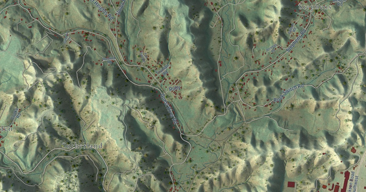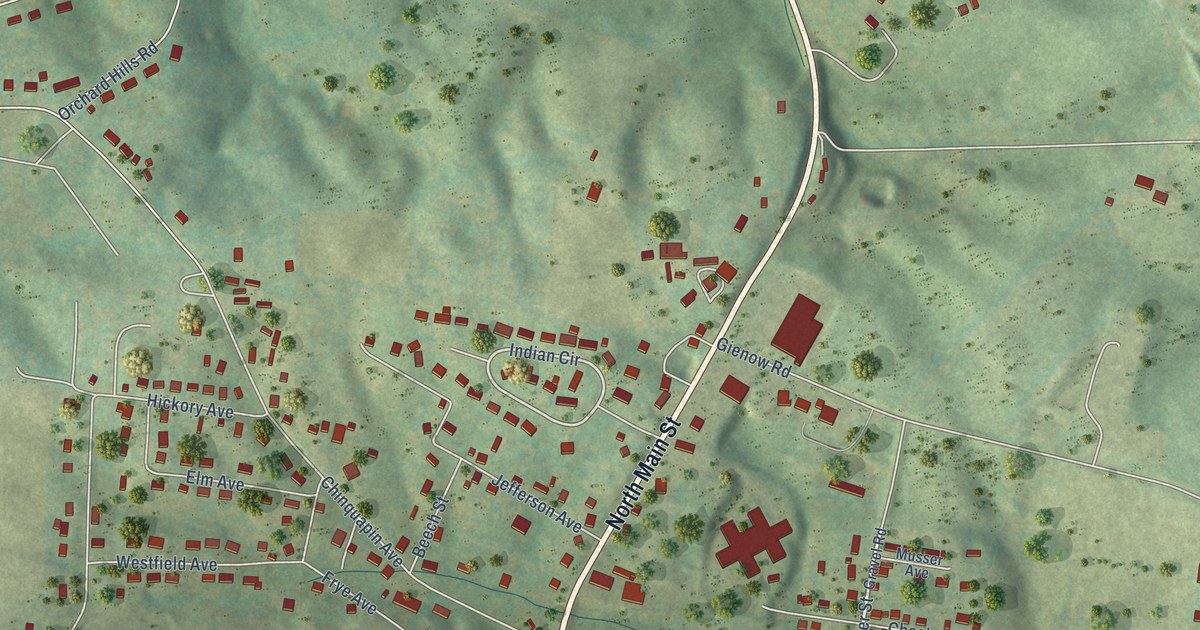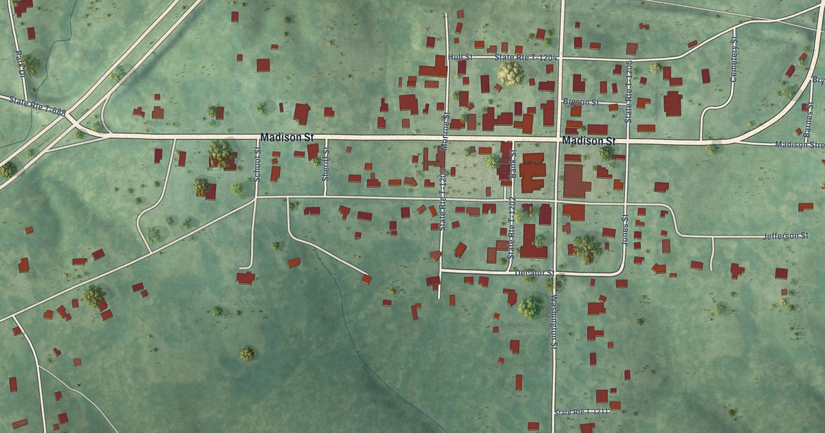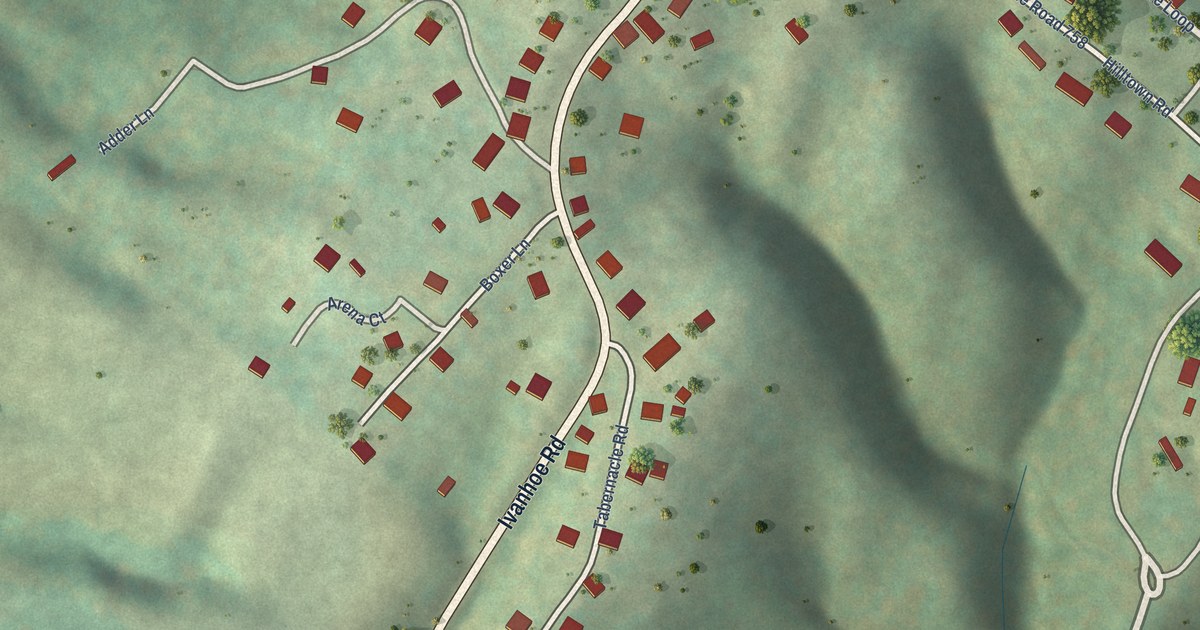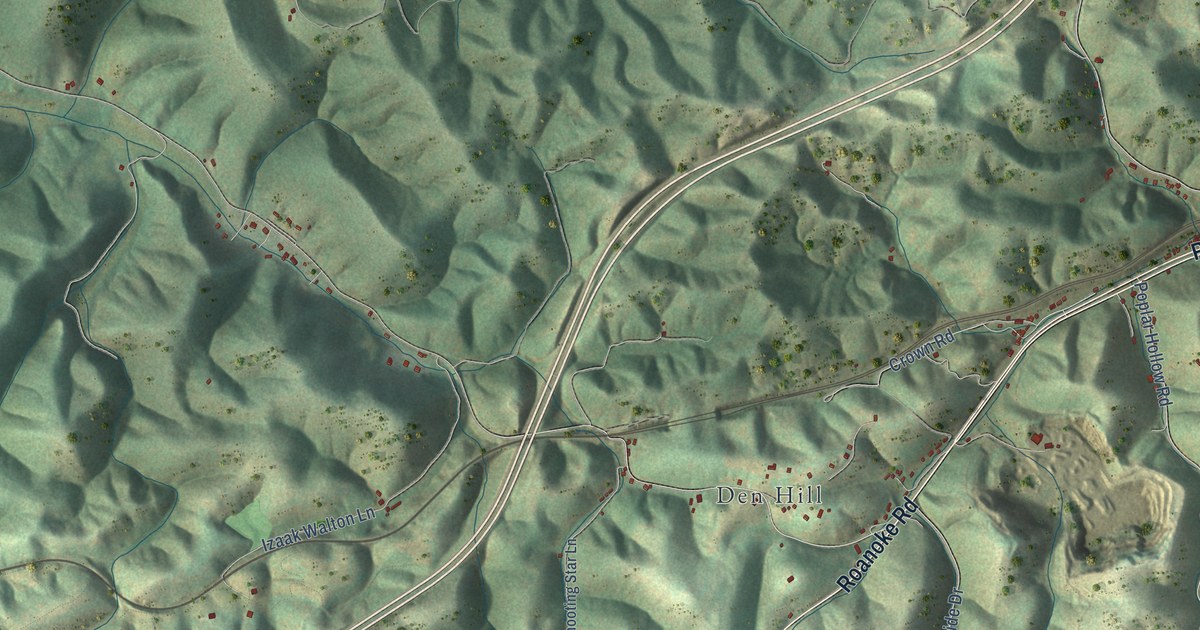
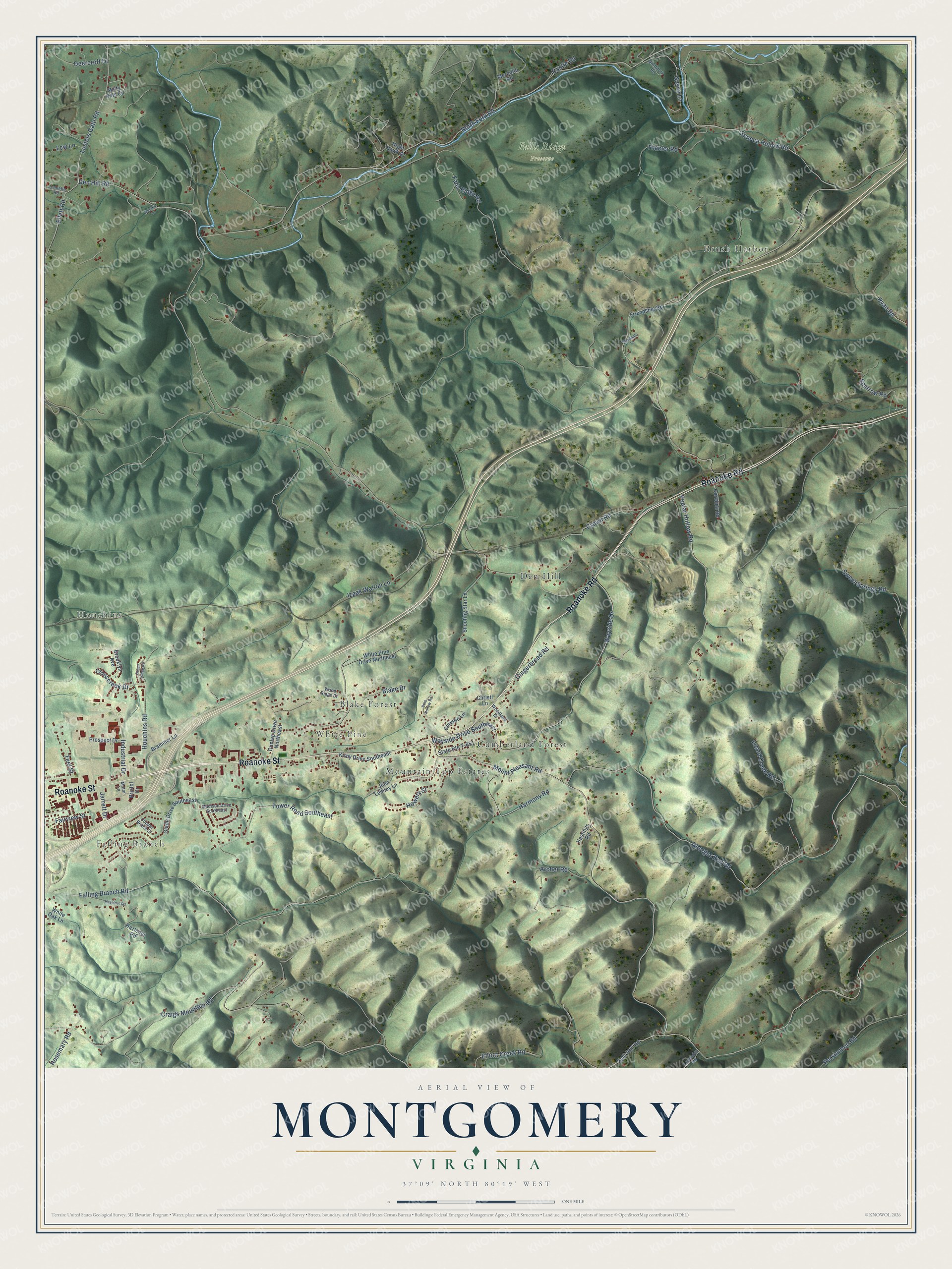
This beautifully detailed map of Montgomery, Virginia was created in 2026 using aerial imagery combined with modern topographical, census, street and landmark data. It’s a one-of-a-kind view of Montgomery that combines accurate data with a vintage aesthetic. The map shows every building in its true location, many of the roads carry their names, and the shaded topographic relief shows the shape of the land.
Explore an aerial view of Montgomery, Virginia
On the map you’ll find Falling Branch, Brush Harbor, Houchins, White Pine, Falls Ridge Preserve, Den Hill, Cumberland Forest, Blake Forest, and Mountain Top Estates, along with Roanoke Street, Roanoke Road, Harmony Road, and more. If you look closely you can even find your house accurately drawn in its correct location. Zoom in on the preview to look for yours.
Did You Know?
From Internet Archive: "In 1869 he went from Virginia to Alabama as an assistant to his eldest brother, in teaching a school at the capital of the State, Montgomery."
Montgomery is a community in Montgomery County.
Take a closer look at the Montgomery map
Names on this map
These names are printed on this map.
Places: Falling Branch, Brush Harbor, Houchins, White Pine, Falls Ridge Preserve, Den Hill, Cumberland Forest, Blake Forest and Mountain Top Estates.
Streets and roads: Roanoke Street, Roanoke Road, Harmony Road, Mount Pleasant Road, Den Hill Road, Poplar Hollow Road, North Fork Road, Georges Run Road, Craigs Mountain Road, Falling Branch Road, Seneca Hollow Road, Tower Road Southeast.
More street names, A to Z
Archer Road, Blake Drive, Brammer Lane, Bristol Drive, Brooklyn Avenue, Carolina Road, Castle Road, Christie Lane, Christi Lane, Copper Beach Court, Crosscreek Drive, Crown Road, Deercroft Drive, Dunlap Drive Northeast, Ellett Road, Elliott Creek Road, Fairview Street, Falls Ridge Road, Friendship Road, Gingerbread Road, Glade Drive Southeast, Green Ridge Road, Guynn Lane, Hastings Road, Hazelnut Road, Hazlenut Road, Houchins Road, Howery Street, Industrial Drive, Izaak Walton Lane, Jarrett Drive, Jennelle Road, John Lemley Lane, Kirby Drive Southeast, Lavender Road, Lcw Lane, Lizard Creek Road, Lusters Gate Road, Madison Drive Southeast, Mayapple Lane, Meerkat Lane, Meredith Road, Misty Hills Circle, Motor Lane, Night Hawk Drive, Northfork Road, Persimmon Road, Pine Hollow Road, Prospect Drive, Rosemary Road, Ryan Road, Shooting Star Lane, Sparrow Road, Split Rail Road, State Route T-651, Sweet Springs Road, Teel Street, Thacler Road, Wayside Drive, Wayside Drive Southeast, White Oak Lane, White Pine Drive Northeast, Woodland Drive, Wood Ridge Drive.
See it on a wall
The Montgomery map as a framed print. Swipe for more.


This beautifully detailed map of Montgomery makes an attractive addition to your office, library, or den, and it can even be used to teach children the geography and history of the area. It also makes a great gift for anyone who grew up in Montgomery or moved away. When you’re done exploring, click here to get your copy of the Montgomery map.