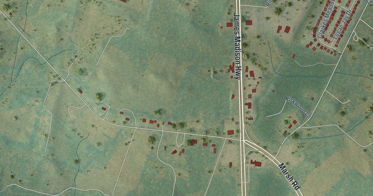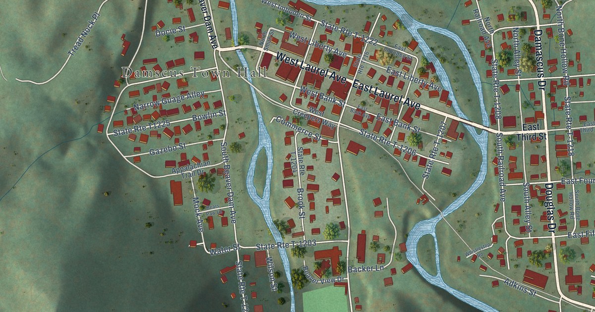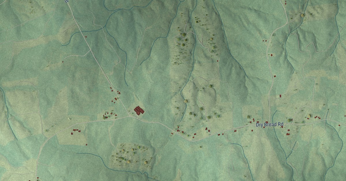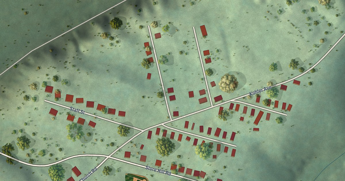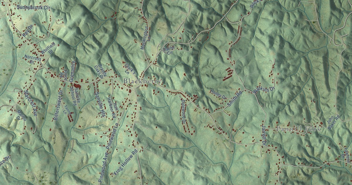
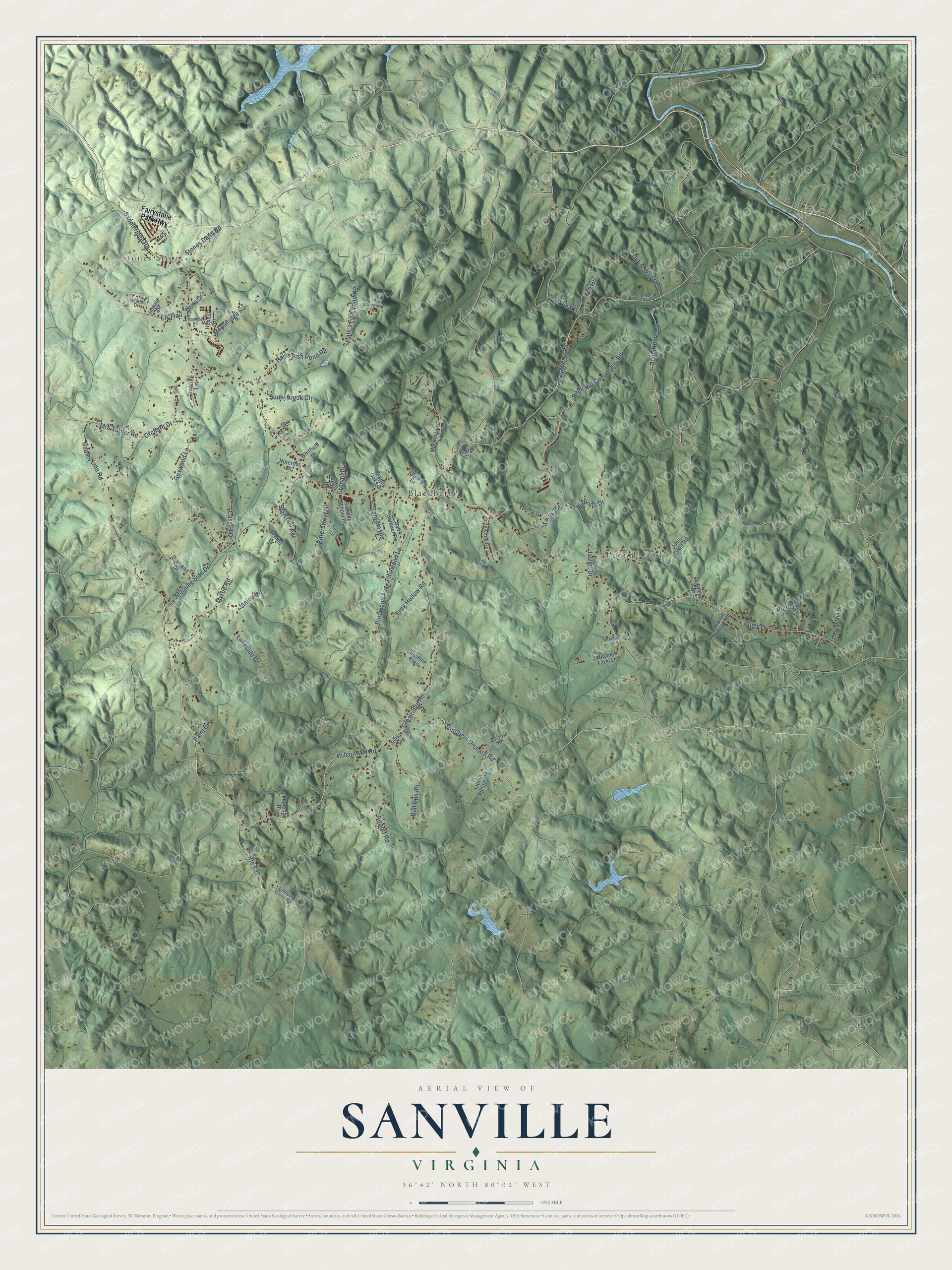
This beautifully detailed map of Sanville, Virginia was created in 2026 using aerial imagery combined with modern topographical, census, street and landmark data. It’s a one-of-a-kind view of Sanville that combines accurate data with a vintage aesthetic. The map shows every building in its true location, many of the roads carry their names, and the shaded topographic relief shows the shape of the land.
Explore an aerial view of Sanville, Virginia
On the map you’ll find Stones Store, Pannill Fork, and Blackberry, along with County Line Road, Wilson Mill Road, Stones Dairy Road, Blackberry Road, Crestridge Road, Elf Trail, Valley Drive, Jarrett Drive, Morning Side Drive, and more. If you look closely you can even find your house accurately drawn in its correct location. Zoom in on the preview to look for yours.
Take a closer look at the Sanville map
Names on this map
These names are printed on this map.
Places: Stones Store, Pannill Fork and Blackberry.
Streets and roads: County Line Road, Route 627, Wilson Mill Road, Stones Dairy Road, Blackberry Road, Crestridge Road, Elf Trail, Valley Drive, Jarrett Drive, Morning Side Drive, Orchard Drive, Hale's Fish Pond Road.
More street names, A to Z
Airport Road, Amber Drive, Beech Heights, Betty Taylor Road, Bittersweet Drive, Boxwood Lane, Brandy Oaks Drive, Bull Run Road, Cassell Drive, Clark's Lane, Crabtree Lane, Crestview Drive, Dalewood Drive, Darrel Circle, Delta Drive, Diamond Drive, Fairystone Park Highway, Fiddlers Green Road, Frog Hollow Road, Grenadire, Hales Fish Pond Road, Hall Harbour Road, Hephill Drive, Honey Drive, Impala Drive, Indian Village Road, Janice Drive, John Baker Road, John Henry Road, Joyce Road, Key Drive, Lakeside Drive, Lauren Mill Drive, Lawless Drive, Malibu Drive, Manning Road, Mapleridge Road, Mitchell Farm Lane, Mockingbird Lane, Montclair Drive, Mrs Turner Road, Myrtle Road, Norcross Drive, Out-A-Way Drive, Palm Drive, Peach Court, Pinewood Avenue, Pinewood Lane, Pruitt Drive, Reliance Drive, Rock Hill Community Road, Saddleridge Road, Sanville Heights, Sanville School Road, Shadow Drive, Smith Road, Softwin Drive, Starcrest Avenue, Stonewood Drive, Sunnybrook Circle, Sunshine Trail, Tanner Lane, Via Court, Walnut Acres Road, Watkins Drive, Whitfield Drive, Wingfield Orchard Road.
See it on a wall
The Sanville map as a framed print. Swipe for more.


This beautifully detailed map of Sanville makes an attractive addition to your office, library, or den, and it can even be used to teach children the geography and history of the area. It also makes a great gift for someone who left Sanville and still calls it home. When you’re done exploring, click here to get your copy of the Sanville map.