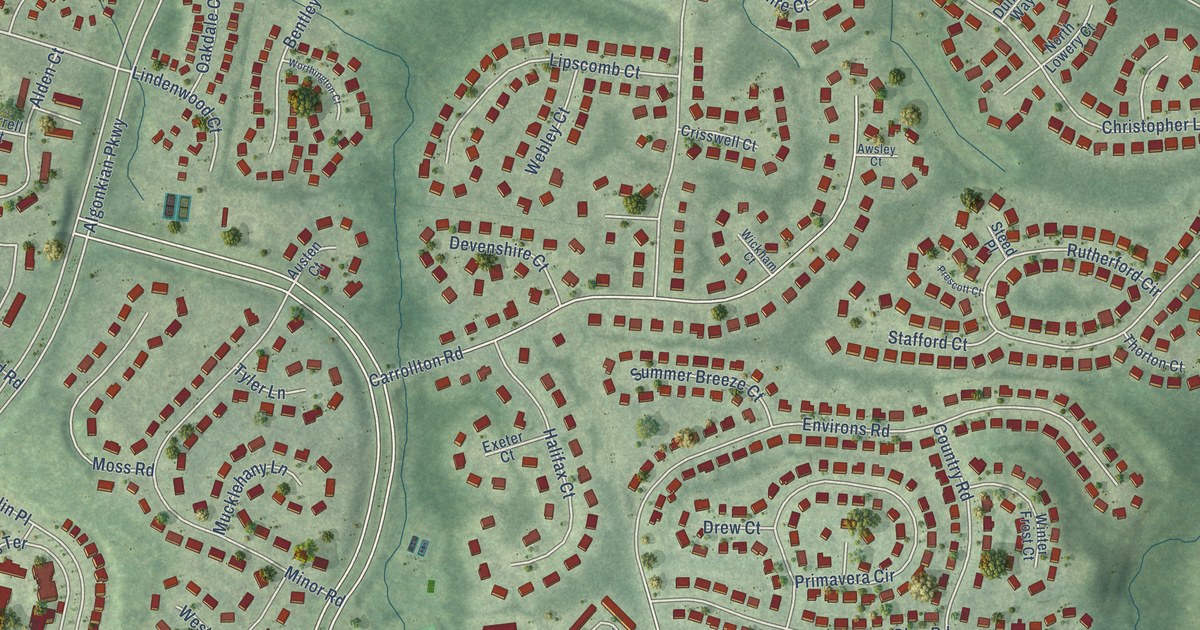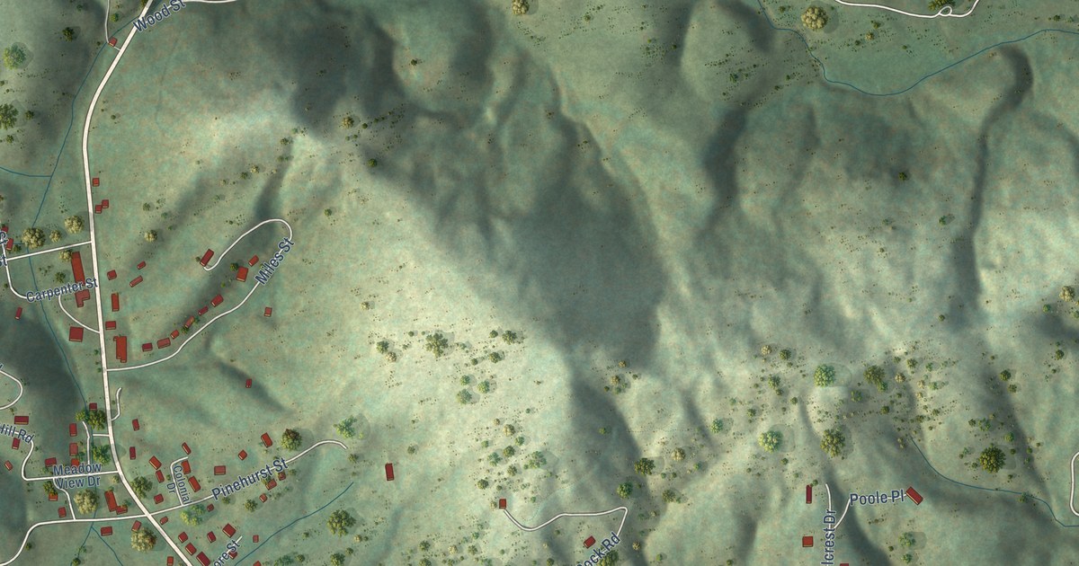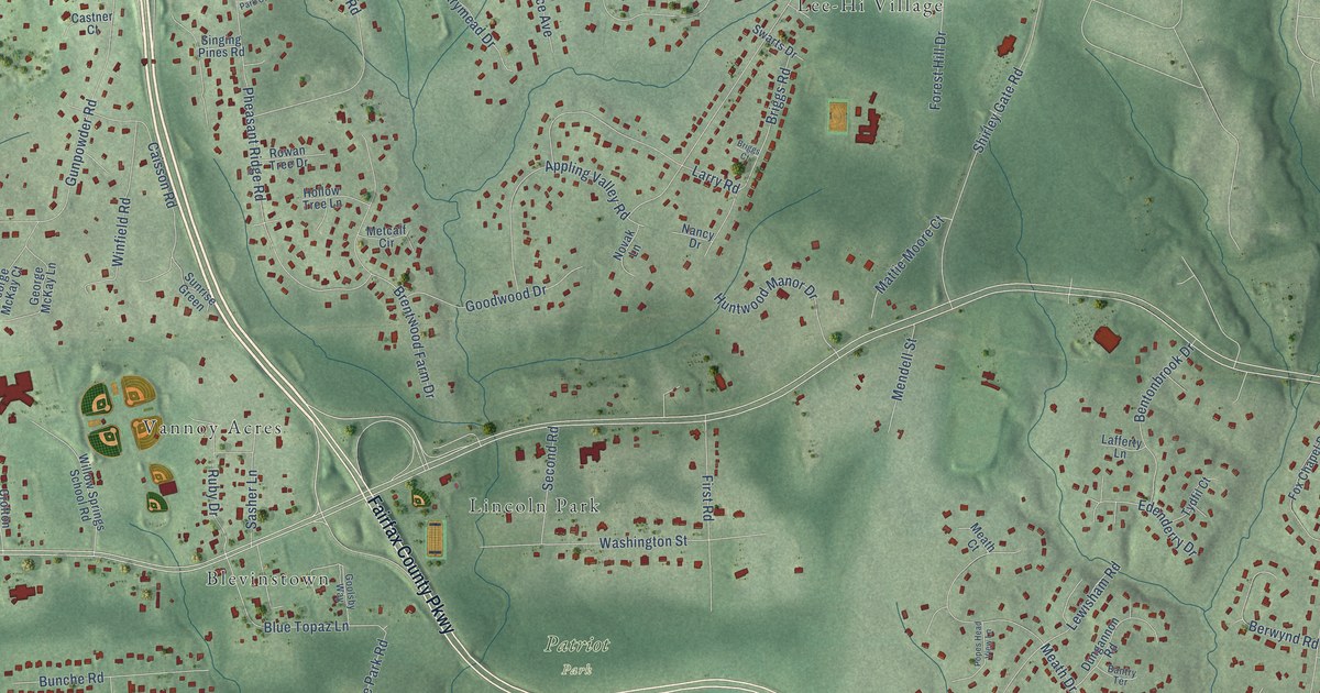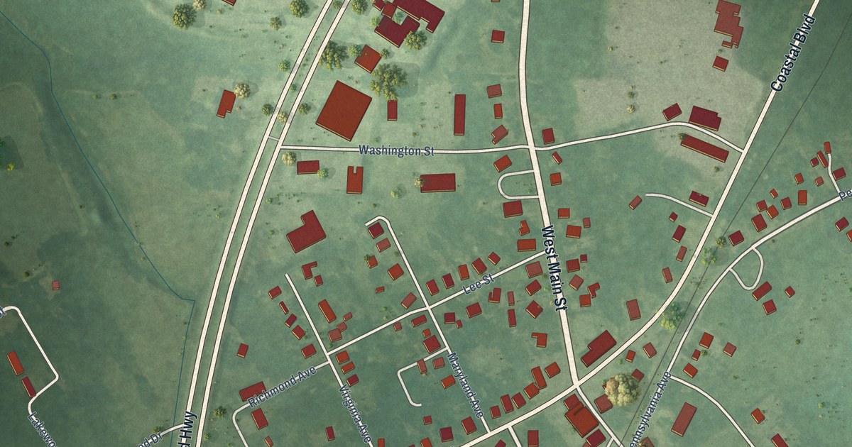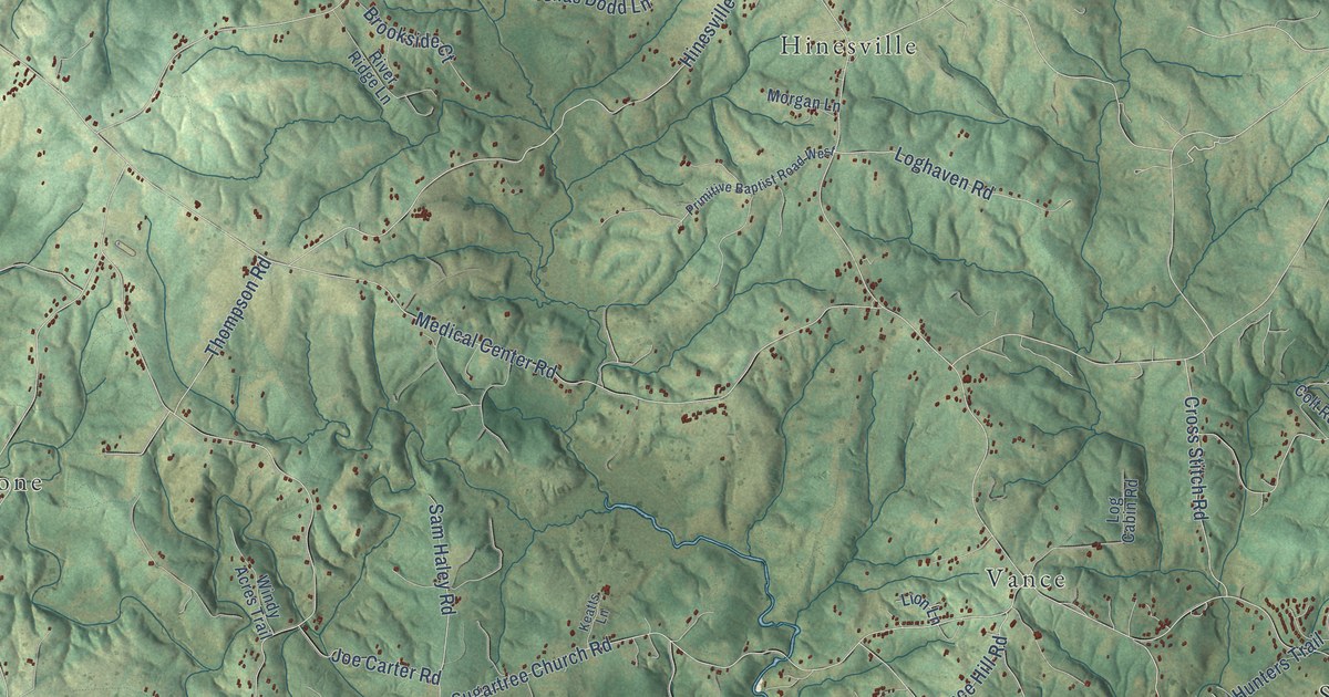
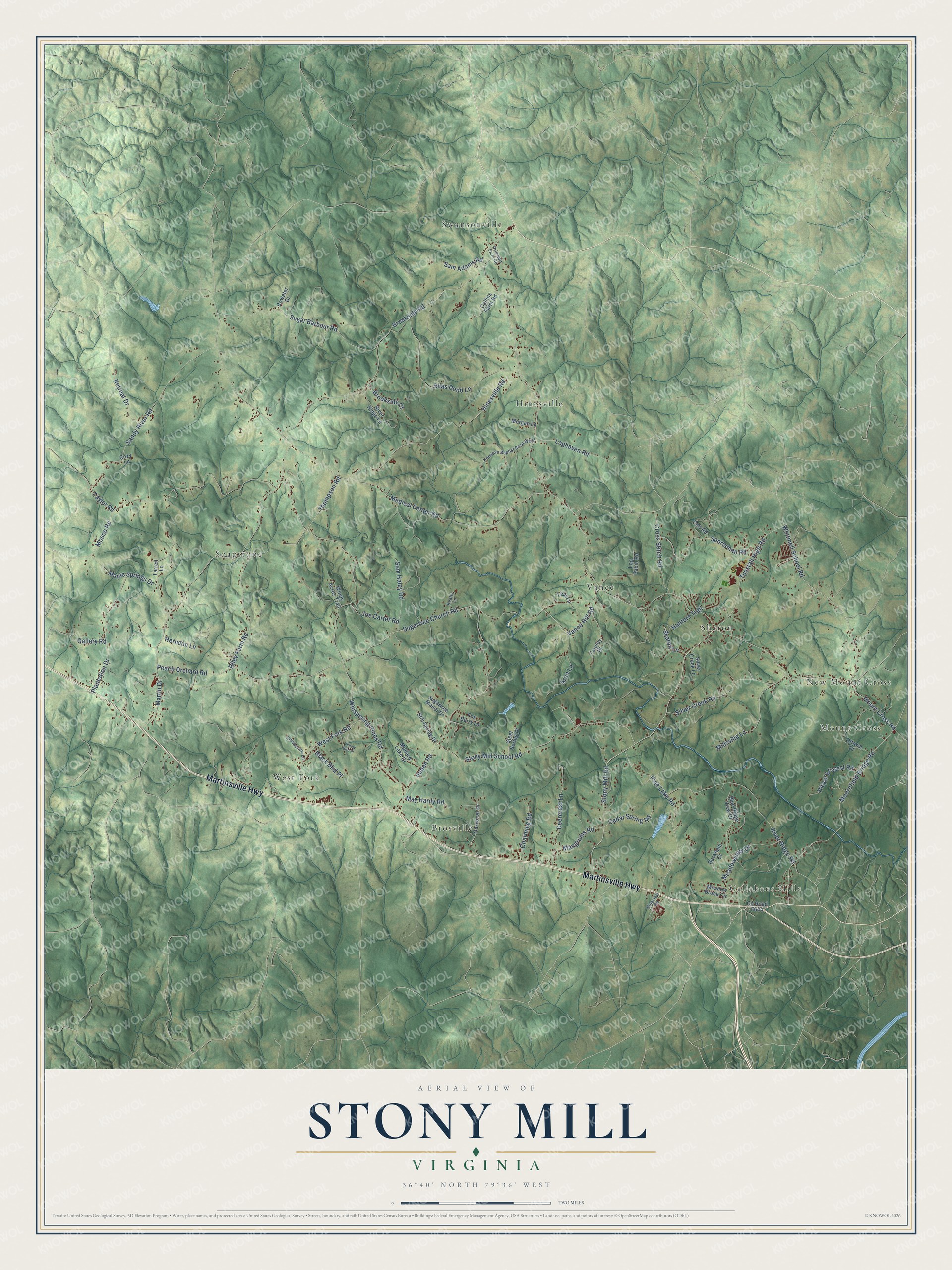
This beautifully detailed map of Stony Mill, Virginia was created in 2026 using aerial imagery combined with modern topographical, census, street and landmark data. It’s a one-of-a-kind view of Stony Mill that combines accurate data with a vintage aesthetic. The map shows every building in its true location, many of the roads carry their names, and the shaded topographic relief shows the shape of the land.
Explore an aerial view of Stony Mill, Virginia
On the map you’ll find Mount Cross, Callahans Hills, New Mount Cross, Swansonville, Soapstone, West Fork, Hinesville, Vance, Brosville, and Sharon, along with Martinsville Highway, Stony Mill Road, and more. If you look closely you can even find your house accurately drawn in its correct location. Zoom in on the preview to look for yours.
Take a closer look at the Stony Mill map
Names on this map
These names are printed on this map.
Places: Mount Cross, Callahans Hills, New Mount Cross, Swansonville, Soapstone, West Fork, Hinesville, Vance, Brosville and Sharon.
Streets and roads: Martinsville Highway, Stony Mill Road, Mount Cross Road, Medical Center Road, Whispering Pines Road, Martin Drive, Sugartree Church Road, Brookside Road, Mosco Road, Stony Mill School Road, Hinesville Road, Moorefield Bridge Road.
More street names, A to Z
Arnn Lane, Beckham Court, Black Bird Place, Blue Ridge View Drive, Bowater Drive, Brookside Court, Cedar Spring Road, Charming Road, Collins Farm Road, Colt Road, Cozy Lane, Creeksview Lane, Cross Stitch Road, Deercrest Lane, Ferrell Lane, Fox Berry Lane, Gallery Road, Herndon Lane, Hickory Forest Road, Hunters Trail, Inman Road, Joe Carter Road, Keatts Lane, Lion Lane, Log Cabin Road, Loghaven Road, Mallard Lake Drive, Mangrums Road, Maple Springs Drive, May Hardy Road, Meadow Brook Circle, Meadowview Drive, Millsville Lane, Morgan Lane, Oakwood Drive, Ottawa Drive, Peach Orchard Road, Pine Lake Road, Pineview Road, Plantation Drive, Primitive Baptist Road West, Pritchett Farm Road, Retreat Drive, Riley Farm Road, River Ridge Lane, River Ridge Road, Sam Adams Road, Sam Haley Road, Sandy River Road, Sharon Lane, Silas Dodd Lane, Silver Creek Lane, Silver Creek Road, Sportsman Road, Steel Soring Place, Still Spring Drive, Sugar Barbour Road, Sugartree Manor Drive, Tarpley Place, Taylor Road, Thompson Road, Tunstall High Road, Vance Hill Road, West Fork Road, Whitmell School Road, Windy Acres Trail, Yellow Bird Place.
See it on a wall
The Stony Mill map as a framed print. Swipe for more.


This beautifully detailed map of Stony Mill makes an attractive addition to your office, library, or den, and it can even be used to teach children the geography and history of the area. It also makes a great gift for anyone with Stony Mill roots. When you’re done exploring, click here to get your copy of the Stony Mill map.