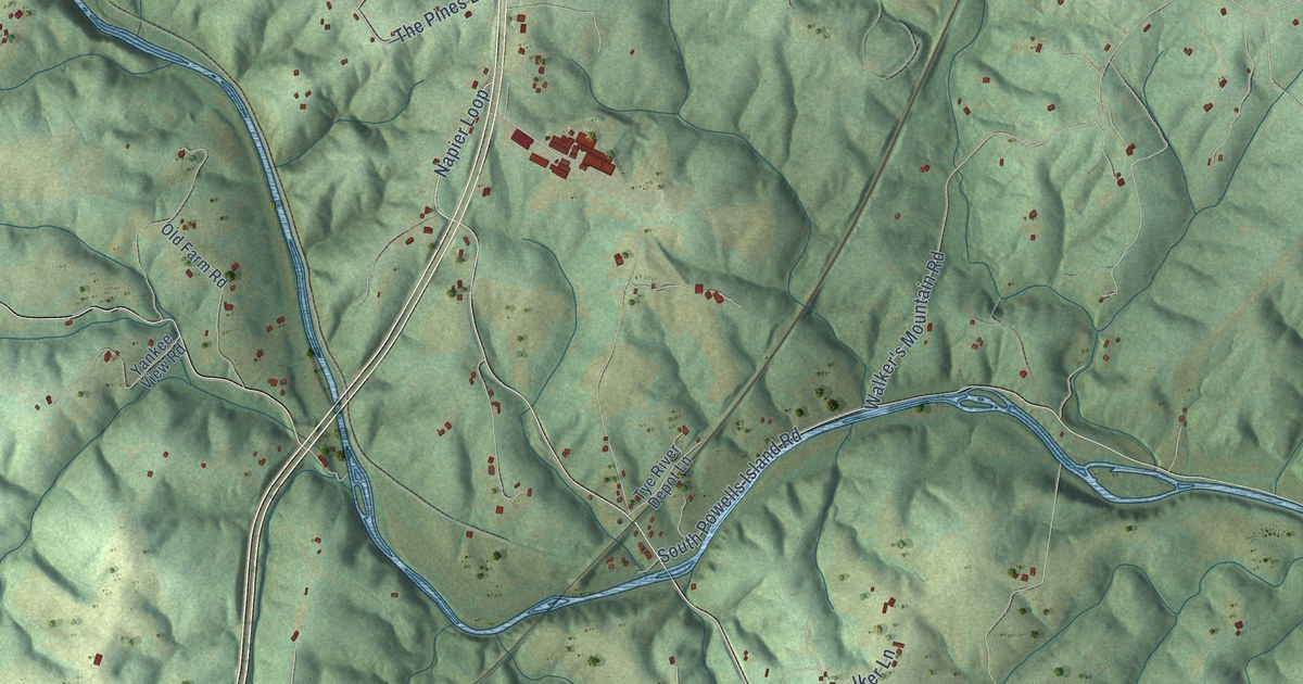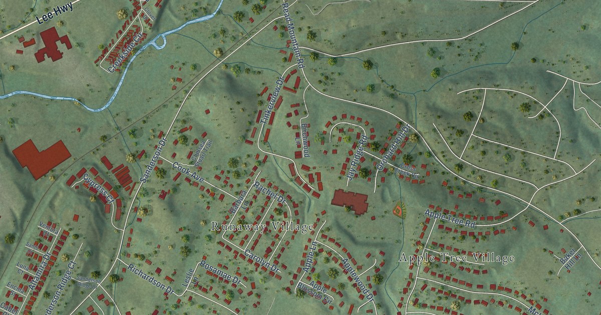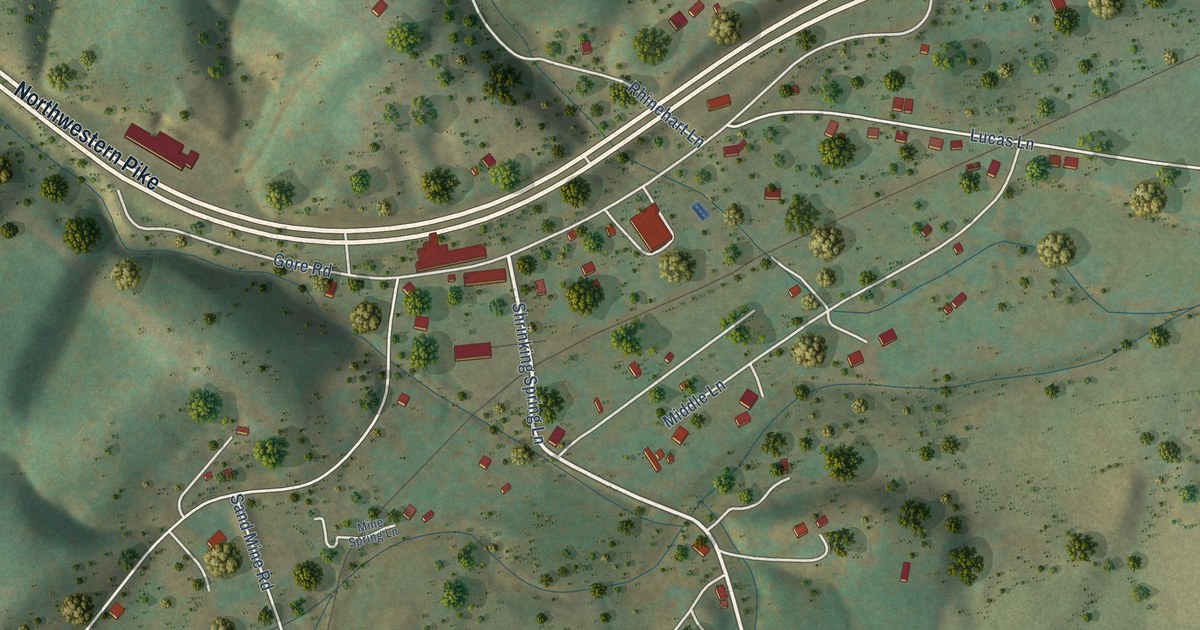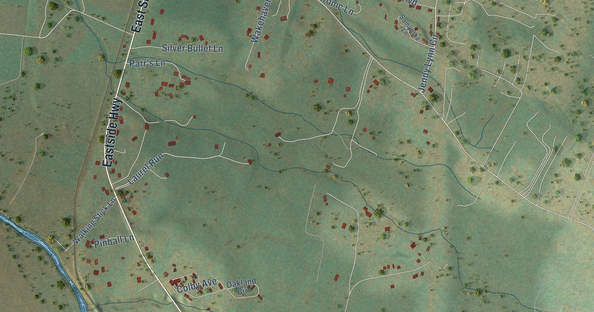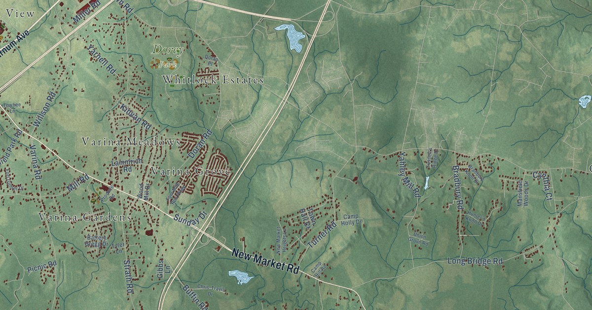
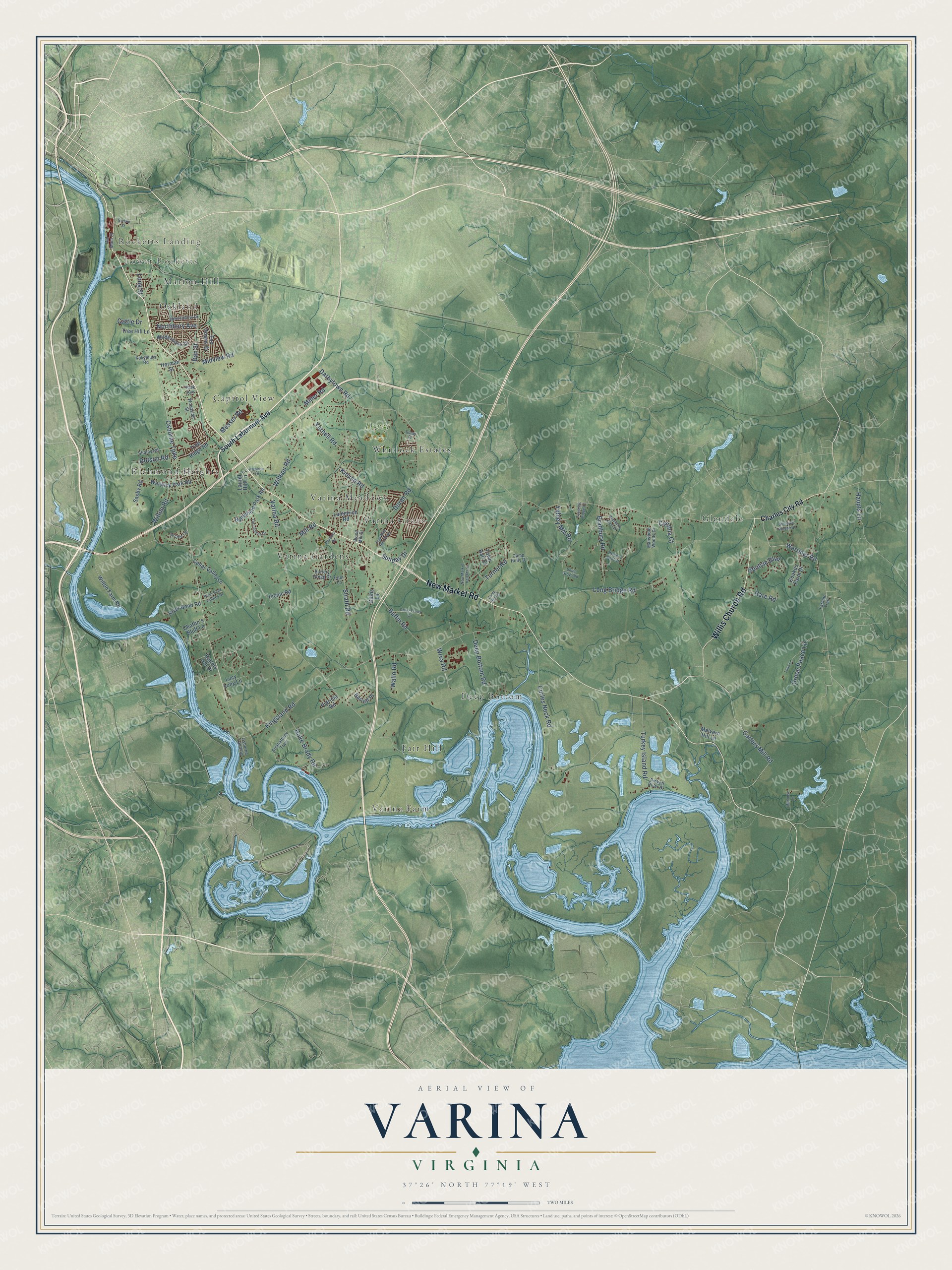
This beautifully detailed map of Varina, Virginia was created in 2026 using aerial imagery combined with modern topographical, census, street and landmark data. It’s a one-of-a-kind view of Varina that combines accurate data with a vintage aesthetic. The map shows every building in its true location, many of the roads carry their names, and the shaded topographic relief shows the shape of the land.
Explore an aerial view of Varina, Virginia
On the map you’ll find Rocketts Landing, Lower Rocketts, Dorey Park, Varina Farm, Glendale, Richmond Heights, Deep Bottom, Varina Grove, Fair Hill, Capitol View, Oakland, Varina Gardens, and more. If you look closely you can even find your house accurately drawn in its correct location. Zoom in on the preview to look for yours.
Did You Know?
From Internet Archive: "At Varina was also the Glebe of Henrico Parish, where resided James Blair, who founded William and Mary College, and William Stith, another of its presidents, who wrote the History of Virginia."
Varina is a community in Henrico County.
Take a closer look at the Varina map
Names on this map
These names are printed on this map.
Places: Rocketts Landing, Lower Rocketts, Dorey Park, Varina Farm, Glendale, Richmond Heights, Deep Bottom, Varina Grove, Fair Hill, Capitol View, Oakland, Varina Gardens, Varina Meadows, Marion Hill and Whitlock Estates.
Streets and roads: New Market Road, Willis Church Road, Osborne Turnpike, Varina Road, Kingsland Road, Strath Road, Carters Mill Road, Curles Neck Road, Long Bridge Road, Darbytown Road, Hoke Brady Road, Mill Road.
More street names, A to Z
Archie Lane, Arrahatteck Trail, Barrett Place, Battery Gregg Drive, Battery Hill Drive, Battlefield Park Road, Bootsie Boulevard, Bradbury Knoll Drive, Bradbury Road, Buffin Road, Camp Hill Road, Camp Holly Drive, Cattle Drive, Cedar Valley Lane, Chaffin's Bluff Lane, Charles City Road, Chris-Travis Drive, Cookes Farm Drive, Cynthia Court, Dan Street, Deep Bottom Road, Doran Place, Doran Road, Dotson Road, Elmshadow Drive, Farside Trail, Fort Gilmer Drive, Four Mile Run Parkway, Fox Downs Drive, Fussell's Ridge Drive, Gibbs Lane, Glendale Woods Drive, Goddin Street, Green Peace Lane, Hare Road, Haupts Lane, Herman Street, Hunter's Knoll Drive, Kinvan Road, Kukymuth Road, Lammrich Road, Laurel Hill Lane, Lona Lane, Long Street, Lucy Long Lane, Malvern Hill Lane, Mansfield Woods Drive, Messer Road, Midview Road, Milhouse Lane, Miller Road, New Market Heights Lane, Northbury Avenue, Old Main Street, Osborne Landing, Park Avenue, Patricia Road, Pickett River Drive, Picnic Road, Produce Road, River Bend Estates Drive, River Bend Road, Saxby Road, Sholey Road, South Laburnum Avenue, Sunday Drive, Towhee Lane, Town Hall Court, Tree Hill Lane, Tree Ridge Road, Turkey Island Road, Turner Road, Tyler Lane, Union Grove Road, Wallo Road, Warriner Road, Warwick Park Road, Wilderness Drive, Willson Road, Wilton Farm Road, Wilton Road, Wood Mill Drive, Woodside Street, Wrva Road, Yahley Mill Road, Yarnell Road.
See it on a wall
The Varina map as a framed print. Swipe for more.


This beautifully detailed map of Varina makes an attractive addition to your office, library, or den, and it can even be used to teach children the geography and history of the area. It also makes a great gift for anyone with Varina roots. When you’re done exploring, click here to get your copy of the Varina map.