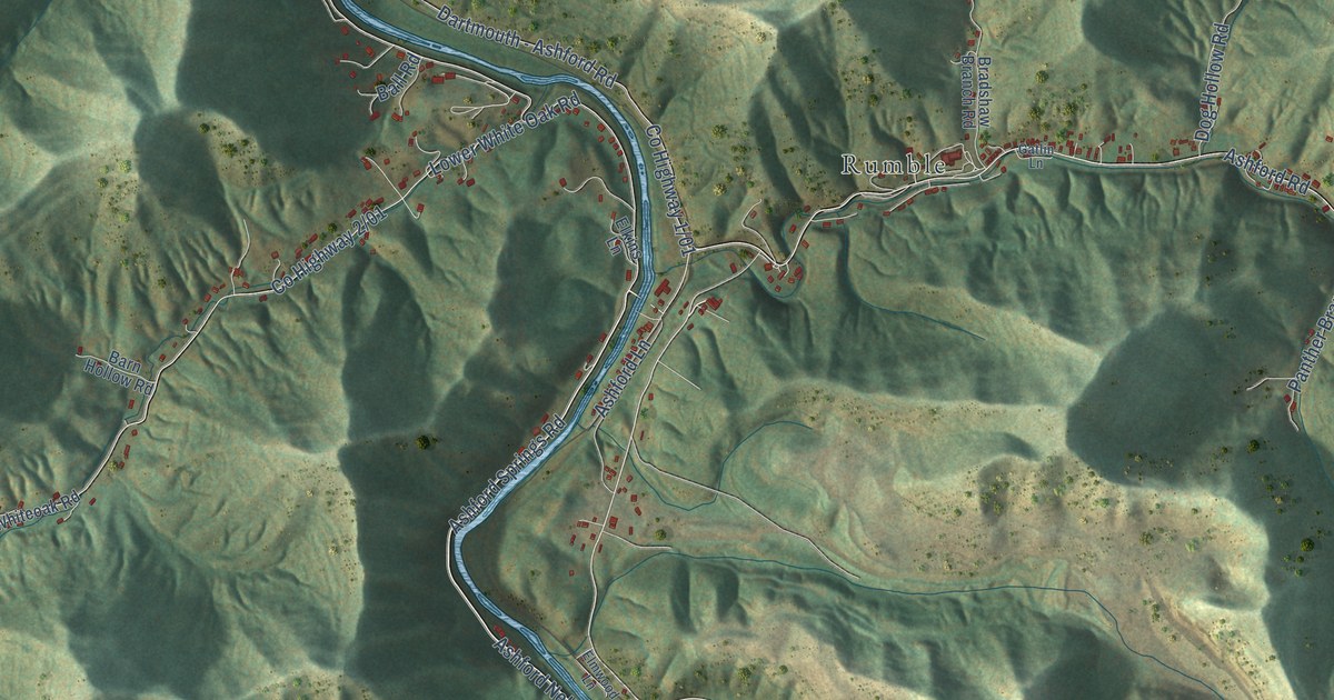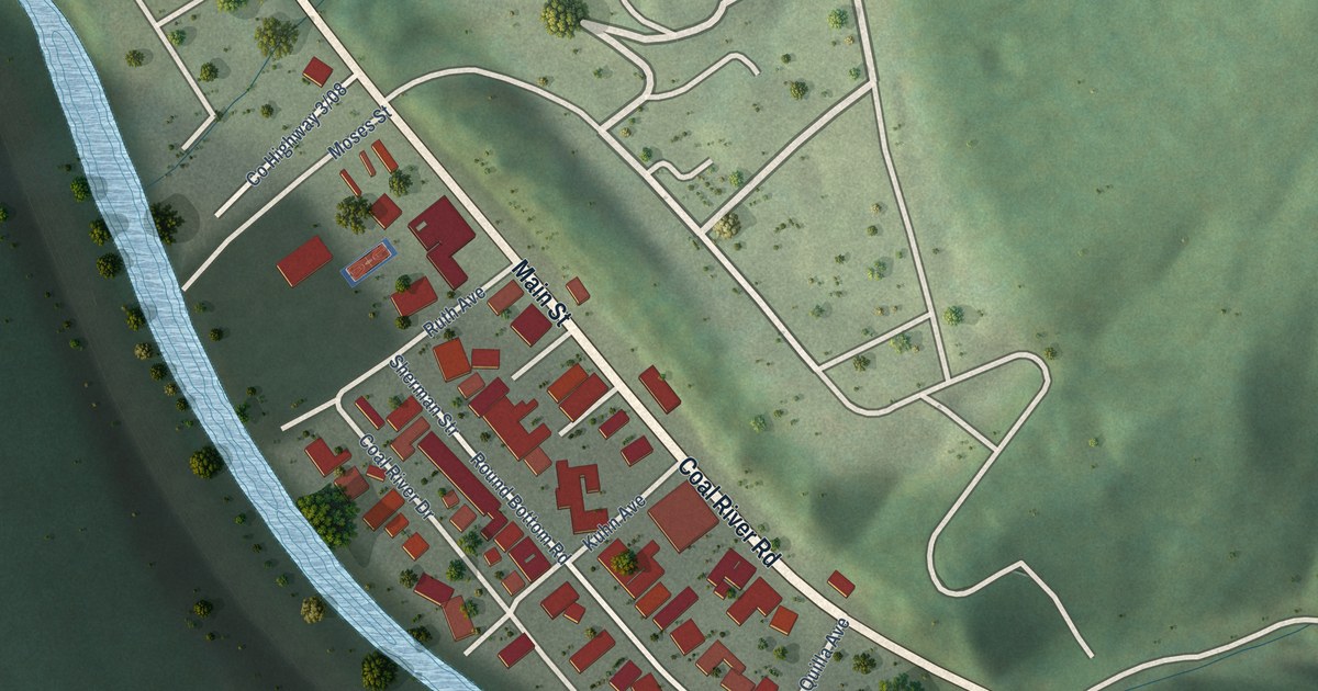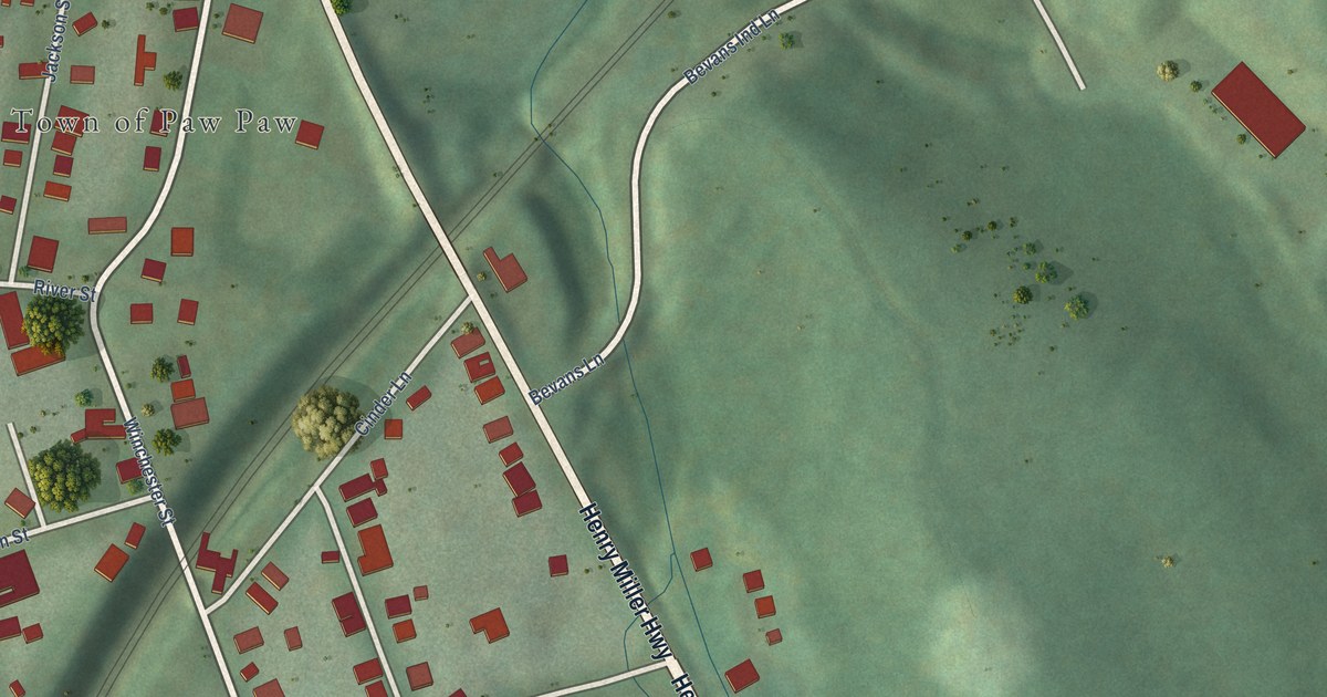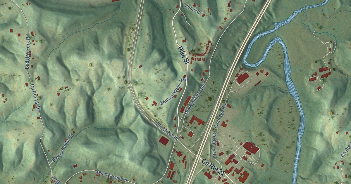
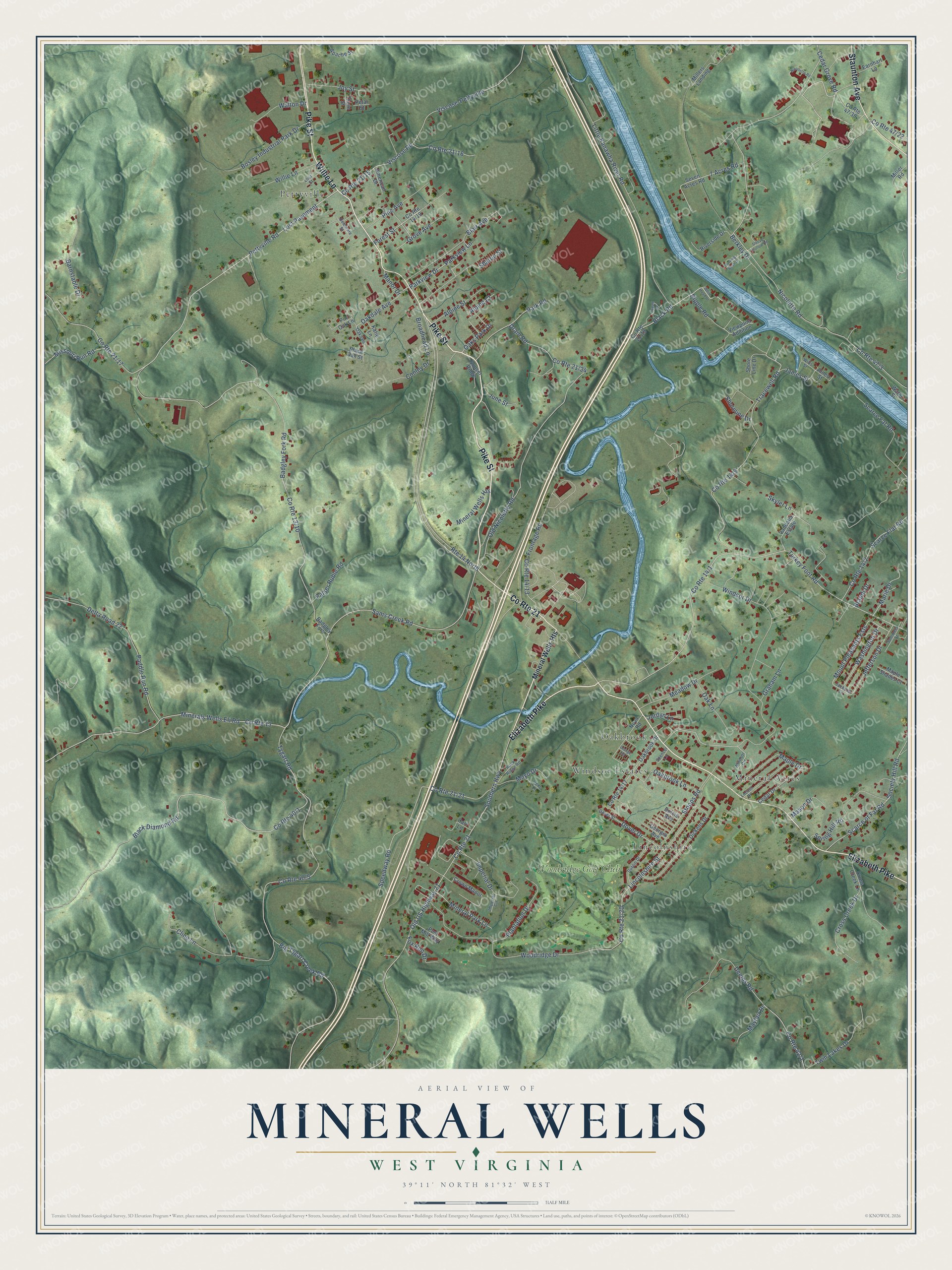
This beautifully detailed map of Mineral Wells, West Virginia was created in 2026 using aerial imagery combined with modern topographical, census, street and landmark data. It’s a one-of-a-kind view of Mineral Wells that combines accurate data with a vintage aesthetic. The map shows every building in its true location, many of the roads carry their names, and the shaded topographic relief shows the shape of the land.
Explore an aerial view of Mineral Wells, West Virginia
On the map you’ll find Lincolnshire, Pettyville, Mineral Acres, Oakbrook, Windsor Estates, Woodridge Golf Club, and Lost Pavement, along with Willie Lane, Pike Street, Elizabeth Pike, Staunton Avenue, Pettyville Road, and more. If you look closely you can even find your house accurately drawn in its correct location. Zoom in on the preview to look for yours.
Take a closer look at the Mineral Wells map
Names on this map
These names are printed on this map.
Places: Lincolnshire, Pettyville, Mineral Acres, Oakbrook, Windsor Estates and Woodridge Golf Club.
Streets and roads: Willie Lane, Pike Street, Elizabeth Pike, Staunton Avenue, County Route 21, Route 14 North, Pettyville Road, Lost Pavement, Cedar Grove Road, Mount Pleasants Ests, Deems Road, Black Road.
More street names, A to Z
7 Acres Road, Alpine Court, Alpine Street, American Drive, Apache Street, Badgley Fork, Badgley Fork Road, Barnstable Drive, Berkley Drive, Big Tygart Creek Road, Black Diamond Road, Black Oak Street, Blair Avenue, Bosley Industrial Park Drive, Brandi Drive, Broadhead Lane, Burning Bush Drive, Carr Lane, Cedar Drive, Cline Lane, Conley Drive, County Route 13, Cross Creek Drive, Cross Creek Lane, Crown Manor, Delaware Street, Delta Road 22, Dickens Drive, Dover Drive, Dover Street, Drain Road, Dublin Drive, Dulcie Avenue, Earnhart Lane, Forest Street, Fox Run Drive, Frontage Road, Georgia Avenue, Graham Lane, Grove Avenue, Imperial Circle, Imperial Drive, Irene Lane, Jackson Lane, James Street, Jefferson Drive, Jones Street, Jordyn Lane, Joy Street, June Street, Katie Lane, Lincolnshire Street, Little Kanawha River Road, Locust Drive, Lost Street, Manor Drive, Maple Drive, Maple Shades Court, Marie Drive, Mason Drive, Mayfair Drive, Mayo Drive, Meadow Drive, Miller Road, Millers Landing, Mineral Park Lane, Minerals Wells Eli Road, Mineral Wells Heights, Missouri Run Road, Nicolette Road, Nicollette Road, Nova Road, Oakbrook Drive, Oakbrook Lane, Oakdale, Oakdale Avenue, Oak Lane, Oaks Park Drive, Old Nicolette Road, Old US Highway 21, Orange Road, Paddle Run Road, Palser Ruble Road, Park Road, Parkview Drive, Parkview Lane, Petal Street, Pine Avenue, Pin Oak Lane, Plantation Drive, Post Mill Way, Ripple Road, Riverside Drive, Rock Ridge Road, Sams Creek Road, Scarce Fat Road, Scarce Flat Road, Scarce of Fat Road, Seven Acres Road, Sharon Street, Shoreline Drive, Shore Line Drive, Skyler Lane, Sleepy Hollow Road, Society Hill Road, Southern Highway, Speedway Road, Spencer Lane, Spring Hill Road, Stoops Road, Summers Street, Sunset Ridge, Thorn Street, Tracewell Road, Turkey Foot Road, Twin Lakes Drive, Tygart Lane, Tygart Road, Vandalia Estate, Viewpoint Addition, Viscose-Pettyville, Viscose Road, Walton Drive, Washington Drive, Water Street, White Head Drive, Wills Street, Windsor Circle, Windsor Drive, Woodridge Drive.
See it on a wall
The Mineral Wells map as a framed print. Swipe for more.


This beautifully detailed map of Mineral Wells makes an attractive addition to your office, library, or den, and it can even be used to teach children the geography and history of the area. It also makes a great gift for anyone who grew up in Mineral Wells or moved away. When you’re done exploring, click here to get your copy of the Mineral Wells map.