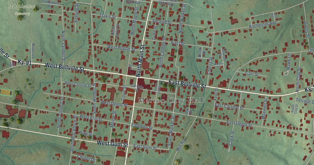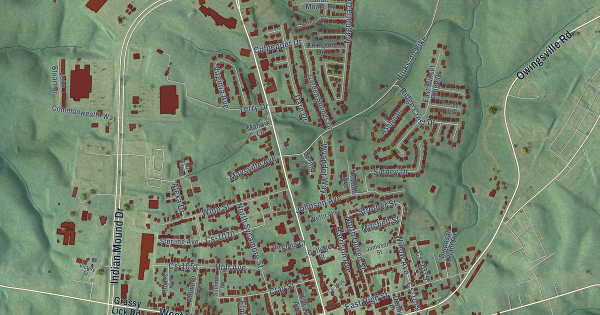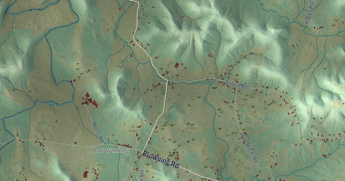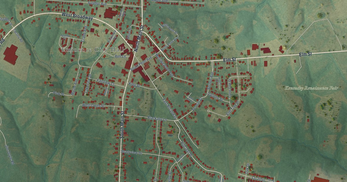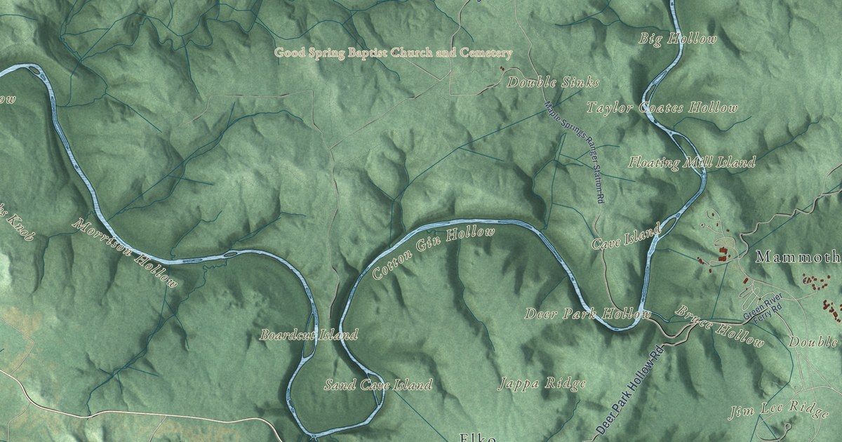
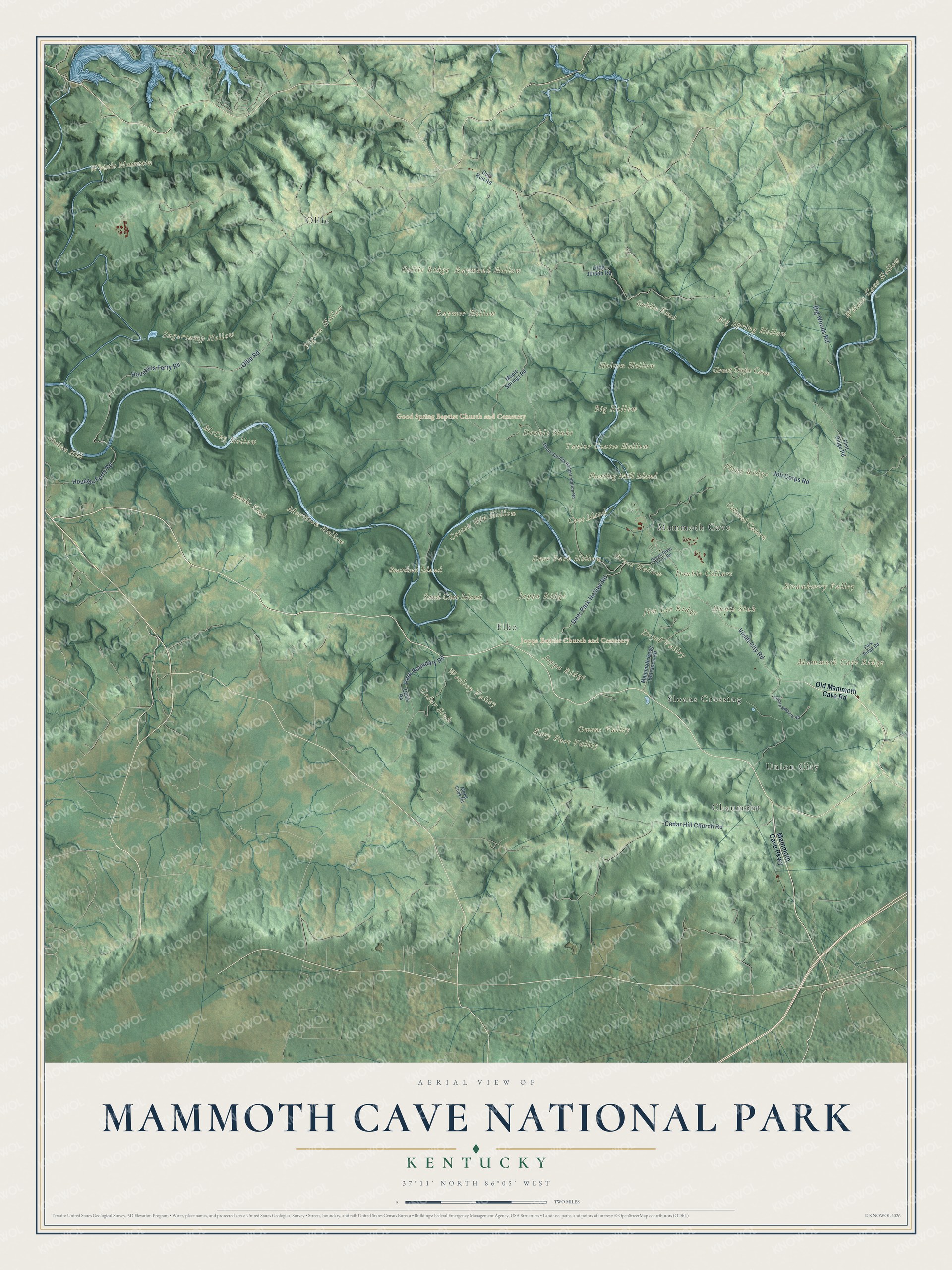
This beautifully detailed map of Mammoth Cave National Park was created in 2026 using aerial imagery combined with modern topographical, census, street and landmark data. It shows the land above the world’s longest known cave system: the wooded ridges, the steep hollows and the sinkholes where rainwater drains underground, with the Green River winding through the middle of the park. Shaded topographic relief brings out the folds of that hill country, and many of the park’s names follow the land itself, curving along the ridges and hollows they belong to.
Explore an aerial view of Mammoth Cave National Park
On the map you’ll find Mammoth Cave Ridge, Flint Ridge, Joppa Ridge, Collie Ridge, Great Onyx Cave, Colossal Cavern, Cedar Sink, Hunts Sink, Doyel Valley, Sloans Crossing, Good Spring Baptist Church, Joppa Baptist Church, Chaumont, Ollie and Union City, along with the Mammoth Cave Parkway, Flint Ridge Road, Houchin Ferry Road and Green River Ferry Road. If you’ve taken a cave tour or paddled the river, zoom in on the preview to find the ridge you went under.
Did You Know?
From the National Park Service: “To date, explorers have surveyed and mapped more than 426 miles of cave passage, making Mammoth Cave by far the longest known cave system in the world.”
The limestone here was laid down by ancient seas about 325 million years ago, and rainwater began dissolving the first passages roughly 10 million years ago. Native Americans explored the cave and mined it for minerals thousands of years ago. During the War of 1812, enslaved men mined saltpeter in the cave for the country’s gunpowder. In 1838 an enslaved guide named Stephen Bishop began leading visitors underground; he crossed the Bottomless Pit, pushed far beyond the known passages and drew a new map of the cave in 1842. Explorers later joined the caves under Mammoth Cave Ridge, Flint Ridge and Joppa Ridge into one system, and those ridges are on this map. The park was established on July 1, 1941, with 45,310 acres, according to the park’s history timeline.
Take a closer look at the Mammoth Cave National Park map
See it on a wall
The Mammoth Cave National Park map as a framed print. Swipe for more.


This beautifully detailed map of Mammoth Cave National Park makes an attractive addition to your office, library, or den, and it can even be used to teach children how water carves caves out of limestone. It also makes a great gift for anyone who has toured the cave or is planning a first trip. When you’re done exploring, click here to get your copy of the Mammoth Cave National Park map.