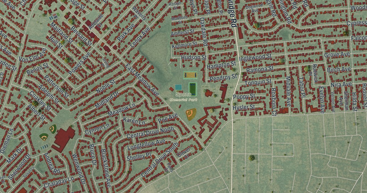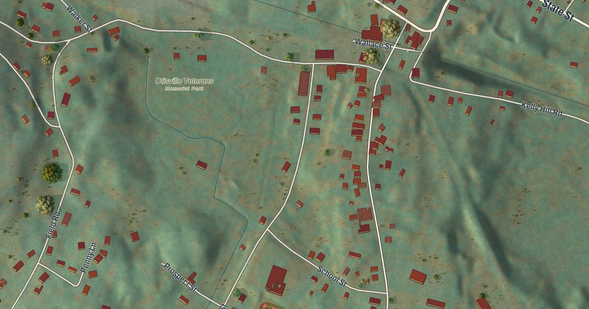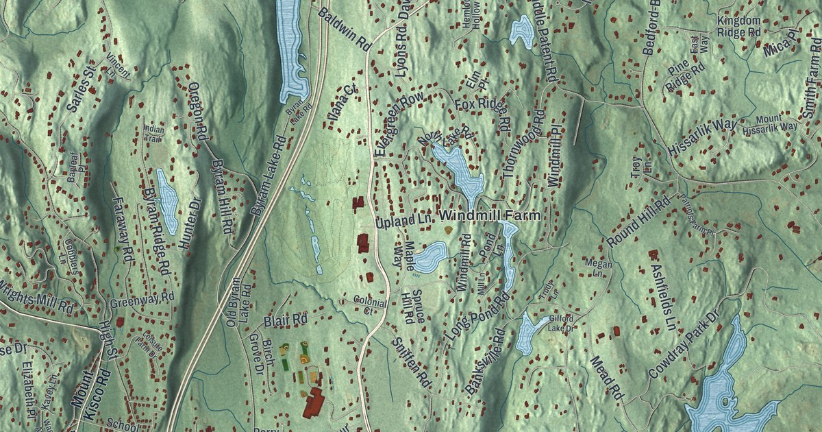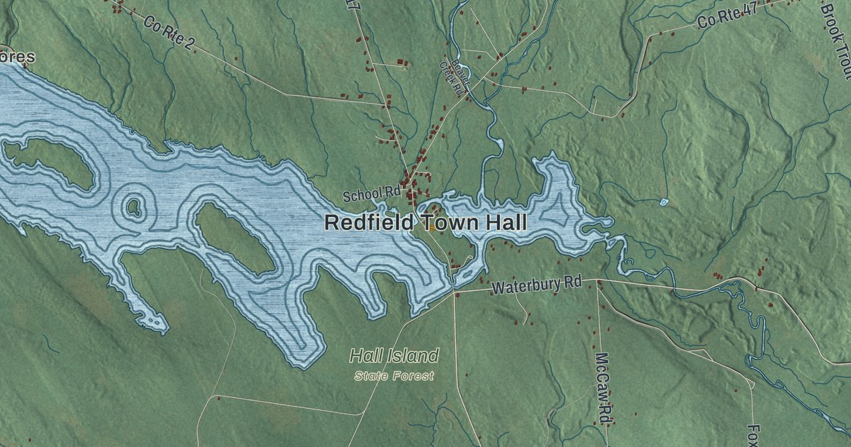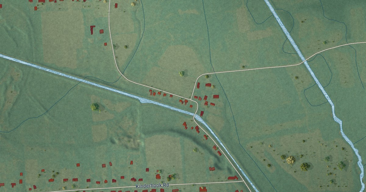
This beautifully detailed map of Bolivar, New York was created in 2026 using aerial imagery combined with modern topographical, census, street and landmark data. It’s a one-of-a-kind view of Bolivar that combines accurate data with a vintage aesthetic. The map shows every building in its true location, many of the roads carry their names, and the shaded topographic relief shows the shape of the land.
Explore an aerial view of Bolivar, New York
On the map you’ll find North Chittenango, along with Fyler Road, Boyd Avenue, Bolivar Road, County Highway 3, Lakeport Road, Tuscarora Road, County Highway 6, Kinderhook Road, Fyler Settlement Road, McGraw Road, White Bridge Road, and more. If you look closely you can even find your house accurately drawn in its correct location. Zoom in on the preview to look for yours.
Did You Know?
From Internet Archive: "Served in Virginia, and was present at the battles of Bolivar Heights, Camp Hill, Cedar Mountain, Rappahannock, White Sulphur Springs, Bristow Station."
Bolivar is a community in Madison County.
Take a closer look at the Bolivar map
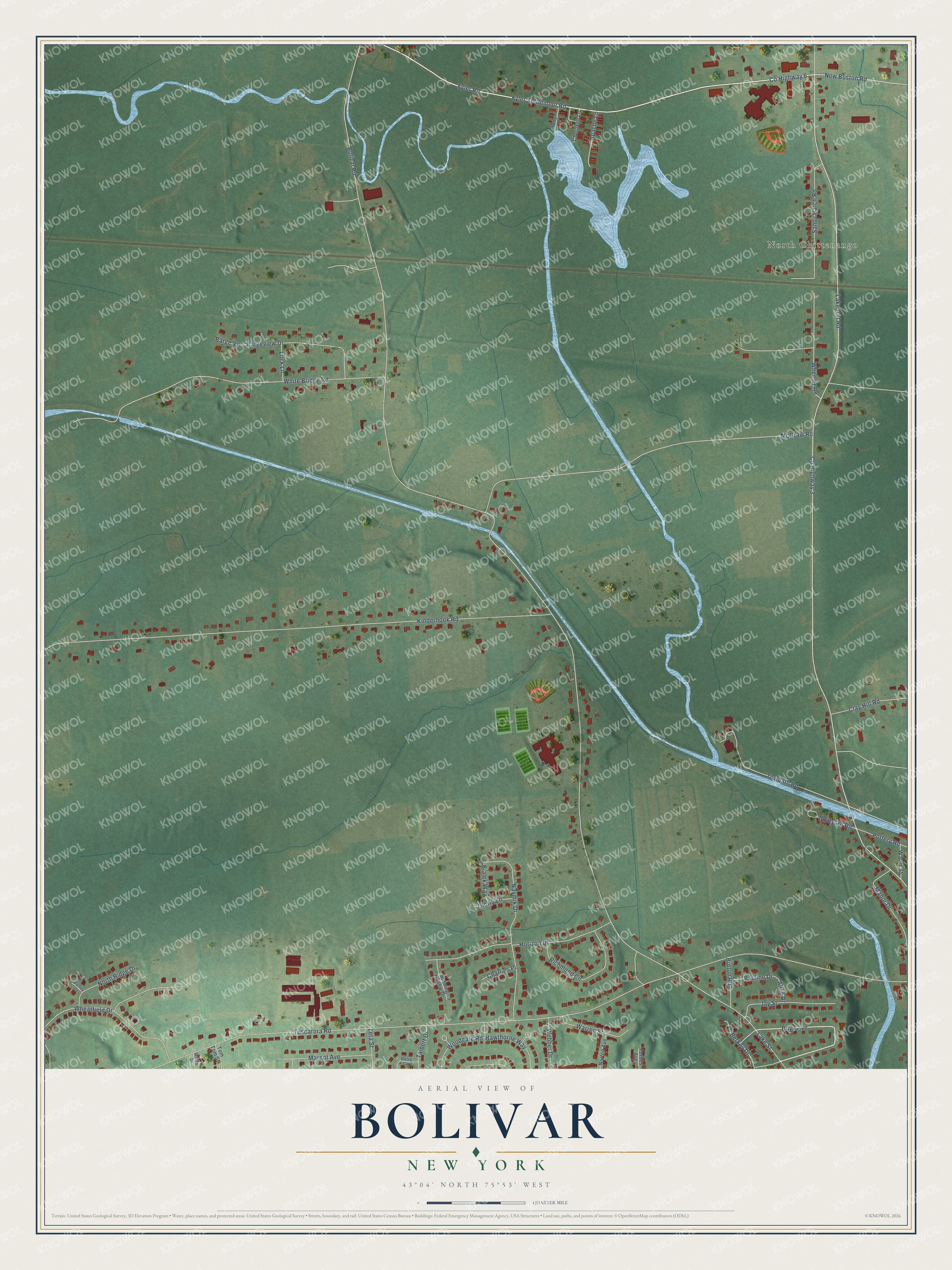
Names on this map
These names are printed on this map.
Places: North Chittenango.
Streets and roads: Fyler Road, Boyd Avenue, Bolivar Road, County Highway 3, Lakeport Road, Tuscarora Road, County Highway 6, Kinderhook Road, Fyler Settlement Road, McGraw Road, White Bridge Road, Horizon Drive.
More street names, A to Z
Alice Drive, Apache Lane, Bargeview Drive, Barge Vw, Barley Court, Berkey Drive, Bette Circle, Bialek Way, Boatyard Road, Burning Hollow Drive, Button Road, Charlies Place, Cherokee Lane, Clay Hill Road, Forbes Avenue, Gloria Lane, Hawthorne Way, Jay Street, Lake Street, Lee Street, Leta Street, Lock Lane, Manor Drive, Margot Avenue, Mohegan Lane, Murray Drive, Naymik Drive, New Boston Road, North Ridge Drive, Norton Avenue, Pauline Drive, Pottery Road, Richmond Circle, Sandy Hatch Road, Talbert Drive, Tom Tom Street, Towpath Road, Warren Street, Water Street, Webber Drive, Wheatfield Drive, Wheeler Road, Woodgate Road.
See it on a wall
The Bolivar, Madison County map as a framed print. Swipe for more.


This beautifully detailed map of Bolivar, Madison County makes an attractive addition to your office, library, or den, and it can even be used to teach children the geography and history of the area. It also makes a great gift for someone who left Bolivar and still calls it home. When you’re done exploring, click here to get your copy of the Bolivar, Madison County map.