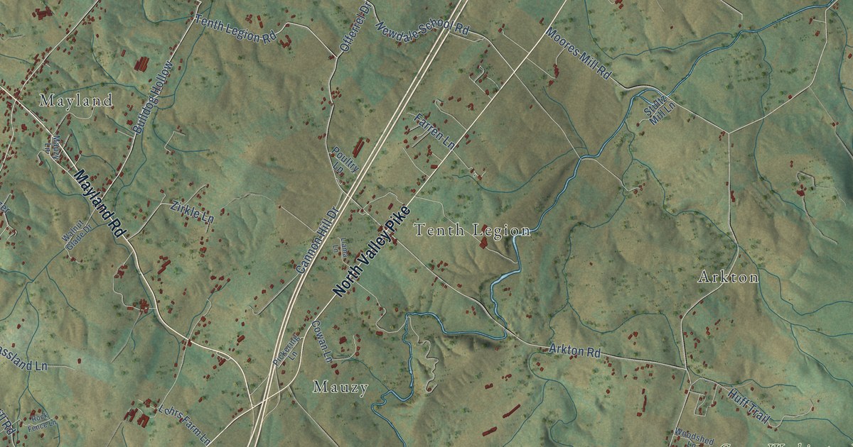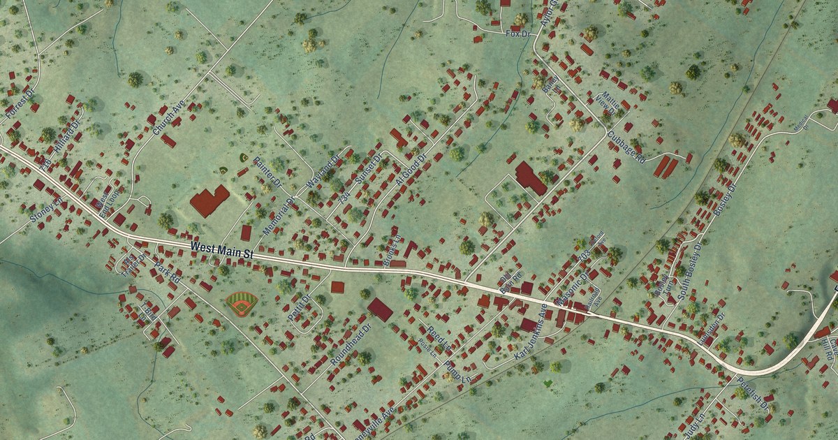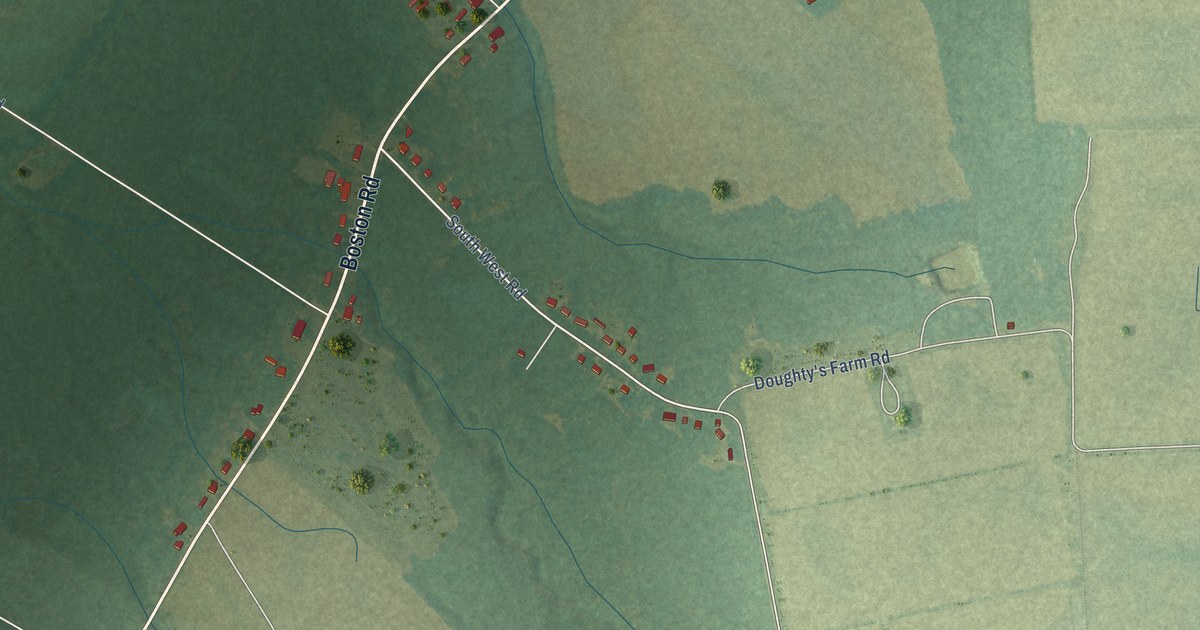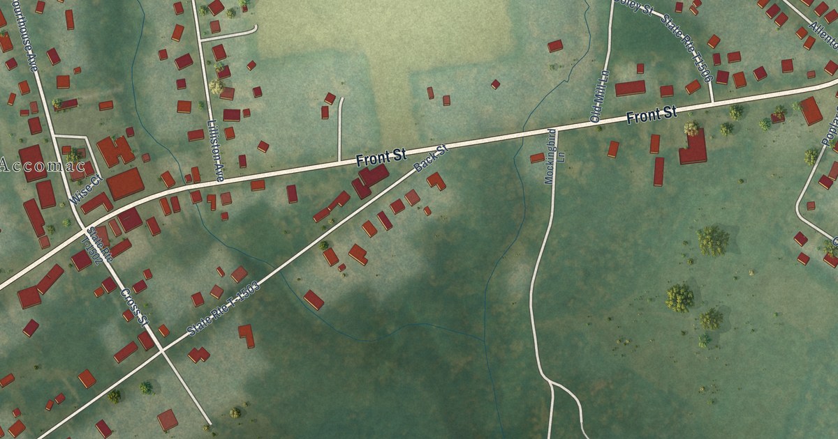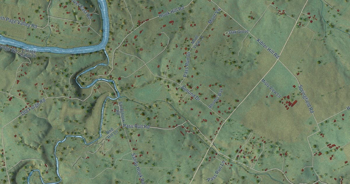
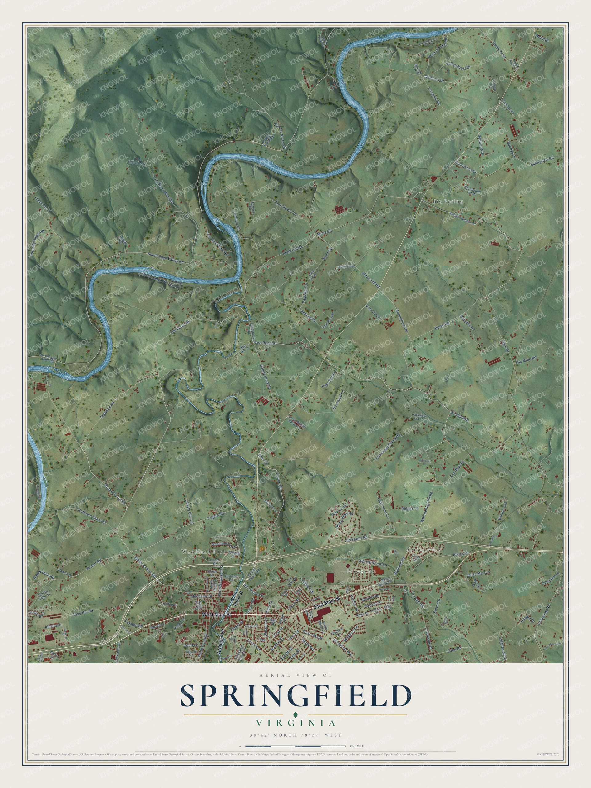
This beautifully detailed map of Springfield, Virginia was created in 2026 using aerial imagery combined with modern topographical, census, street and landmark data. It’s a one-of-a-kind view of Springfield that combines accurate data with a vintage aesthetic. The map shows every building in its true location, many of the roads carry their names, and the shaded topographic relief shows the shape of the land.
Explore an aerial view of Springfield, Virginia
On the map you’ll find Spring View, Big Spring, Woodland Park, and Brookside, along with East Main Street, West Main Street, Virginia Avenue, Old Forge Road, Pass Run Road, Sedwick Road, Wallace Road, Bixler’s Ferry Road, and more. If you look closely you can even find your house accurately drawn in its correct location. Zoom in on the preview to look for yours.
Did You Know?
From Internet Archive: "Springfield Division, No. 167, meets first and second Tuesday evenings _ at Springfield Hall."
Springfield is a community in Page County.
Take a closer look at the Springfield map
Names on this map
These names are printed on this map.
Places: Spring View, Big Spring, Woodland Park and Brookside.
Streets and roads: East Main Street, West Main Street, Virginia Avenue, Old Forge Road, Pass Run Road, Sedwick Road, Wallace Road, Bixler's Ferry Road, Yagers Road, North Hawksbill Street, Whispering Hill Road, Bixlers Ferry Road.
More street names, A to Z
Airport Road, Allison Drive, Almond Drive, Amiss Avenue, Atkins Drive, Beylors Ferry Road, Big Oak Road, Blue Bell Avenue, Blue Indian Way, Bovine Drive, Boxwood Lane, Bristol Avenue, Brown Lane, Bumgardeners Ford Road, Camelot Court, Canaan Street, Carillon Road, Cavalier Road, Cave Hill Road, Cave Street, Cedar Drive, Circle View Road, Clearview Road, Collins Avenue, Cottage Drive, Country Cabin Lane, Countryside Lane, Court Lane, Creekside Drive, Dampa Drive, Davis Lane, Dinges Lane, Dry Run Road, Eden Road, Edgewood Drive, Edwin Drive, Elgin Drive, Fair Lane Drive, Fifth Street, First Street, Fodder North Road, Fodder Notch Road, Fort Stover Road, Fourth Street, Fox Lane, Furnace Road, General Drive, Gindhart Drive, Grand View Drive, Grove Road, Hawksbill Heights Drive, Highland Court, High Street, Hill House Lane, Hilliard Drive, Hilltop Lane, Hinton Road, Hites Spring Road, Hook Hill Road, Hulse Road, Jesse Mae Lane, Johnson Drive, Kibler Hill Road, Kimball Road, Lazy River East Road, Lazy River West Road, Leaksville Road, Liberty Bell Lane, Lillard Drive, Linden Avenue, Luray Avenue, Luray Mobile Homes Lane, Lyn-Mar Road, Madison Lane, Martin Street, Meade Street, Meadow Lane, Mechanic Street, Memorial Drive, Mims Road, Misty View Lane, Mont View Lane, Mont Vue Drive, Mont Vw, Mountain View Drive, Nichols Road, Ninth Avenue, North Bank Street, North Broad Street, Northcott Drive, North Court Street, North Egypt Bend Road, North Lee Street, Nunn Lane, Oakcrest Drive, Oak Grove, Oflinn Street, Old Farm Road, Old Farms Lane, Old Farms Road, Old Mine Road, Outpost Road, Painter Street, Park Avenue, Park Lane, Parkview Estates Road, Parkview Est Lane, Pass Run Drive, Pass Run Lane, Peter Street, Piney Mountain Road, Point Place, Power Dam Road, Quiet Acres, Red Hill Lane, Redwood Drive, Reservoir Avenue, Rhodes Way, River Lodge Road, Route 718, Rowe Drive, Ruffners Ferry Road, Rufner House Road, Samuel Road, Sandy Hook Road, Sandyhook Road, Second Street, Seekford Lane, Serenity Ridge Road, Shenandoah Drive, Shenk Lane, Sixth Street, Smith Street, South Court Street, South Marye Lane, South Page Valley Road, Spiros Lane, Springfield Est Drive, Springfield Road, Stagecoach Lane, Steed Street, Stoney Brook Lane, Stover Street, Sunnyview Drive, Sunnyview Road, Sunrise Drive, Tannery Road, Terrace, Third Street, Turtle Rock, Turtle Rock Lane, Valley Crest Drive, Vaughn Summit Road, Veterans Lane, Vintage Cabin Drive, Westlu Boulevard, Wildflower Lane, Willow Street, Wilson Avenue, Winkler Road, Winters Lane, Wood Drive, Woodland Park Drive, Zerkel Street.
See it on a wall
The Springfield, Page County map as a framed print. Swipe for more.


This beautifully detailed map of Springfield, Page County makes an attractive addition to your office, library, or den, and it can even be used to teach children the geography and history of the area. It also makes a great gift for someone who left Springfield and still calls it home. When you’re done exploring, click here to get your copy of the Springfield, Page County map.