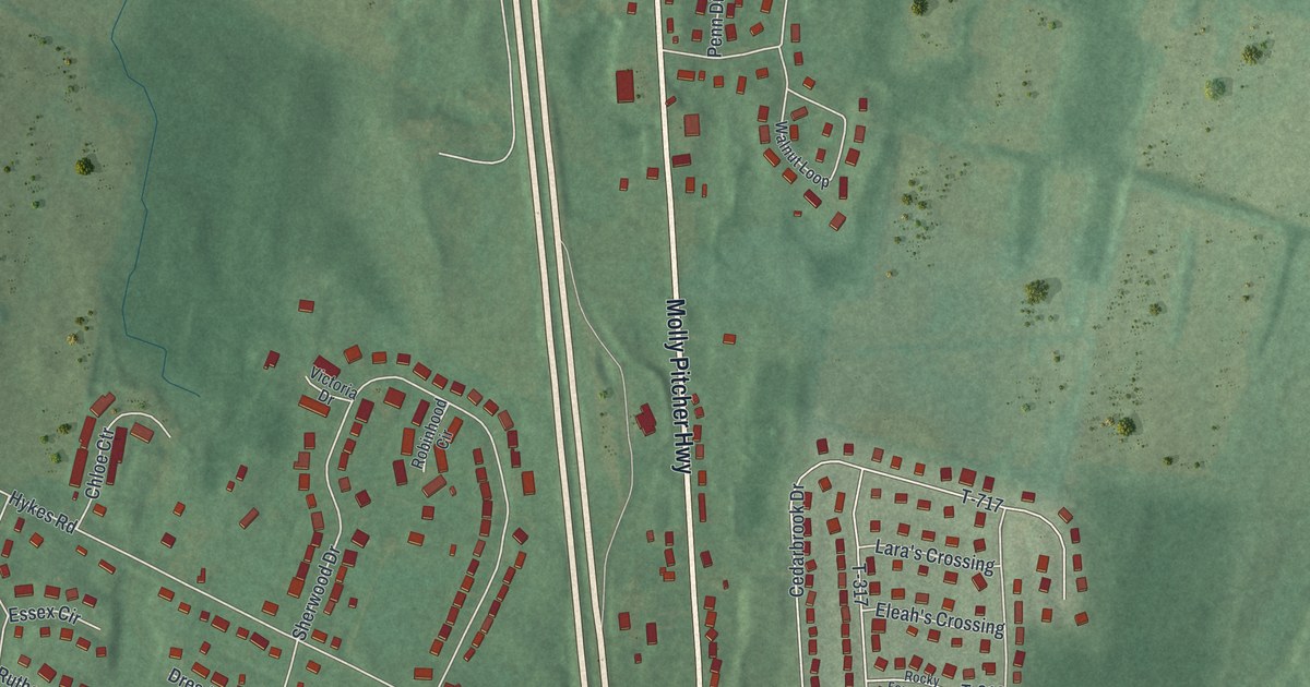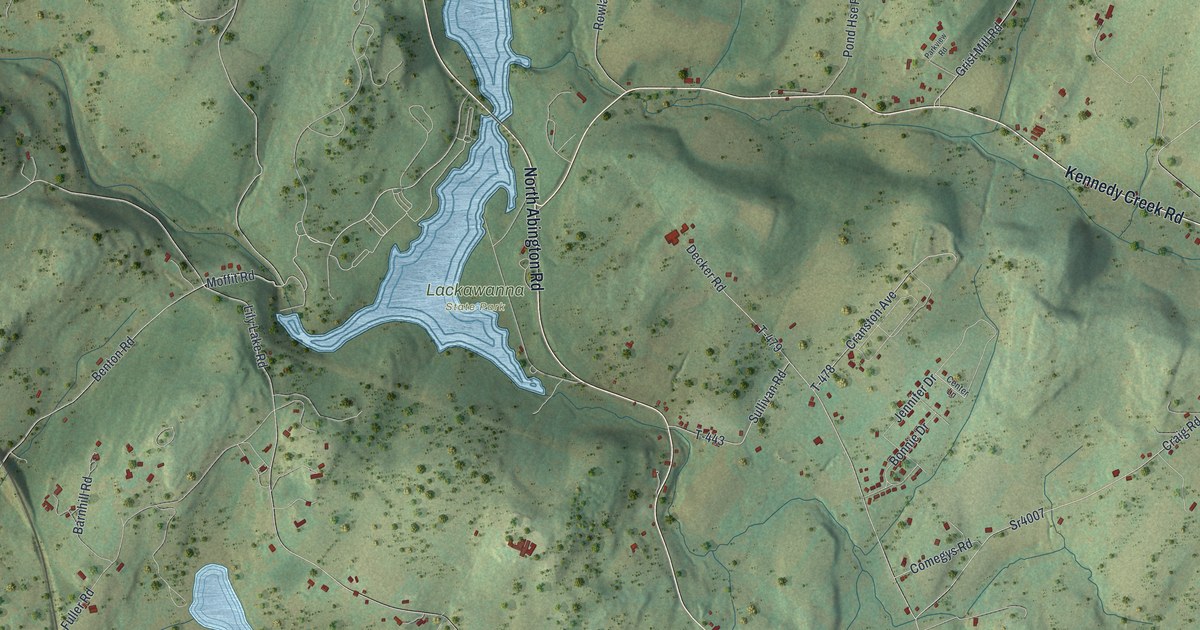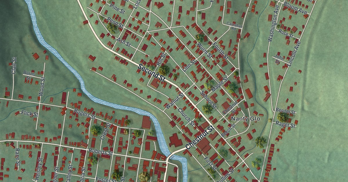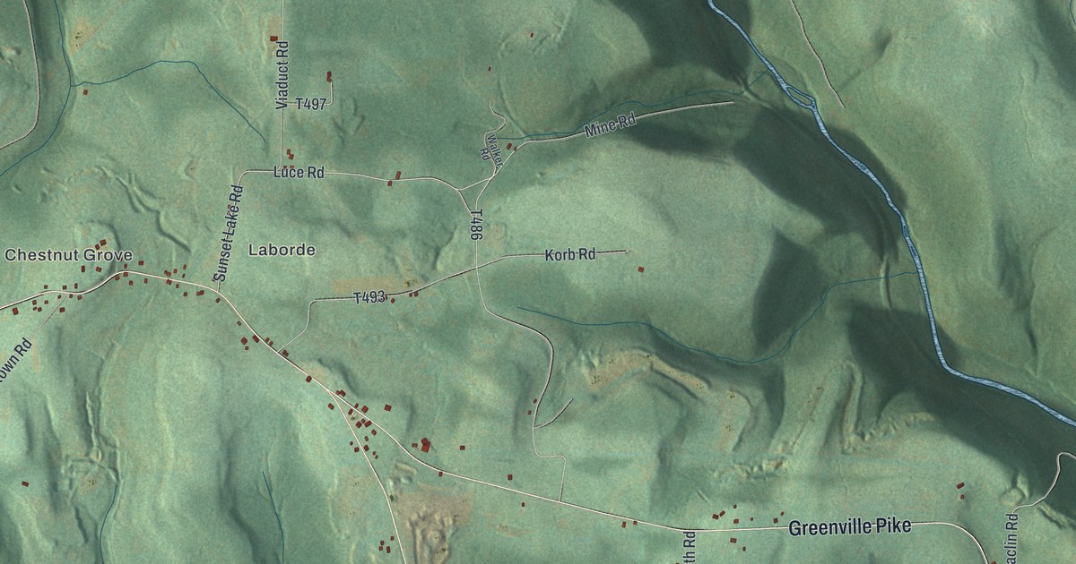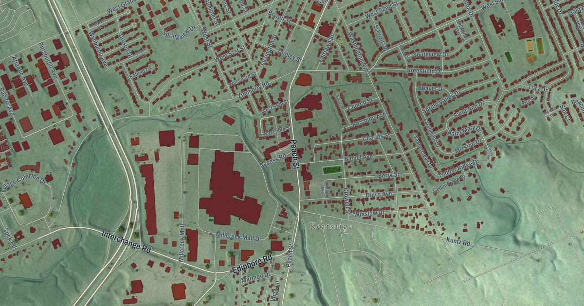
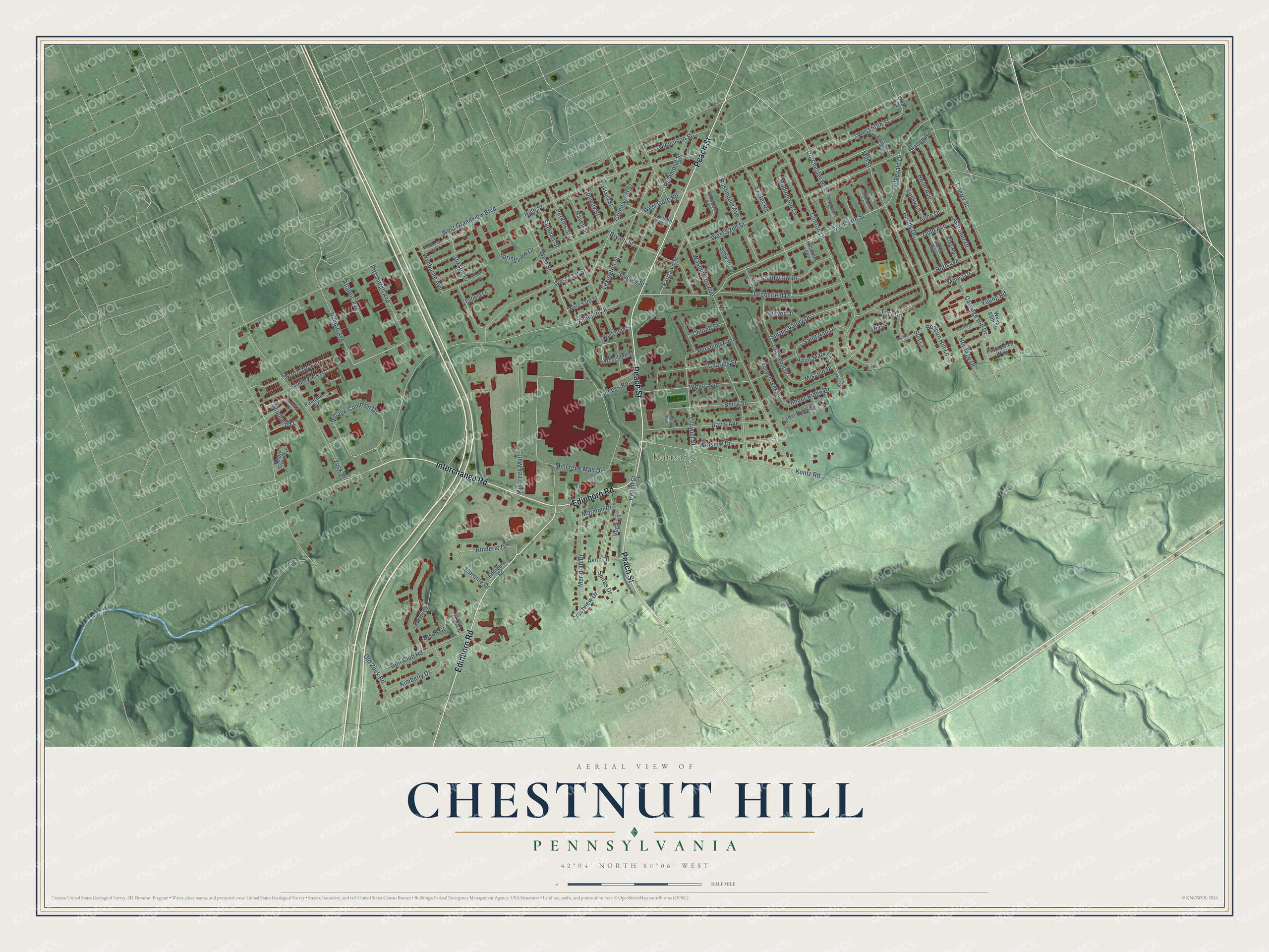
This beautifully detailed map of Chestnut Hill, Pennsylvania was created in 2026 using aerial imagery combined with modern topographical, census, street and landmark data. It’s a one-of-a-kind view of Chestnut Hill that combines accurate data with a vintage aesthetic. The map shows every building in its true location, many of the roads carry their names, and the shaded topographic relief shows the shape of the land.
Explore an aerial view of Chestnut Hill, Pennsylvania
On the map you’ll find Kearsarge, along with Interchange Road, Peach Street, Edinboro Road, West 50th Street, Dorchester Road, Mineo Drive, West 54th Street, Village Common Drive, Zimmerly Road, West Grandview Boulevard, Washington Avenue, and more. If you look closely you can even find your house accurately drawn in its correct location. Zoom in on the preview to look for yours.
Did You Know?
From Internet Archive: "Paul's Protestant Episcopal Church of Chestnut Hill, and also of the Church of the Epiphany whilst it occupied the site at 15th and Chestnut Streets."
Chestnut Hill is a community in Erie County.
Take a closer look at the Chestnut Hill map
Names on this map
These names are printed on this map.
Places: Kearsarge.
Streets and roads: Interchange Road, Peach Street, Edinboro Road, West 50th Street, Dorchester Road, Mineo Drive, West 54th Street, Village Common Drive, Zimmerly Road, West Grandview Boulevard, Washington Avenue, Millcreek Mall Drive.
More street names, A to Z
Access Road, Aline Drive, Andover Lane, Apple Grove Lane, Atlantic Avenue, Avon Drive, Beacon Hill Lane, Beaver Drive, Berry Street, Biebel Avenue, Bison Court, Bladen Road, Bondy Drive, Bryant Street, Carla Way, Carriage Hill Drive, Castlewood Court, Cedar Ridge Drive, Charles Street, Cherry Street, Church Street, Clinton Drive, Cloverhill Drive, Conway Street, Crestview Drive, Crowell Street, Davis Avenue, Devon Lane, Dixson Drive, Dorchester Drive, Dudley Street, Eastwind Lane, Edgevale Drive, Emmaline Drive, Enfield Lane, Estate Drive, Exeter Road, Fairlawn Street, Gardner Drive, Glen Eagles Drive, Gold Avenue, Golf Club Road, Greenfield Drive, Greenwood Street, Haven Street, Heidt Avenue, Heritage Drive, High Street, Hillsdale Avenue, Hillwood Drive, Kimberly Drive, King Road, Kuntz Road, Larchmont Drive, Lehigh Street, Lexington Street, Lindberg Avenue, Lucky Lane, Marmon Drive, Meridian Drive, Millcreek Mall, Mill Street, Mission Drive, Moraine Drive, Nicholson Street, North Zuck Lane, Oakland Street, Old Zuck Road, Pacific Avenue, Palermo Circle, Partridge Drive, Patton Street, Perkins Street, Pershing Avenue, Pittsburgh Avenue, Providence Way, Richard Drive, Richmond Street, Rinderle Drive, Rita Drive, Robinhood Lane, Roslindale Avenue, Ruth Avenue, Saint Ann Drive, Saint Mary Drive, Schwartz Drive, Southview Drive, Southwind Lane, South Zuck Lane, Spires Drive, Spring Valley Drive, Springview Drive, Summer Street, Sun Court, Timbercreek Drive, Timber Ridge Drive, Tory Drive, Vega Lane, West 51st Street, West 52nd Street, West 53rd Street, West 55th Street, West 56th Street, West 59th Street, West Gore Road, West Street, Winslow Drive, Wood Street, Wynburne Avenue, Young Road, Zuck Road.
See it on a wall
The Chestnut Hill, Erie County map as a framed print. Swipe for more.


This beautifully detailed map of Chestnut Hill, Erie County makes an attractive addition to your office, library, or den, and it can even be used to teach children the geography and history of the area. It also makes a great gift for anyone who grew up in Chestnut Hill or moved away. When you’re done exploring, click here to get your copy of the Chestnut Hill, Erie County map.