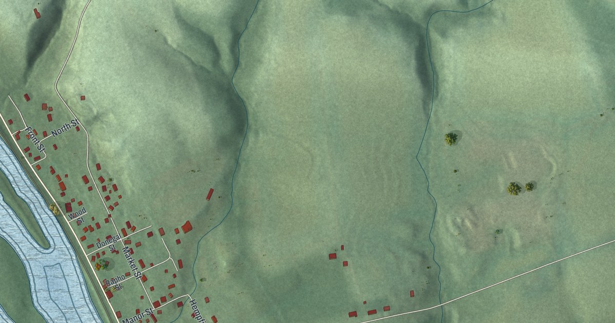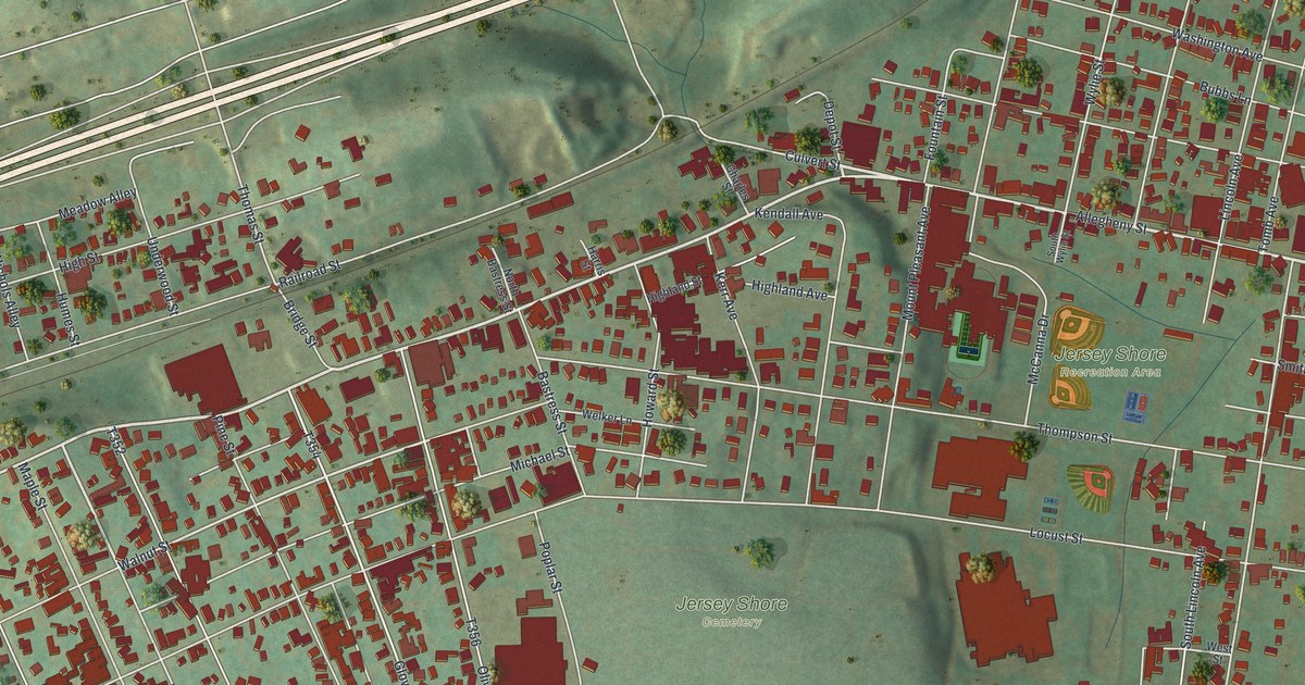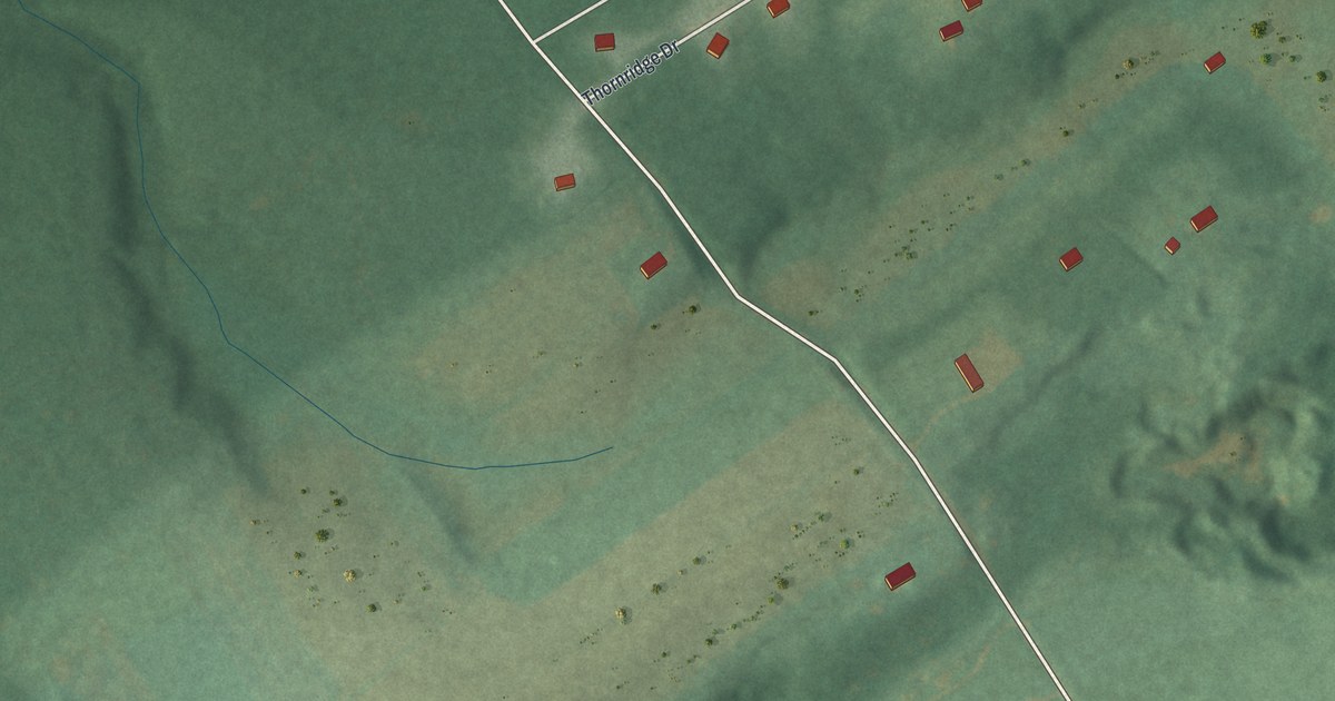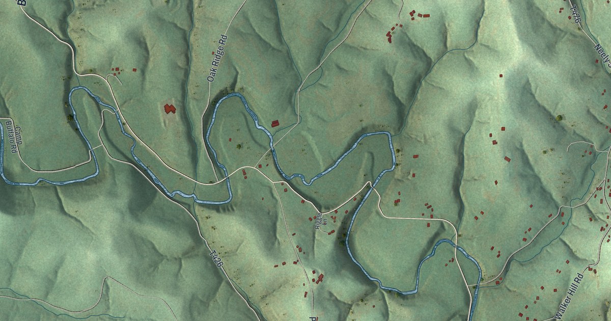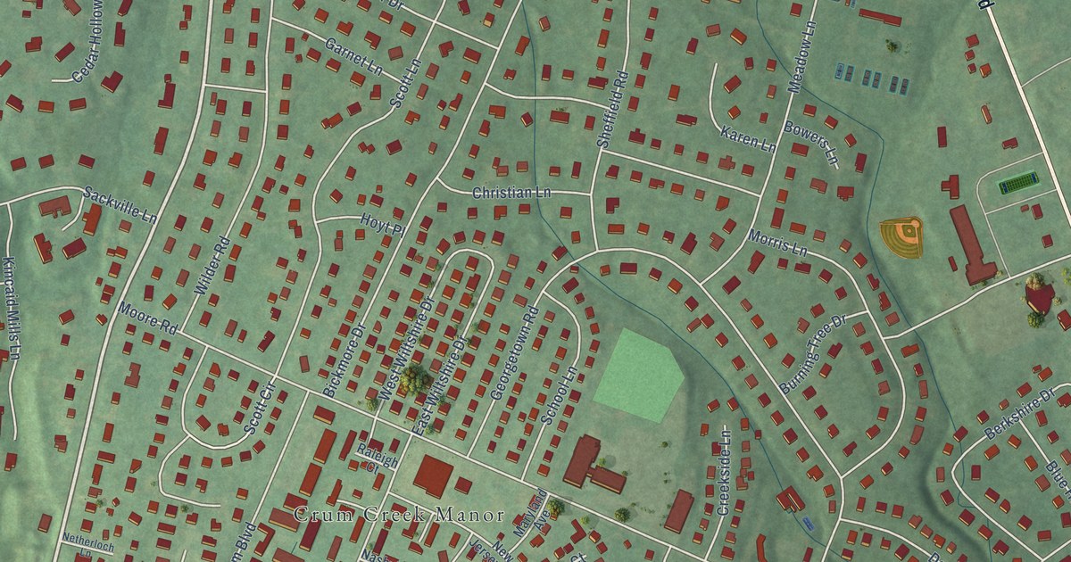
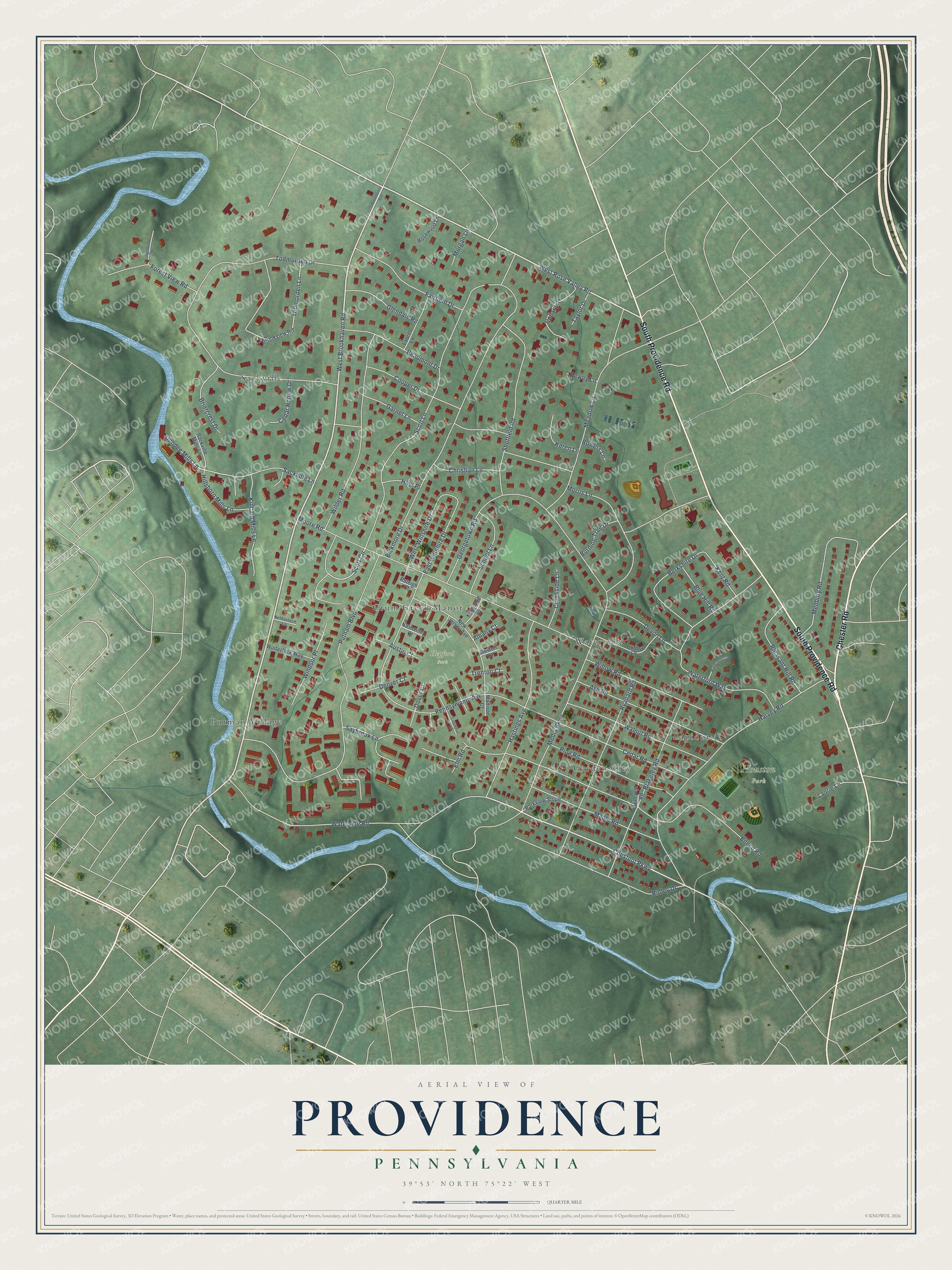
This beautifully detailed map of Providence, Pennsylvania was created in 2026 using aerial imagery combined with modern topographical, census, street and landmark data. It’s a one-of-a-kind view of Providence that combines accurate data with a vintage aesthetic. The map shows every building in its true location, many of the roads carry their names, and the shaded topographic relief shows the shape of the land.
Explore an aerial view of Providence, Pennsylvania
On the map you’ll find Houston Park, Hepford Park, Sackville, Putman Village, Waterville, Garden City, Crum Creek Manor, and Lapidea, along with South Providence Road, Chester Road, West Brookhaven Road, West Rose Valley Road, and more. If you look closely you can even find your house accurately drawn in its correct location. Zoom in on the preview to look for yours.
Did You Know?
From Internet Archive: "On the 15th of August, 1818, privilege was granted by Providence Church to their members living on the west side of Beaver River to organize a branch."
Providence is a community in Delaware County.
Take a closer look at the Providence map
Names on this map
These names are printed on this map.
Places: Houston Park, Hepford Park, Sackville, Putman Village, Waterville, Garden City, Crum Creek Manor and Lapidea.
Streets and roads: South Providence Road, Chester Road, West Brookhaven Road, West Rose Valley Road, Chestnut Parkway, Dundee Mills Lane, Scott Lane, Todmorden Drive, Bickmore Drive, Putnam Boulevard, Beech Road, Moore Road.
More street names, A to Z
Albany Court, Ash Road, Austin Court, Beaumont Drive, Berkshire Drive, Blakeley Road, Blue Hill Road, Boston Court, Bowers Lane, Briarcrest Drive, Brookview Road, Burning Tree Drive, Cedar Hollow Drive, Cedar Lane, Cedar Road, Christian Lane, Columbus Court, Cooper Drive, Creekside Lane, Denver Court, Devon Lane, Dewey Lane, Dover Court, East Wiltshire Drive, Elm Road, Fairfield Drive, Forest View Road, Garnet Lane, Georgetown Road, Glendale Road, Harvey Road, Hastings Avenue, Hillcrest Road, Hillsboro Mills Lane, Hoyt Place, Karen Lane, Kent Road, Kincaid Mills Lane, Laurel Lane, Laurie Lane, Madison Court, Maple Road, Maryland Avenue, Meadow Lane, Medbury Road, Media Parkway, Morgan Lane, Morris Lane, Nashville Court, Netherloch Lane, New Jersey Avenue, Oxford Lane, Parkview Slope, Pennsylvania Avenue, Pine Road, Pleasant Hill Road, Providence Avenue, Raleigh Court, Ridley Drive, Rosewood Lane, Ryanard Road, Sackville Lane, Sackville Mills Lane, Saybrook Lane, School Lane, Scott Circle, Sheffield Road, Tanglewood Drive, Taylor Drive, Todmorden Lane, Trenton Court, Walnut Road, Waterford Circle, Waterford Way, Waterville Road, West Wiltshire Drive, Wilder Road, Willow Road, Windsor Place, Winterlock Way.
See it on a wall
The Providence, Delaware County map as a framed print. Swipe for more.


This beautifully detailed map of Providence, Delaware County makes an attractive addition to your office, library, or den, and it can even be used to teach children the geography and history of the area. It also makes a great gift for anyone with Providence roots. When you’re done exploring, click here to get your copy of the Providence, Delaware County map.