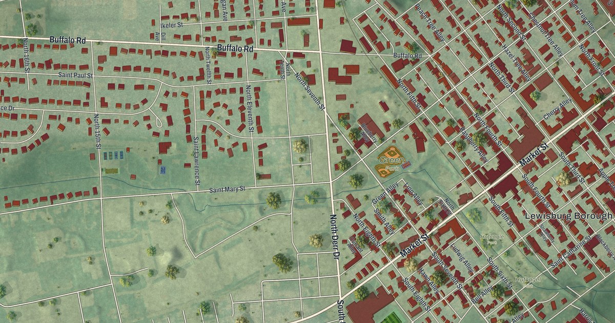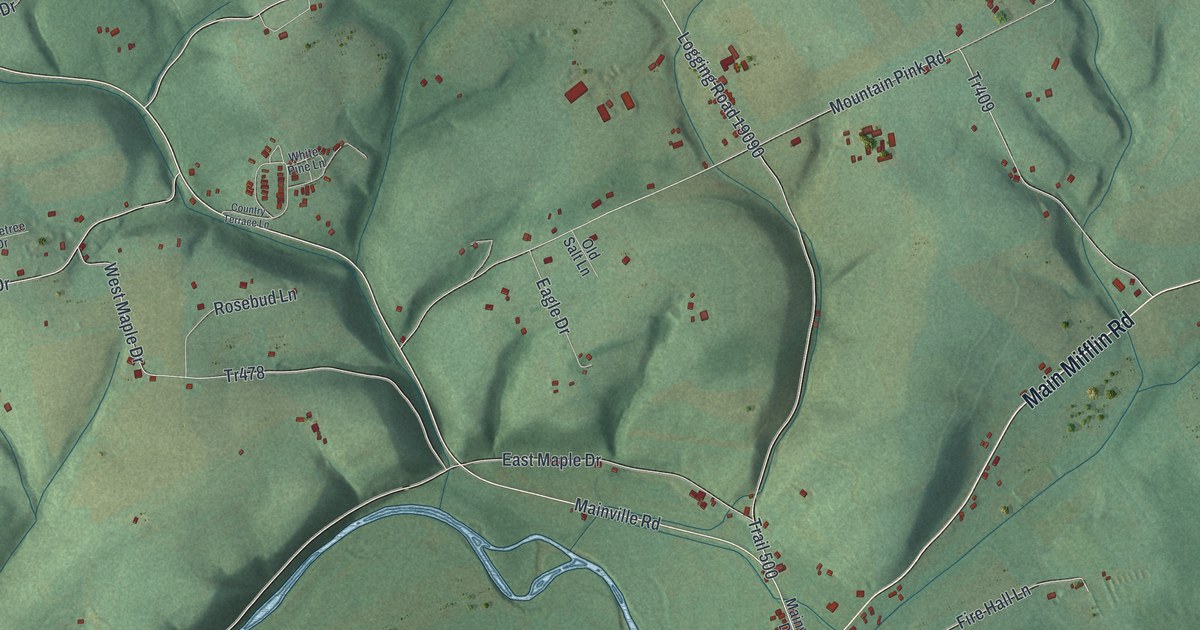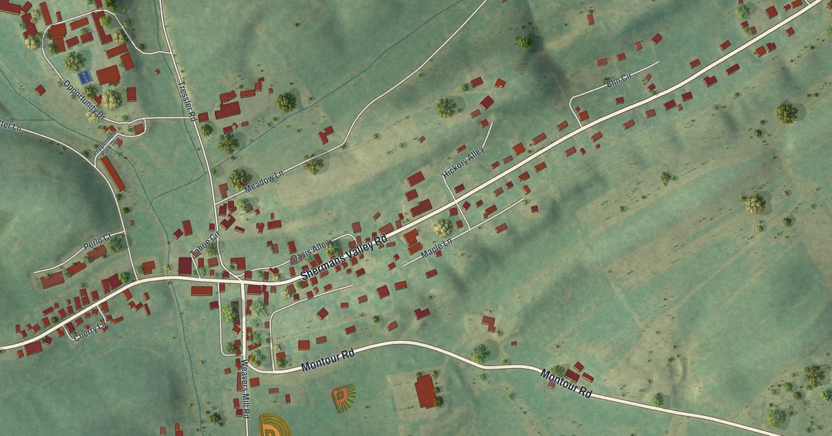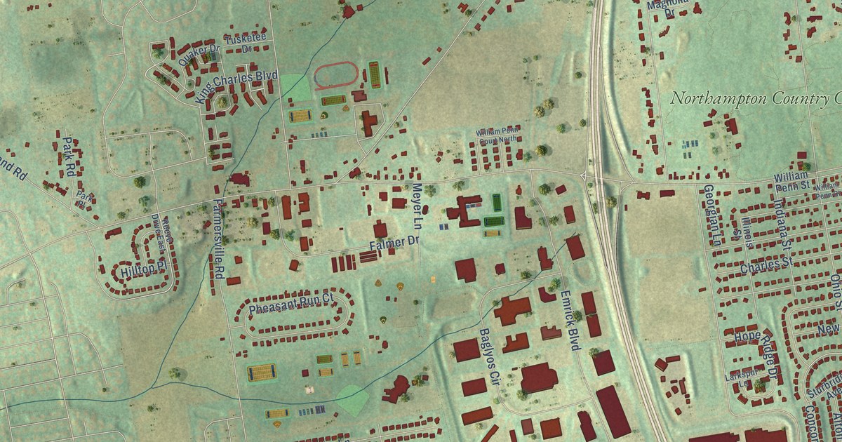
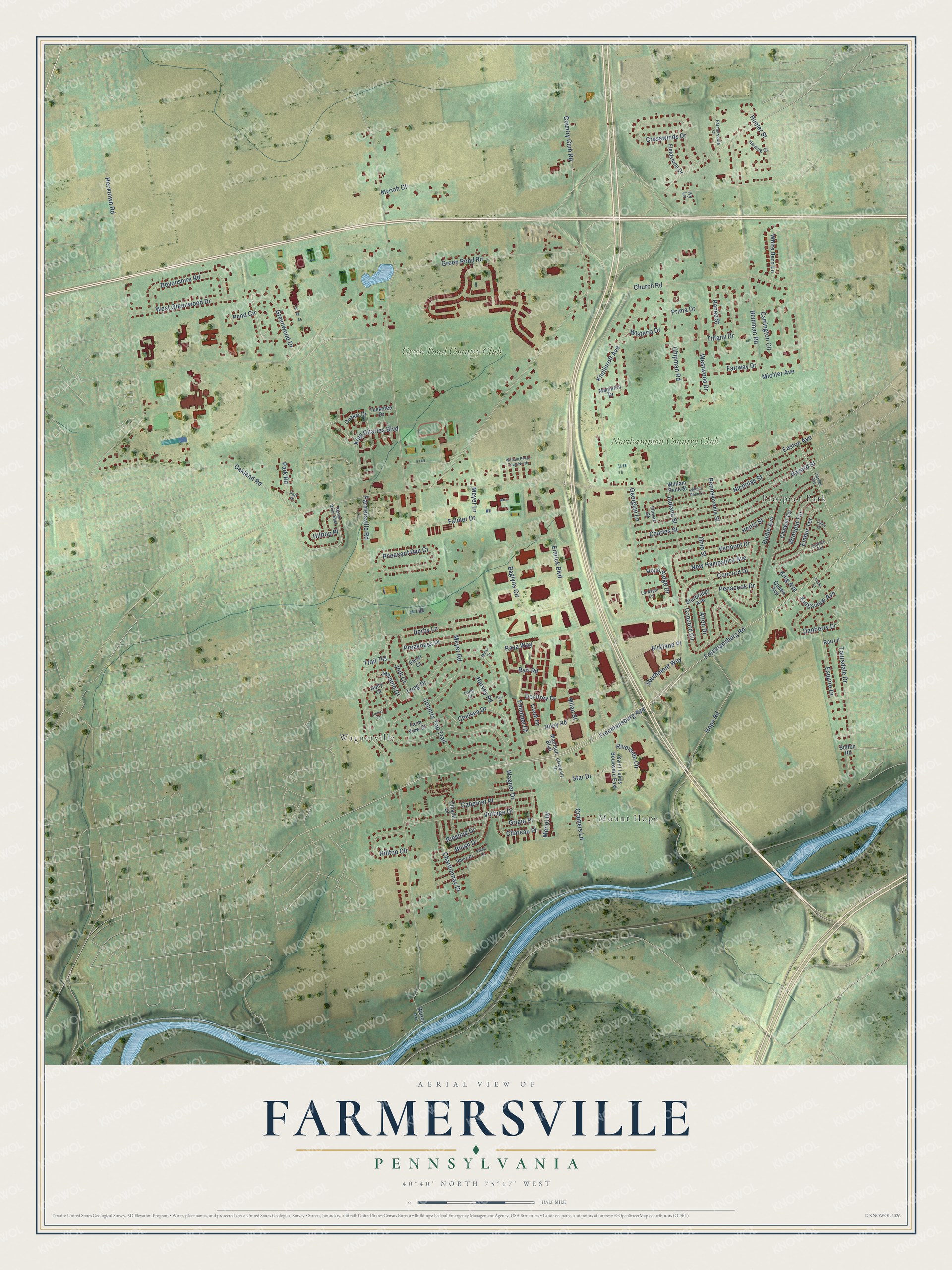
This beautifully detailed map of Farmersville, Pennsylvania was created in 2026 using aerial imagery combined with modern topographical, census, street and landmark data. It’s a one-of-a-kind view of Farmersville that combines accurate data with a vintage aesthetic. The map shows every building in its true location, many of the roads carry their names, and the shaded topographic relief shows the shape of the land.
Explore an aerial view of Farmersville, Pennsylvania
On the map you’ll find Mount Hope, Prospect Park, Wagnerville, Green Pond Country Club, and Northampton Country Club, along with Merlot Drive, Freemansburg Avenue, Farmersville Road, Green Pond Road, Easton Avenue, Freemansburg Road, Hope Road, and more. If you look closely you can even find your house accurately drawn in its correct location. Zoom in on the preview to look for yours.
Did You Know?
From Internet Archive: "Welden, Jan. 1, 1873, as first pastor of Grace Church; founded the Church Messenger in 1875; also served congregations at Hecktown, Farmersville, South Easton, Altonah, Freemansburg and South Bethlehem."
Farmersville is a community in Northampton County.
Take a closer look at the Farmersville map
Names on this map
These names are printed on this map.
Places: Mount Hope, Prospect Park, Wagnerville, Green Pond Country Club and Northampton Country Club.
Streets and roads: Merlot Drive, Freemansburg Avenue, Farmersville Road, Green Pond Road, Easton Avenue, Freemansburg Road, Hope Road, Church Road, Country Club Road, Bethman Road, Emrick Boulevard, Wagner Drive.
More street names, A to Z
Alton Drive, Baglyos Circle, Bayard Street, Birkland Place, Blush Drive, Cabernet Place, Carrington Circle, Center Avenue, Chardonnay Drive, Charles Street, Chateau Place, Chelsea Drive, Chetwin Terrace, Chianti Court, Chipman Road, Cibby Street, Concord Circle, Concord Drive, Cook Drive, Country Top Trail, Cramers Lane, Crosswinds Drive, Danberry Drive, Dealtrey Drive, Derby Lane, Devonshire Road, Ebner Court, Emanuel Court, Embur Terrace, Emrick Terrace, Esquire Drive, Fairway Drive, Falmer Drive, Farmersville Court, Farm View Court, Fieldstone Drive, Flecks Lane, Georgian Lane, Greenwood Drive, Grigio Place, Harding Court, Harvey Road, Hecktown Road, Henry Street, Hilltop Circle, Hilltop Place, Hodle Avenue, Holly Court, Hope Ridge Drive, Hunter Street, Illinois Street, Indiana Street, Ivy Lane, Jasmine Drive, Jodi Court, King Avenue, King Charles Boulevard, Kingsview Avenue, Knollcroft Avenue, Larkspur Lane, Laurel Court, Long Court, Long Drive, Madison Boulevard, Magnolia Drive, Meyer Court, Meyer Lane, Meyer Road, Michler Avenue, Milan Street, Myriah Court, New Hampshire Avenue, Nicholas Street, Oakland Road, Ohio Street, Park Place, Park Road, Penacook Drive, Pennsylvania Street, Pheasant Run Court, Pond Circle, Preakness Place, Prima Drive, Quaker Drive, Queen Avenue, Rafi Road, Ranee Street, Rau Lane, Raya Way, Reeve Drive East, Rhine Court, Rhine Drive, Riesling Drive, Riley Road, Riverside Circle, Rye Court, Saint Lukes Boulevard East, Southmont Way, Star Drive, Sturbridge Avenue, Sutton Road, Tiffany Drive, Toursdale Drive, Trail 741, Tusketee Drive, University Drive, Vermont Drive, Vintage Drive, West Greenwood Drive, Westwood Drive, White Barn Lane, William Penn Court, William Penn Court North, William Penn Street, Wilson Avenue, Winfield Terrace, Wisteria Drive.
See it on a wall
The Farmersville, Northampton County map as a framed print. Swipe for more.


This beautifully detailed map of Farmersville, Northampton County makes an attractive addition to your office, library, or den, and it can even be used to teach children the geography and history of the area. It also makes a great gift for anyone who grew up in Farmersville or moved away. When you’re done exploring, click here to get your copy of the Farmersville, Northampton County map.