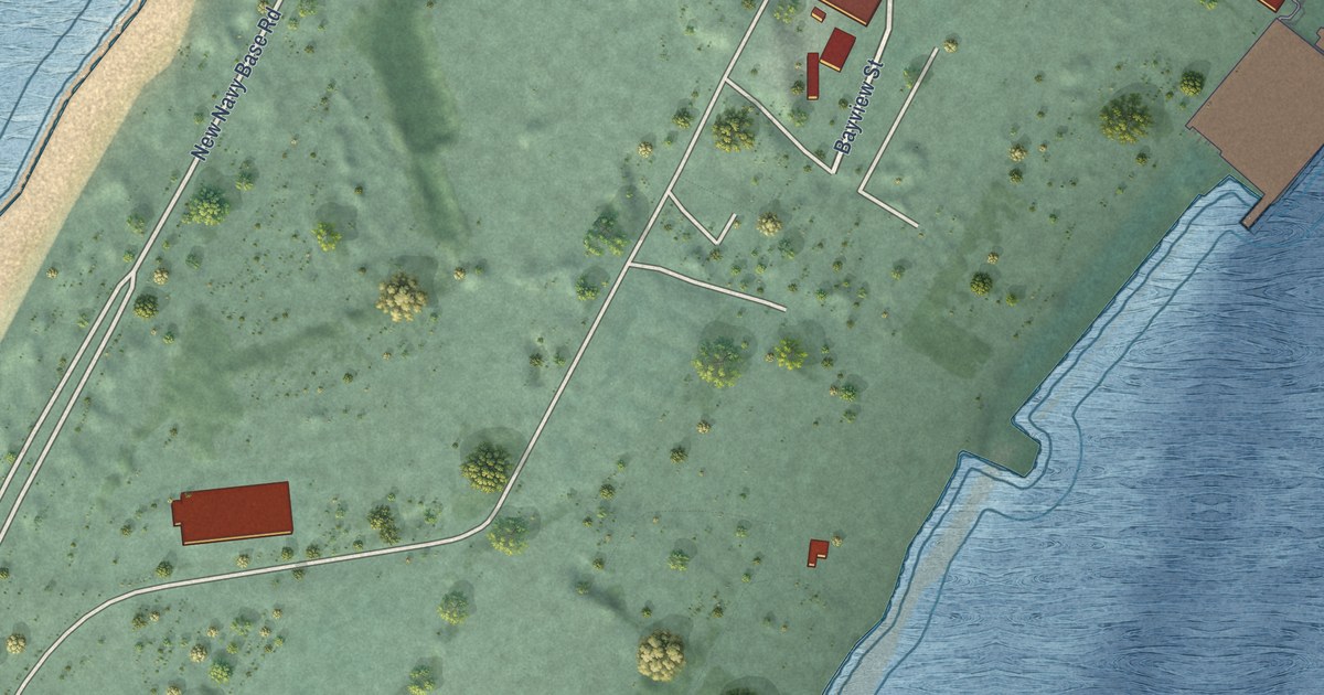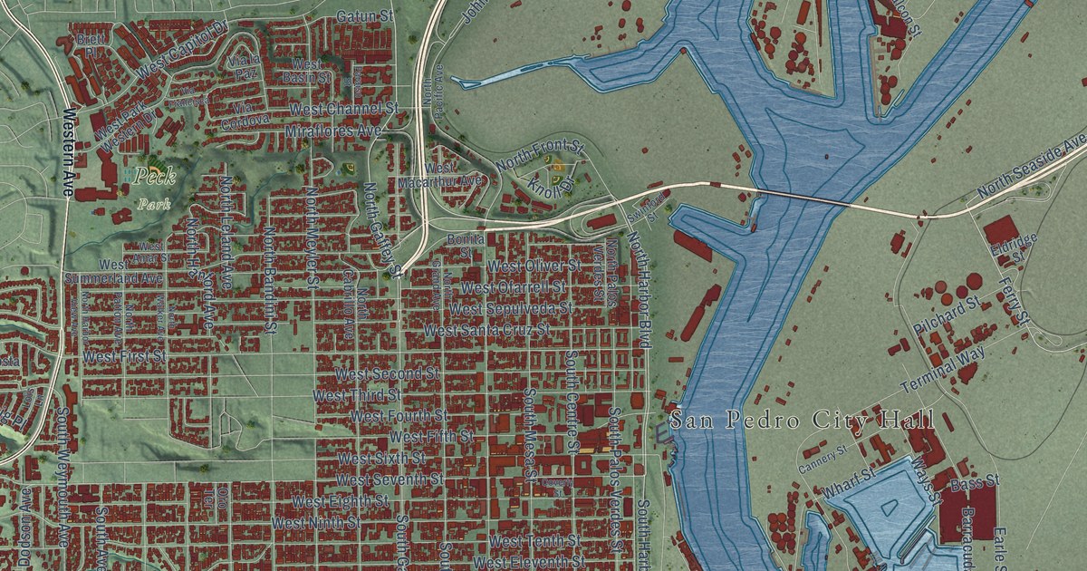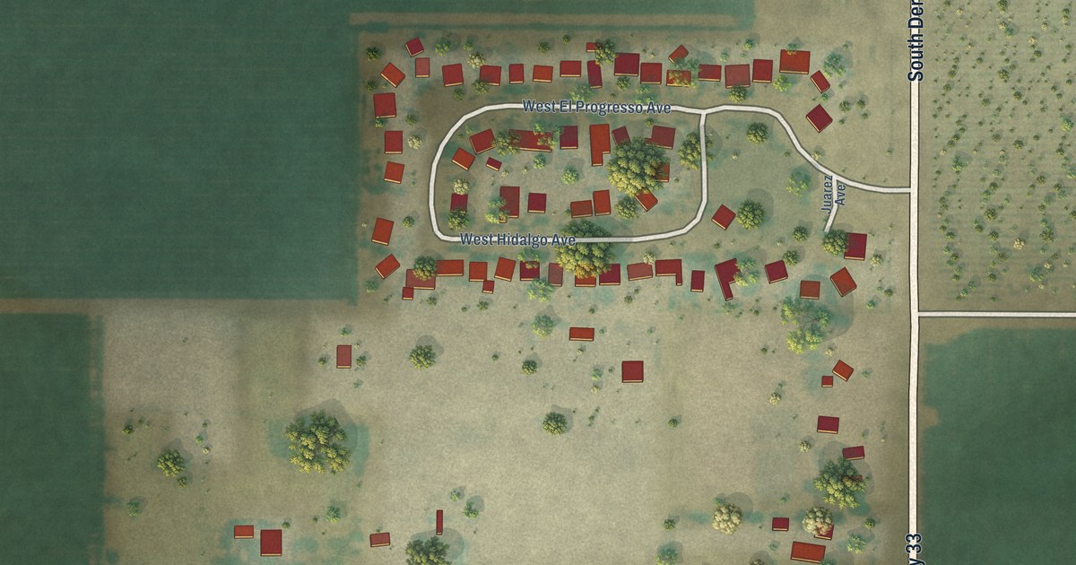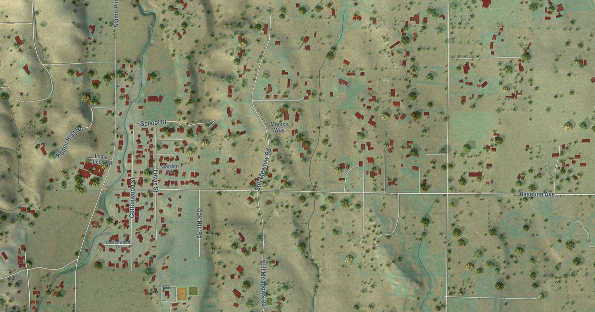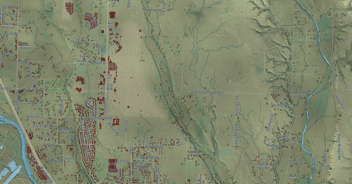
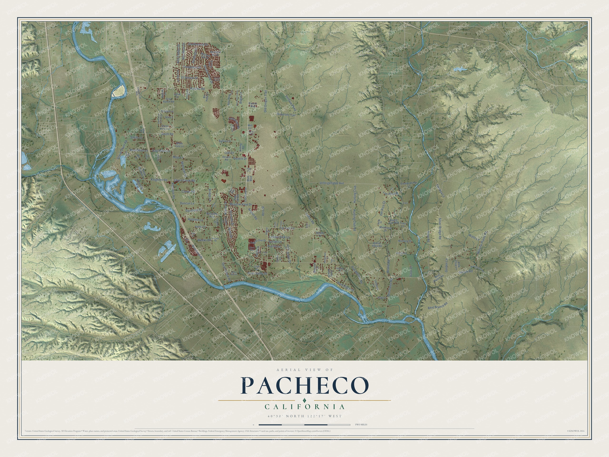
This beautifully detailed map of Pacheco, California was created in 2026 using aerial imagery combined with modern topographical, census, street and landmark data. It’s a one-of-a-kind view of Pacheco that combines accurate data with a vintage aesthetic. The map shows every building in its true location, many of the roads carry their names, and the shaded topographic relief shows the shape of the land.
Explore an aerial view of Pacheco, California
On the map you’ll find Hunting Club, along with Churn Creek Road, Airport Road, Prairie Lane, Drake Drive, Robles Drive, Aero Street, Dersch Road, Deschutes Road, Knighton Road, Riverland Drive, Hunting Club Road, and more. If you look closely you can even find your house accurately drawn in its correct location. Zoom in on the preview to look for yours.
Did You Know?
From Internet Archive: "Alfred Thurber founded the Pacheco School, and has been for six years County Superintendent of Contra Costa."
Pacheco is a community in Shasta County.
Take a closer look at the Pacheco map
Names on this map
These names are printed on this map.
Streets and roads: Churn Creek Road, Airport Road, Hunting Club, Prairie Lane, Drake Drive, Robles Drive, Aero Street, Dersch Road, Deschutes Road, Knighton Road, Riverland Drive, Hunting Club Road.
More street names, A to Z
Adra Road, Alta Campo Drive, Alta Mesa Drive, Alta Saga Drive, Amigo Way, Apple Lane, Arlin Lane, Aviator Lane, Avtech Parkway, Barn Owl Drive, Beatie Road, Bent Branch Road, Bent Ranch Road, Berghus Road, Bill Lane, Bogie Lane, Bolam Creek Road, Bonita Vista Road, Bo Peep Lane, Bridge Lane, Buena Oak Way, Castlewood Drive, Ceres Court, Clark River Drive, Clear View Drive, Clover Road, Commercial Way, Critter Lane, Curtis Lane, Dairyland Drive, Day Lane, Debbie Lane, Del Rico Court, Desperado Trail, Devere Drive, Devere Road, Dilley Lane, Divot Way, Drake Lane, Dreamcatcher Lane, Duncan Lane, Eastmont Drive, East Niles Lane, Electro Way, El Verano Street, Fig Tree Lane, Flight Avenue, Garth Drive, Golden Lane, Granada Drive, Gravel Plant Road, Gray Ranch Road, Green Acres Drive West, Green Acres Lane, Green Meadow Lane, Haas Road, Haiti Drive, Henrys Fork Drive, Hole in One Drive, Holstein Lane, Homashea Lane, Kisling Road, Lardanel Lane, Lariat Lane, Lassen View Lane, Lemurian Road, Lisa Lane, Lockheed Drive, Loftus Road, Los Altos Drive, Lyal Lane, Meadowlark Lane, Meadow View Drive, Medo Vale Lane, Mill Lane, Millville Plains Road, Miramonte Drive, Mohegan Court, Mojo Lane, Montana Sky Drive, Mossom Lane, Muni Boulevard, Music Road, Mustang Drive, Nobles Trail Road, Oak Bottom Road, Old Oregon Trail, Orchard Lane, Pacheco Road, Palo Verde Lane, Park Ridge Drive, Paz Court, Pork Chop Lane, Quail Creek Road, Rancho Road, Rancho Vista Way, Riata Drive, River Valley Drive, Saratoga Drive, Scheer Drive, Sea Lane, Shasta View Drive, Silver Bridge Road, Skyway Street, Smith Lane, Smith Road, Sunset Lane, Sylvia Lane, Templeton Drive, Terry Lane, Theresa Lane, Thistle Lane, Todd Lane, Toro Way, Traci, Traci Lane, Tucker Lane, Unforgettable Avenue, Valley Lane, Valor Drive, Venture Parkway, Verona Drive, Vogt Lane, Walts Lane, Waterside Way, Weeks Road, Welcome Way, Western Oak Drive, West Niles Lane, Woodview Drive.
See it on a wall
The Pacheco, Shasta County map as a framed print. Swipe for more.


This beautifully detailed map of Pacheco, Shasta County makes an attractive addition to your office, library, or den, and it can even be used to teach children the geography and history of the area. It also makes a great gift for someone who left Pacheco and still calls it home. When you’re done exploring, click here to get your copy of the Pacheco, Shasta County map.