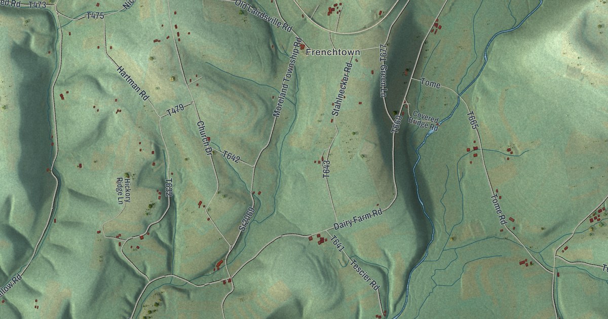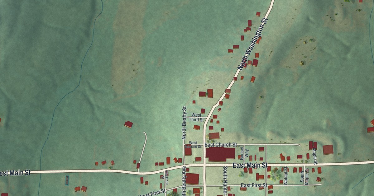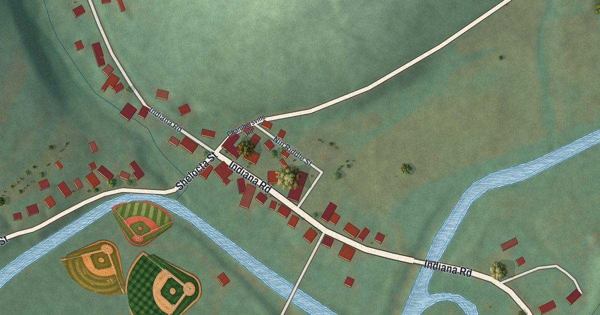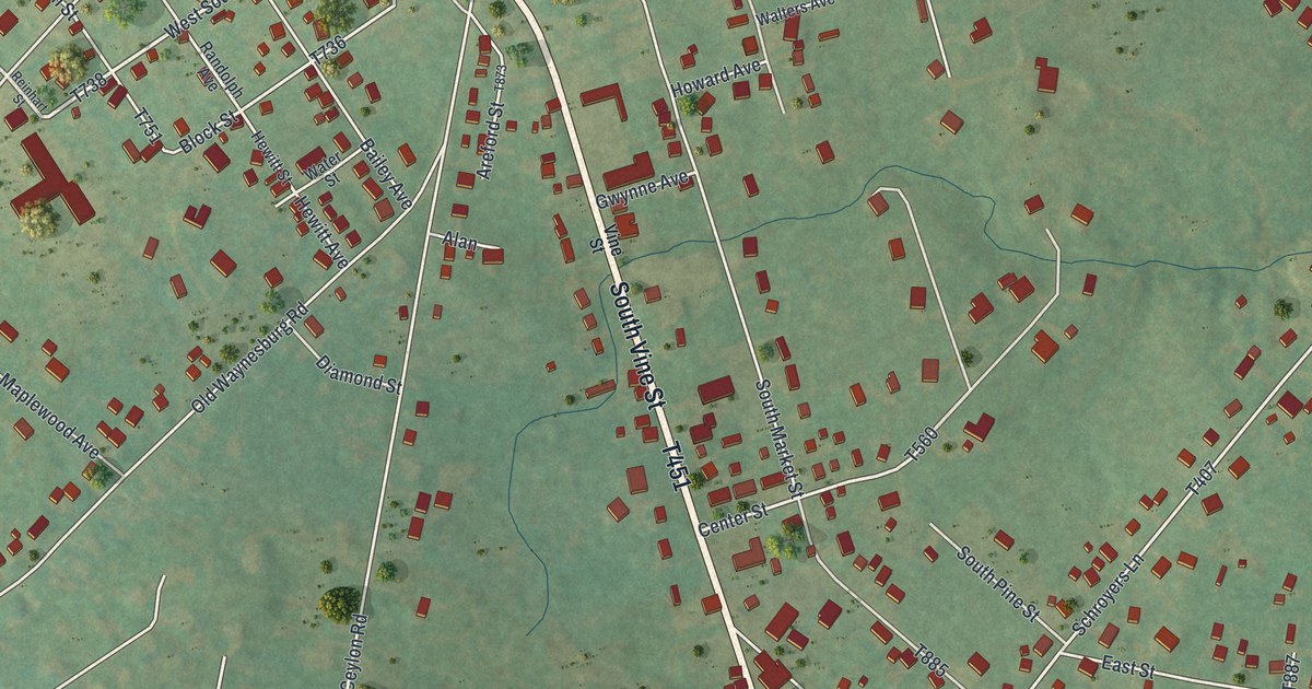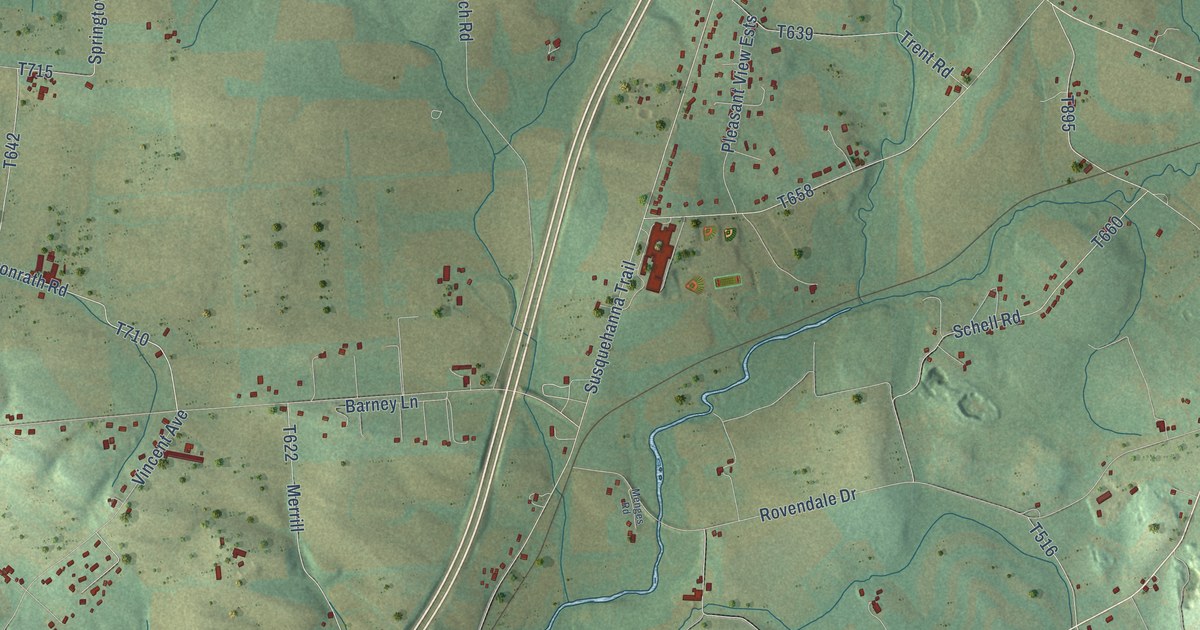
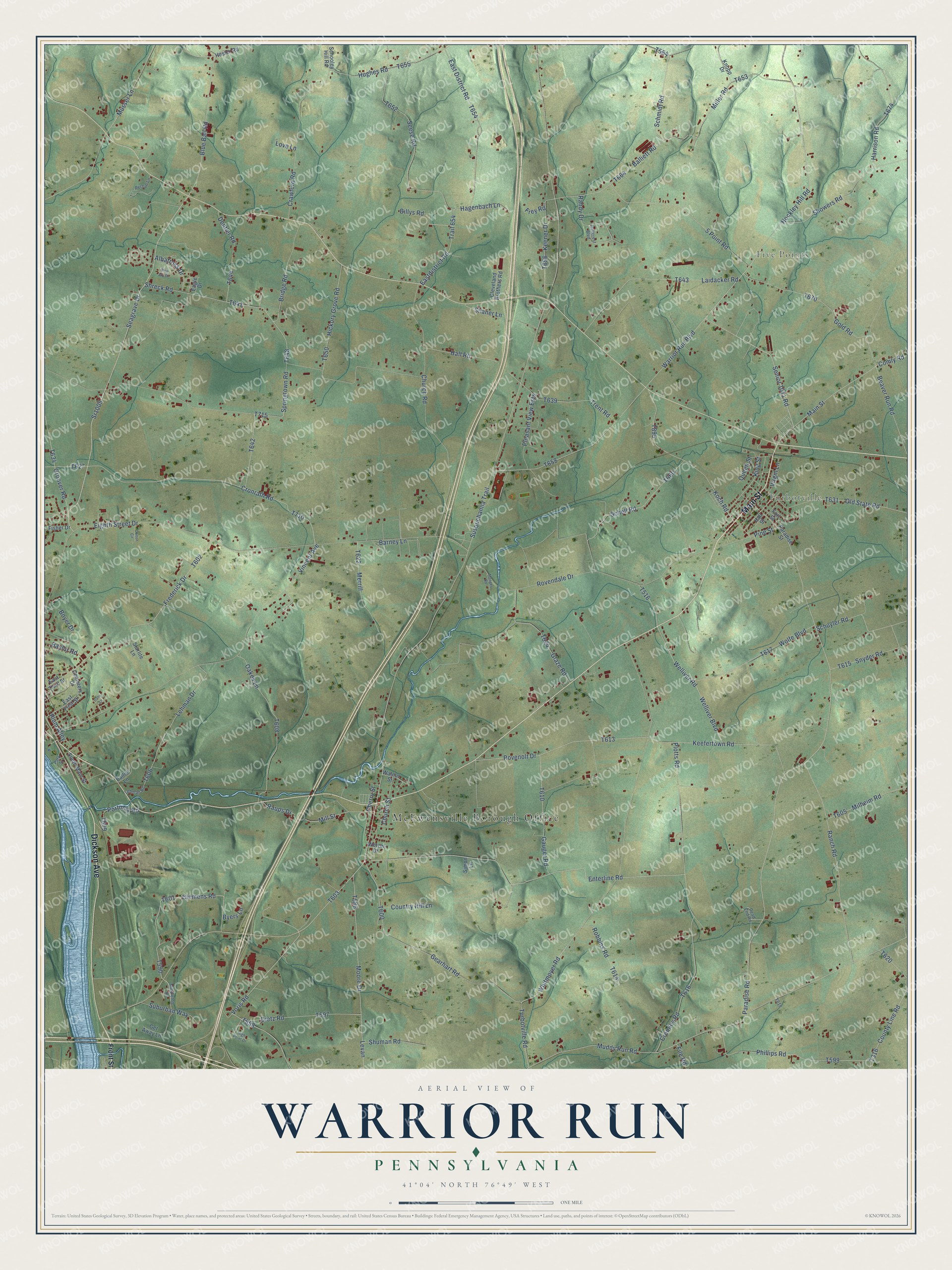
This beautifully detailed map of Warrior Run, Pennsylvania was created in 2026 using aerial imagery combined with modern topographical, census, street and landmark data. It’s a one-of-a-kind view of Warrior Run that combines accurate data with a vintage aesthetic. The map shows every building in its true location, many of the roads carry their names, and the shaded topographic relief shows the shape of the land.
Explore an aerial view of Warrior Run, Pennsylvania
On the map you’ll find McEwensville Borough Office, Five Points, and Turbotville, along with Main Street, Dickson Avenue, Clemens Road, Seagrave Drive, Senior 1011 Road, Cronrath Road, Blue Ball Road, Hockley Hill Road, Whitmoyer Road, and more. If you look closely you can even find your house accurately drawn in its correct location. Zoom in on the preview to look for yours.
Did You Know?
From Internet Archive: "The grandfather, with several others founded the Warrior Run Church, in Northumberland county, to which they gave the name of Derry Church."
Warrior Run is a community in Northumberland County.
Take a closer look at the Warrior Run map
Names on this map
These names are printed on this map.
Places: McEwensville Borough Office, Five Points and Turbotville.
Streets and roads: Main Street, Dickson Avenue, Clemens Road, Seagrave Drive, Senior 1011 Road, Cronrath Road, Blue Ball Road, Hockley Hill Road, Whitmoyer Road, Paradise Road, Bridge Road, King Street.
More street names, A to Z
5 Point Road, Albatross Drive, Balliet Lane, Balliett Road, Barney Lane, Baylor Road, Beaver Run Road, Billys Road, Blue Jay Drive, Boyer Drive, Byers Lane, Cemetery Drive, Cherry Street, Church Road, Church Street, Cleveland Brothers Road, Colton Circle, Comly Road, Country Hill Lane, County Line Road, Crawford Road, Cromley Road, Dans Lane, Dead End Road, Dentler Road, Dietz Road, Eagle Drive, East District Road, Eastdistrict Road, East First Street, East Third Street, Eighth Street Drive, Enterline Road, File Road, Fisher Drive, Fort Street, Frederick Drive, Frey Road, Front Street, Gauger Road, Gearhart Road, Get Away Lane, Glaze Road, Gold Road, Groover Road, Hagenbach Lane, Hall Road, Hall Street, Harrison Road, Hester Road, Hickory Grove Road, High Point Drive, Hughes Road, Hullcrest Boulevard, Keefertown Road, Keener Drive, Knopp Drive, Koch Road, Laidacker Road, Lehman Drive, Lehman Road, Levan, Love Lane, Menges Road, Merrill, Middleton Drive, Milheim Road, Miller Road, Mill Street, Moore Drive, Muddy Run Road, Musser Lane, Oakes Lane, Old State Road, Paradise Street, Park Street, Persun Lane, Phillips Road, Pine Street, Pleasant View Ests, Plotts Road, Plum Alley, Portmay Road, Queen Street, Ranch Road, Randy Drive, Raups Drive, Robbins Road, Rovendale Drive, Rovenolt Drive, Schell Road, Schmidt Road, Schooley Hill Road, Schuyler Road, Seese Road, Shaner Lane, Showers Road, Shreck Road, Shuman Road, Simon Lane, Snyder Road, South Main Street, Springtown Road, Sr1005, Starlite Lane, Suburban Way, Susquehanna Trail, Trail 654, Trent Road, Turbotville Road, Vincent Avenue, Virgin Lane, Voris Road, Walnut Street, Warrior Run Boulevard, Welliver Boulevard, Welliver Road, Wetzel Drive, Wolfe Boulevard.
See it on a wall
The Warrior Run, Northumberland County map as a framed print. Swipe for more.


This beautifully detailed map of Warrior Run, Northumberland County makes an attractive addition to your office, library, or den, and it can even be used to teach children the geography and history of the area. It also makes a great gift for someone who left Warrior Run and still calls it home. When you’re done exploring, click here to get your copy of the Warrior Run, Northumberland County map.