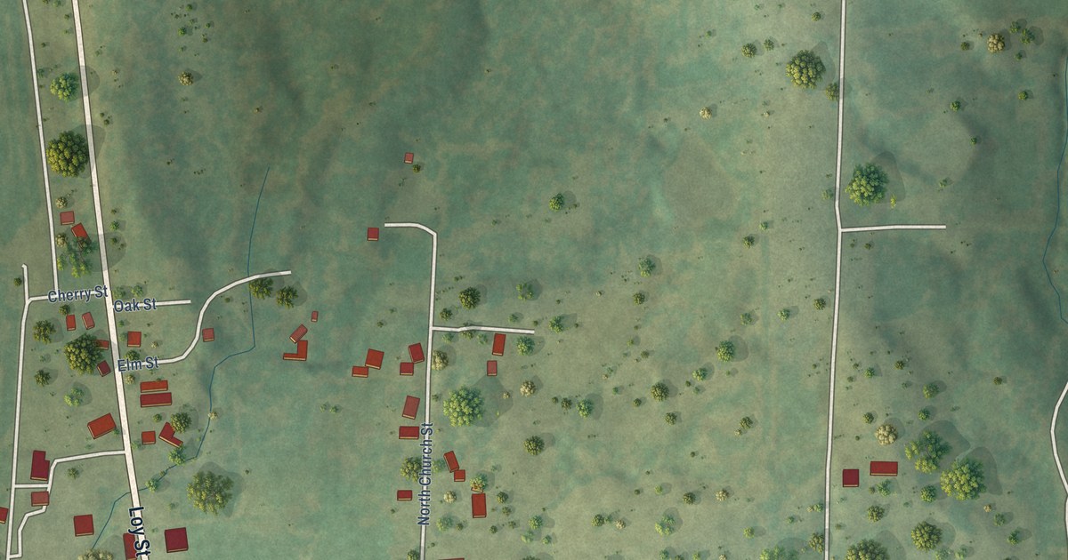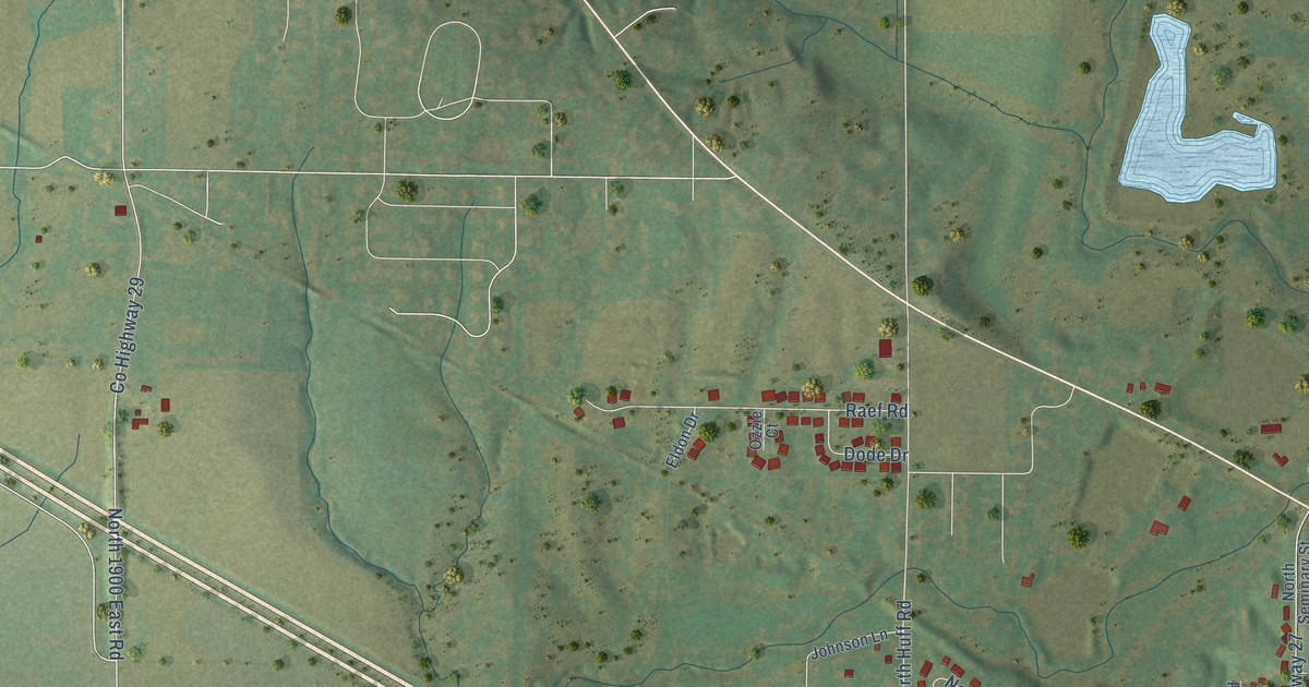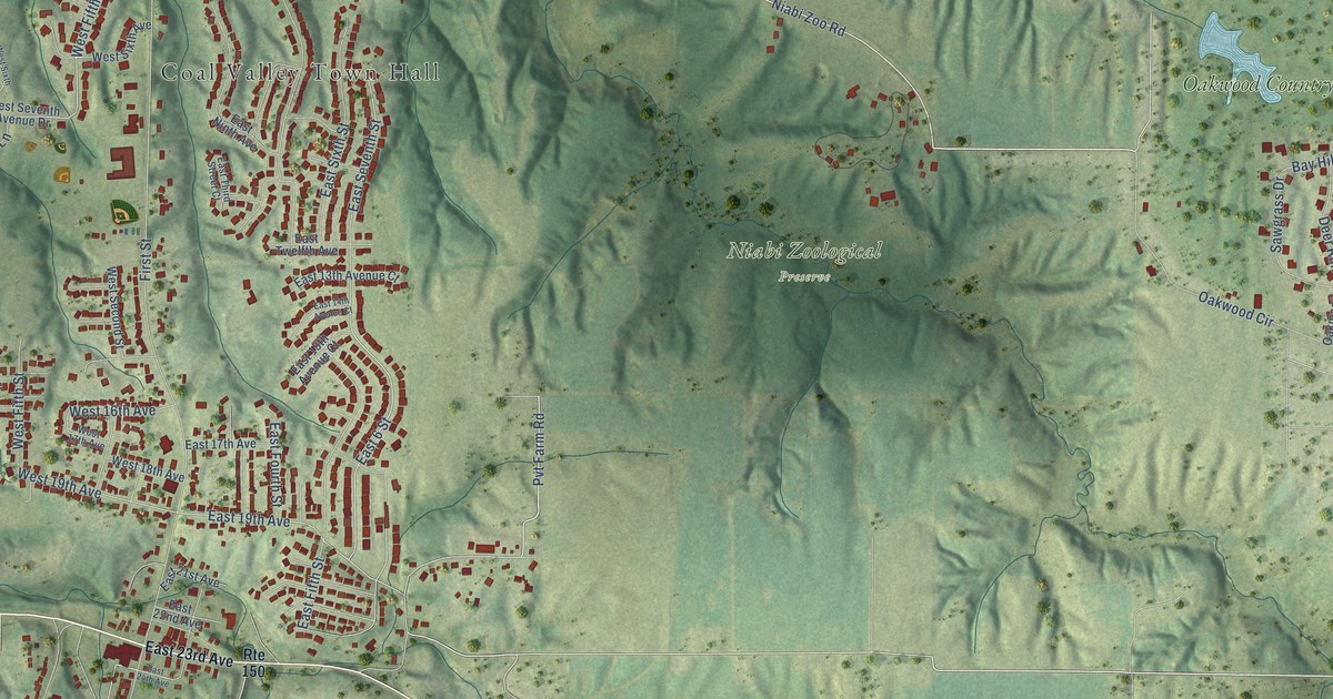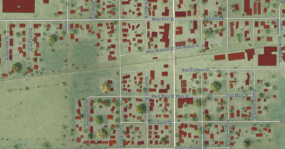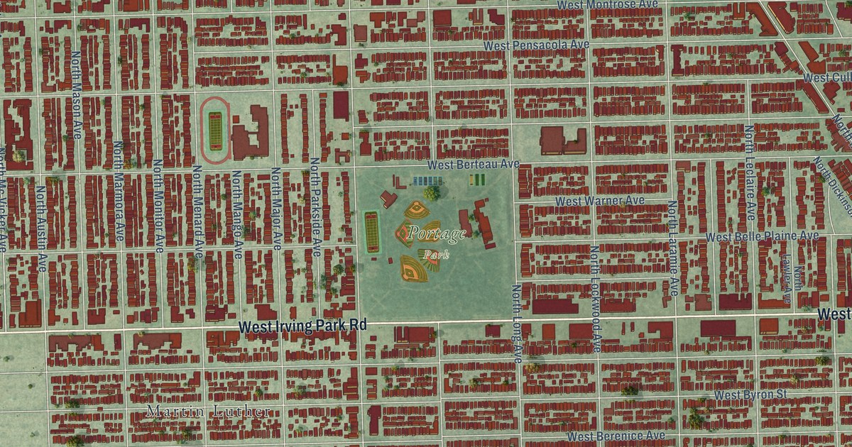
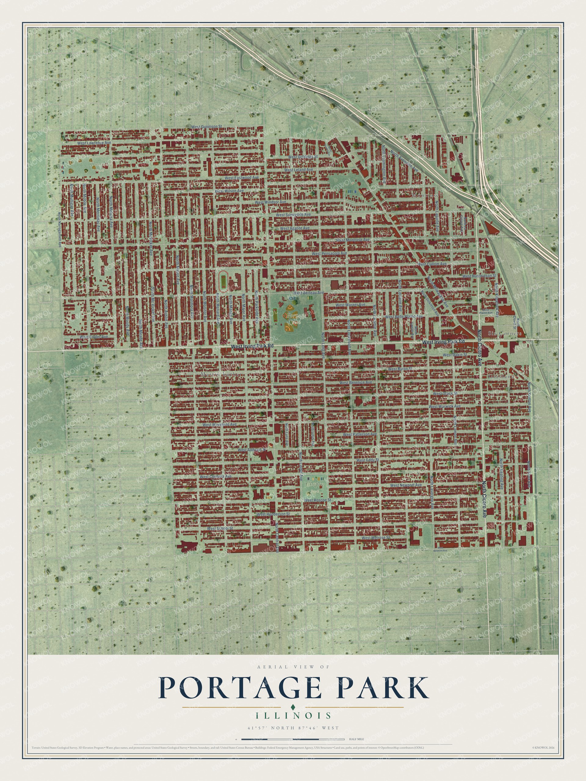
This beautifully detailed map of Portage Park, Illinois was created in 2026 using aerial imagery combined with modern topographical, census, street and landmark data. It’s a one-of-a-kind view of Portage Park that combines accurate data with a vintage aesthetic. The map shows every building in its true location, many of the roads carry their names, and the shaded topographic relief shows the shape of the land.
Explore an aerial view of Portage Park, Illinois
On the map you’ll find Dunham Park, Chopin Park, Montrose, Six Corners, Martin Luther, and Grayland, along with West Irving Park Road, North Cicero Avenue, West Leland Avenue, North Laporte Avenue, West Berteau Avenue, and more. If you look closely you can even find your house accurately drawn in its correct location. Zoom in on the preview to look for yours.
Did You Know?
Portage Park is named for an old canoe portage along what is now Irving Park Road. Native Americans and fur traders once carried their canoes there between the Des Plaines and Chicago Rivers. In 1913 residents formed their own park board. The park they built joined several separate communities into one neighborhood.
Take a closer look at the Portage Park map
Names on this map
These names are printed on this map.
Places: Dunham Park, Portage Park, Chopin Park, Montrose, Six Corners, Martin Luther and Grayland.
Streets and roads: West Irving Park Road, North Cicero Avenue, West Leland Avenue, North Laporte Avenue, West Berteau Avenue, West Montrose Avenue, North Central Avenue, North Menard Avenue, North Major Avenue, West Sunnyside Avenue, North Long Avenue, North Marmora Avenue.
More street names, A to Z
Belle Plaine Avenue, North Austin Avenue, North Avondale Avenue, North Clover Street, North Dickinson Avenue, North Keating Avenue, North Kenton Avenue, North Kilpatrick Avenue, North Knox Avenue, North La Crosse Avenue, North Lamon Avenue, North Laramie Avenue, North Lavergne Avenue, North Lawler Avenue, North Leamington Avenue, North Leclaire Avenue, North Linder Avenue, North Lockwood Avenue, North London Avenue, North Lotus Avenue, North Luna Avenue, North Mango Avenue, North Mason Avenue, North Mc Vicker Avenue, North McVicker Avenue, North Meade Avenue, North Melvina Avenue, North Merrimac Avenue, North Milwaukee Avenue, North Mobile Avenue, North Monitor Avenue, North Moody Avenue, North Mulligan Avenue, North Narragansett Avenue, North Parkside Avenue, West Addison Street, West Agatite Avenue, West Belle Plaine Avenue, West Belmont Avenue, West Berenice Avenue, West Byron Street, West Cornelia Avenue, West Cullom Avenue, West Cuyler Avenue, West Dakin Street, West Eastwood Avenue, West Eddy Street, West Giddings Street, West Grace Street, West Gunnison Street, West Henderson Street, West Hutchinson Street, West Lawrence Avenue, West Melrose Street, West Newport Avenue, West Patterson Avenue, West Pensacola Avenue, West Roscoe Street, West School Street, West Warner Avenue, West Warwick Avenue, West Waveland Avenue, West Wilson Avenue, West Windsor Avenue.
See it on a wall
The Portage Park map as a framed print. Swipe for more.


This beautifully detailed map of Portage Park makes an attractive addition to your office, library, or den, and it can even be used to teach children the geography and history of the area. It also makes a great gift for someone who left Portage Park and still calls it home. When you’re done exploring, click here to get your copy of the Portage Park map.