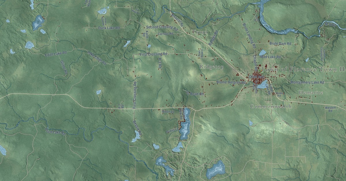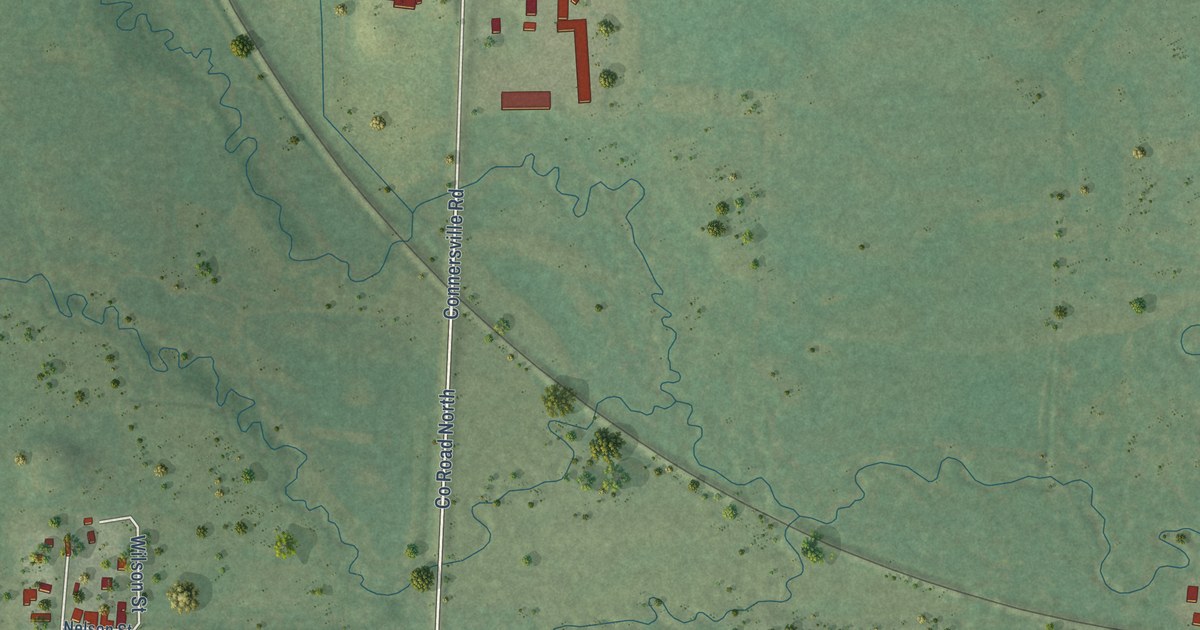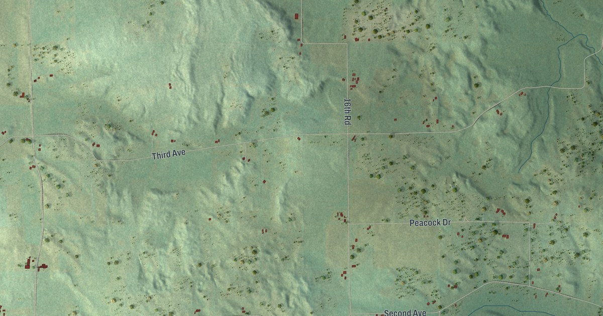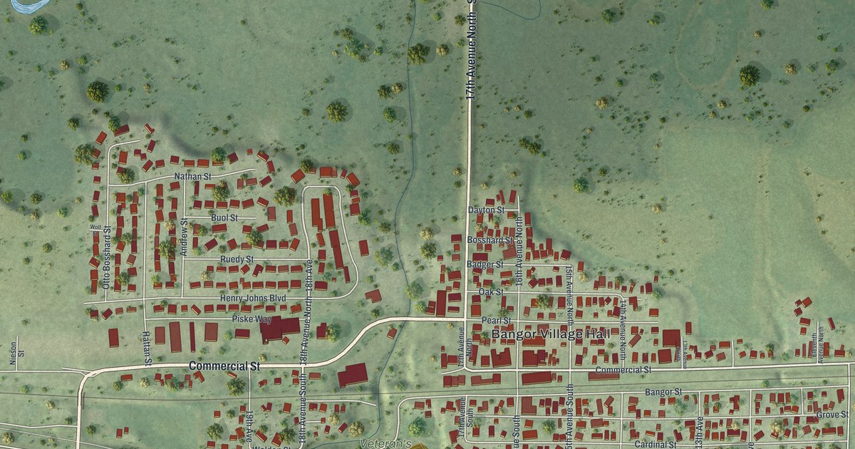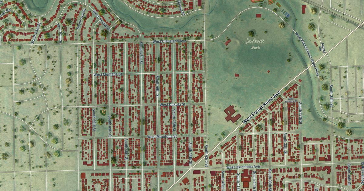
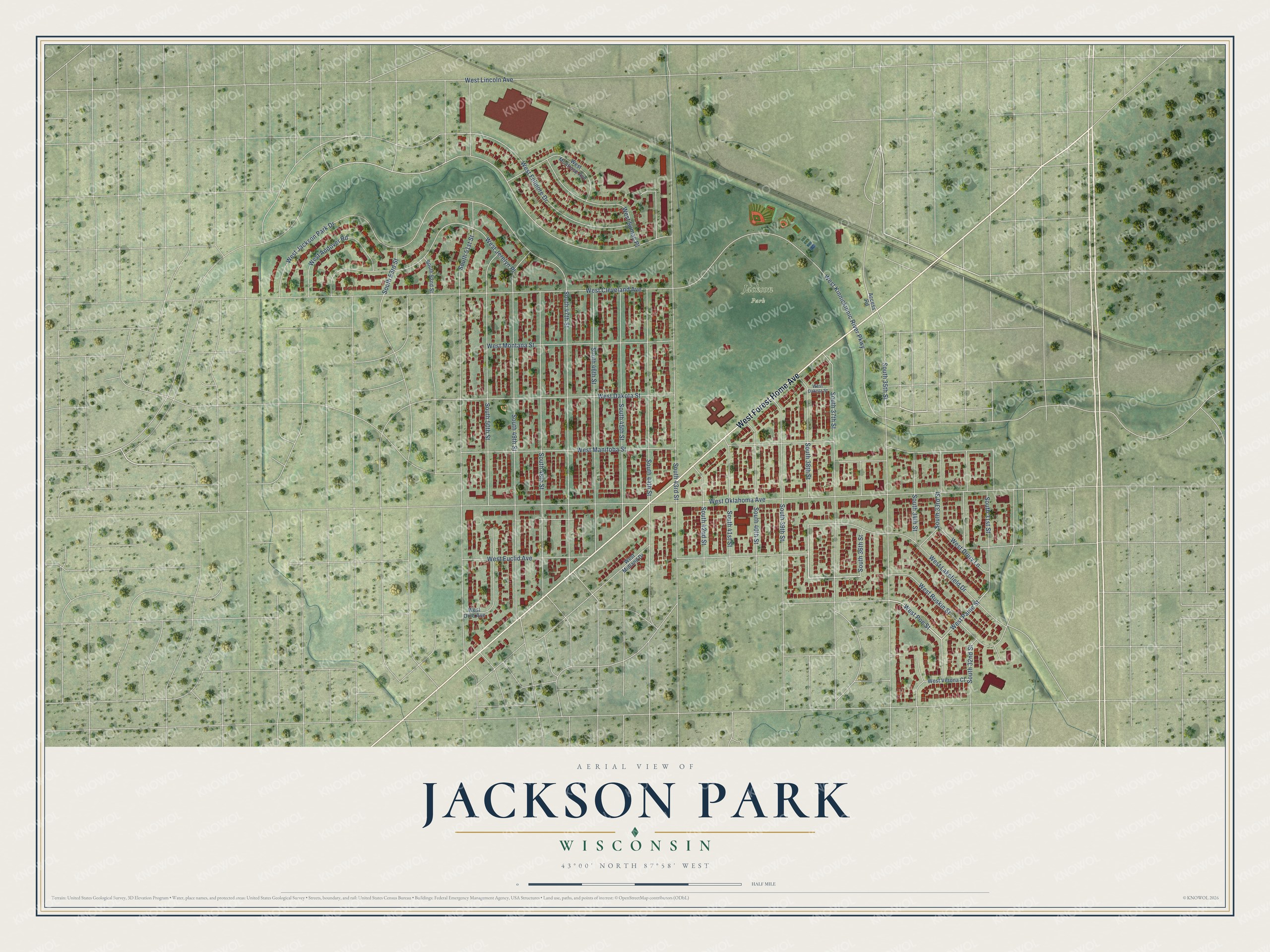
This beautifully detailed map of Jackson Park, Wisconsin was created in 2026 using aerial imagery combined with modern topographical, census, street and landmark data. It’s a one-of-a-kind view of Jackson Park that combines accurate data with a vintage aesthetic. The map shows every building in its true location, many of the roads carry their names, and the shaded topographic relief shows the shape of the land.
Explore an aerial view of Jackson Park, Wisconsin
On the map you’ll find West Forest Home Avenue, West Ruskin Street, South 38th Street, West Poe Street, West Paine Street, West Kinnickinnic River Parkway, West Oklahoma Avenue, West Manitoba Street, South 43rd Street, West Jackson Park Drive, South 49th Street, and more. If you look closely you can even find your house accurately drawn in its correct location. Zoom in on the preview to look for yours.
Did You Know?
From Internet Archive: "Paul railroad with its timber for bridges, ties, telegraph poles, etc., and also furnished part of the piles for the Jackson Park World's Fair pier, Chicago."
Jackson Park is a place in Milwaukee County.
Take a closer look at the Jackson Park map
Names on this map
These names are printed on this map.
Places: Jackson Park.
Streets and roads: West Forest Home Avenue, West Ruskin Street, South 38th Street, West Poe Street, West Paine Street, West Kinnickinnic River Parkway, West Oklahoma Avenue, West Manitoba Street, South 43rd Street, West Jackson Park Drive, South 49th Street, South 35th Street.
More street names, A to Z
Access Road, South 31st Street, South 32nd Street, South 33rd Street, South 34th Street, South 36th Street, South 37th Street, South 39th Street, South 40th Street, South 41st Street, South 42nd Street, South 44th Street, South 45th Street, South 46th Street, South 47th Street, South 48th Street, South 50th Street, South 51st Street, South 52nd Street, South 53rd Street, West Andover Road, West Cleveland Avenue, West Dakota Street, West Drury Lane, West Euclid Avenue, West Fillmore Drive, West Jerelyn Place, West Lakefield Drive, West Lincoln Avenue, West Midland Drive, West Montana Street, West Montrose Avenue, West Ohio Avenue, West Sumac Place, West Verona Court.
See it on a wall
The Jackson Park map as a framed print. Swipe for more.


This beautifully detailed map of Jackson Park makes an attractive addition to your office, library, or den, and it can even be used to teach children the geography and history of the area. It also makes a great gift for someone who left Jackson Park and still calls it home. When you’re done exploring, click here to get your copy of the Jackson Park map.